09/12 - Steve's Midday Forecast
Rain and storms will be possible each day for the next week. And we're watching the tropics and newly-formed Tropical Storm Ian in the central Atlantic.
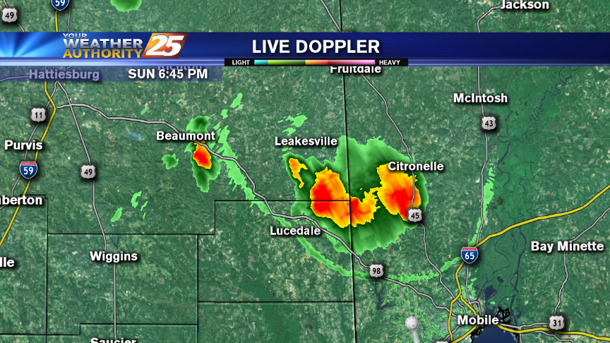
Rain and storms will be possible each day for the next week. And we're watching the tropics and newly-formed Tropical Storm Ian in the central Atlantic.
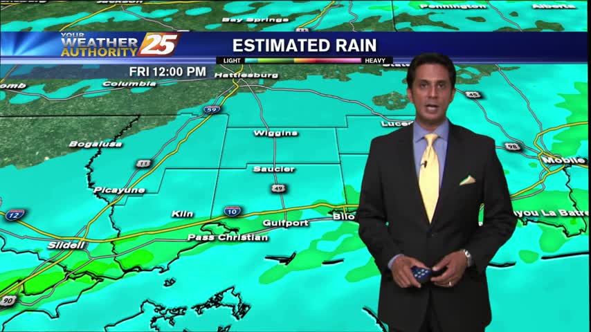
More rain and storms this week ... and we get an understanding of Fall's colors!
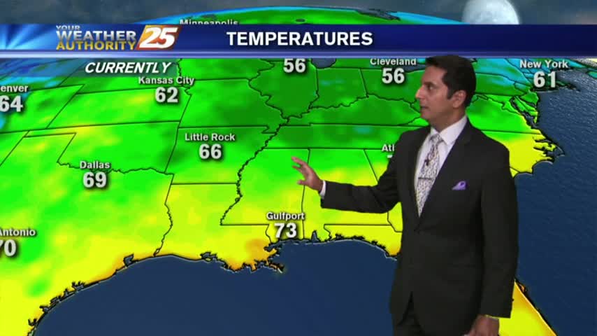
After a few overnight t-storms, this morning is starting off with isolated showers along the southern 6...
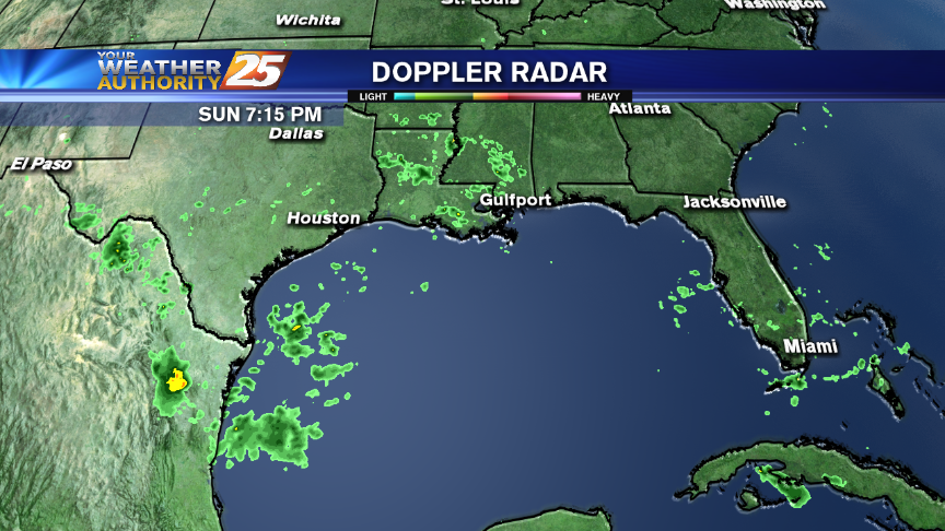
More rain could be on the way this week!
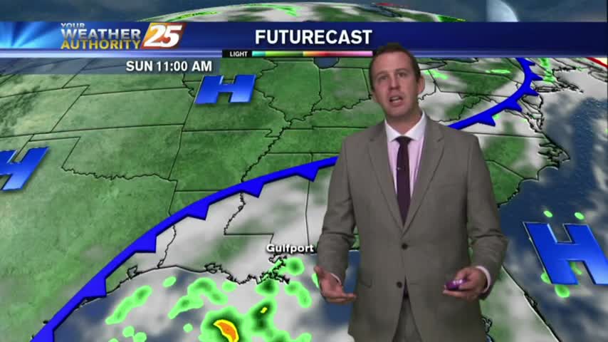
The good news is that we'll see a drier and clear evening after today's beautiful afternoon, the bad news is today was the last dry day and our humidity is returning. Temperatures will finally return to the 90s as early…
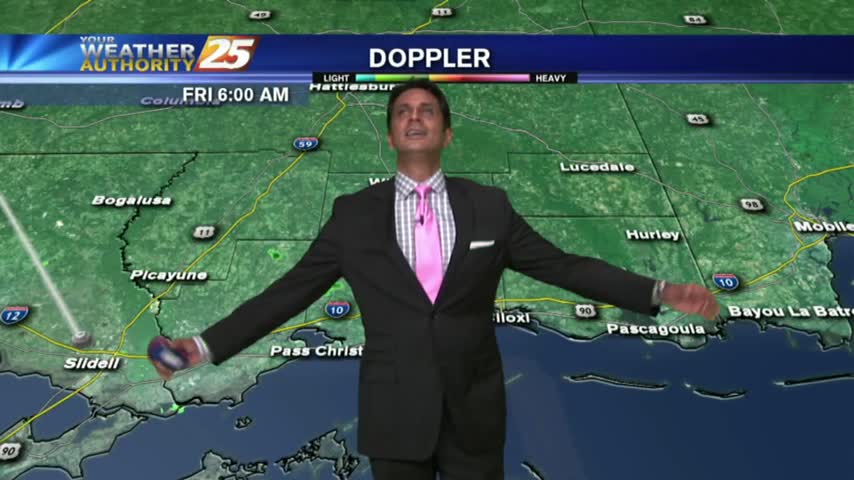
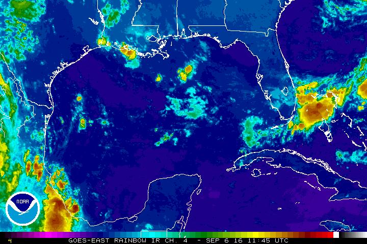
Isolated showers are hugging the outer-coastal waters, as an area of low-pressure developed in the NW'tern Gulf last night,
When is rain returning to the Coast? Steve's got the details!

The weather for today and a look at the tropics.
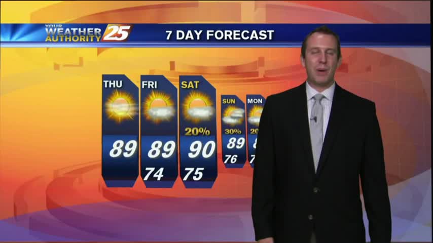
How long can this nearly perfect weather last? Find out inside.
How long will this gorgeous weather last? Find out in the forecast.
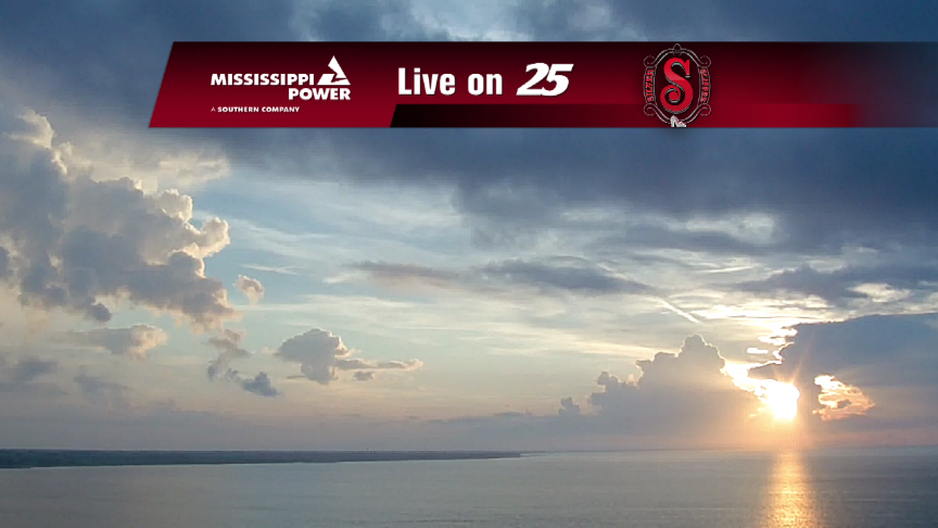
Well, maybe not the ENTIRE forecast ... We hit the late week with excellent weather for the Coast, rain-free through Saturday, as of this writing. Expect a cool overnight low tonight near 70 degrees (cooler farther north) and high temps…
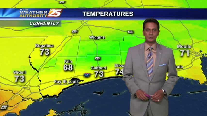
A MUCH different start than 24 hours ago as cooler/drier air is moving into south Mississippi...
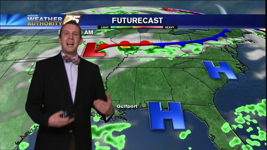
After a wet start to the day, the evening was much drier. How long will this continue? Find out inside.

After the long Labor Day weekend, we're heading back to work with a rather 'standard' summer-like day for south Mississippi. But, changes are coming and they'll be here later today.
Tuesday, September 5, 2016 Today's Weather: After the long Labor Day weekend, we're heading back to work with a rather 'standard' summer-like day for south Mississippi. But, changes are coming and they'll be here later today. It starts with a little,…
With an elevated cold front overhead slowly moving SW, the wet stuff is in the forecast for another day...
Showers have been in the area since prior to sunrise, daytime heating now developing them into T-Storms...
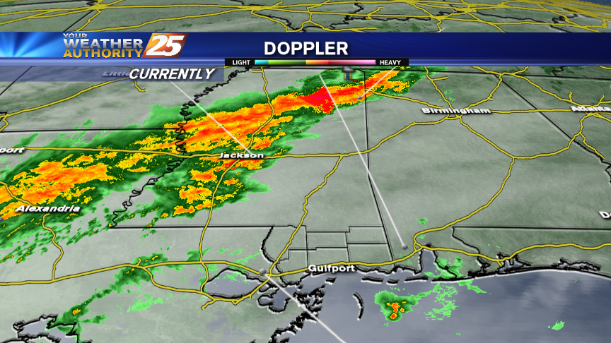
Rain and storms have lurked around the Coast today, dropping heavy rain at times as they moved in from the Gulf of Mexico. More of the same can be expected overnight, as abundant moisture will remain in place. For the…
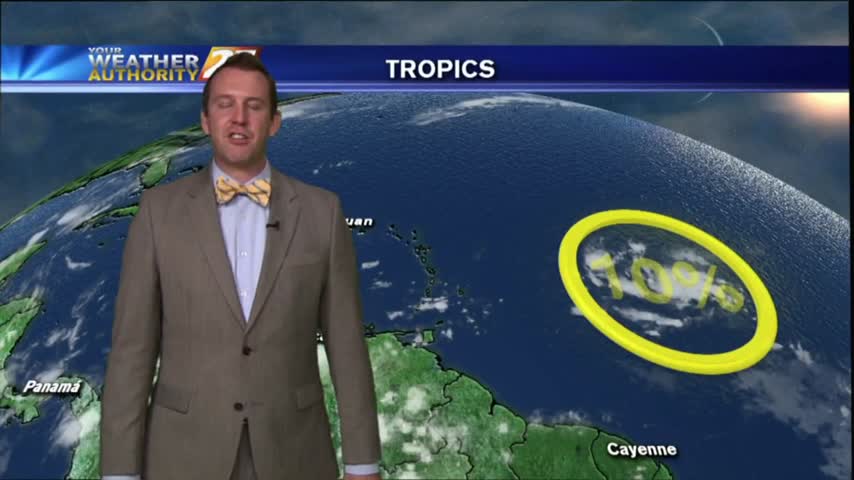
Hermine officially made landfall just after one in the morning last night. Where is she headed now? Details inside.
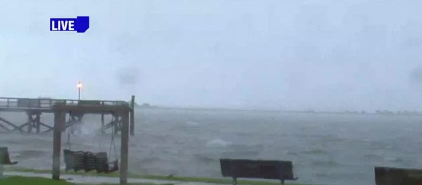
Thousands are without power and many residents are feeling the effects of Tropical Storm Hermine in North Carolina. WWAY’s Amanda Fitzpatrick from our sister station in Wilmington is live with a closer look at Tropical Storm Hermine.
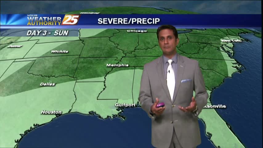
Hot temps are in the area with the mercury getting into the 90s once again before seasonal conditions return...
As TS HERMINE moves NE into Georgia, a drier wind and hotter temps will affect south Mississippi...
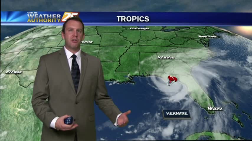
The Gulf got it's first Hurricane of the season, but luckily it is moving East of South MS. Details inside.

Tropical Storm Hermine made hurricane status this afternoon as Hurricane Hunters were investigating the storm. This storm is the first close call the Coast has seen this season. News 25’s Kristen Durand went along for the ride. She gives us…