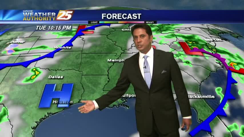
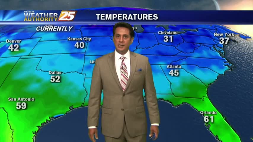
5/29 - Rob's Tuesday Morning Forecast
A mild start to the day with just a few mid/upper level clouds...mainly to the east.

A mild start to the day with just a few mid/upper level clouds...mainly to the east.

A mild start on this Memorial Day morning with cloud coverage and light rain moving in from the east/STS Alberto...

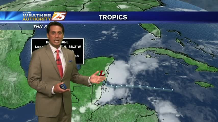
Sunrise activity diminished but starting to pop through the viewing area as daytime heating continues. TS ALBERTO is now in the Caribbean sea...
After overnight t-storms, this morning brings isolated showers/t-storms to our south...

A mild start to the day as showers from the south are dissipating as they move closer to the coast...
A humid start to the day as a strong tropical air mass continues through the region...
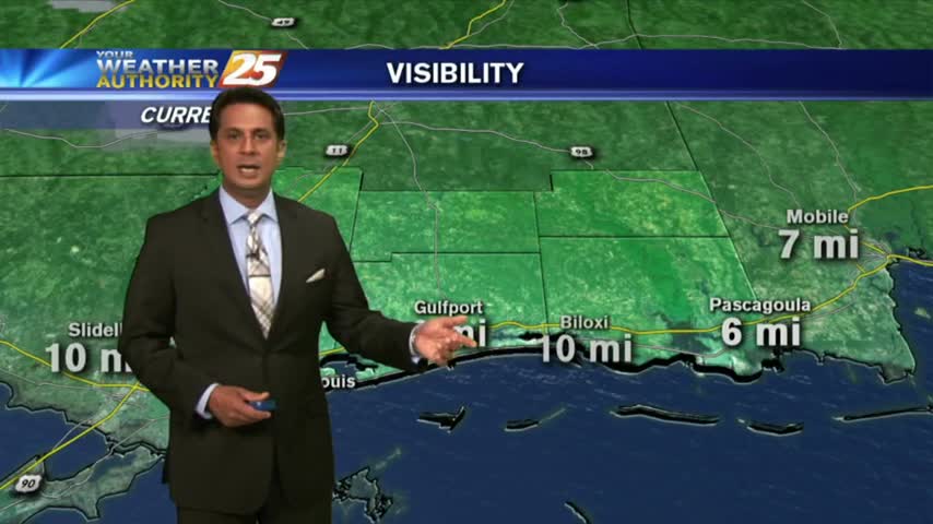
Overnight showers/t-storms continue to move in from the GOM...along with areas of patchy fog...
Another HUMID start after showers/t-storms yesterday afternoon/evening. Areas of patchy fog is along the Southern 6...

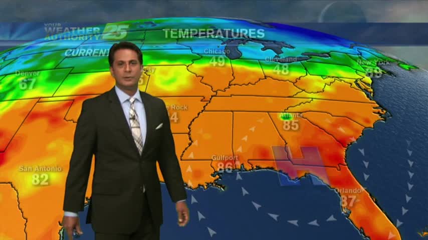
After record breaking temps yesterday afternoon, it's a very warm start for your Tuesday morning...
Heading into the weekend, temperatures warming into the mid/upper 80s feels HOTTER with the elevated humidity...
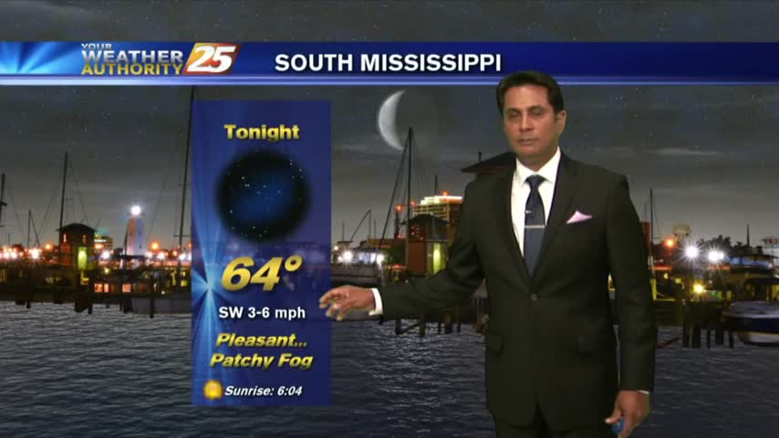
A HUMID start with areas of patchy fog east of Hwy 49...as we head into the Mother's Day weekend...
A mild start to the day as areas of light patchy fog is beginning to lift...
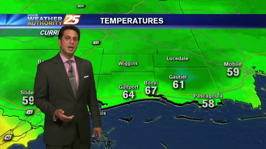
Yesterday's cold front moves south and dissipated, providing for slightly cooler morning temperatures...

A dry start to the workweek with a cold front north poised to move through the area this evening...

Another mild and humid start with areas of patchy fog along the Southern 6 counties...
A mild start to the day as a SE wind continues to elevate humidity and produce areas of patchy fog...

After a mild start to the day, temps continue to climb into the 80s with winds gusting into the 20 mph range...
A much warmer start to the day as an area of high-pressure continues to block the pattern...

Cloud coverage is moving in from the south and lowering in height, along with areas of patchy fog...
As a weak cold front moves through the area, showers and a few t-storms are in the vicinity...
A clear & cool start to the day with changes ahead with an approaching cold front...
A cool start to the day with very shallow ground fog, the fog will be much worse tonight...

After a RAINY Sunday, an area of low-pressure in W'tern Tennessee will keep clouds in the area...
A cooler start to your Friday morning as high-pressure and drier air continues to move into the region...