rob knight

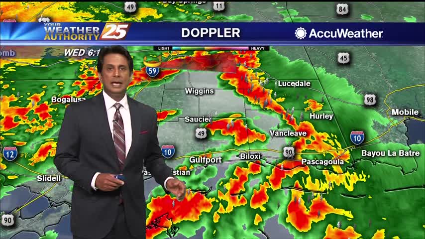
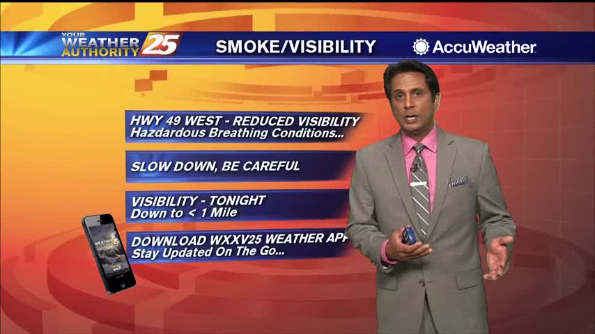
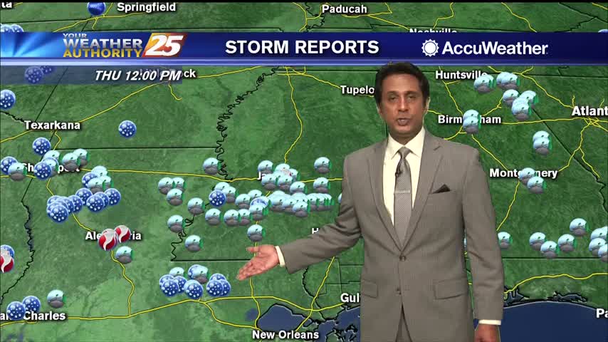
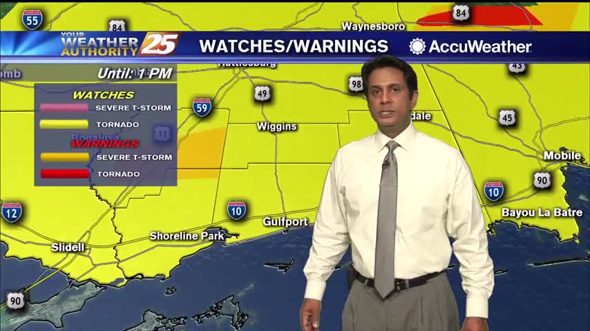
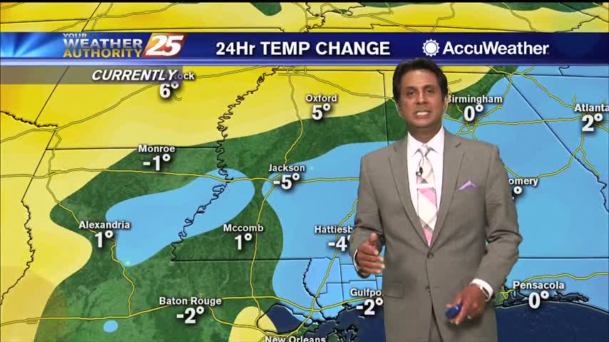
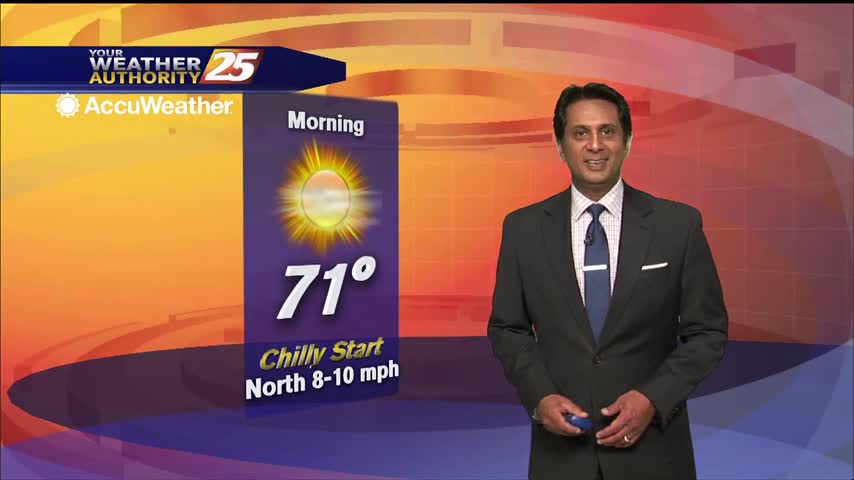
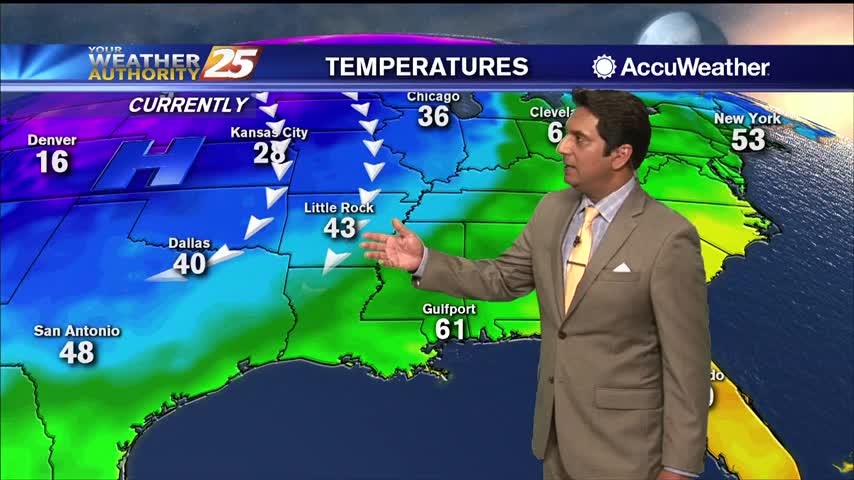
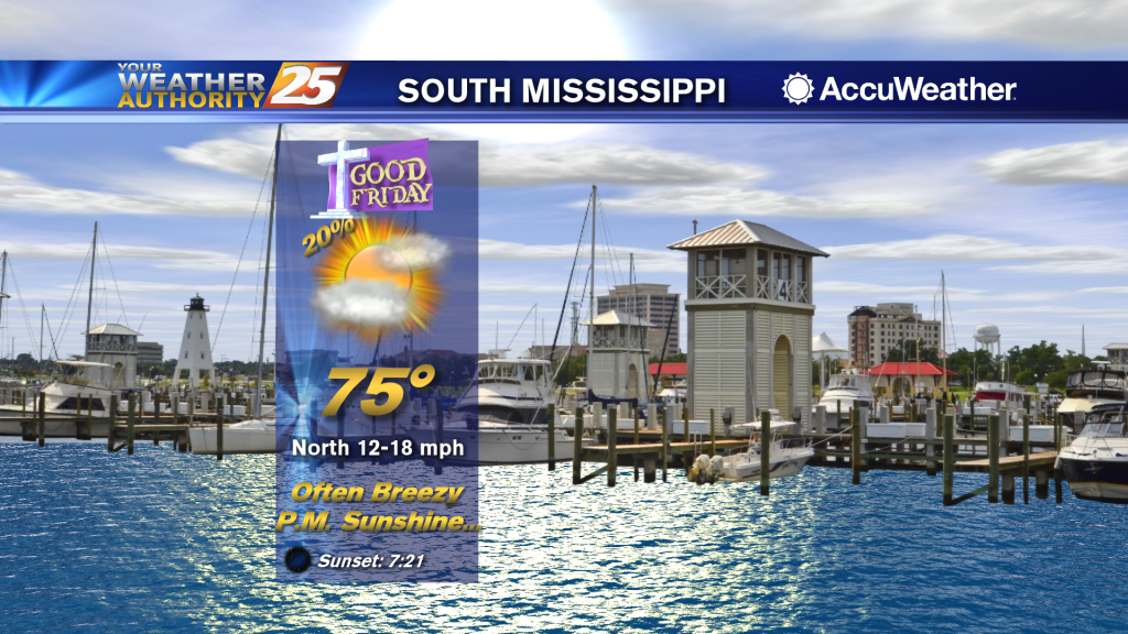
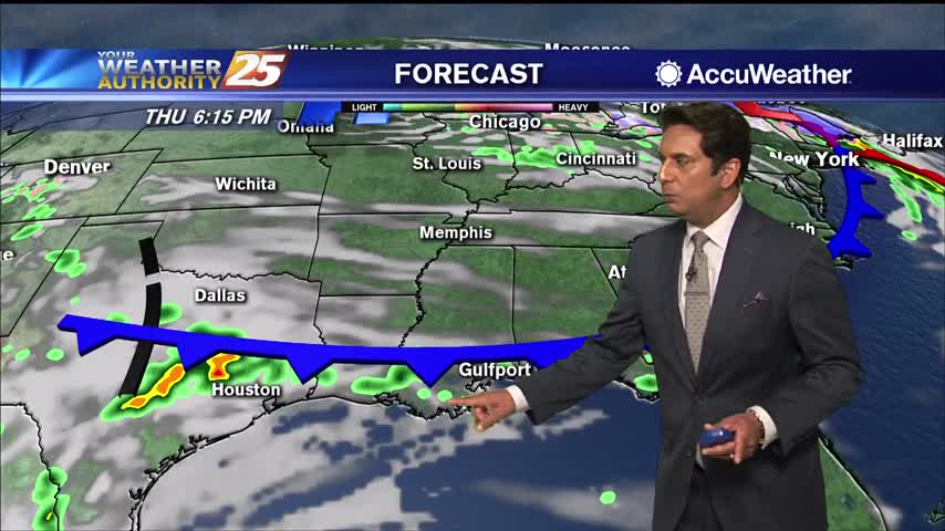
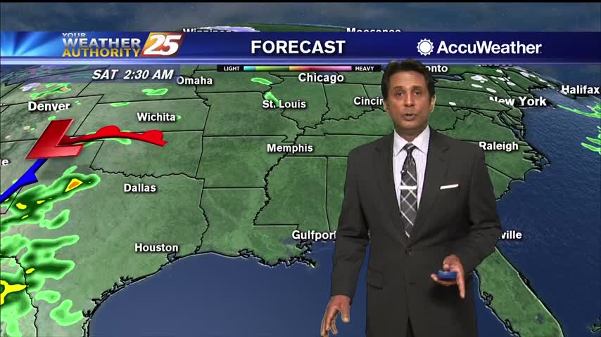
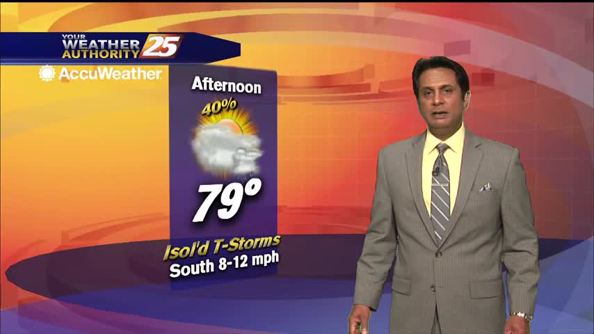
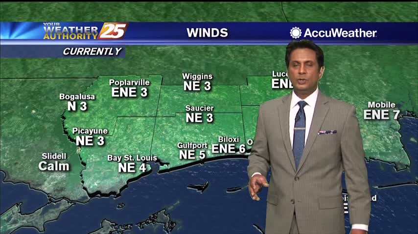
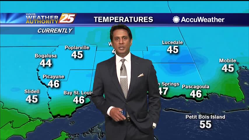
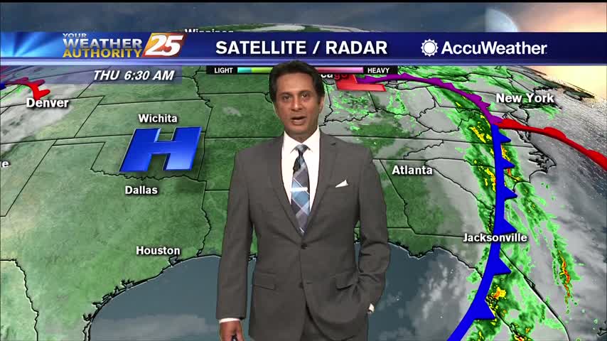
04/30 – Rob Knight's "Dry" Thursday Morning Forecast

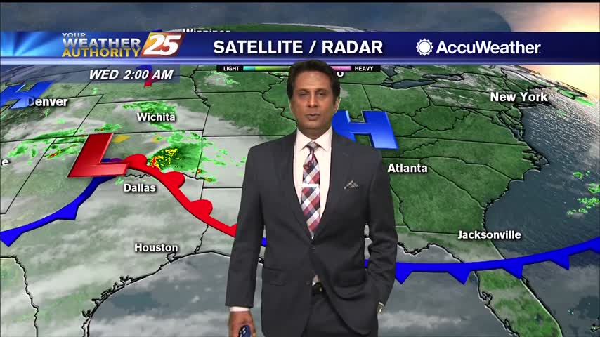
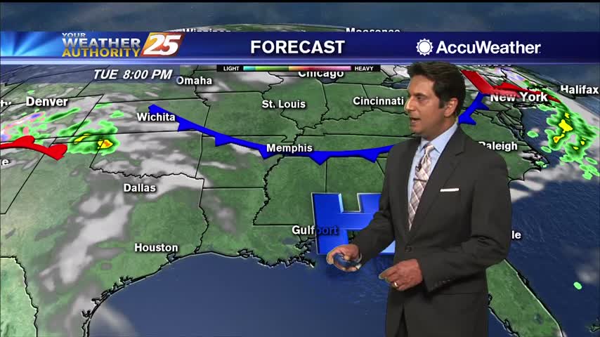
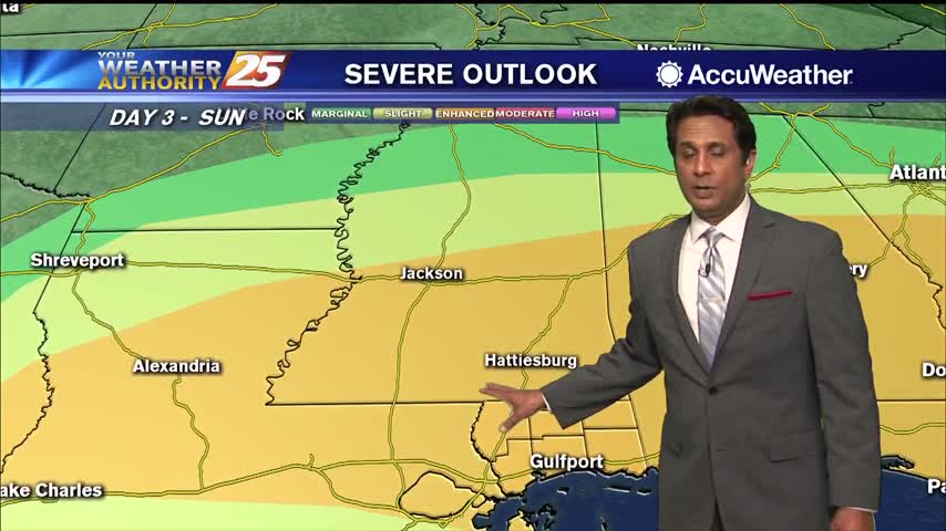
Dry high pressure has settled east of the continental divide and will remain in place for quite a while. Initially centered along the NW Gulf Coast, will migrate eastward slowly and park over NE Gulf Coast over the weekend into…

04/29 – Rob Knight's "Stormy" Wednesday Morning Forecast

High rain chances will continue this morning with showers and scattered embedded storms along the front. A few strong to severe storms in this squall line are expected with hail and strong to damaging wind gusts being the main factor,…

04/22 – Rob Knight's "Windy" Wednesday Forecast

The next 36 hours will deliver showers/t-storms to the area with some of these becoming strong to severe. The first of these looks to arrive after dark tonight and should be mainly reserved for the northern third of the area…

04/21 – Rob Knight's "Pattern Changing" Tuesday Forecast

The next system we're watching will be a potent disturbance currently over California that is expected to emerge in the southern plains region on Wednesday. This disturbance along with an associated potent surface low and cold front will move across…

04/16 – Rob Knight's "Comfortable" Thursday Forecast

Today will bring mild, pleasant sunny conditions across the forecast area with a few degrees warmer daytime temperature. Breezy conditions will continue with winds gusting into the upper teens to low 20 mph range at times. Surface flow will veer…

04/15 – Rob Knight's "Cooler" Wednesday Forecast

A couple of cold mornings in store as Canadian high pressure centered over central Texas and ridging into the Ohio and Allegheny Valleys remains in place through Thursday. Morning lows in the interior portion of the forecast area should settle…

04/14 – Rob Knight's "Mild" Tuesday Forecast

High pressure will continue to dominate the region through late workweek, bringing us rather calm conditions. Winds will be primarily northerly through the week with breezy conditions tonight into early Wednesday. Rain chances will also likely be lower through the…

04/08 – Rob Knight's "Warm" Wednesday Morning Forecast

High pressure will maintain its hold over the northeastern Gulf of Mexico throughout today before a cold front advances towards the region by early Thursday morning. While some isolated, light showers are possible this morning, most areas will stay dry. Also…

04/07 – Rob Knight's "Humid" Tuesday Morning Forecast

Current overview of the weather maps this morning illustrates the northern Gulf coast under the control of southerly/Gulf moisture return flow west of a surface high anchored offshore of NE Florida in the Atlantic and a weak Warm front across…

04/01 – Rob Knight's "Cooler" Wednesday Morning Forecast

Dry conditions expected through Friday then the return flow will begin to bring the humidity and warmth back to the area. Saturday through Tuesday: a relatively strong late season cold front moves out of Canada Friday but quickly shunts eastward…