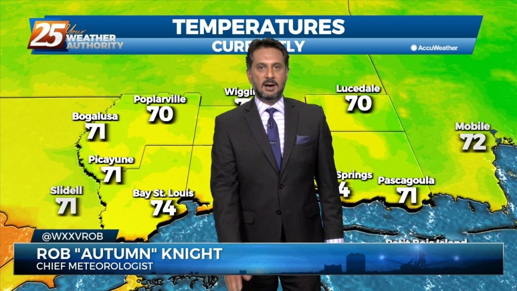
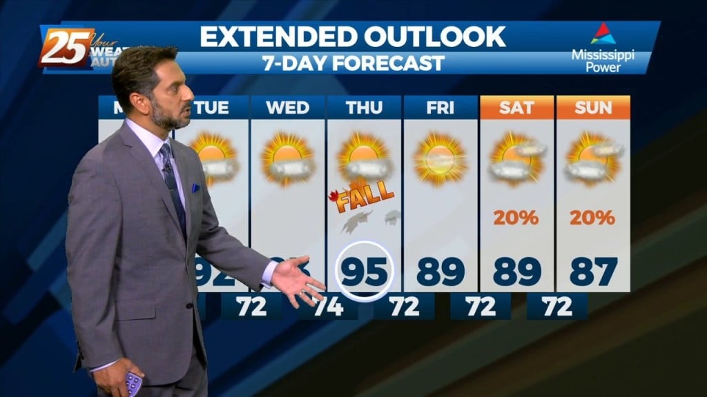
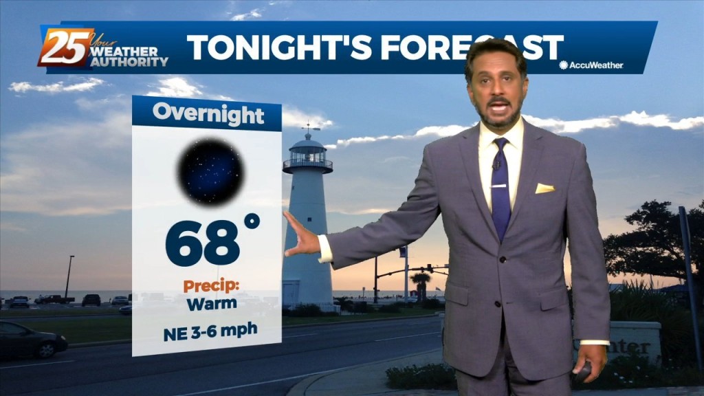
9/22 - The Chief's "Final Day of Summer" Thursday Morning Forecast
High pressure has actually drifted a little further west than expected, and is now centered over west Texas northward into the Dakotas. This pattern will…
High pressure has actually drifted a little further west than expected, and is now centered over west Texas northward into the Dakotas. This pattern will…
For this first couple days of this forecast period, the upper level high pressure will dominate the forecast. After expanding across the southern US early in the…

High pressure has weakened a bit over the last 24 hours with the flow becoming more zonal across the middle of the country. Shortwaves were noted along…
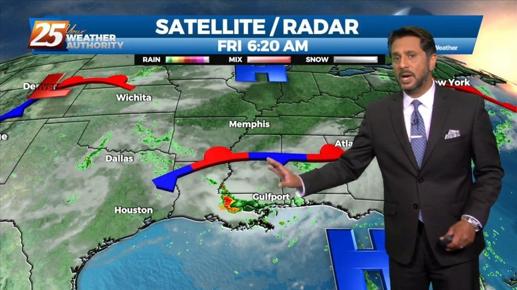
High pressure at the surface covers roughly the eastern half of the country, with low pressure and an associated front from the Dakotas into Colorado. The…
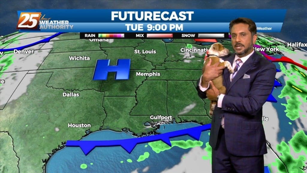
Here at News 25 we love our fur-babies...but Rob Knight goes beyond that. Here is the FURcast with Rob & Freckles. WE believe Freckles did it better!
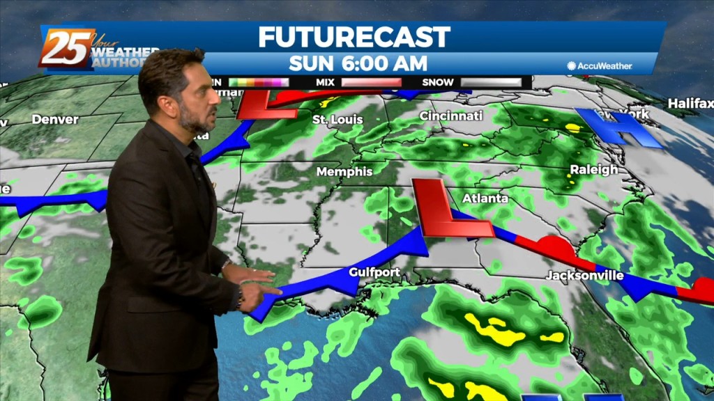
The same closed mid to upper-level low pressure remains parked over our area, centered generally over SE LA. The same corridor of deeper moisture continues along progressive…
Through the end of the week, an upper level low is expected to influence the area, enhancing rain chances for the region. There are still some…
The area is still under the influence of upper level weakness which is slowly moving east while further west has a large area of high pressure with…
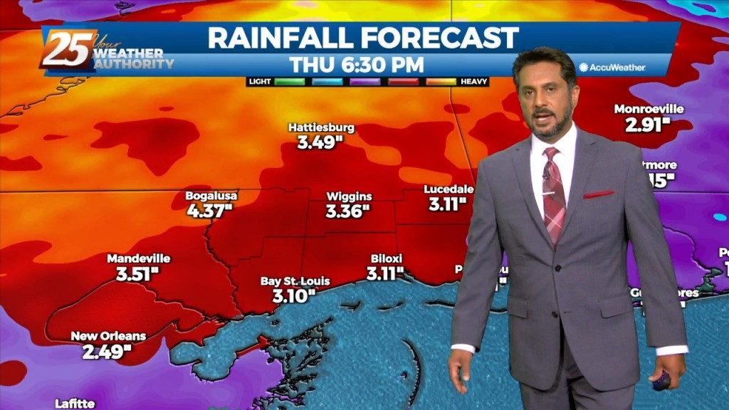
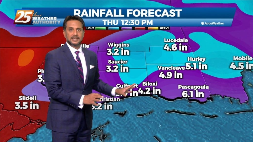
Heavy rainfall wording will remain with us as rates up to 4"/hr will be possible but most of this activity will be moving, so without lingering over an area or training, flooding will be less of an issue. But what could…
A broad upper disturbance across the eastern half of the country doesn’t really go anywhere over the next several days. As minor disturbances move through the…

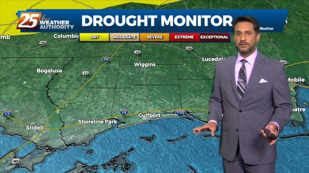
Hot and dry again on today for most of the day. No real distinct changes in the overall profile of the atmosphere. This subsiding dry layer has…
There is little change in thinking from the previous forecast concerning the overall trend of gradually increasing moisture, lift, and rain chances through Wednesday. The overall…
A weakness/subtle mid-level inverted trough over the northern Gulf continues a slow retrograding motion towards the WSW along the outer periphery of a mid-level high pressure…

Over the short term period a wetter period will begin today as general weakness in the overall patter to the north of Hattiesburg slowly moves into…
Today won’t be very different from the last several but there are some minor changes on the way. We should see a gradual transition of dry…

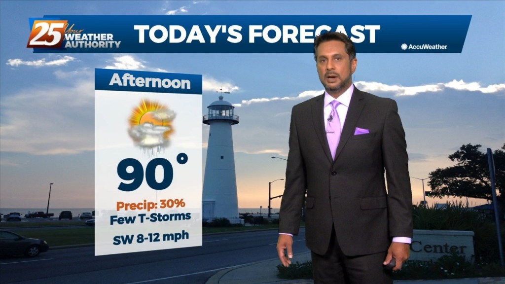
Today through Friday, the current pattern continues with the upper level high pressure and daily showers and thunderstorms in the afternoon. Very moist air along with erratic…
The broad upper level ridge stretching across the CONUS is the main pattern the area will be in for the short term (and majority of the long…
The area will continue to be dominated by the mid-level high pressure with the more difficult part of the forecast today is coverage of storms. High pressure…
Today will be the most active day over the next 3 days. Today we will be between two areas of high pressure that will try to merge…
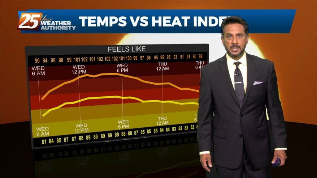
The focus early in the forecast will be the topic of heat. Heat Advisories were needed yesterday as compressional heating gradually increased, especially over the western tier.…
A broad upper level high pressure centered near the 4-Corners region extends from Mexico to Canada and CA to around MS. It will generally be…

An upper level high pressure system centered near the 4-Corners region extends to the east coast north of Florida. This eastern portion of the ridge is rapidly eroding…
High pressure will dominate the upper level pattern today through Saturday morning. Southerly surface winds will help to advect moisture and warm air into the environment.…
At the surface, high pressure is centered pretty much over our area as the disturbance that brought the heavy rainfall to portions of the area yesterday, continues…