2/22 - The Chief's "Near Record High Temperatures" Ash Wednesday Afternoon Forecast
Today our area will reside between a strong upper level high pressure over the western Caribbean and southwest Atlantic and a strong upper level…
Today our area will reside between a strong upper level high pressure over the western Caribbean and southwest Atlantic and a strong upper level…
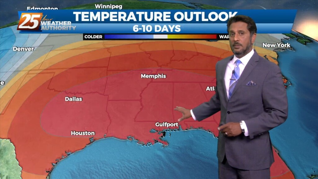
Today through Sunday a broad upper level high pressure will be centered near the 4-corners region extends from Mexico to Canada and CA to around MS.…
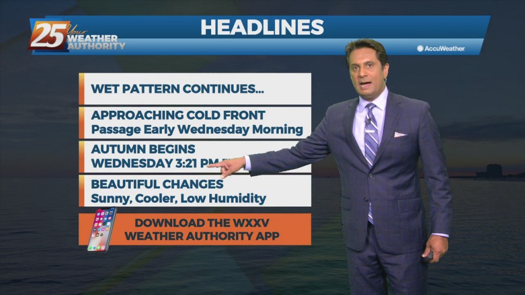
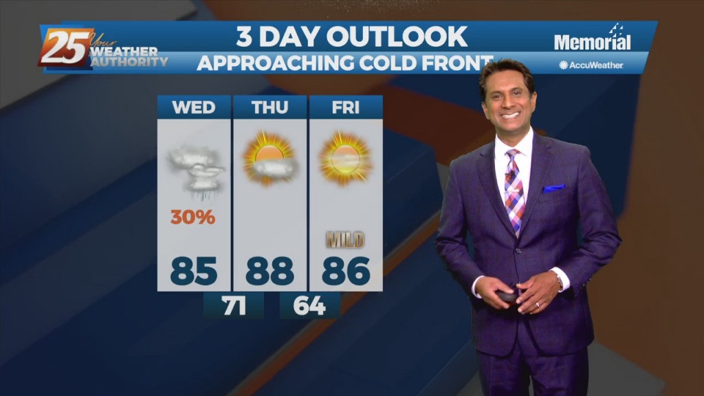
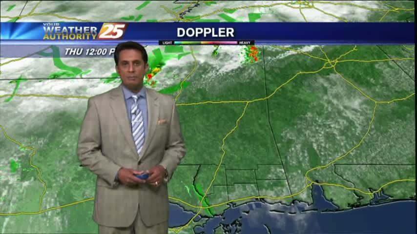
A disturbance with an associated cold front are expected to move across the area Tuesday night into Wednesday morning. Models indicate moisture flow decreasing slightly today/Tuesday, but still sufficient for at least scattered showers/t-storms. Scattered convection is also possible just…
As a tropical wave south moves towards the Florida Big Bend area, expect isolated t-storms through tonight with any heavy rain rather localized and not worthy of a large scale Flash Flood Watch. Activity will wind down this evening as…
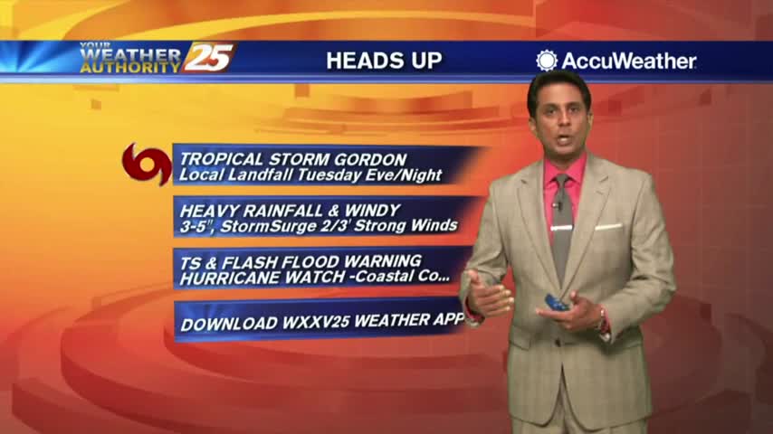
Showers and t-storms continue to move in and develop as we keep a watch on Tropical Storm Gordon...
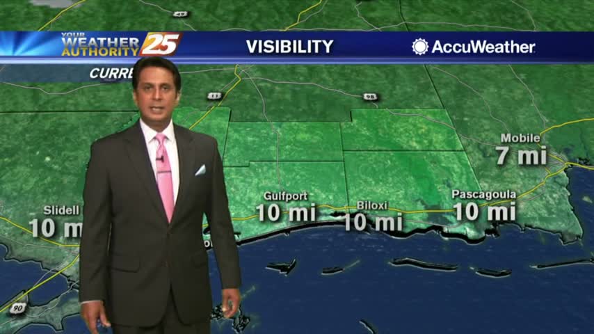
Another humid start to the day with isolated showers south moving north into the coastal counties...
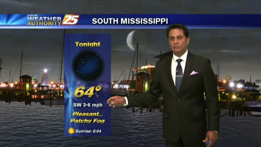
A mild start to the day as areas of light patchy fog is beginning to lift...
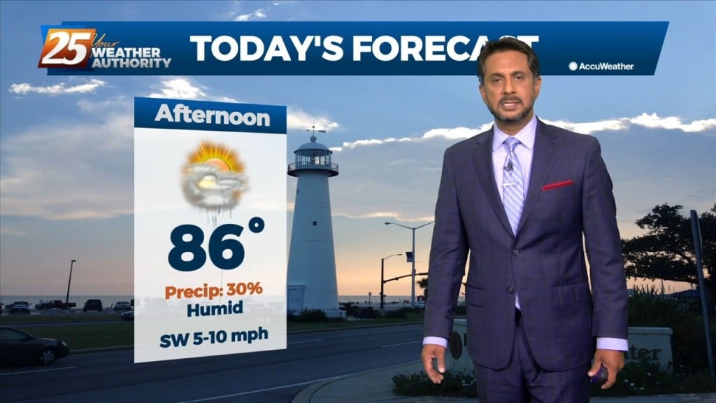
After a HUMID start to the day with areas of very light fog, the WARM/HUMID and now BREEZY conditions continues...
After a humid start to the day, temperatures will continue to warm into the upper 80s/90 degrees this afternoon...
The stationary front from the south has moved into the area as a warm front with widespread rain through the region...