9/19 - Rob's "Midday News" Afternoon Forecast
Another hot day as the humidity has brought HIGH HEAT INDICES to the area...

Another hot day as the humidity has brought HIGH HEAT INDICES to the area...

After another beautiful start, rain-free conditions continue with only a few mid-afternoon t-storms ahead....

Activity tapered-of before midnight but a few showers are already moving in from the south...

A humid start to the day with a few showers in the area and moving in from the GOM...

A warm/humid and rain-free start to the day, but HEAVY RAIN is on-tap this afternoon...

Another humid start to the day with very light rain moving in from the Gulf of Mexico...

Temperatures warming into the 90s with isolated showers/t-storms developing...

Overnight clouds have cleared to the SE, with warm & humid conditions to start off the day...

Similar to yesterday morning, thin mid/upper level clouds moving in from the NW are thinning...

It's a warm start to the day with mid/upper level clouds moving in from the NW and thinning...

After a clear start, the clouds have developed with showers & t-storms becoming more prevalent...

Jackson county started off the day with isolated showers, which continues and beginning to spread...

A slightly cooler morning along the gulf coast with a few showers approaching from the south...
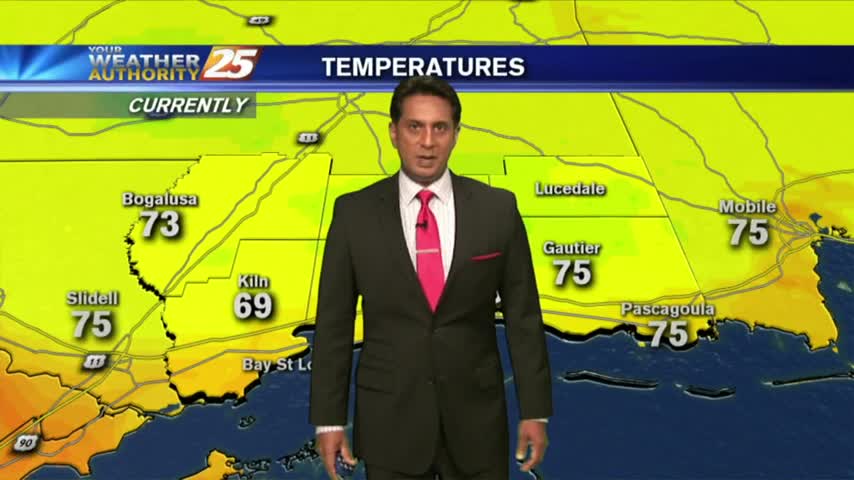
Cloud coverage has been on the increase the past few hours with light showers in the vicinity...
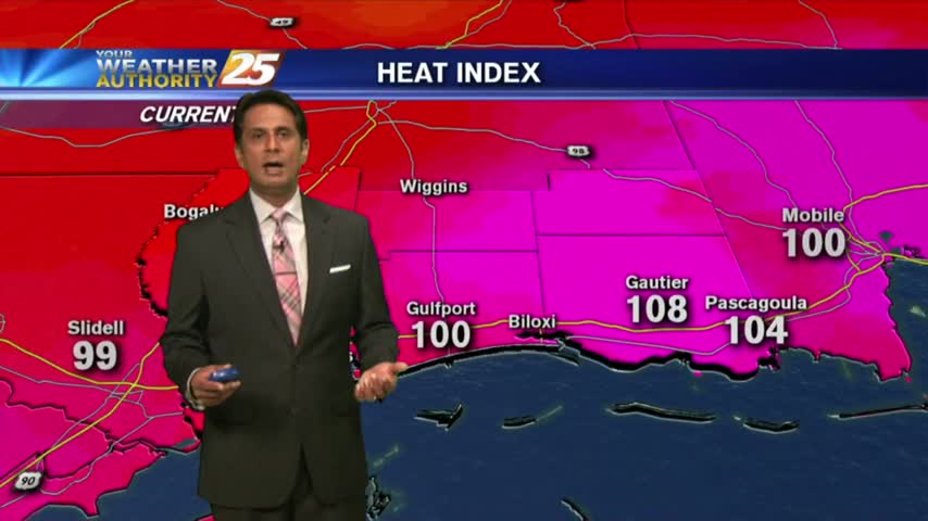
The drier air mass in departing as the humid flow from the GOM is moving in, making the HEAT INDEX a factor...
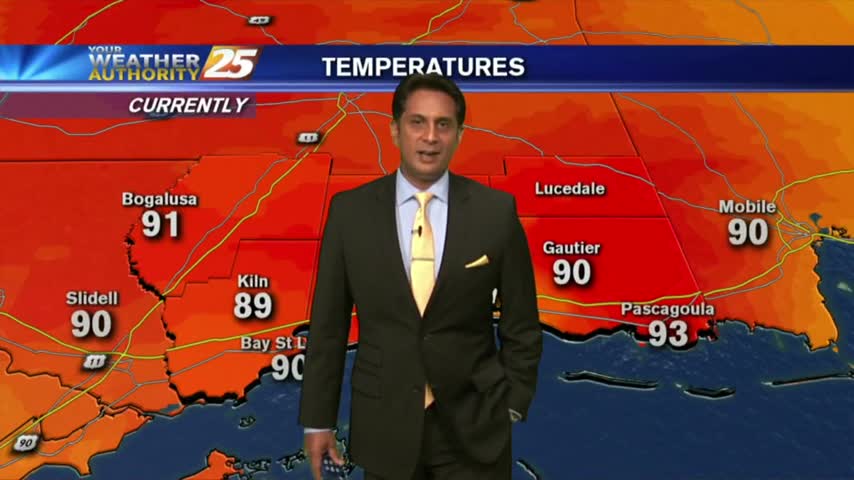
A good bit of clouds moving south into the area earlier this morning has thinned considerable...as the temps skyrocket!
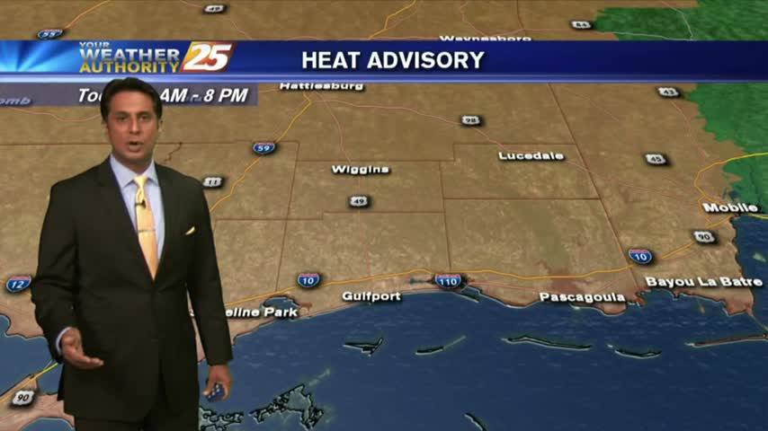
A warm start to the day but it is rain-free. Clouds moving south into the area will thin through midday...

The extensive cloud cover age continues as temps are slow to warm. Showers & t-storms will develop later this afternoon...

One final round of heavy rain/flash flooding before the pattern begins to change...

After minimal activity around sunrise, showers & t-storms continue to develop along with the threat for HEAVY RAIN this afternoon...

After a clear start to the day, daytime heating and moisture has flared-up cloud coverage along the coastal counties...

A beautiful start to the day under clear skies, with warm temperatures in the 70s...

Minimal activity over the sound this morning will continue to push towards the west...

After a clear start to the day, clouds continue to develop with daytime heating as the mercury climbs into the upper 80s...