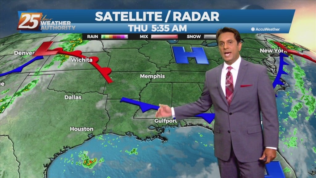
9/2 – Rob Knight’s “Cold Frontal Passage” Thursday Morning Forecast
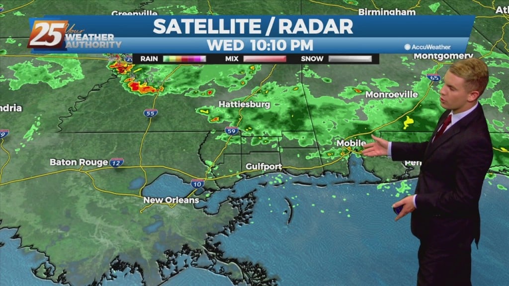
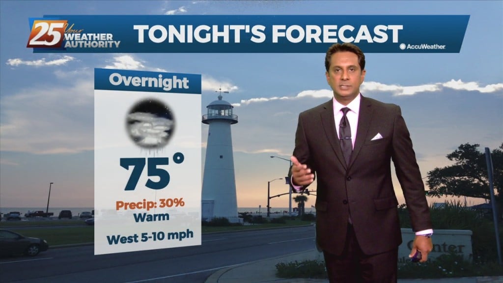
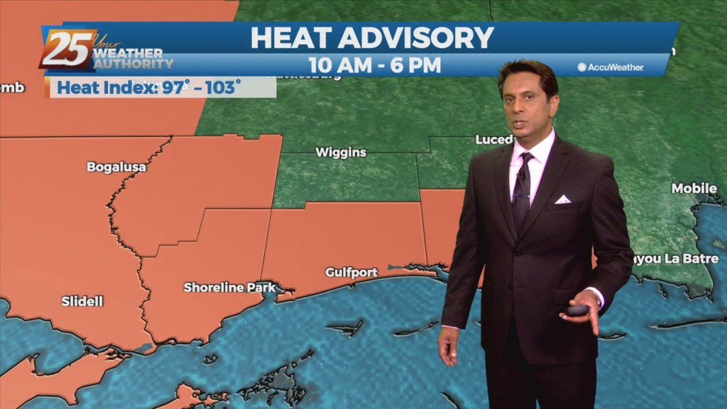
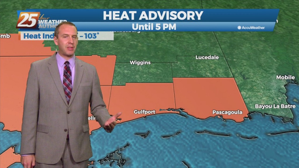
A mid-level disturbance will dip southward over the frontal zone and this will start an initial round of scattered showers and thunderstorms in coastal MS counties through the late morning hours. The frontal zone will shift further southwest into southern Ms through the day, bringing scattered to numerous thunderstorms into the I-10 corridor this afternoon. Activity will persist into the evening…