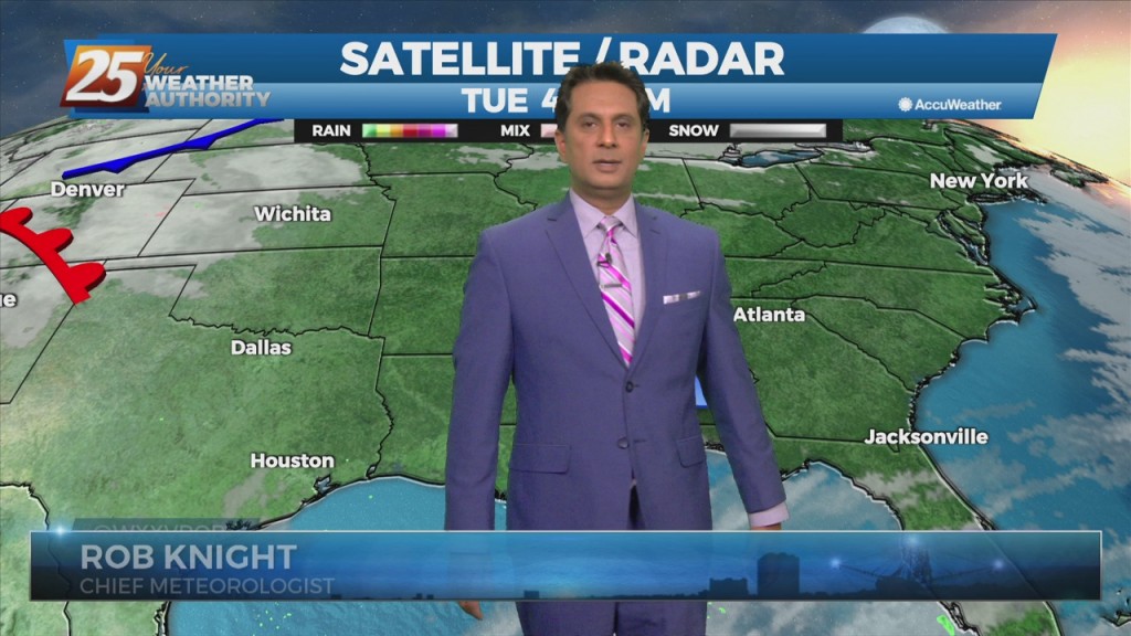
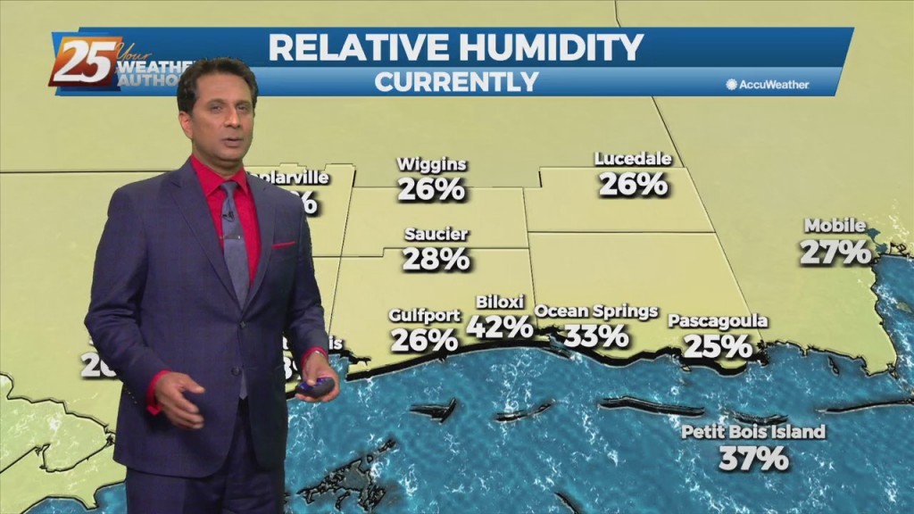
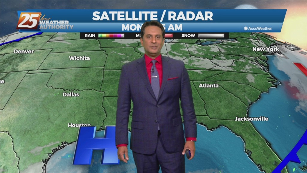
Homes in Gulfport suffer damage from possible tornado

A possible tornado touched down in Gulfport this evening as one of Hurricane Ida’s powerful rain bands moved onshore. Local emergency managers reported seeing a funnel cloud and a tornado warning was in effect for more than 30 minutes. Near the Coast, trees were uprooted and several large branches were broken off in the strong winds. Siding and roofing to…

8/29 – Rob Knight’s Sunday Evening (7 PM) HURRICANE IDA Update

The NWS Doppler radar imagery and data from an Air Force Reserve Hurricane Hunter aircraft showed that Ida made landfall around 1655 UTC along the southeastern coast of Louisiana near Port Fourchon with estimated maximum winds of 130 kt and a minimum pressure around 930 mb. Since that time, Ida made a second  landfall southwest of Galliano, Louisiana, and with the…

Flooding issues in East Biloxi

We are getting more images of how the conditions are in East Biloxi. A car was seemingly abandoned sitting in water outside of the Palace Casino Resort. The City of Biloxi reports the lowest level of the Palace parking garage has taken on a bit of water, but casino facilities across the city are okay. Categories: Local News, News Tags:…

Road conditions on the Coast

Road conditions along Highway 90 and other roadways along the water in South Mississippi are continuing to see the impacts of storm surge and flooding. Click here for a list of road closures around the Coast. Categories: Local News, News Tags: Driving, Hurricane Ida, Road closures

8/29 – Brantly’s Sunday 4 PM “Hurricane Ida” Update

The NWS Doppler radar imagery and data from an Air Force Reserve Hurricane Hunter aircraft showed that Ida made landfall around 1655 UTC along the southeastern coast of Louisiana near Port Fourchon with estimated maximum winds of 130 kt and a minimum pressure around 930 mb. Since that time, Ida made a second  landfall southwest of Galliano, Louisiana, and with the…

8/29 – Brantly’s Mid-Afternoon Hurricane Ida Update

Hurricane Ida continues to move through SE Louisiana, moving towards the NW. South Mississippi will continue to see coastal flooding, gusting winds and the threat for tornadic activity as feeder bands move through the area. Winds will get worse late afternoon into this evening as Ida moves just east of Baton Rouge Louisiana. Winds will switch to the south as…

Power outages around the Gulf Coast

Mississippi Power and Coast Electric are reporting power outages across the Gulf Coast. As of 4:45, Mississippi Power is reporting 105 outages with 2,347 customers affected and Coast Electric is reporting 18,275 customers affected. Categories: Local News, News Tags: coast electric, Hurricane Ida, mississippi power, power outages

8/29 – Rob Knight’s Sunday Morning 10 AM Hurricane Ida Update

​Ida’s rapid strengthening appears to have leveled off within the past hour or so.  NOAA and Air Force Reserve Hurricane Hunter aircraft that have been in the storm this morning have reported peak flight-level winds of 146 to 148 kt between 8000 and 10000 ft. Within the past hour or so, there is evidence in radar imagery of a secondary eyewall, and…

Hurricane Ida impacts around the Gulf Coast

Multiple houses in Gulfport near 27th street are damaged from a possible tornado. Gusts really picking up in Hancock County.   Views higher up from the Biloxi Bay Bridge. Hwy 90 in Pass Christian near Espy Ave. S Beach Blvd in Hancock Co completely flooded Roadways over by Mikey’s on the Bayou in Ocean Springs. Storm surge flooding from Hurricane…

8/29 – Rob Knight’s Sunday Morning HURRICANE IDA Update

Hurricane Ida is forecast to bring CATASTROPHIC and life-threatening storm surge to a large portion of SELA and these extreme surge values will be found in coastal Mississippi as well. Hurricane conditions will occur across all of SE Louisiana and possibly even portions of southern MS. Extremely life-threatening inundation of 8 to 12ft will be possible from Morgan City to…

08/27 – Brantly’s Friday Night Hurricane Ida Update

 Radar data from Cuba indicate that the inner core of Ida has remained intact after its passage over western Cuba with a well-defined eye and relatively symmetric eyewall evident.  In addition, satellite images show deep storm activity increasing in both intensity and coverage, a sign that Ida is strengthening. The hurricane is moving northwestward at about 15 mph.  A subtropical…