2/17 - Rob's "Presidents' Day" Weekend Forecast
Wind flow switched to the south yesterday afternoon for a few hours, increasing the humidity allowing for slightly warmer overnight temps...
Wind flow switched to the south yesterday afternoon for a few hours, increasing the humidity allowing for slightly warmer overnight temps...
Last night I promised a beautifully clear & cool day, and the weather did not disappoint. We'll start seeing warming and increasing clouds by tomorrow afternoon; full details within.
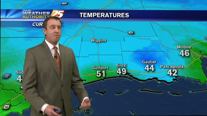
Clear skies and calm winds have lead to another chilly evening, but we'll begin our warming trend in the early morning hours, which will continue into the beginning of next week. Watch the forecast for details.

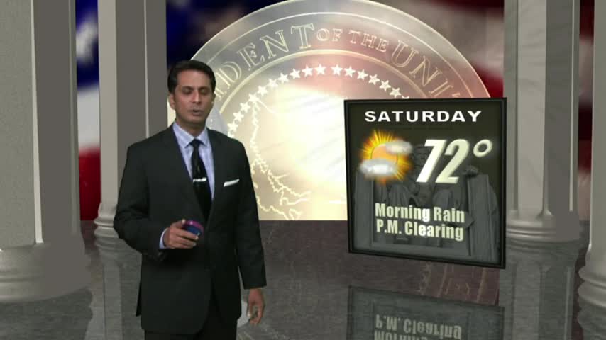
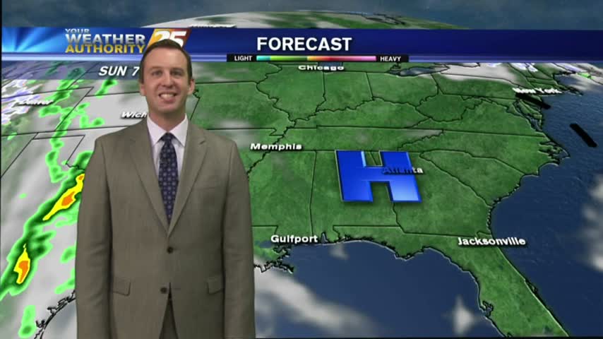
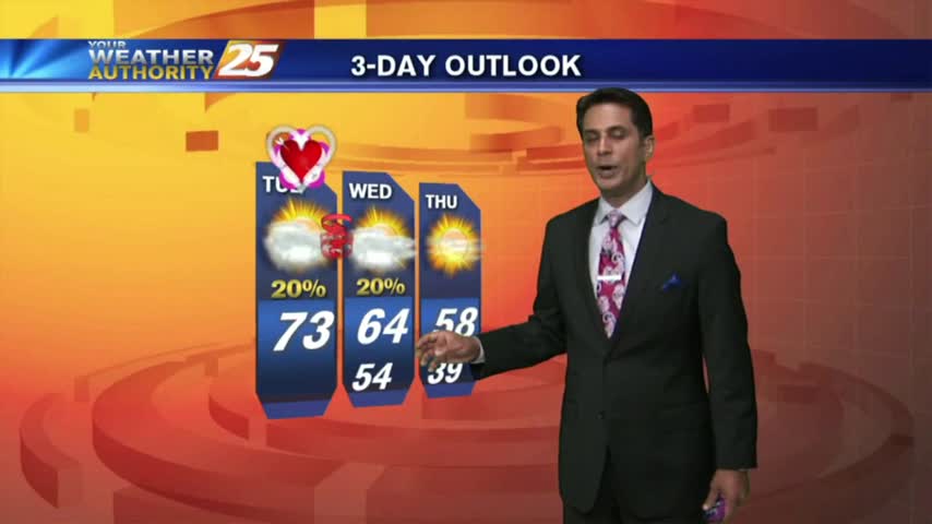
After a chilly start to the day, high-pressure moving closer to the area will begin the warming trend heading into the weekend...
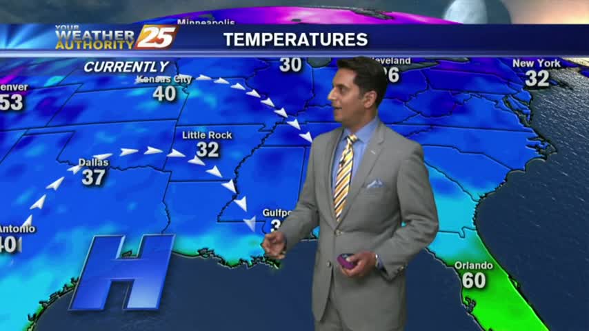
After the clouds cleared yesterday afternoon...clear skies and light winds overnight brought CHILLY temps to the area...
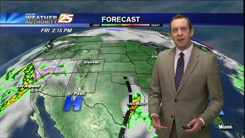
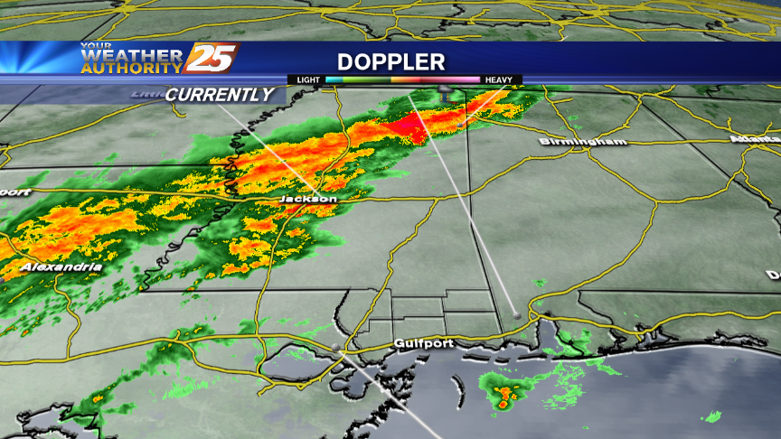
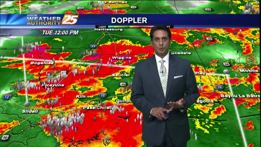
Rain and storms (some severe) will affect the Coast tonight.
Mostly clear skies overnight with increasing humidity has developed areas of PATCHY fog this morning...
Last night's very subtle cold front helped make this afternoon beautiful, but another front is forming and storms are on the horizon. Watch today's forecast for details.
We're starting to see some clouds move in after our clear and warm afternoon, but clear and dry conditions return quickly. Watch the forecast for details.
There's an offhand risk off severe storms coming up Tuesday night for the Coast.
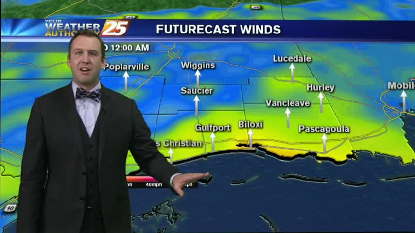
In the wake of a weak cold frontal passage last night, BREEZY conditions are beginning to move into the area...
A few showers are possible overnight as a weak cold front passes into the area.
After a clear and cooler afternoon, we're heading for a warm and more humid evening. Watch the forecast for details.
Clear skies carry us into the afternoon with excellent weather forecast for the rest of the day.
Windy conditions tapered-off yesterday evening with light winds and clear skies overnight. After a CHILLY start, today will bring changes...
Today cleared up nicely after last night's cold front, and tomorrow will be even better. That's were things start to change though, so watch the forecast for details.
Much cooler and breezy weather carries us into the afternoon, with a great forecast heading into the weekend.
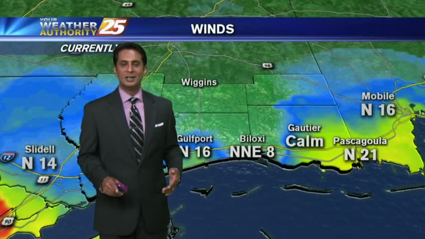
In the wake of a weak cold frontal passage last night, cooler/drier air moving in has clear and cool conditions to start off the day...
We've had warm and humid weather over the last several days, but we'll begin seeing changes as early as tonight. Watch the forecast for details.
Rain showers will still be possible through early tonight, but clearing conditions and excellent weather are in store for the Coast for the last half of the week.
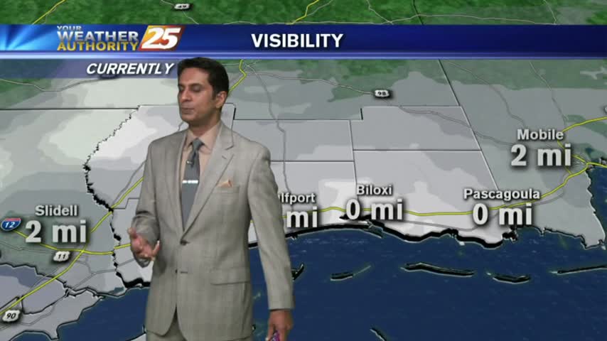
After HEAVY RAINFALL yesterday afternoon...very humid air in the area has DENSE FOG affect the southern 6.
Areas of Dense Fog will develop tonight along the Coast, and not just south of Interstate 10.
After quite a nasty afternoon, weatherwise, things have calmed down and we expect clearing conditions by tomorrow.
After a warm/humid start...showers and t-storms developed with STRONG/SEVERE storms moving across the viewing area...