03/19 Ryan's "Last Night of Winter" Sunday Night Forecast
Tonight is the last night of Winter but don't expect any "winter-like" conditions as warm & humid weather moves in for the long haul. Watch the full forecast for details.
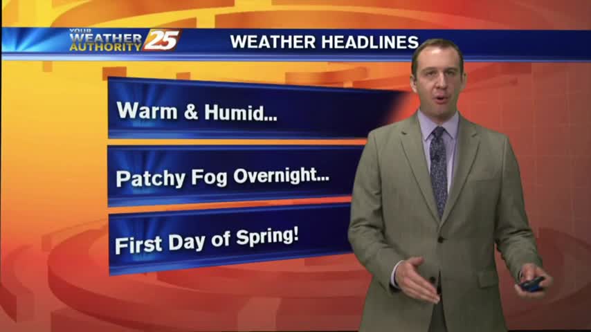
Tonight is the last night of Winter but don't expect any "winter-like" conditions as warm & humid weather moves in for the long haul. Watch the full forecast for details.
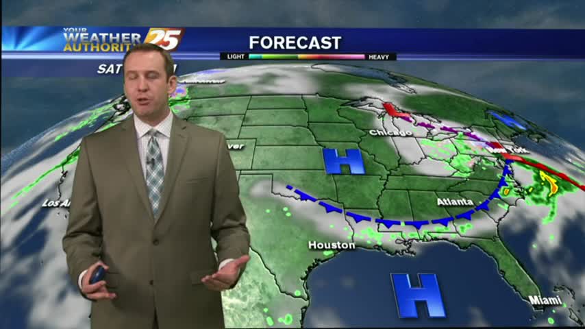
Two nights ago, some counties were under a freeze warning with coastal temps dropping into the 30s. Today, we're closer to the 60s tonight, with even warmer temps ahead. Watch the full forecast for the details.
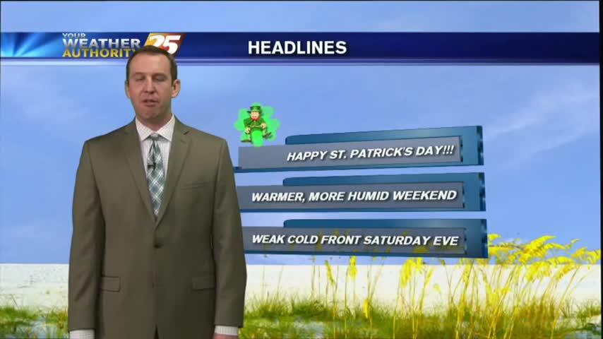
I hope everyone enjoyed their gorgeous St. Paddy's Day weather! Expect the beautiful days to keep coming with almost no chances of rain. Watch the full forecast for more details.
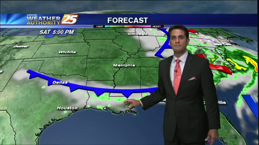
After a mostly cloudy start, skies have cleared with sunny skies on-tap though this afternoon...

As the return-flow has begun, a south wind has MUCH WARMER temps along the Gulf Coast on this St. Patrick's Day morning...
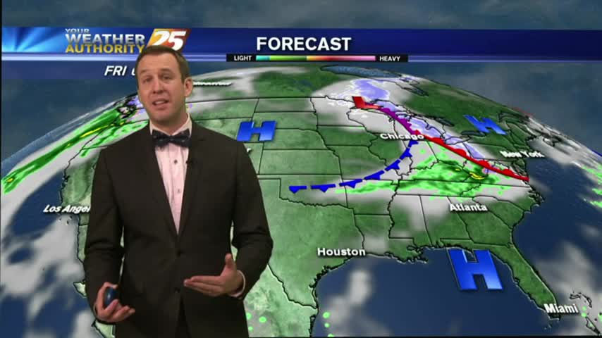
Tonight will be calm and chilly, but still about 10 degrees warmer than last night. Expect this warming trend to continue through the weekend and into the start of Spring. Details inside.
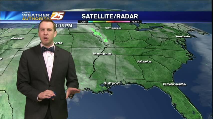
This afternoon was slightly warmer than yesterday's, and tonight's low increases as well. Watch the forecast for the details and be sure to check back later for an update.
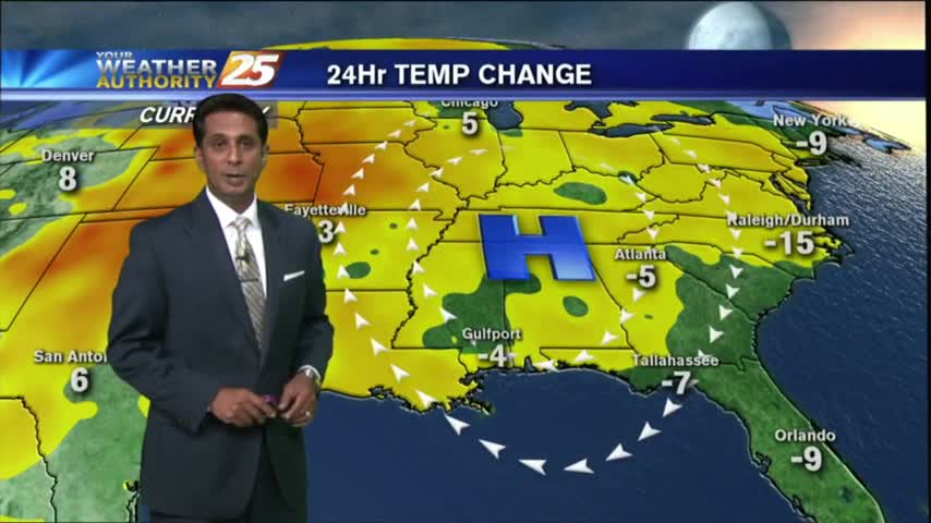
After a COLD start with several locations at the FREEZING POINT, the return flow has begun with the warm up starting this afternoon...
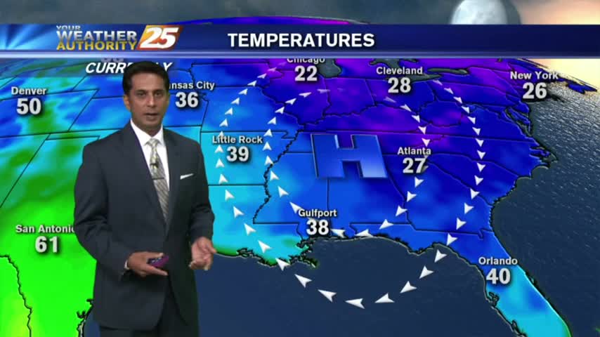
Clear skies and a north wind overnight has brought overnight low temperatures in the 30s...a few locations at freezing...
We'll begin seeing warmer temperatures after one last frigid night in the 30s tonight, though skies will remain sunny and clear. Click the forecast link for more details.
I promised a beautiful day last night and the weather delivered! Expect one last night in the 30s for a while, and a slightly warmer afternoon tomorrow. For more than that you'll have to watch the forecast.
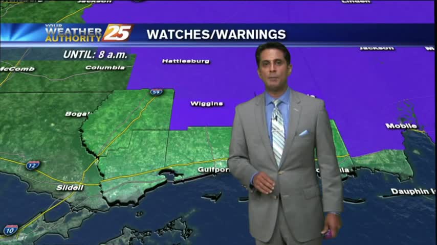
Clear skies last night had COLD temps earlier this morning with mid-levels moving across the southern 6, which have cleared the area...
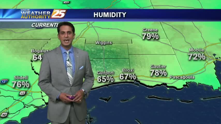
Clear skies and a north wind overnight has VERY COLD temps with morning lows in the upper 30s to low 40s...
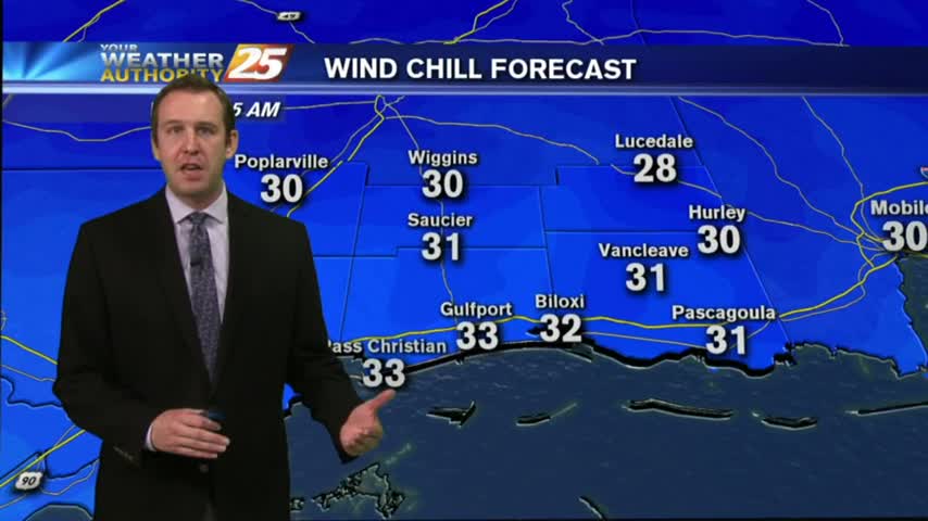
It was clear and sunny through much of the day, but now we're in for some frigid nights. Click the forecast link for details.
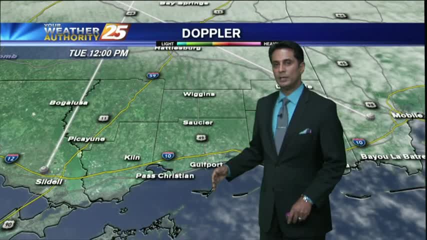
After a chilly and cloudy start...colder/drier air continues to move into the region eroding the cloud coverage...
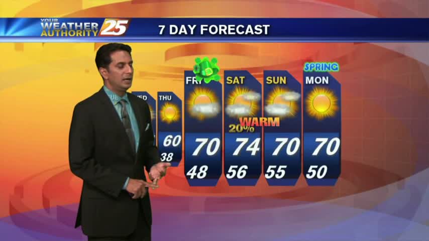
In the wake of last night's cold front, it's a CHILLY start with partly cloudy skies through the area...
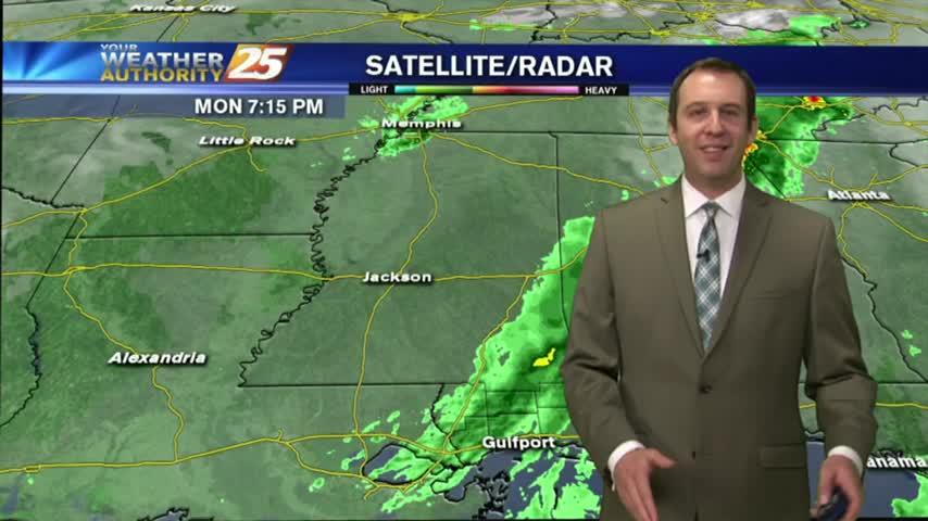
The rain finished in South MS around 9 PM, so the cooling and clearing has begun! Watch the forecast for more information.
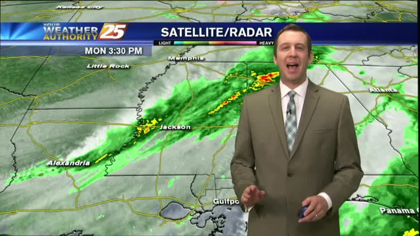
A few late morning showers passed through earlier, and we're just beginning to see the second round of rain beginning as a cold front closes in. Drastically different weather this week than the last few, so be sure to click the forecast link for more information.
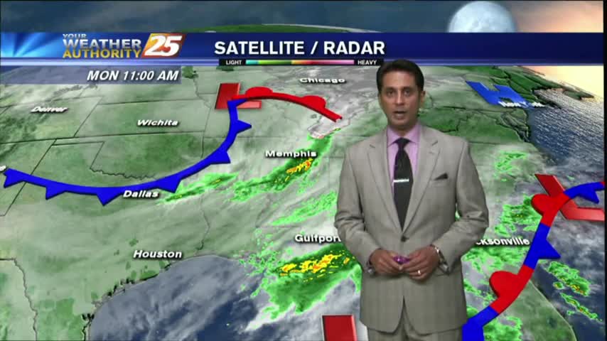
Spotty rain from an area of low-pressure in the central Gulf continues to move north into the southern 6...
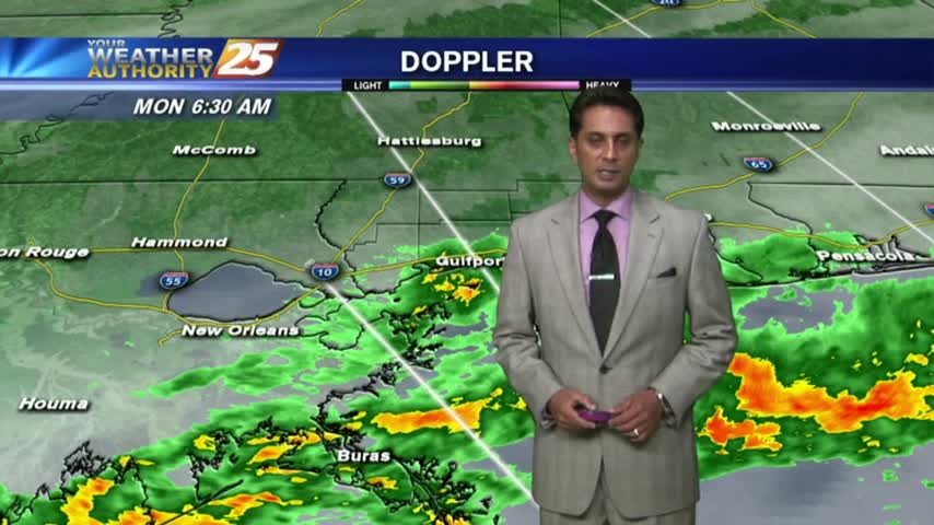
After clearing late yesterday...the clouds have moved back in with rain moving in from the sound...
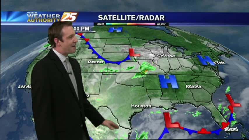
After a weekend that brought some light rain, we saw a bit of clearing earlier today. The clouds are moving back for one last rainy day before a cooler & drier week, so be sure to check out the forecast for details.
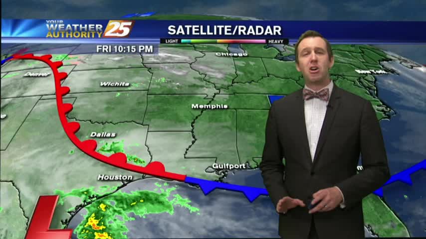
A few sprinkles moved through earlier today ahead of a very weak boundary, but more rain will move through for the weekend. Details inside.
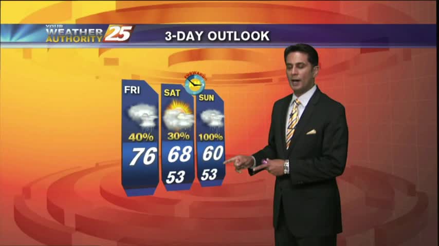
The cold front which moved into the area earlier this morning with showers/t-storms...now beginning to move over the sound and dissipate...
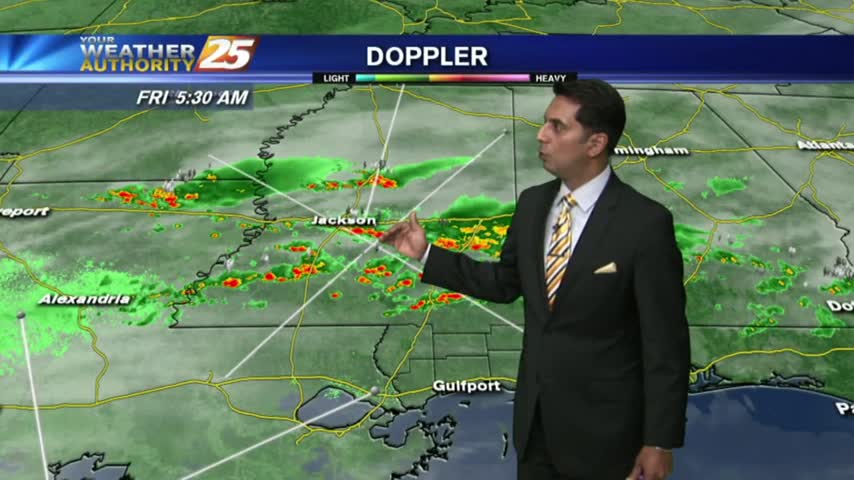
Areas of PATCHY DENSE FOG this morning as a cold front in Central Mississippi moves south...