6/15 - Payton's Thursday Afternoon Forecast
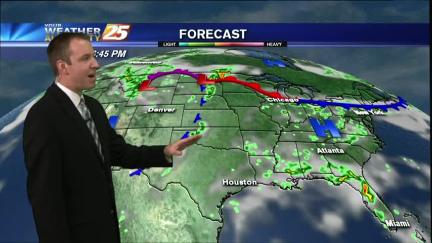
The tropical airmass that has been sitting over the area for the past week remains in place today through tomorrow, which will continue the rain chances for the afternoon hours.
The tropical airmass that has been sitting over the area for the past week remains in place today through tomorrow, which will continue the rain chances for the afternoon hours.
The tropical airmass that has been sitting over the area for the past week remains in place today through tomorrow, which will continue the rain chances for the morning and afternoon hours.
Expect more of the same similar weather tonight, but we do begin seeing relatively drier weather as we head into next week. Watch the full forecast for details.
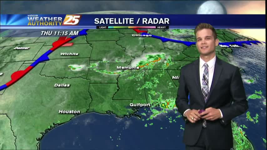
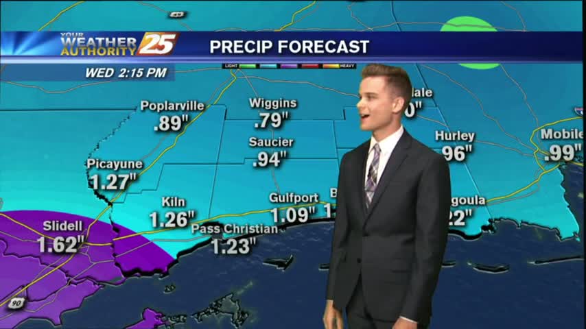
Another afternoon with popup showers and thunderstorms. The strongest storms will have lightning, heavy downpours and gusty winds.
Showers and thunderstorms continue in the forecast as the tropical airmass stays in the area.
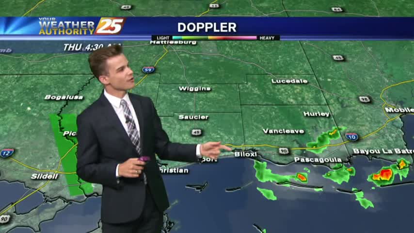
We're in for another drier evening after a rainy afternoon, but tonight's calm winds will likely lead to patchy fog. Watch the full forecast for details.
Once again, another warm, muggy and wet day as a tropical airmass stays over the area.
Once again, another warm, muggy and wet day as a tropical airmass stays over the area.
It was a wet day on the Mississippi Gulf Coast this afternoon, as showers began just before noon and continued throughout the day. Tonight, we're seeing those showers weakening and eventually dissipating, but we'll remain warm & humid with a…
After a brief period of sunny skies and low humidity, a very TROPICAL AIR MASS is back in the region with showers/t-storms moving in

After a beautiful weekend with sunny skies and drier air, the tropical air mass is moving back into the region...
The dry and clear weather pattern we saw for the end of last week has come to an end.
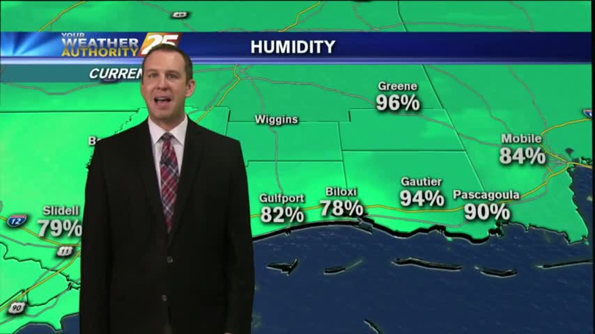
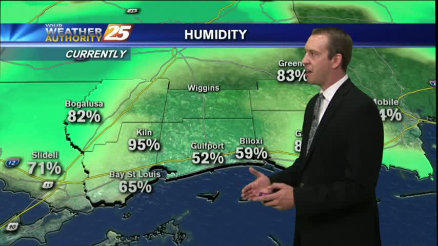
Southerly winds brought in slightly more moisture than we've seen over the last few days, so the humidity will continue to increase through the weekend. Full details inside.
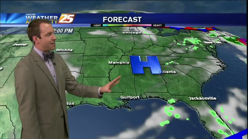
The beautiful weather will continue into the weekend as high-pressure to our north continues to shape our forecast...
Conditions are still mild, clear, and calm in South Mississippi tonight, and little will change until we begin next week. Click the forecast link for more details.
After 34 days with either clouds and/or rain in the area, high-pressure to the north will bring beautiful changes to the pattern.
After almost two weeks of rain, we finally saw some clear & sunny skies today. The sun sticks around for a while, but not forever. Watch the forecast for details.
A cold front and low pressure will continue to move away from the area allowing for drying and clearing this evening. Watch the full forecast for details.

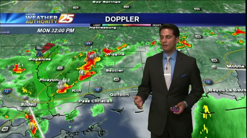
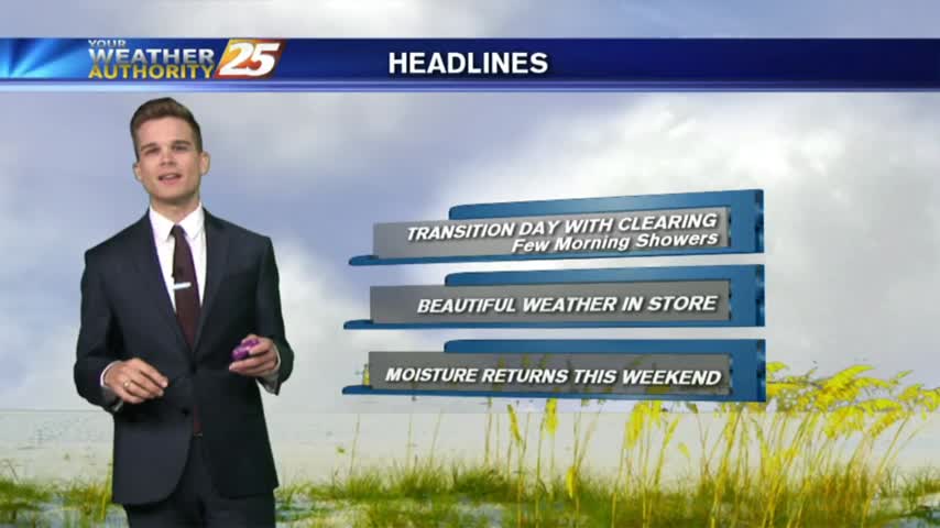
A few showers in the area this morning, but with a cold front passage last night and low pressure just off to our east, today will be a day of transition with clearing and drying.
It's rained every day for well over the last week, but should be finished after tonight's showers. Watch the full forecast for details.

Rain chances continue this afternoon and evening as low pressure moves overhead, but a cold front pushes through late tonight drying out the area for the end of the work week.
Rain is likely this afternoon and evening as low pressure moves overhead, but a cold front pushes through tonight drying out the area for the rest of the week.
The rain continues to fall but will only last another day or so before drier air moves in. Watch the full forecast for details.
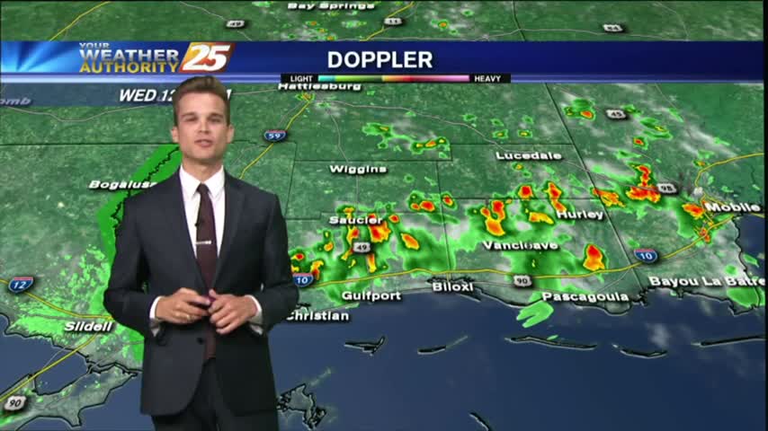
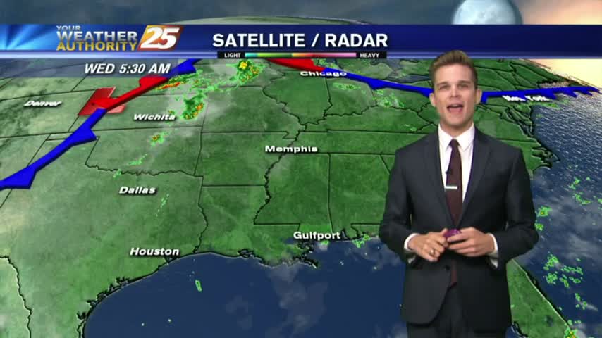
After a bit of a break earlier this morning, showers continue to move in and develop along the viewing area.