7/25 - Rob's "Getting Hotter" Midday News Forecast
After a clear start to the day with a north wind, a few low-levels clouds have developed as the winds begin to switch...
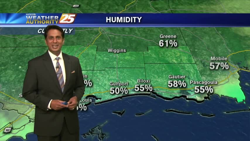
After a clear start to the day with a north wind, a few low-levels clouds have developed as the winds begin to switch...
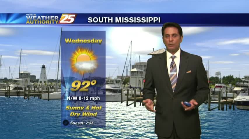
This morning we have another cold front approaching the region which will move the drier air out of the area...

We'll see more hot afternoons ahead, but tonight will be the coolest night in a while....
Less humidity, and it feels quite nice outside for summertime standards.
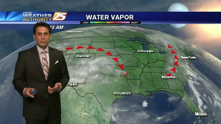
In the wake of yesterday's rare cold front, it's a clear and mild start t the day...

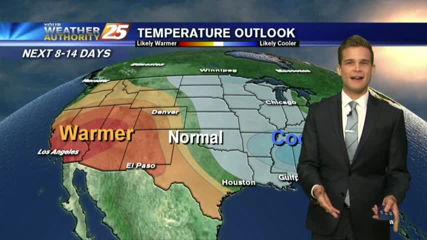
Expect several more hot and humid days this week, but it will be slightly cooler than last weekend and just as dry....

The sea breeze tried to produce showers and thunderstorms this afternoon, but only managed a few....

More heat and humidity, but not expecting as much rain.
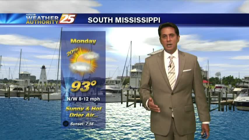
After a VERY HOT weekend, we have light showers from I-20 down to the coast...moving to the south.
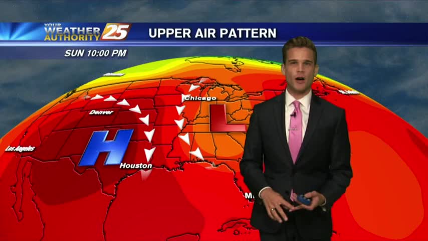
After a hot hot weekend...a little relief is on the way.

The rain has moved on, but the heat and humidity are here to stay....

The rain is gone, but the oppressively hot and humid conditions are here to stay for the weekend....
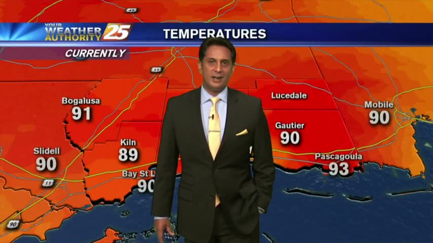
A good bit of clouds moving south into the area earlier this morning has thinned considerable...as the temps skyrocket!
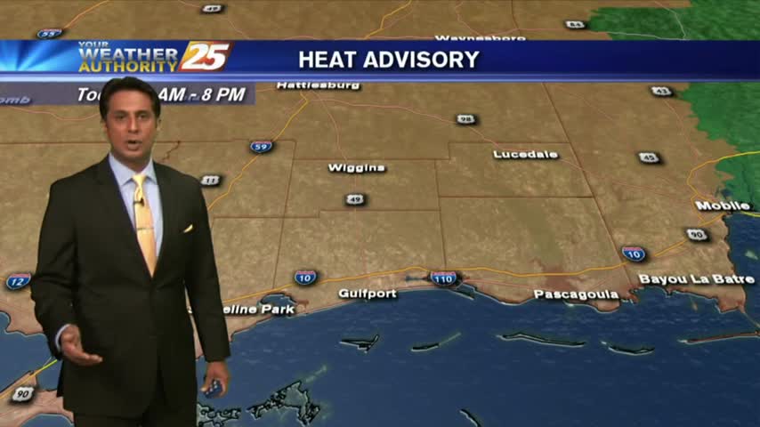
A warm start to the day but it is rain-free. Clouds moving south into the area will thin through midday...
We're finally done with the rain, so expect some much drier, but also incredibly hot and humid days ahead....

We still saw a good amount of showers and thunderstorms this afternoon, but we'll begin a much drier trend starting tomorrow....
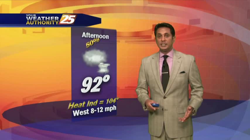
The extensive cloud cover age continues as temps are slow to warm. Showers & t-storms will develop later this afternoon...
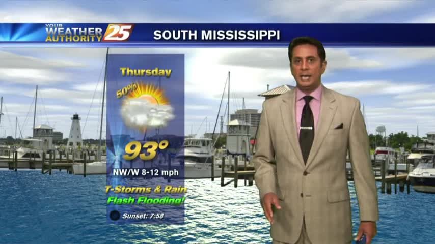
One final round of heavy rain/flash flooding before the pattern begins to change...

There will be one more day of rain before very hot and much drier conditions move in, so flash flooding remains an issue tomorrow....
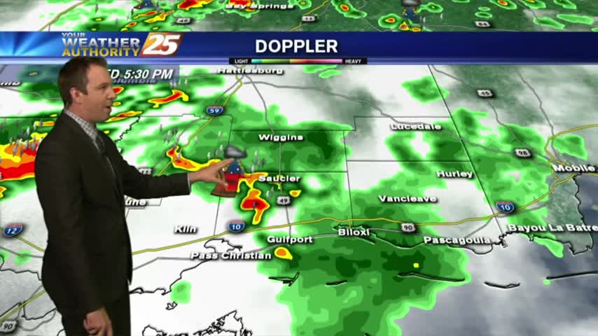
The rain returned as expected today, and it looks like we have one more rainy day before some drier and extremely hot conditions move in....
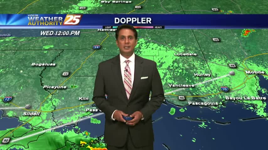
After minimal activity around sunrise, showers & t-storms continue to develop along with the threat for HEAVY RAIN this afternoon...
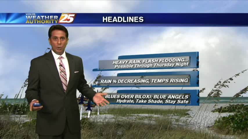
After another afternoon of TORRENTIAL rainfall, this morning is starting off with isolated light rain...
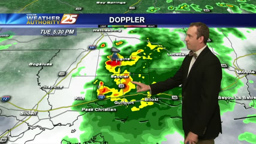
Localized flooding remains an issue as more slow-moving showers and thunderstorms crawl through the area, with more on the way....
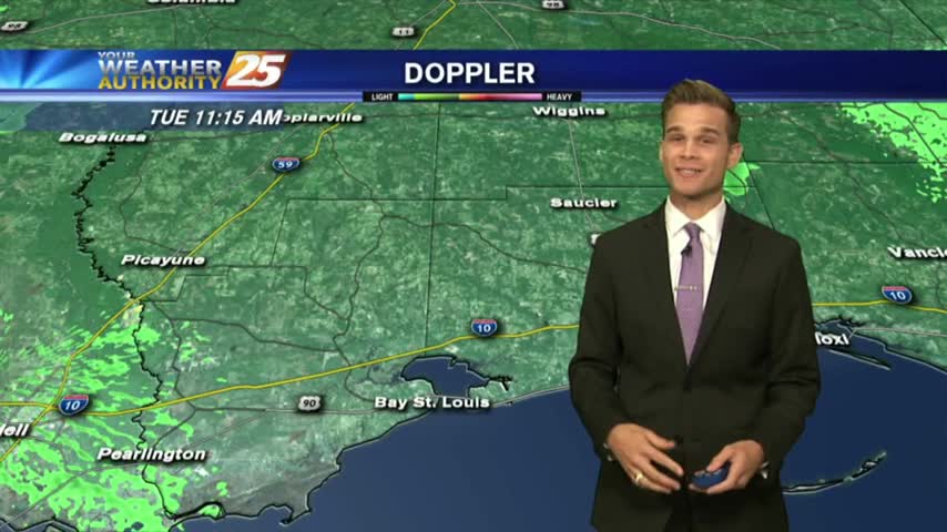
More heavy rain this afternoon, which could mean flash flooding.