01/17 Ryan's "Much Drier" Friday Evening Forecast
Still cloudy, but much drier than the last several days have been. Even drier days are ahead, but we'll see more rain first.
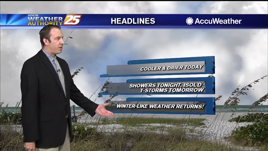
Still cloudy, but much drier than the last several days have been. Even drier days are ahead, but we'll see more rain first.
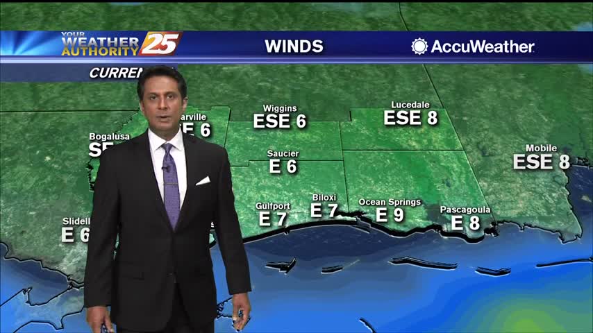
After a chilly start, cooler temperatures and breezy conditions are affecting the viewing area...

A cooler start this morning as breezy conditions and lower humidity has kept fog away...
Changes are finally moving into South MS, but they'll take some time to take hold.
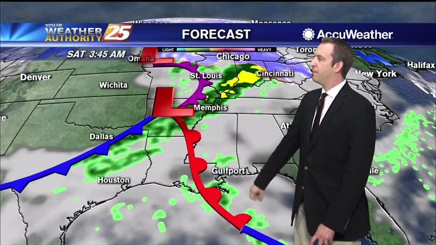
Our predictable pattern has finally changed, but you won't see much difference until next week.
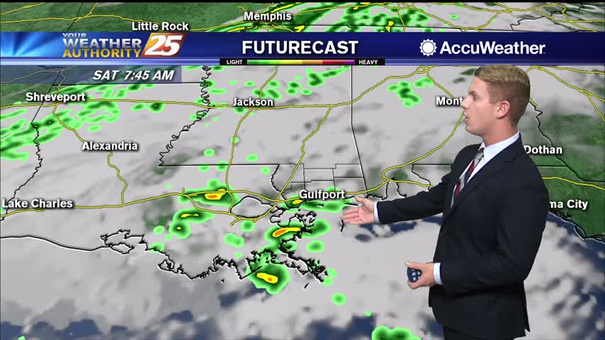
Patchy fog continues across the Gulf Coast this afternoon, especially right along the water. A few scattered showers are rolling through South Mississippi and light rain can be expected on and off through the rest of the day. Rain chances…
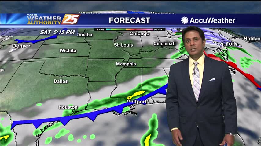
Widespread dense fog is once again affecting the area. A weak cold front to the north will bring subtle changes for a brief period. Expect cloudy skies with scattered rain through this evening as the front pushes to the south.…
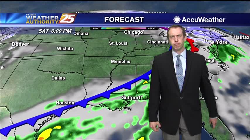
More warm and humid conditions are on the way, but we'll also finally see some clear and cooler days ahead as well.
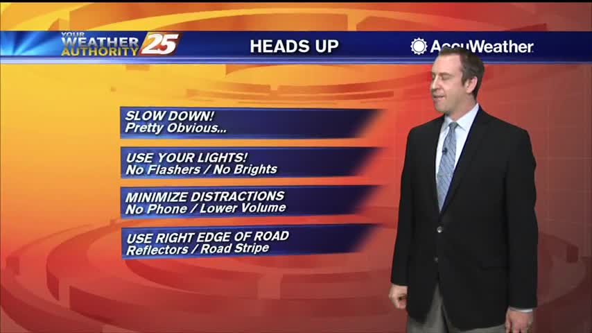
Another day, more dense fog in South MS but the pattern is finally starting to change.
The one variable that did change yesterday to keep fog out of the area during most of Tuesday evening was lift. The fog that formed lifted due to heating first, then as the area just to the north became a…
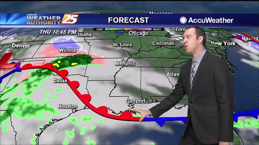
The fog keeps coming and isn't going far for the next few days....
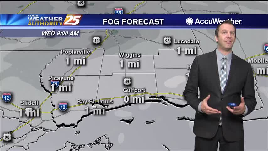
It's still foggy, warm, and muggy in South MS and that isn't going to change for a little while longer.
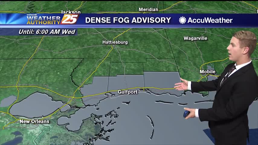
A Dense Fog Advisory has been extended until at least 6:00 a.m. Wednesday for coastal portions of South Mississippi, including Hancock, Harrison, and Jackson Counties. A Marine Dense Fog Advisory is also in effect for the Mississippi Sound and Mobile…
Fog will be a hard habit to break over the next several days with the very warm and humid air mass in place. It will take at least one variable to change before it will dissipate and the only thing…
Dense fog has already formed across South MS, and won't be far away for most of the week....
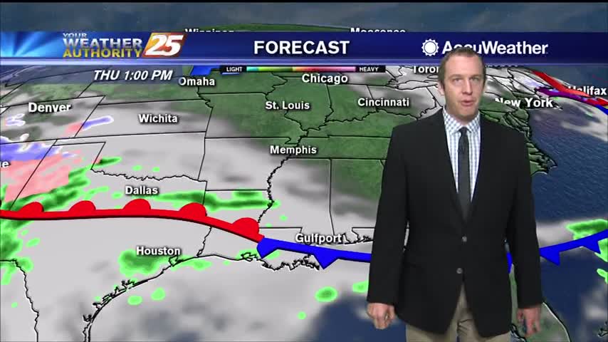
Humid, calm conditions will keep foggy weather in place for a few days, but it will eventually dry out and cool down a little.
A Dense Fog Advisory has been extended until 3:00 p.m. for all of South Mississippi and for the Mississippi Sound. Visibility has been reduced to ¼ of a mile or less in several locations, especially along the coast and near…
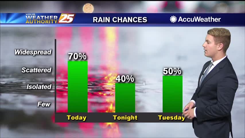
A Dense Fog Advisory is in effect until at least 9:00 a.m. for land areas and until 3:00 p.m. for the Mississippi Sound. Visibility has been reduced to ¼ of a mile or less in several locations, especially along the…
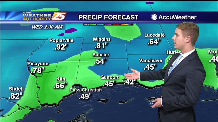
Showers and a few thunderstorms are rolling through South Mississippi tonight. Rain chances will remain at around 40-50 percent through the early morning hours. Overnight temperatures will stay relatively steady in the lower 60s along the immediate coast and in…
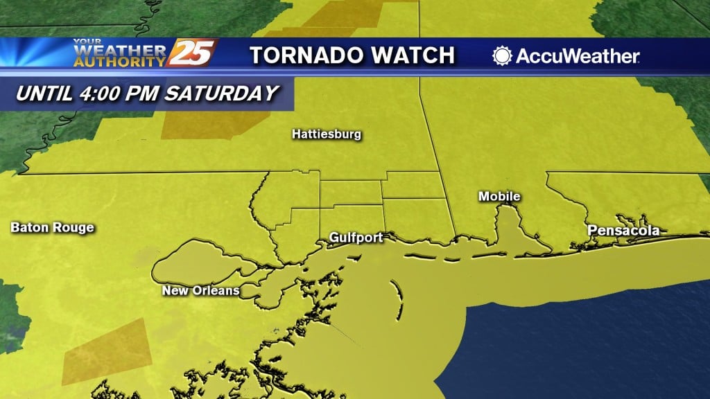
(WXXV) — The National Weather Service has issued a Tornado Watch for South Mississippi. The Tornado Watch is in effect until 4:00 PM Saturday for Pearl River, Jackson, Stone, Harrison, George, and Hancock Counties. Additionally, Tornado Watches stretch across the…
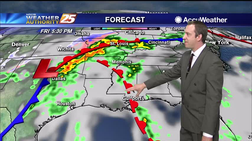
Today has been wet and nasty as advertised, but the strongest of the storms has yet to come.
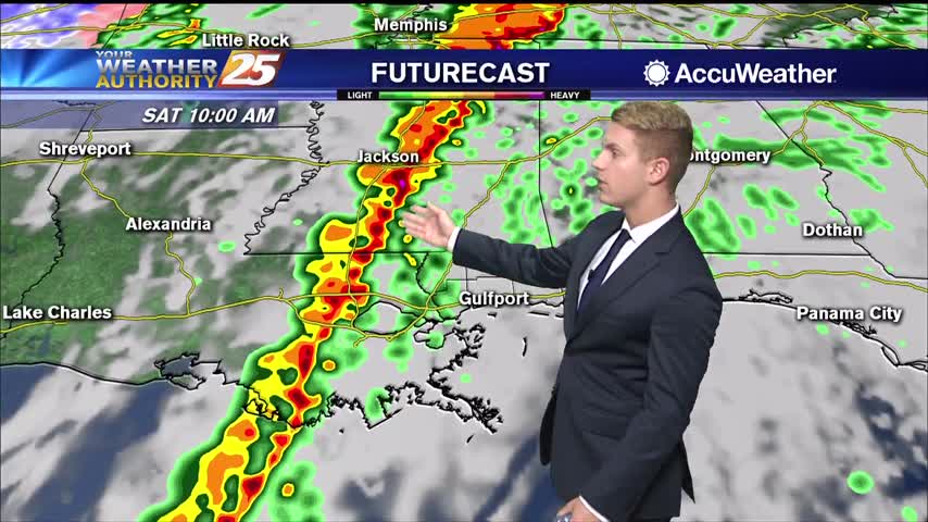
Moderate to heavy rain showers will continue through Friday afternoon and evening. Temperatures will stay warm in the lower 70s today and only dropping to the upper 60s overnight. There is an "Enhanced Risk" (threat level 3 out of 5)…
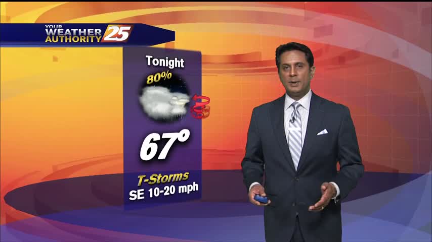
A windy and humid start to the day with isolated rain moving in from the south...
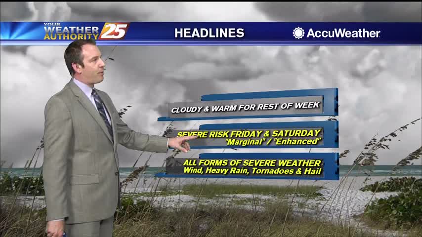
The cloudy skies have moved in and aren't leaving for the rest of the week. We're also gearing up for some potential weekend severe weather.