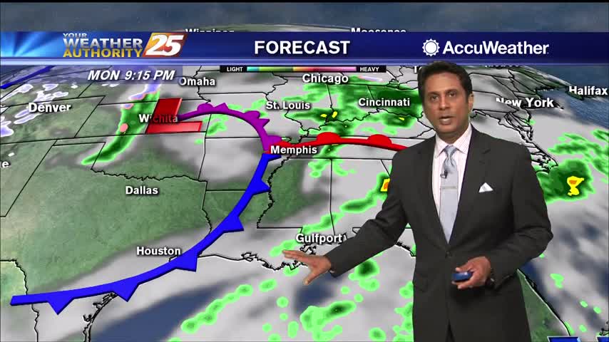
03/02 Ryan's "Cloudy Start" Monday Evening Forecast
This time last week we were getting ready for freezing temperatures, but tonight's low will be double that as warm, moist air lingers.
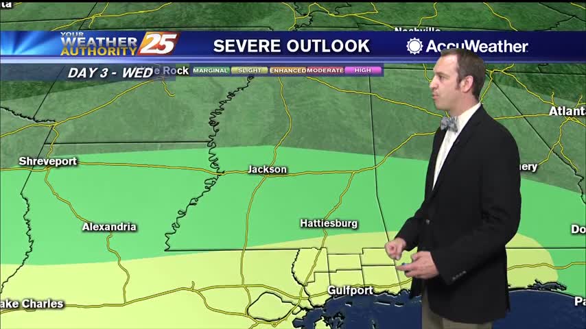
This time last week we were getting ready for freezing temperatures, but tonight's low will be double that as warm, moist air lingers.
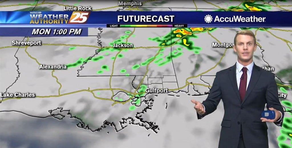
Today, scattered to numerous shower development will be possible in the afternoon and early evening. Regional radars are already showing these showers already tracking over the area. Expect this to continue throughout the day. At the same time, temperatures should…
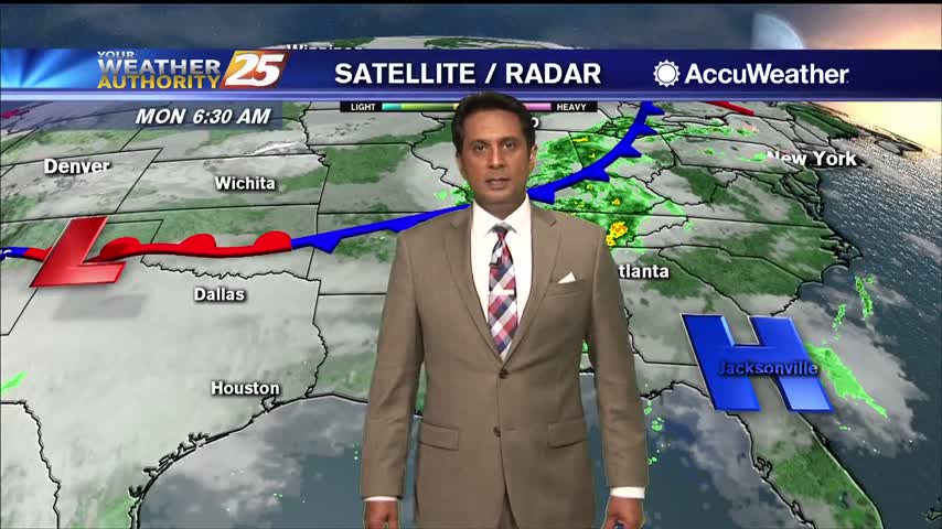
A cloudy start this morning with spotty light rain moving NE...
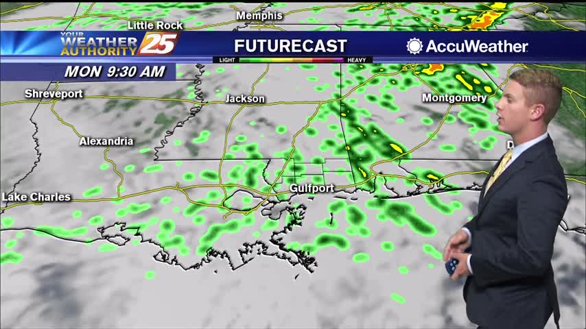
High pressure will persist through Tuesday, limiting the rain chances for tonight and tomorrow to around 30 to 40 percent. Southerly surface winds will be in place through Wednesday, allowing for more warm air and moisture to move into the…
We've warmed over the last few nights, but even more warm, moist air is moving in over the weekend.
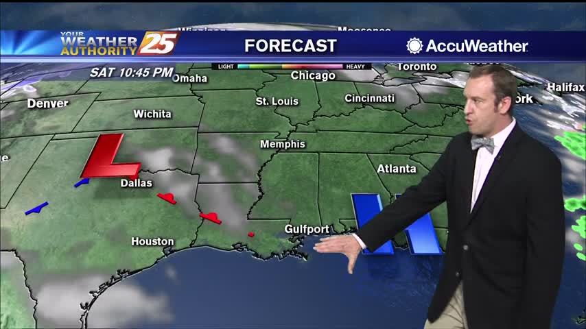
Not much changes from today's sunny, warmer weather through the weekend, but active weather moves in not long after.
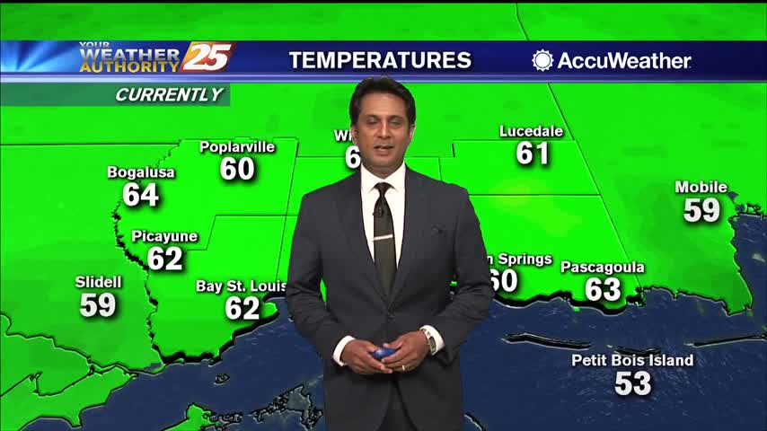
After a chilly start, temperatures have warmed nicely into the 60s...
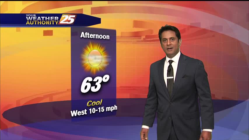
Another very cold start to the day but the warm up will begin later this afternoon and through the weekend...
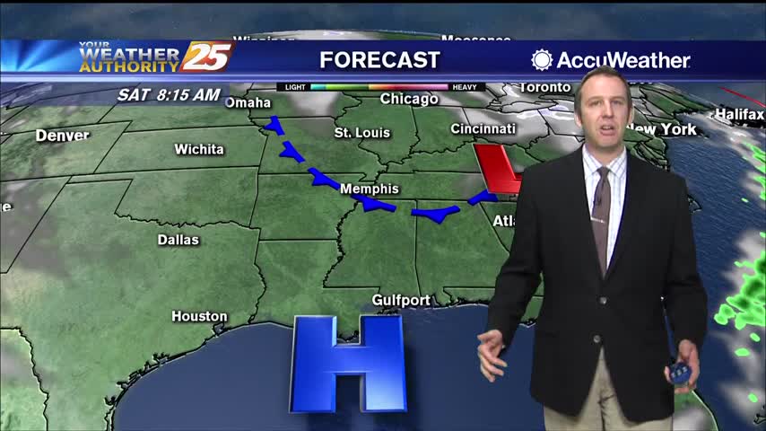
Get ready for another cold one, but I expect it to be slightly (a degree or so) warmer than last night. Warming increases into next week, into the low 70s by Tuesday.
We'll see another very cold night after a cool, sunny afternoon, but warmer days are ahead.
High-pressure currently settling in over the area this morning will keep things cool and dry. Tonight will bring very cold temperatures in the mid-30s, before a gentle warming trend begins as the weekend approaches. Return flow will help bring a…

A morning cold front brought a few clouds along with it, but they're clearing through the night as cold, dry air rushes in.

Another front moved through this morning and skies are clearing rapidly as temperatures fall.

Clouds are sticking around a little bit longer than initially predicted, but are slowly filtering out of the area. By this evening, we should see mostly clear skies. We likely already reached our daytime high temperature, getting up to the…

A cold front is currently moving east of the area this morning. Temperatures will either stabilize or move a few degrees lower through the day and even though skies are clear at the moment, clouds quickly fill the sky and…

The front moved through last night, but clouds have lingered all day though that's finally starting to change.

No rain for Fat Tuesday in South MS, but cloudy skies linger just a little longer before the sun returns,

A cold front will move through Wednesday morning just after sunrise for much of the area. Temperatures will either stabilize or move a few degrees lower through the day and cloud cover will be tough to get rid of until…
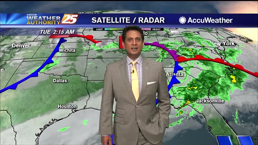
A low pressure system is now to the east with areas of patchy dense fog. A Dense Fog Advisory is in effect through mid-morning. Cloud coverage will continue through Wednesday when a secondary frontal system is expected to move through…

Kind of a dreary Lundi Gras, but Mardi Gras is looking marginally better. The rest of the week is a different story though.

It's been on the wet and grey side all day, but we have just a little more rain left before much more sunny skies move in.

Showers and thunderstorms will increase in coverage in the afternoon and evening. Otherwise, expect cloudy skies with a high temperatures topping out in the upper 60s to lower 70s. Winds will generally be out of the south at 5 to…
A cool start with areas of light patchy fog...

For Lundi Gras, there is a slight chance of showers in the morning, then showers and thunderstorms will increase in coverage in the afternoon and evening. Otherwise, expect cloudy skies with a high near 66 with winds generally out of…