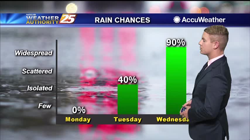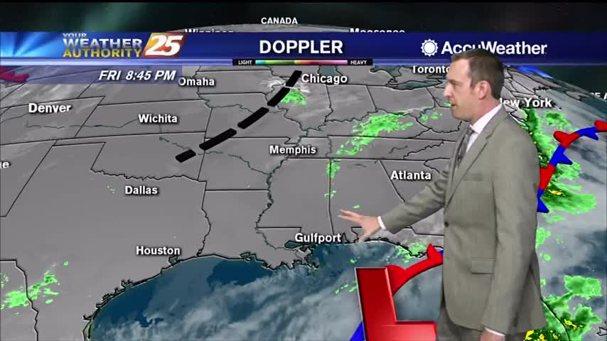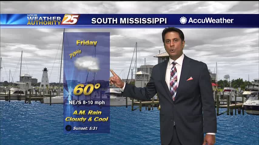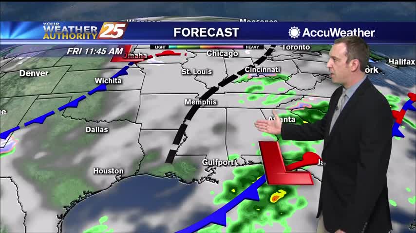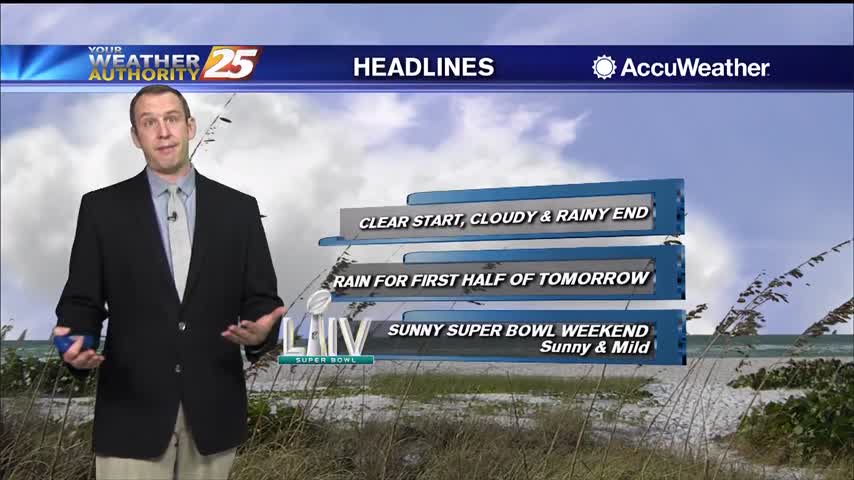
02/04 – Rob's "Cloudy and Mild" Tuesday Morning Forecast
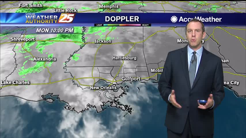
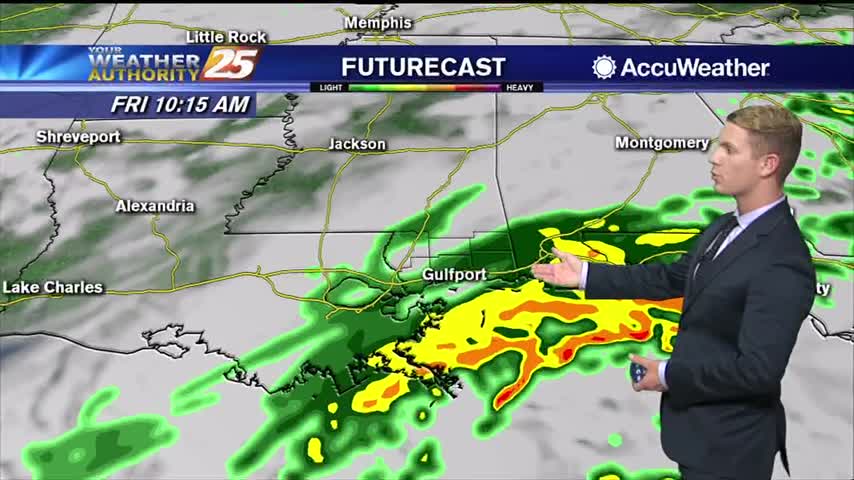
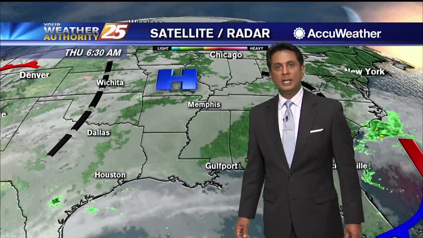
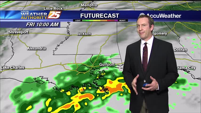
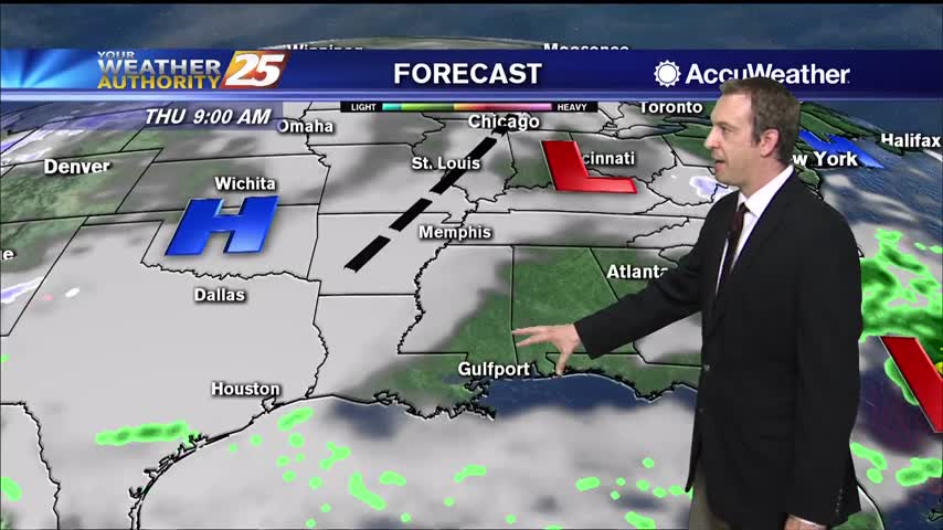
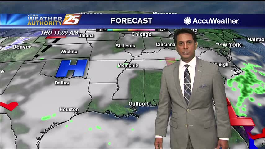
A broad area of high-pressure that encompasses the central portion of the country is steadily shifting east. Southeasterly wind flow will become solidified today with high pressure now east of the local area. Expect moisture levels to increase, with dew-points…