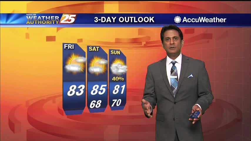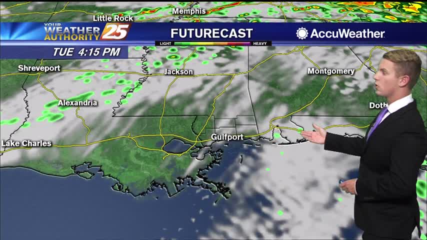
03/31 – Brantly's "Clearing and Cooling" Tuesday Afternoon Forecast
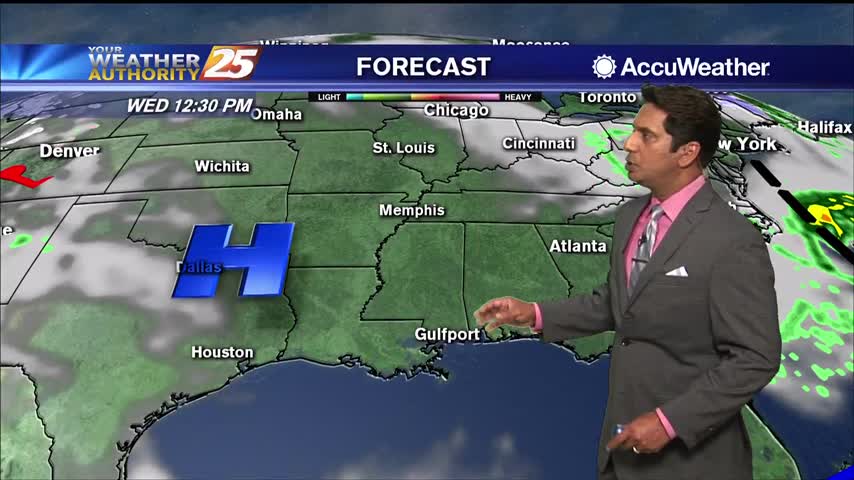
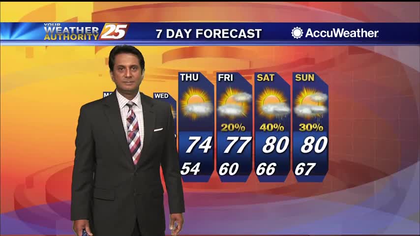
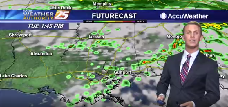
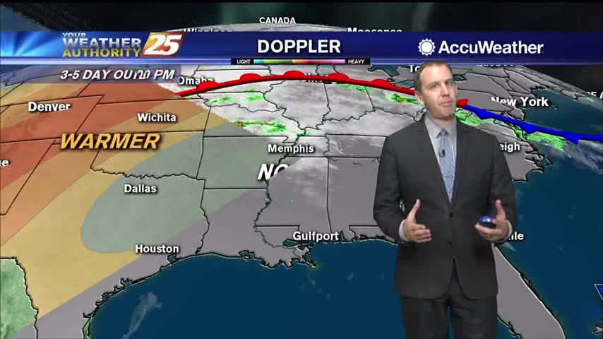
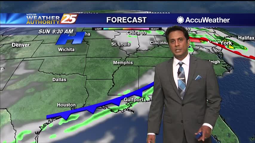
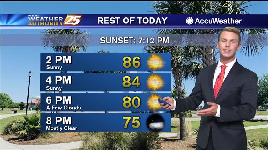
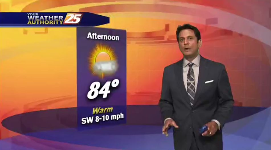
After a wet, stormy start to the day, skies are beginning to clear across South Mississippi. Warm temperatures will continue through the middle of the afternoon, then much cooler air moves in with the passage of a cold front. It…