10/2 - Rob Knight's "1st Weekend of October" Midday News Forecast
High-pressure to the NW will continue to bring in a cooler/drier air mass this afternoon through the weekend...
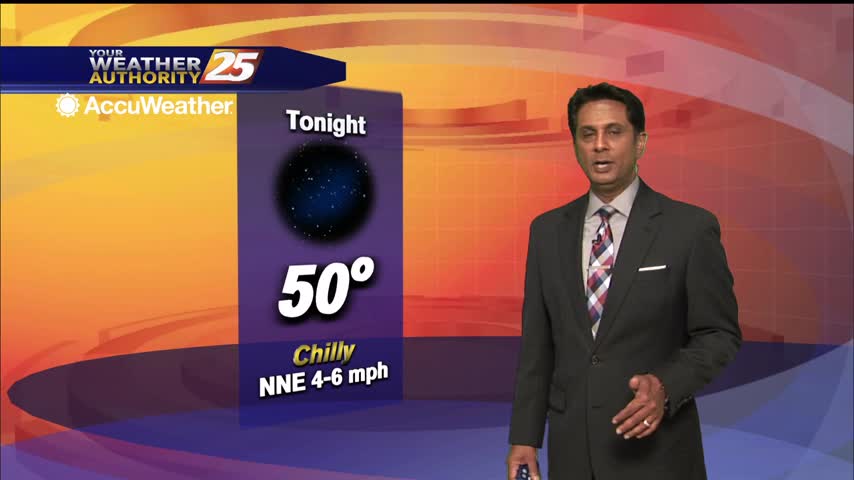
High-pressure to the NW will continue to bring in a cooler/drier air mass this afternoon through the weekend...
A dry front moved through the area overnight providing for a reinforcing shot of cooler drier air this morning...
Nice fall afternoon ahead, which will linger though the weekend and into next week.
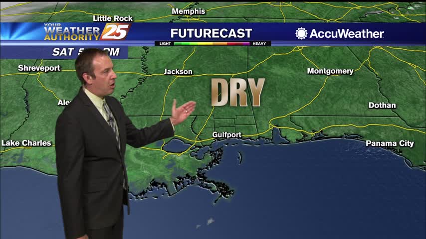
October is here and a weak front is bringing some appropriately fall-like weather for the weekend and most of next week.
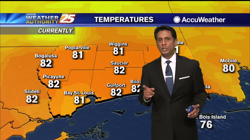
Warmer temperatures heading into this afternoon prior to a dry front approaching the area...
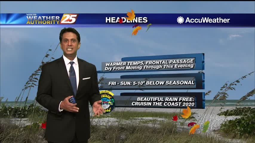
Another lovely start to the day with cool temperatures and lower humidity...
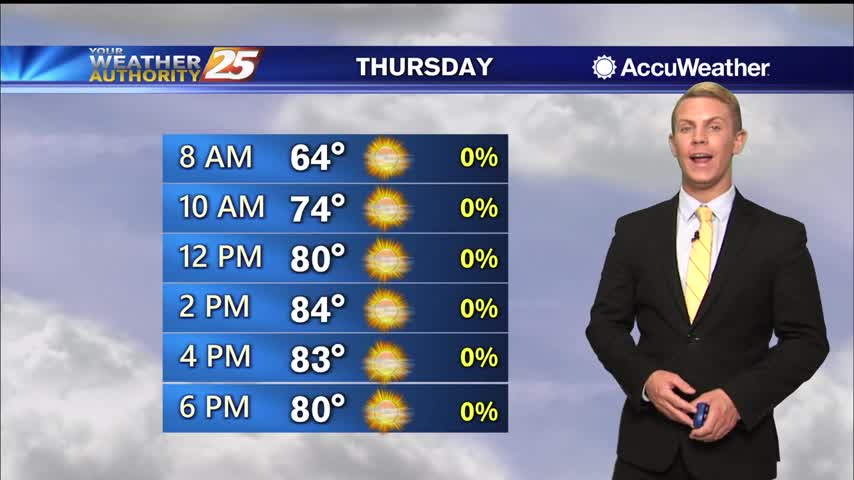
Lots of sunshine expected once again today along the Gulf Coast with just a few clouds passing through. It will be just a little bit warmer with high temperatures topping out in the lower to mid 80s. A dry cold…
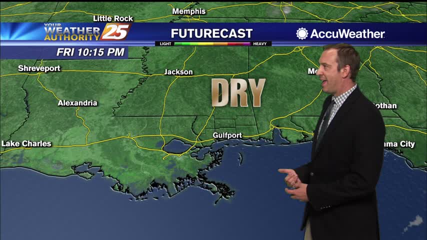
A textbook fall night lies ahead, but it will be slightly warmer than last night was....
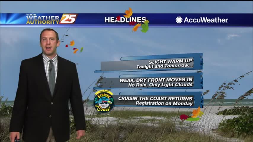
The fall weather continues, and even cooler, drier air is moving in again soon!

BEAUTIFUL autumn conditions heading into the afternoon...
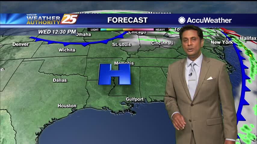
A CHILLY start to the day as strong high-pressure moves in from the NW...
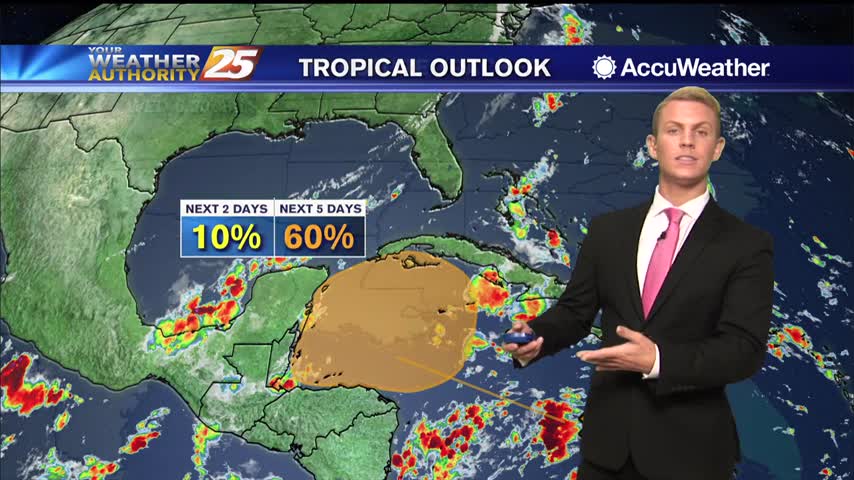
A reinforcing surge of dry cool air will move through the area Thursday night into Friday keeping these conditions through the weekend. This is when the next tropical disturbance is expected to initialize over the NW Caribbean. As this disturbance…
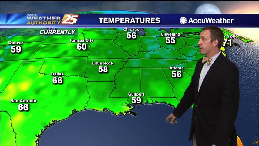
Fall weather has arrived a little late, but will stick around for over a week this time.
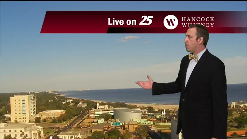
It may be a week late, but a long period of textbook fall-like weather has finally arrived!
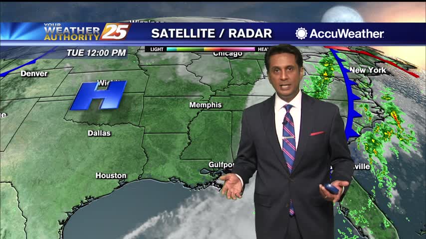
Sunshine and nice temperatures with breezy conditions heading into this afternoon...
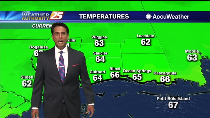
Clouds continue to move east with spotty light rain beginning to dissipate...
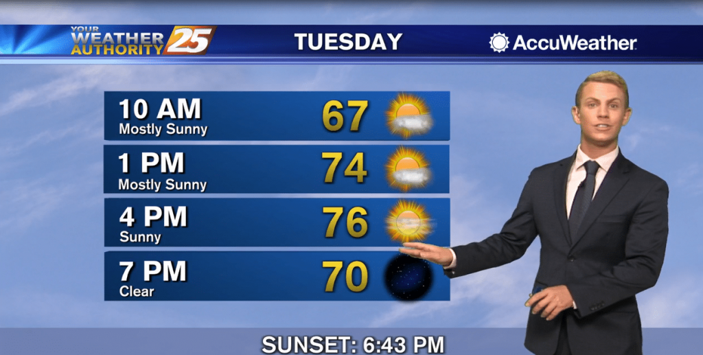
The cold front has progressed through much of the area at this time, leaving in its wake a northwesterly flow that will usher drier and cooler air into the region overnight tonight through the next couple of days. Dry weather…
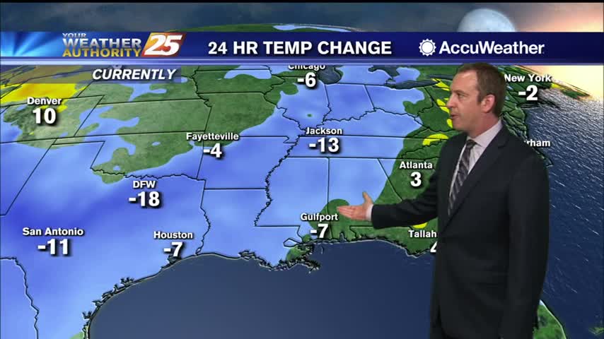
Significant fall-like weather arrives about a week late, but will linger for quite some time.
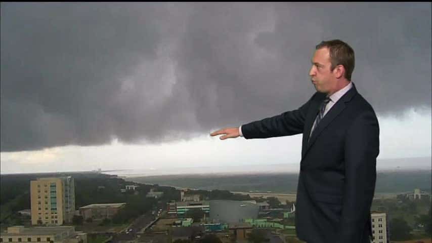
Cold front moving through will finally bring some significantly drier air, so fall-like weather is moving in soon!
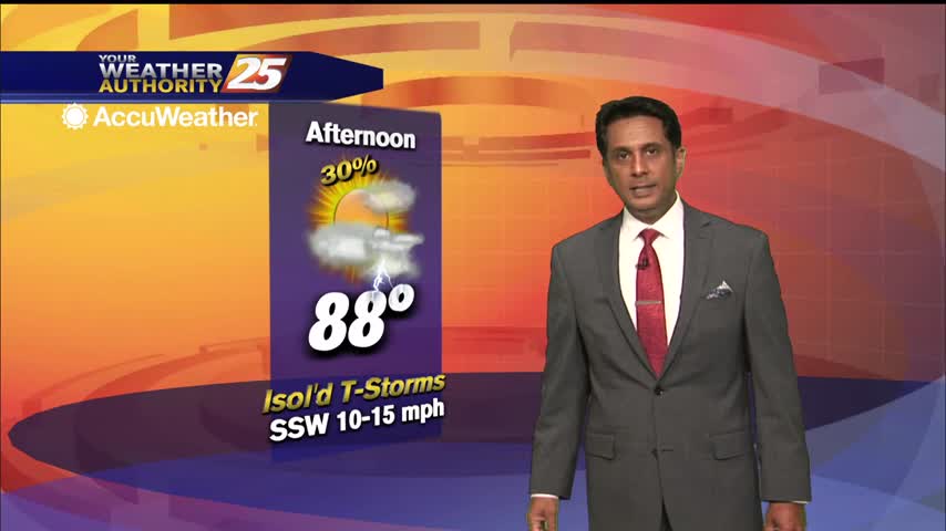
Warm and very humid conditions heading into this afternoon in advance of an approaching cold front...
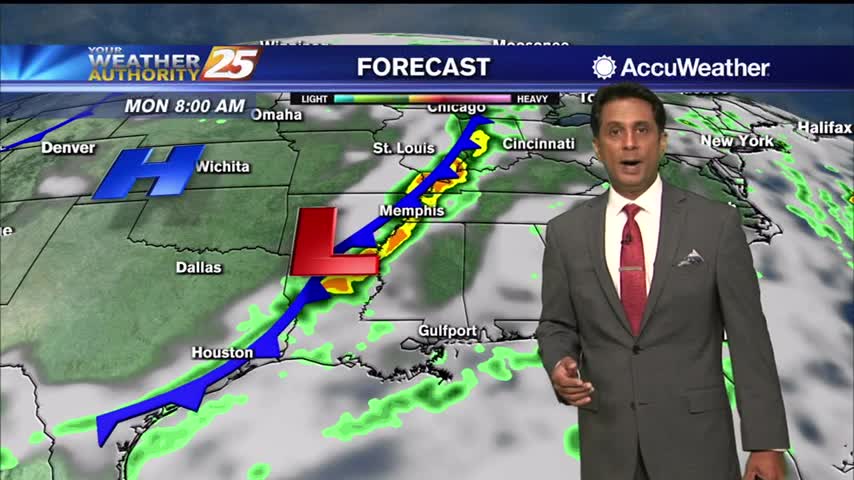
Light patchy fog this morning in advance of an approaching cold front...
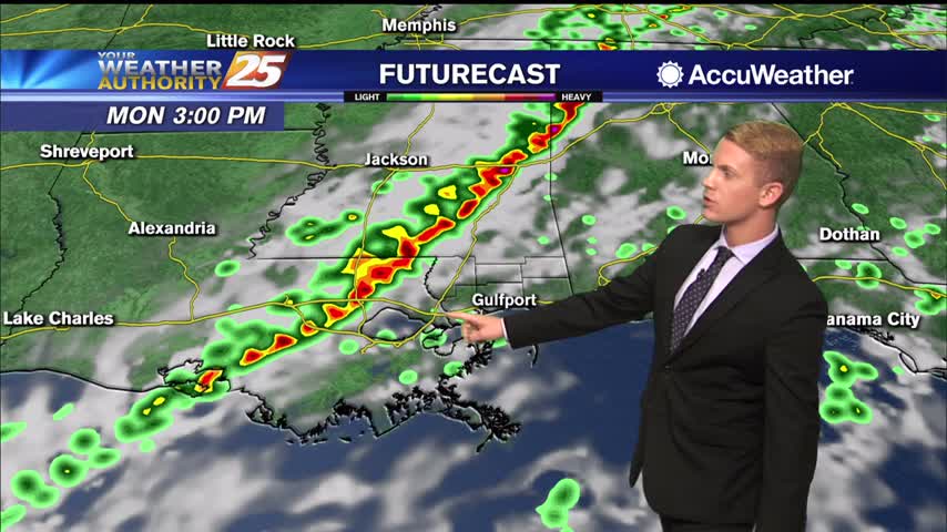
The first big cold front since last spring looks like it will be moving through the area Monday evening into Monday night. Weather models have been fairly consistent with timing of the cold front moving through by early Tuesday morning…
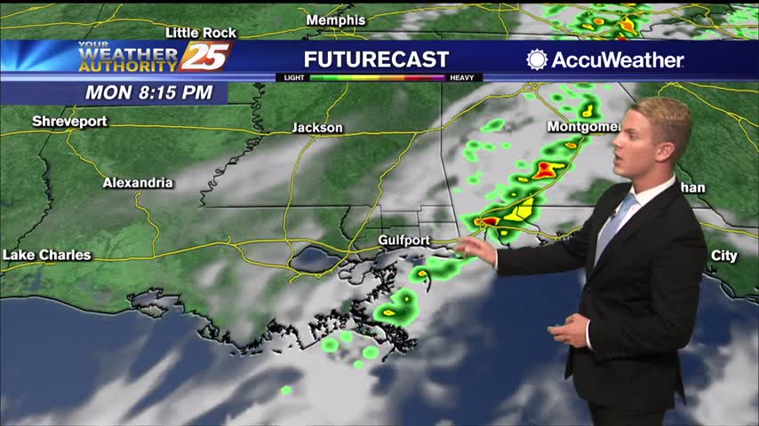
The first big cold front since last spring looks like it will be moving through the area Monday evening into Monday night. Weather models have been fairly consistent with timing of the cold front moving through by early Tuesday morning…
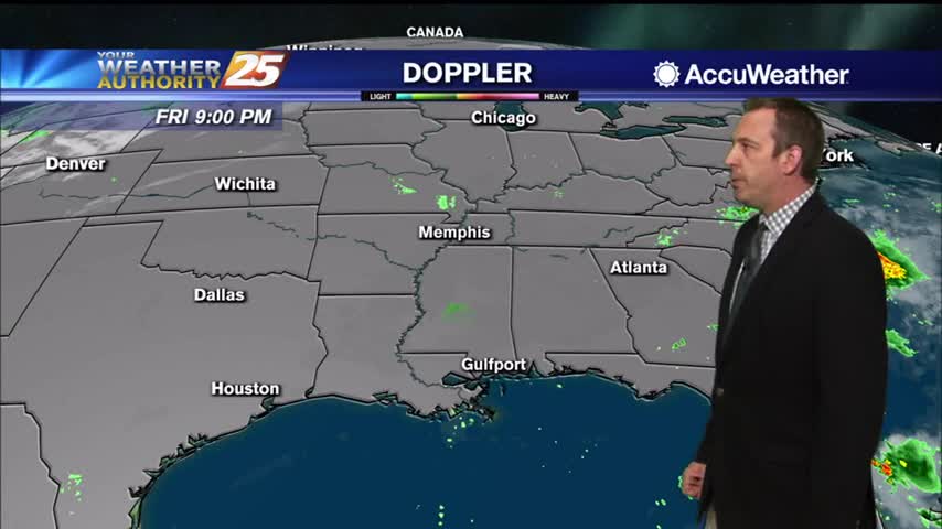
Saw some blue sky today after a cloudy start, leading to a nice weekend ahead, but it won't be long before cool, crisp weather moves in.