5/21 – Jeff’s “Changing Pattern” Sunday Night Forecast
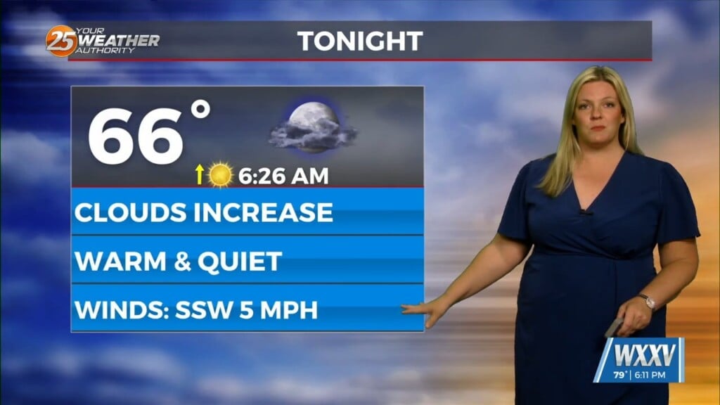
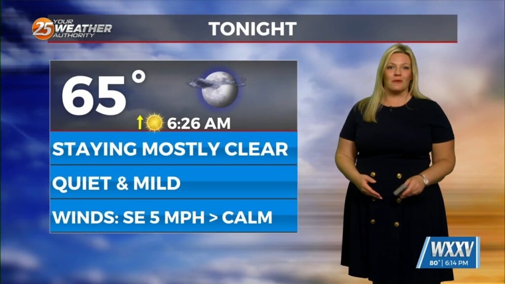
Winds have shifted behind a cold front that moved through the area this weekend. With that, there is some relief from the heat due to increased cloud coverage. The front has stalled south of our area. Clouds will gradually clear overnight into Monday. Partly cloudy skies can be expected for the start of the week with very isolated thunderstorm chances tomorrow afternoon.
An area of low pressure to our east will influence our weather over the course of this week. The area of disturbed weather associated with it will provide for rain chances to elevate Tuesday. There is a 40% chance of thunderstorms in place for Tuesday. Once the disturbance clears our area into Wednesday, northeasterly flow builds in.
The change in the flow will provide for drier and milder air to infiltrate the region. Temperatures will be more pleasant and cloud coverage will be much less dominant. This could be the final bout of mild conditions before summer weather sets in.


