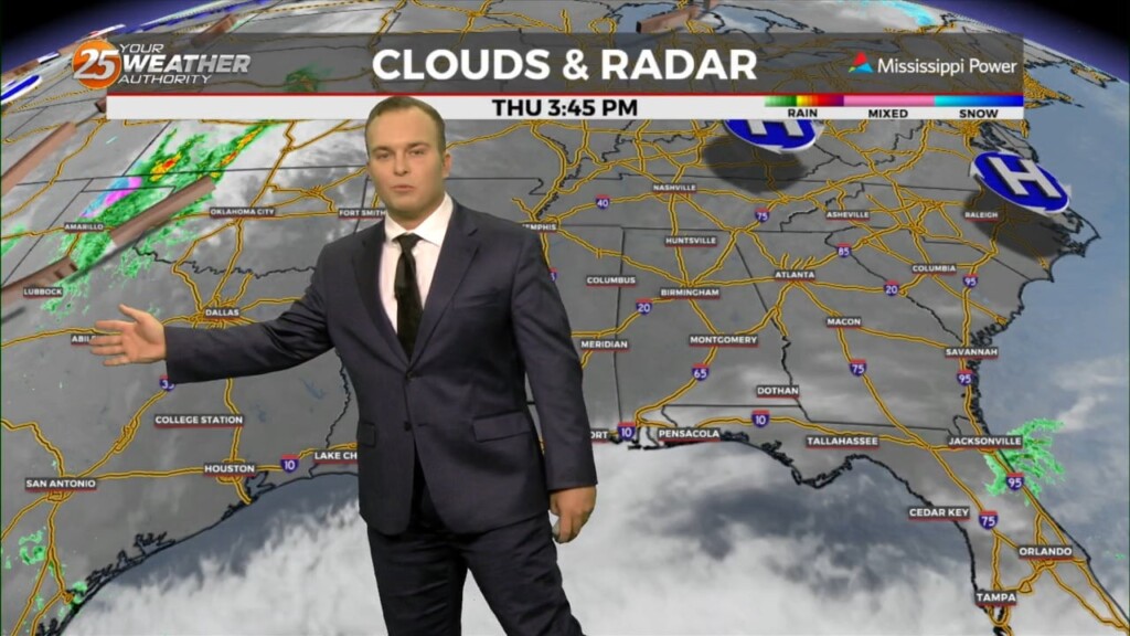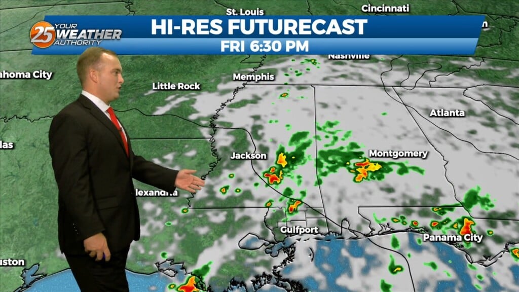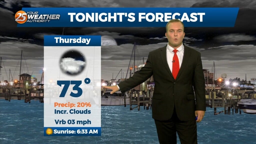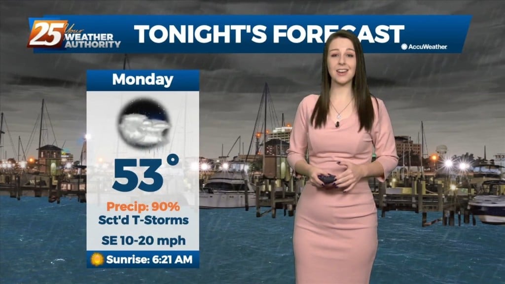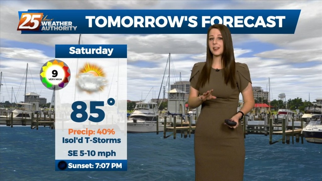
12/14 - Jeff's "Changing Conditions" Thursday Night Forecast
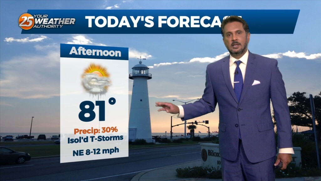
Partly cloudy skies and breezy conditions remain overnight. Temperatures will be fairly mild compared to earlier this week. Friday will feature more sunshine and windy conditions at times.…