4/26 – The Chief’s “Warm & Breezy” Wednesday Afternoon Forecast
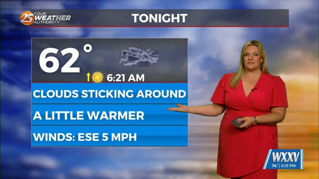
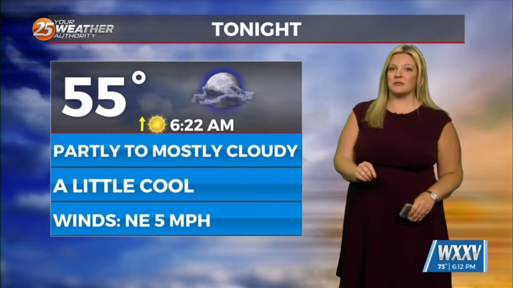
This afternoon will bring pleasant conditions as sky condition will vary between partly/mostly cloudy skies.
Much of the focus is on Thursday as severe weather seems like it could be on the table. The aforementioned disturbance looks like it will sag southeastward towards the lower Mississippi valley during the morning and early afternoon on Thursday. The most confident part of Thursday is the instability. The biggest question of this event will be storm mode and how that impacts what will happen during the day on Thursday. All in all, confidence in a severe weather event is increasing for Thursday primarily from late-morning until the afternoon with all modes possible, with wind and hail most likely unless shear keeps increasing.
Picking up the long range starting on Friday, first and foremost requires a disclaimer as the forecast confidence late week into the weekend is relatively low, and highly dependent on the evolution of earlier waves of strong/severe storms forecast to impact the area on Thursday. Meaning, any lingering boundaries and where they end up will determine the potential for either more active weather, or a drier day all together.
Saturday, another upstream disturbance makes its way south east digging into the southern Plains. This impulse will swing SE to eventual ESE and E around the base of a deep upper low situated over the Great Lakes. As for timing, experience alarms at these types of setups typically being slower as the round this larger closed low to the north, which is typical in this pattern.


