3/13 – Jeff Vorick’s “Warm & Unsettled Pattern Ahead” Wednesday Morning Forecast
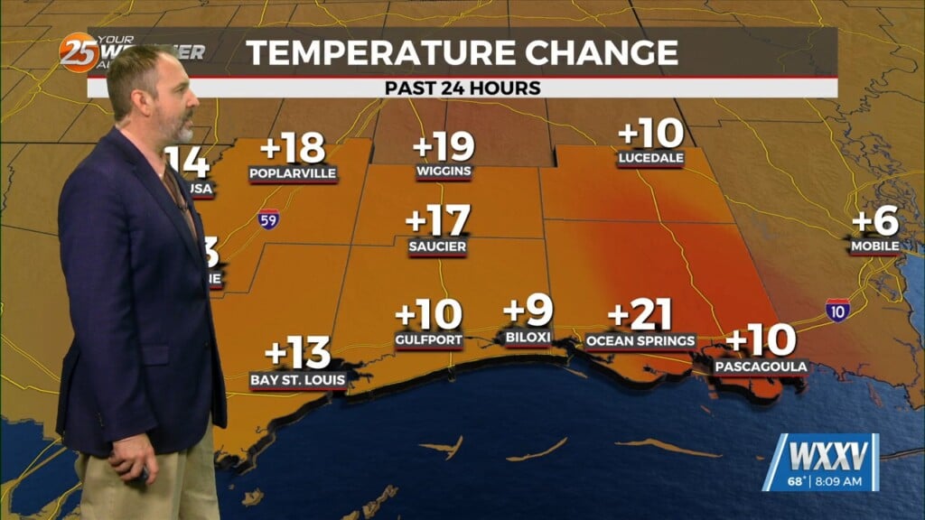
More clouds are around to start your Wednesday. A cool start will turn into a warm one today with temperatures reaching the 70s by midday. Rain chances will be a non-factor but a stray shower cannot be ruled out. Another concern that comes into play is the potential for fog. Light fog can’t be ruled out tonight but more persistent fog will be more of an issue for the end of this week. Our area will be entering a warm, humid, and unsettled stretch from the latter half of this week through much of the weekend. A cold front will stall out in our region and several disturbances will ride along the boundary.
Total washouts are not expected but there will be multiple waves/windows of thunderstorms. Thursday brings a 40% chance of isolated to widely scattered showers and thunderstorms, mainly in the afternoon. Friday is when the aforementioned boundary will get closer in proximity to the area. A 60% chance of rainfall is expected for the end of the week. Saturday brings the better opportunity for dry time while Sunday will bring a near-washout for some part of the day.


