01/10 Ryan’s “Frigid” Thursday Evening Forecast
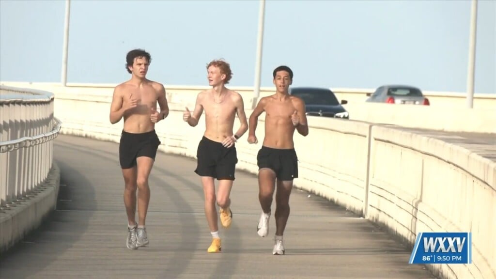
Today was a slightly cooler version of yesterday’s sunny skies and low humidity, and another frigid night is on the way. Expect temperatures near 35 degrees on the waterfront again, with inland areas falling below freezing for another night. Fortunately for people who like it warmer like me, this cold snap only lasts for one more night.
So tomorrow will begin as cool and dry as the last few days have been, but return flow sets up in the later part of the day.
This is because our first active weather maker in quite some time is moving in and rain is expected by Saturday evening. This system seems to be weakening as it moves in, so I’ve lowered rain chances from 60% to 40% as situation continues to develop. Expect to see showers for a few hours through the evening and night, but severe weather isn’t anticipated. The skies will begin clearing Sunday morning, and we’ll get right back to our trend of sunny, , drier, and cooler weather for all of next week.

Leave a Reply