10/31 - Jeff Vorick's "Pleasant Halloween" Monday Afternoon Forecast
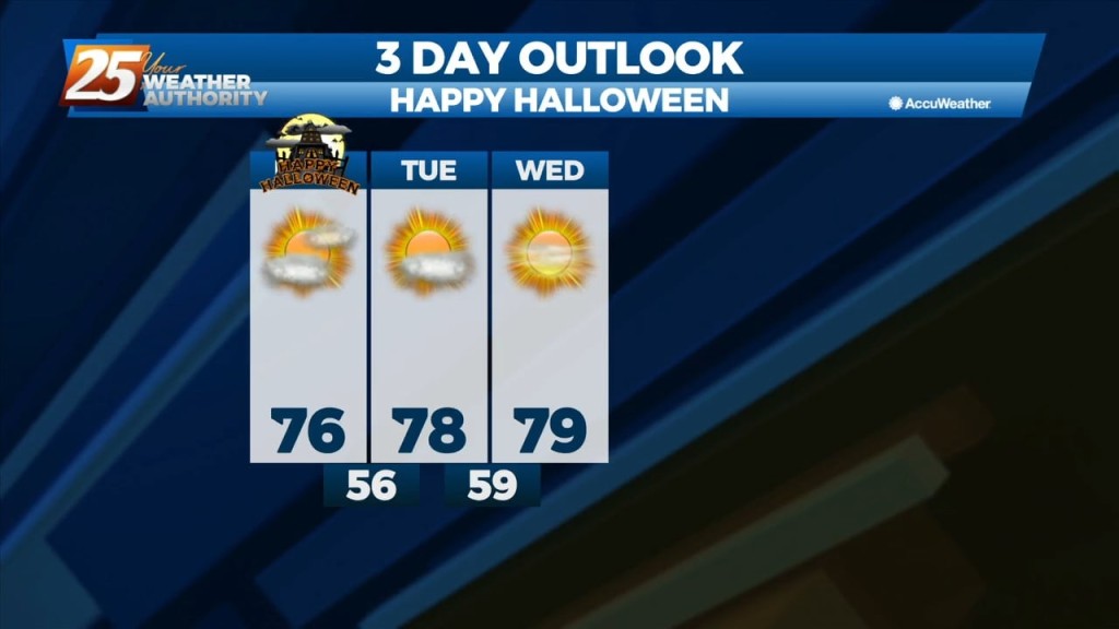
Today will be a mild, near-seasonal day. Halloween Day will have high temperatures in the mid-70s with light West-Southwest winds at 4-8 MPH. Partly cloudy conditions are…
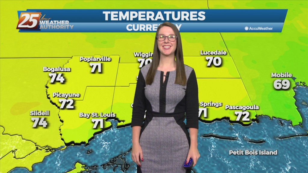
Today will be a mild, near-seasonal day. Halloween Day will have high temperatures in the mid-70s with light West-Southwest winds at 4-8 MPH. Partly cloudy conditions are…

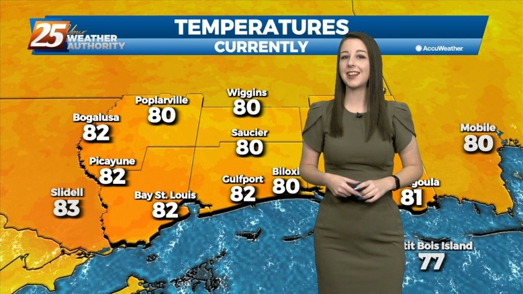
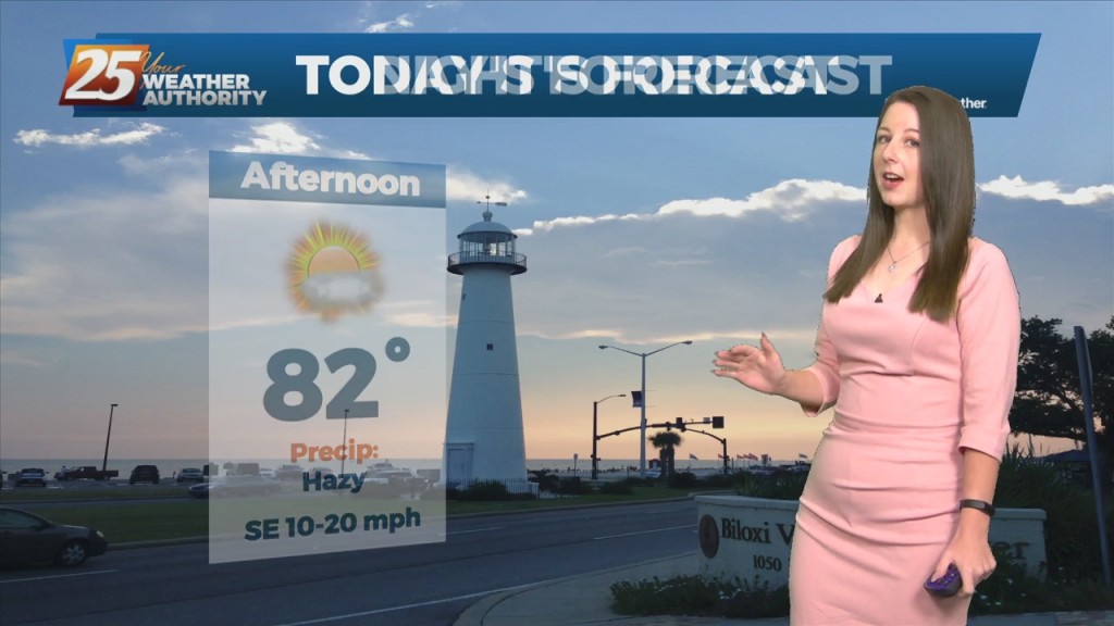
Temperatures have warmed quickly today under a dry airmass. It will get to around 80 degrees this afternoon with east winds shifting to southeast at 8 to 12…
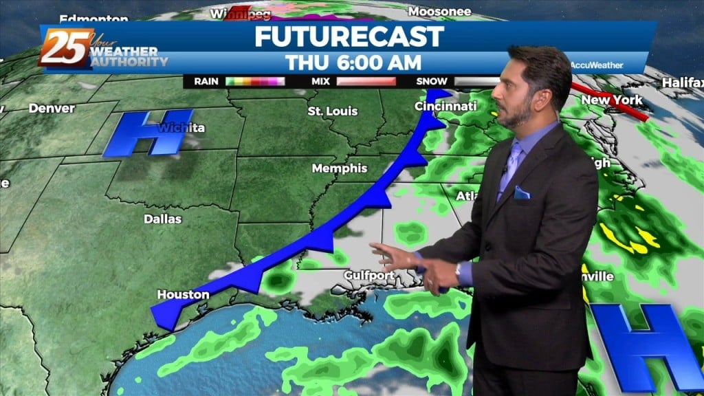
As post frontal air mass and high pressure builds into the region on Thursday, rainfall activity clears out and clouds will be on the decrease. While not looking at…
The pattern will moderate from the recent dry air pattern to a more humid flow through the day today. This morning, we will find clear skies…
Overall, a fairly tranquil day across the region with mostly sunny skies. Speaking of sun, plenty of insolation has occurred allowing for the boundary layer to mix…
The mild weather pattern continues across the area today and for the remainder of the workweek. The area of high pressure has moved to the…
As an area of high pressure sneaks into the area on the backside of distant low pressure, a warmer pattern takes hold. It’s only a small adjustment…
Saturday is looking nice to start yet again with some low-level clouds around. Main focus will be the continued return of low-level moisture drifting north adding to that old…
Looks like one more day of anomalously high moisture levels before some drying occurs. Now...that doesn`t mean we`re going to have totally dry and sunny days, but…
We should see a gradual transition of dry air replace deep moist air late Saturday into Sunday. Then another transition of this dry air to the deep moist air…
Upper level ridging remains in control of the southeastern part of the US with weak easterly flow. In addition, ample moisture continues to funnel through the area from the…
Through Tuesday, the upper ridge flattens as low pressure systems move through southern Canada. With ample moisture in place, and only weak influence of the upper ridge, generally scattered…
Going into the new workweek, not many changes to note. The region will still be within the H5 weakness between the subtropical/Bermuda high to the east and…
An upper level ridge that is centered over Texas and spreads across the Gulf Coast will continue to dominate the forecast over the next couple days. This suppresses…
Current upper level analysis shows a ridge centered near the Appalachian Mountains and a trough encompassing nearly half of the western US. A slither of that ridge…
Impulses associated with the weak upper low over the northeast Gulf will work their way westward over the next 48 hours. One will approach the Mississippi coast overnight tonight,…
Today will be quiet, humid, and warm with HI readings mostly in the mid to upper 90s and a few 100s. Saturday the chance for rain will increase. Southwest…
The main concern in the short term will continue to be the potential for thunderstorms and possible severe weather. We’ll remain in northwesterly upper flow today with…
Tonight’s environment condition could be unstable enough for isolated to scattered showers and thunderstorms to develop through the overnight hours, likely with less than 30 percent coverage of…

An upper level low-pressure system currently centered in the western Atlantic will move west into FL/GA today. At the same time, an upper level disturbance to the NW will…
The main talk of the short term will be the heat, we will definitely have plenty of it to go around. Many areas will see the low 90s Monday…

Aside from a normal start to summer and high temps well above normal values, we will throw several thunderstorms on the pile for Thursday night into Friday…
An upper level ridge is building in and across the southeastern CONUS with the center passing across the CWA today. As a result, onshore flow becomes well established and…
Over the course of the evening a front will move closer to the region and is expected to start impacting the area with increased shower and thunderstorm activity tomorrow.…