5/15 – Brittany’s “Lunar Eclipse” Sunday Evening Forecast
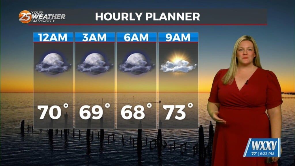
Tonight’s environment condition could be unstable enough for isolated to scattered showers and thunderstorms to develop through the overnight hours, likely with less than 30 percent coverage of the area. Ridging will nudge further east into the area and the upperlevel low will move into FL by afternoon Monday, an isolated thunderstorm in the late afternoon and evening with peak heating could be possible. The ridge will move into the area by early Tuesday. Above average temps will continue through the period, with normal highs around 85 this part of May. Ridging looks to be set in place Wednesday and Thursday which means we’ll see above average temps and dry, mostly sunny days for the region.
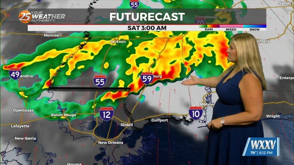
Friday a large system will move from the Rockies into the far Northern Plains and will flatten the ridging across the region. A surface high siting off FL will start to push deeper moisture back into the area as a cold front tries to push into LA but stalls by Saturday allowing for better chances of showers and thunderstorms as we start the weekend. The front fizzles north of the area, but could be enough for continued showers and thunderstorms Sunday. Above normal temps are likely through the period…though a bit cooler over the weekend is possible due to the clouds and rainfall.


