7/24 - Payton's Monday Afternoon Forecast
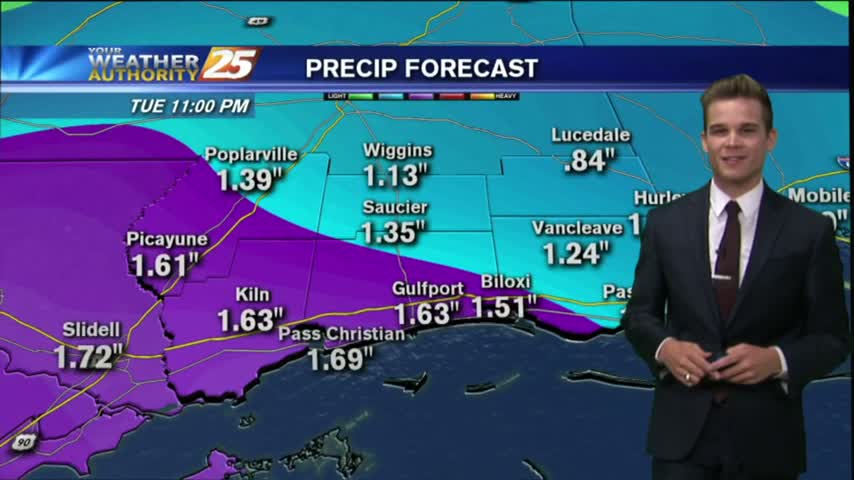
a FLASH FLOOD WATCH continues until 7 pm Tuesday for much of the area.
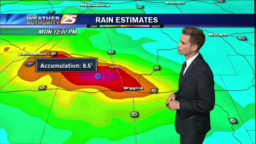
a FLASH FLOOD WATCH continues until 7 pm Tuesday for much of the area.
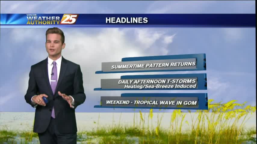
A typical summertime pattern for South Mississippi continues for most of this week.
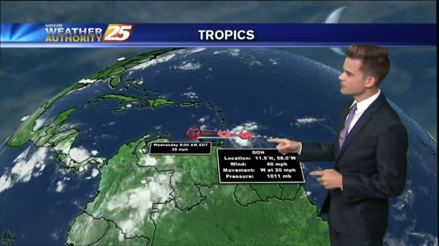
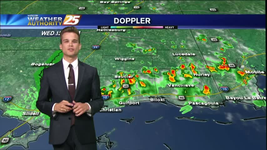
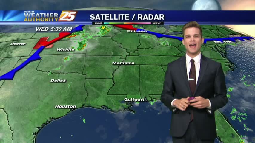
Showers and thunderstorms will continue this afternoon and into the night as strong tropical flow continues through mid week as a trough of low pressure in the upper-levels dominate much of the country.
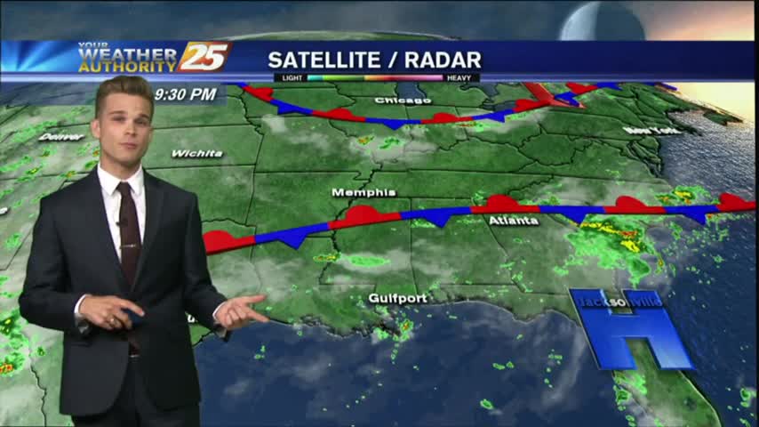
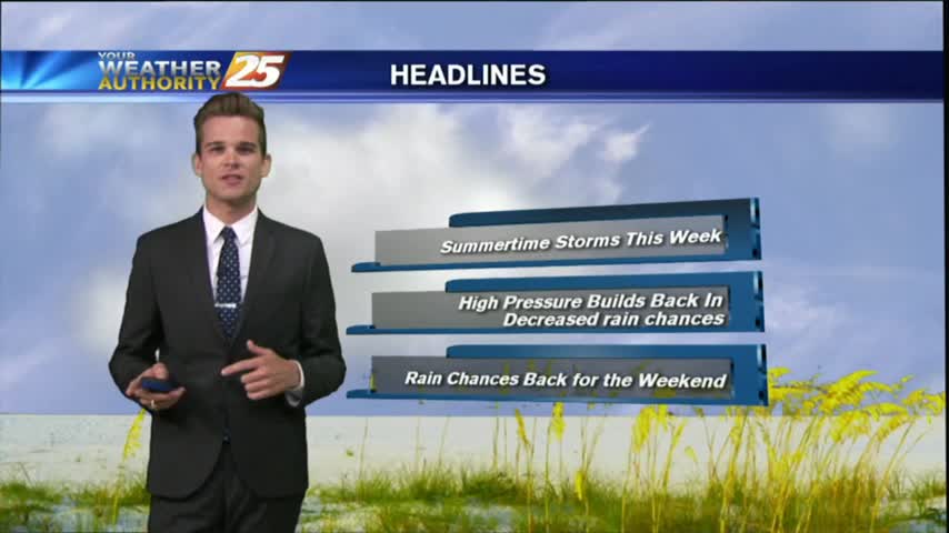
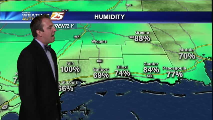
After a humid and stormy weekend, the summertime pattern will continue this week.
Showers and thunderstorm chances today as a surge of deep tropical moisture into the region.
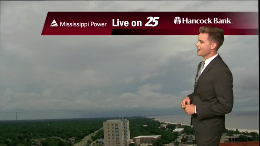
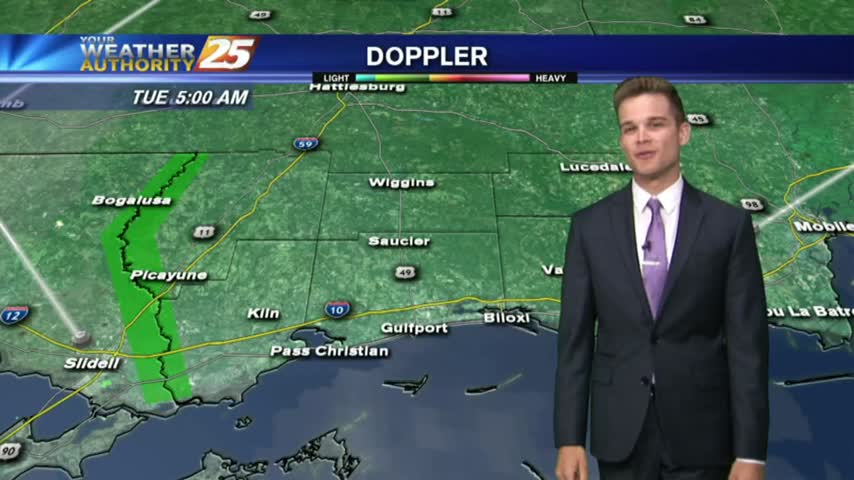
This morning started off dry with a north wind, but south winds have returned to the area this afternoon along with some clouds.
Showers and thunderstorms across the area this afternoon dumped heavy rain across portions of the area, but many did stay dry.
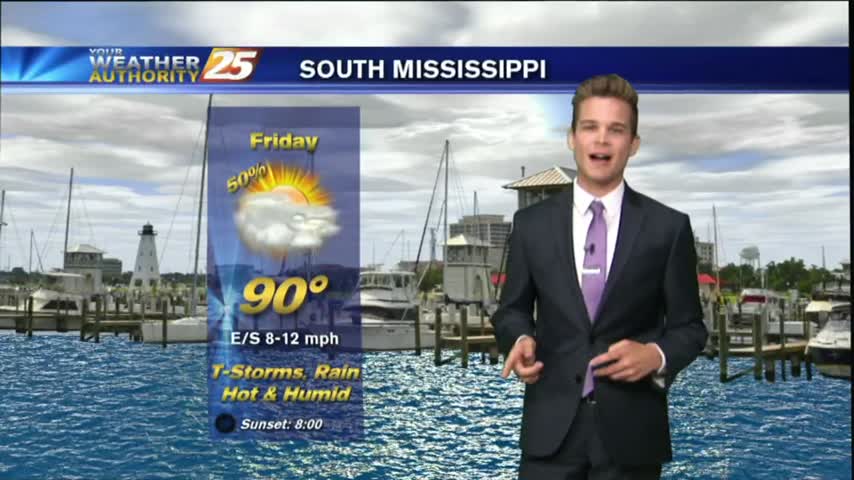
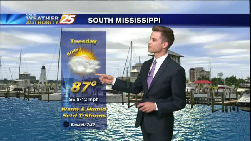
Another typical July day in South Mississippi with afternoon showers and thunderstorms.
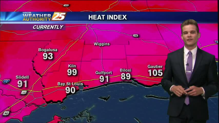
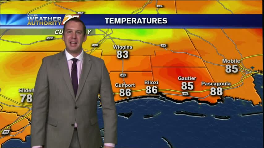
We're getting into the typical summertime pattern here in South Mississippi where it will be hot, humid & stormy during the afternoon.
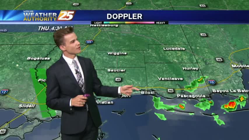
The tropical airmass that has been sitting over the area for the past week remains in place today through tomorrow, which will continue the rain chances for the morning and afternoon hours.
Another afternoon with popup showers and thunderstorms. The strongest storms will have lightning, heavy downpours and gusty winds.
Showers and thunderstorms continue in the forecast as the tropical airmass stays in the area.
Once again, another warm, muggy and wet day as a tropical airmass stays over the area.
Once again, another warm, muggy and wet day as a tropical airmass stays over the area.
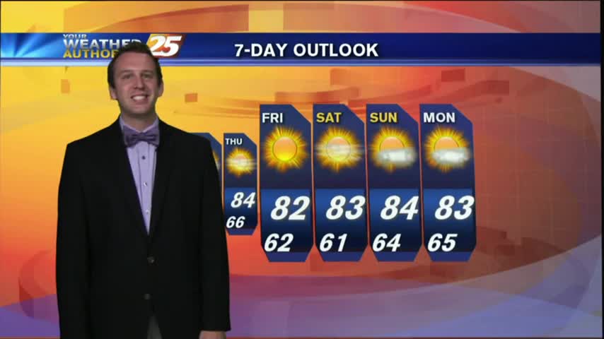
How many more cloudy & stormy days to we have left? Find out inside.
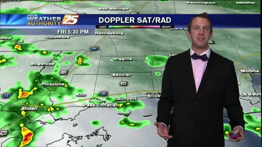
After a rainy start, the afternoon turned stormy, but can we expect this all weekend? Find out inside.
Started off today with loud t-storms moving through the area, but the stormy Friday finally gave way to a fairly decent evening. We'll see gradual clearing through the night and into the early morning hours, ending with mostly clear skies…

Our rainy/stormy afternoon has lead to a cooler Thursday night, low expected to drop as low as 76. We will top out near 90 tomorrow, but expecting to stay in the upper 80s along the waterfront. Overcast skies and rain-cooled…
It was a rather dreary day for much of Tuesday morning, but once things began to heat up in the afternoon, we saw an increase in showers and t-storms across the area. These storms are still slowly pushing South-Southwest, so…