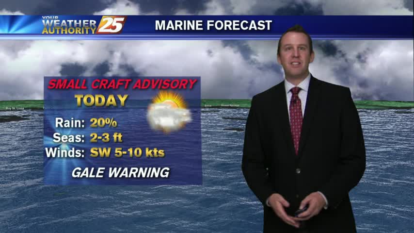
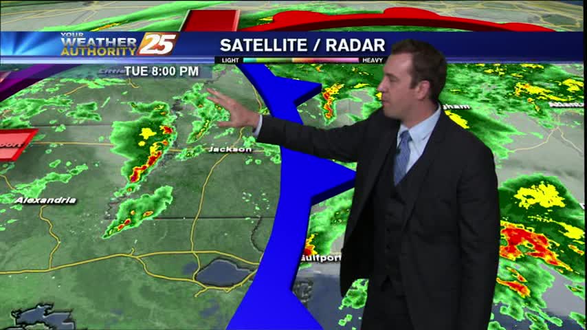
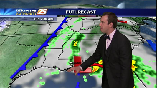
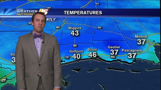
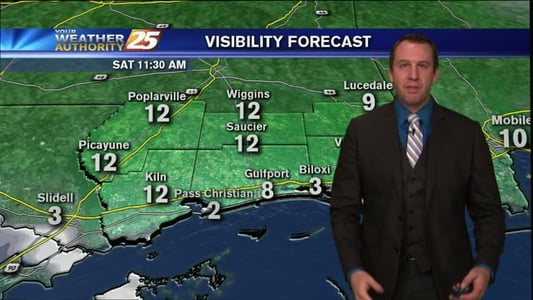
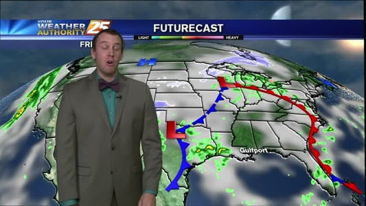
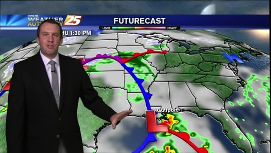
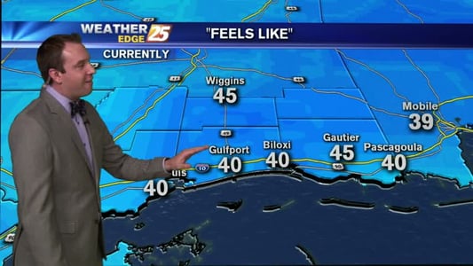
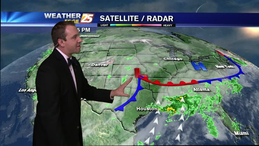
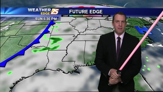
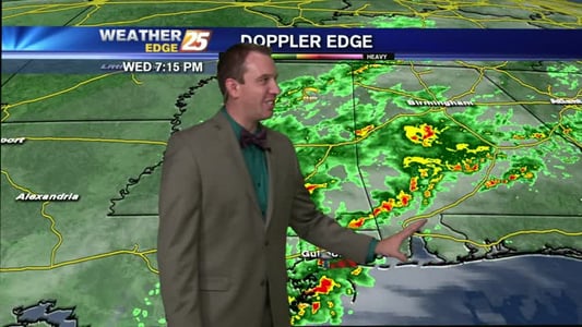
Last night's storms have continued to push eastward, and is now becoming less of a thunderstorm threat and more of a winter storm threat. Areas from Tennessee to Pennsylvania are experiencing blizzard and winter storm conditions. Locally, have brisk winds and and cold temperatures are continuing to fill the area vacated by the storms. The entire coast will be below freezing levels, and with the average wind staying near 20 mph, we'll see "wind chill" indices in the mid to low 20s for several hours. Skies will be clear throughout tomorrow for the Ocean Springs and Biloxi parades, but the high will max out near 48 with breezy conditions, so wear a coat. Saturday night will be one of the coldest nights we've seen this winter, air temp near 27