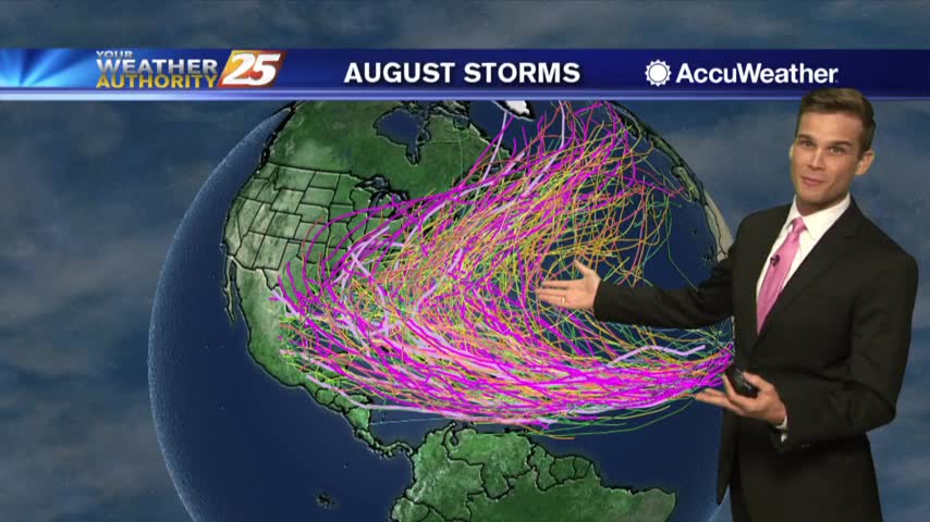
8/12 - Payton's Monday Afternoon Forecast
The latest on the summertime heat and tropics.
The latest on the summertime heat and tropics.
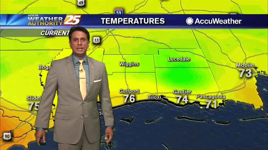
Heat indices again should reach the 105 to 112 range again this afternoon.
We'll see more showers and t-storms this afternoon, but drier days are ahead.
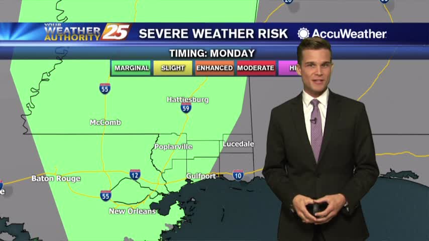
Rain possible for your Monday...drying by the end of the week.
Popup t-storms possible this week...and the latest on the tropics.
Monday looking mostly sunny and hot.
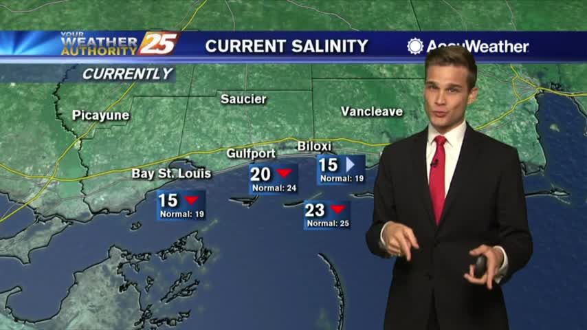
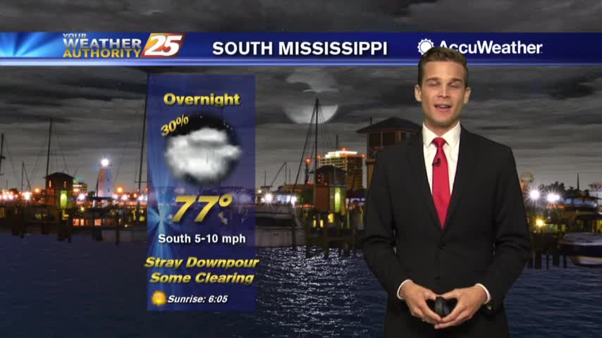
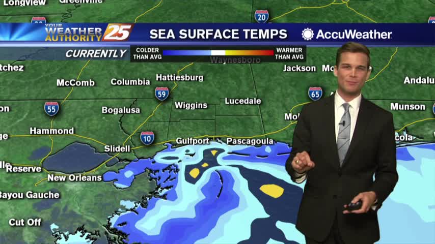
A few downpours tonight with more downpours possible on Tuesday. Update on Salinity levels.
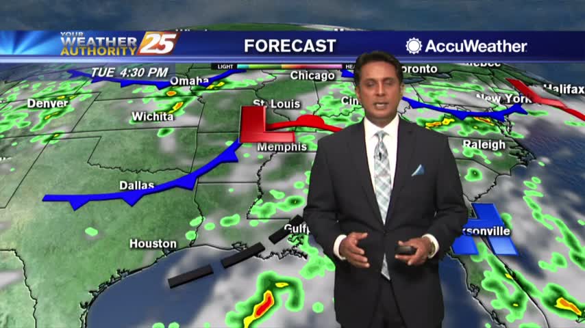
Tuesday will feature more sunshine with a few downpours possible throughout the day.

Rain has tapered-off significantly but a few showers will continue through tonight...
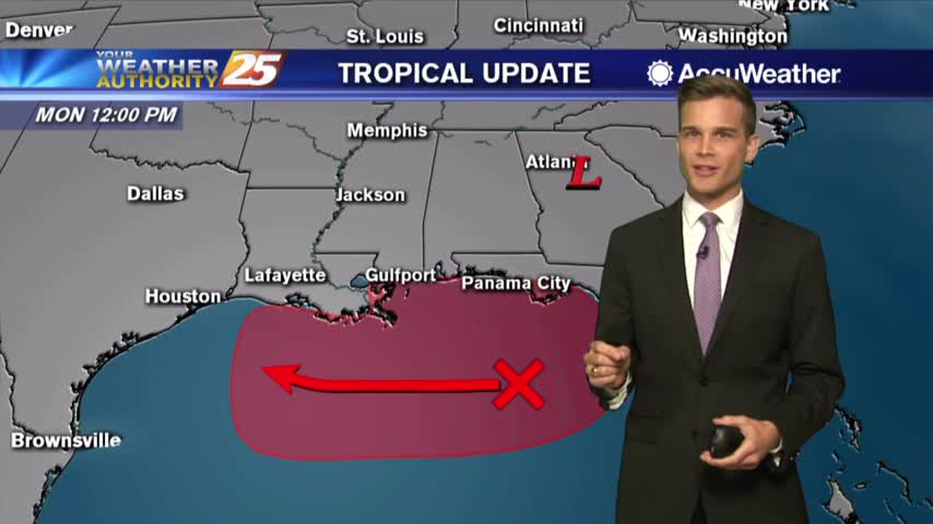
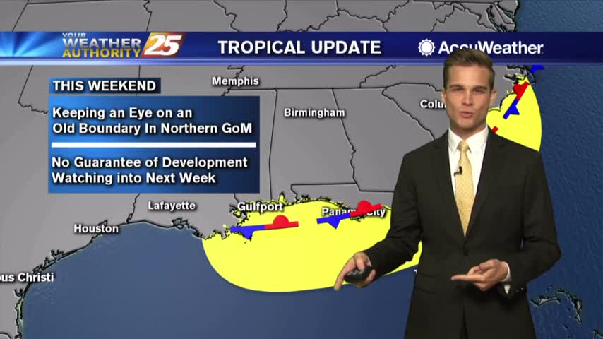
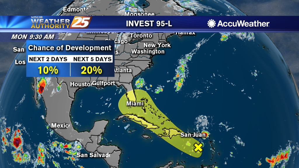
High Chance for Tropical Development in the Gulf. Here's the Latest.
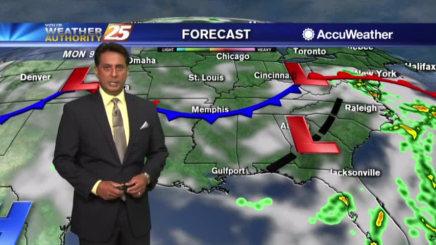
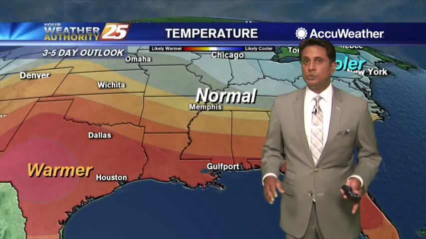
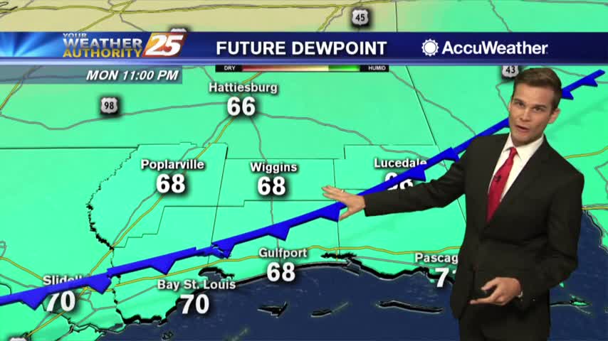
The latest on the heat and tropics...
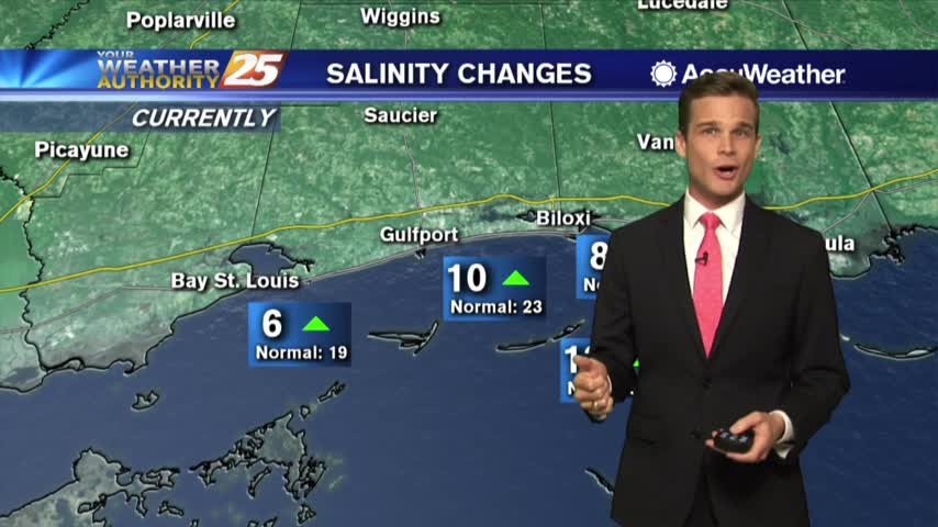
Hot & humid to start the month...and an update on salinity levels.
This afternoon will be hot, humid and there could be a popup up shower or t-storm, but most will be dry.
Not as bad this afternoon with cloud cover, but the heat returns soon... the tropics remain quiet.
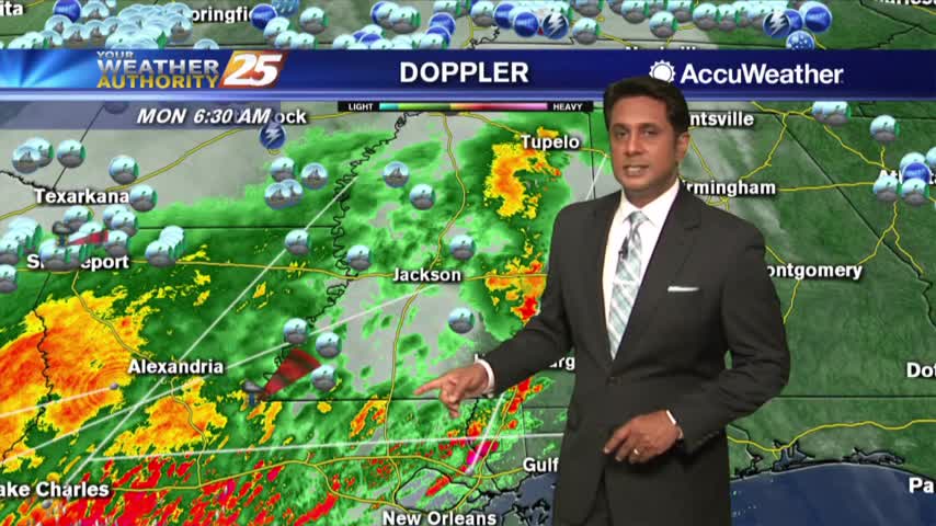
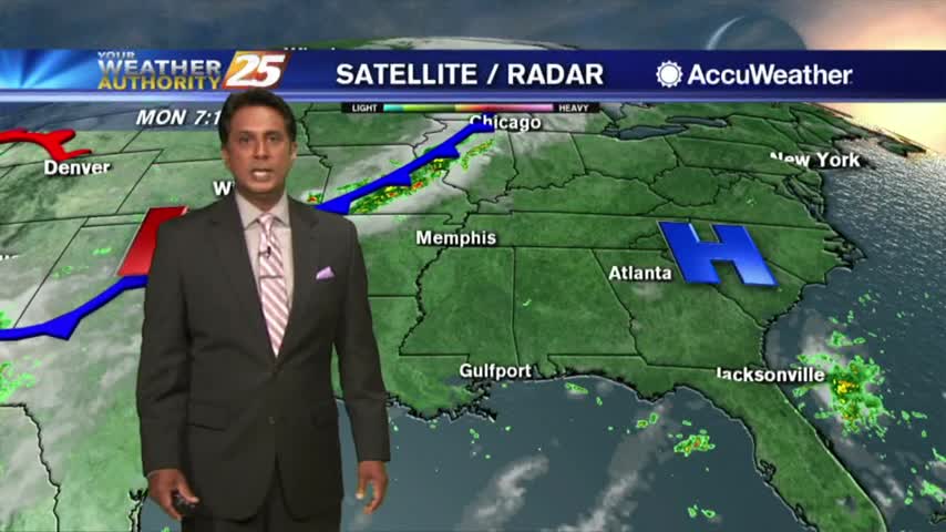
Early this morning, regional radars show a line of thunderstorms moving into the area
Stuck in the summertime pattern. Hot, Humid and Stormy
The low humidity from last week is out of the area as a typical Summertime pattern returns...
We welcome the cold front later this evening!
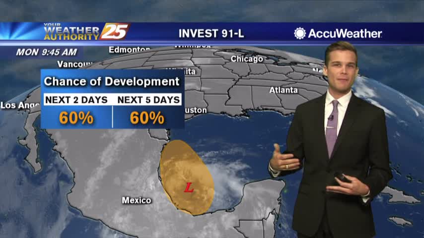
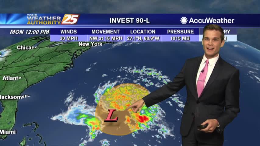
Monday Afternoon Update on Invest 91-L
Feeling like Summer out there...Also watching a disturbance in the Atlantic.

The Wolf River is expected to crest near record levels Monday night into Tuesday morning
A mild and clear start to the day/workweek...
A little patchy fog possible tonight...Tuesday looking nice.
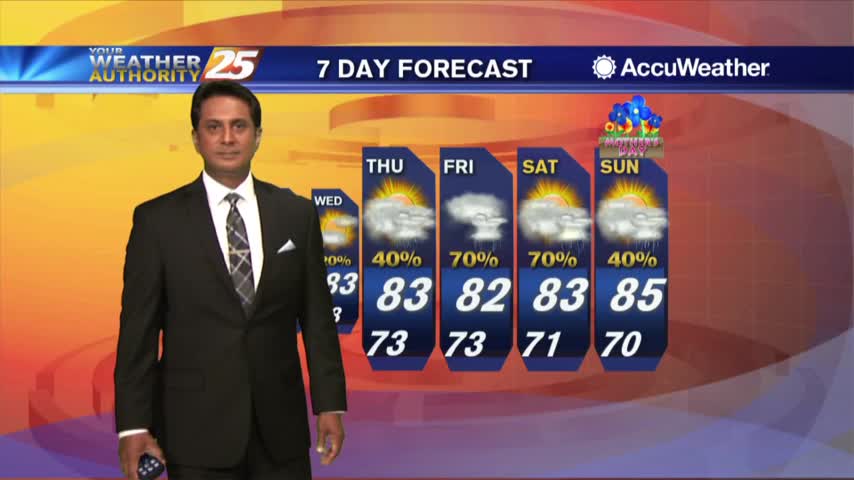
The perfect weather is about to come to an end, but overall the extended forecast isn't bad.