5/22 – Jeff Vorick’s “Clearing” Monday Evening Forecast
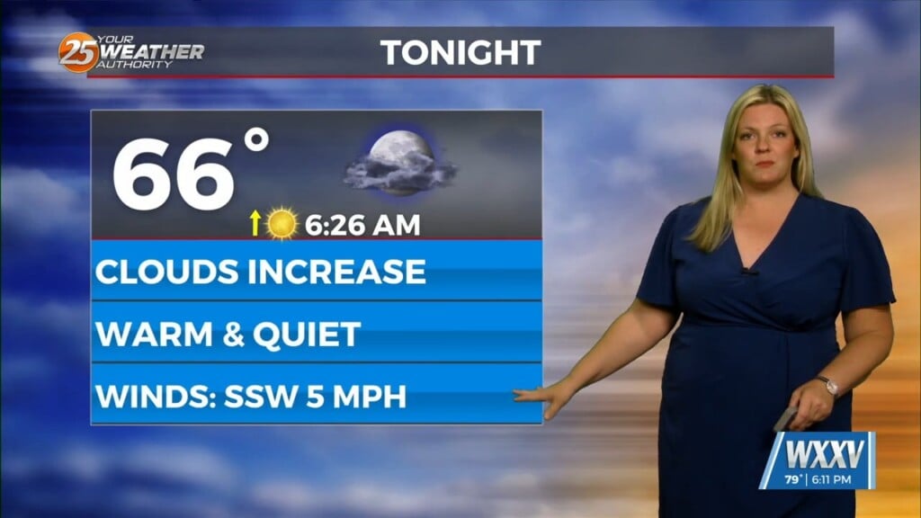
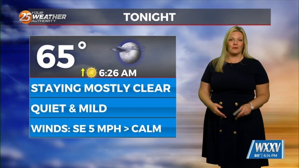
Clouds gave way to more sunshine this afternoon across South Mississippi. Clouds will continue to clear out into tonight. Northerly winds on the western side of low pressure to our east will continue for the next several days. With afternoon heating, a window of time where winds will become sea breeze dominant is there. Expect mild temperatures and decreasing cloud coverage tonight.
An area of disturbed weather associated with the low pressure will swing towards our area tomorrow. That will elevate rain chances to bring the potential for isolated thunderstorms with peak daytime heating. Rain chances are around 30% or so. Other than localized heavy rainfall and frequent lightning, there will not be much in the way of severe weather tomorrow.
Once the disturbance clears South Mississippi, expect skies to clear Wednesday and northeasterly flow to dominate. Milder conditions with somewhat lower humidity will be on the table Wednesday and Thursday. Towards the end of the week, there is the possibility of another system swinging into the area. Rain chances will be around into the weekend.


