5/9 – Jeff Vorick’s “Scattered Rain” Tuesday Evening Forecast
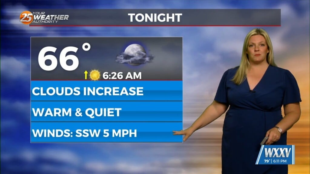
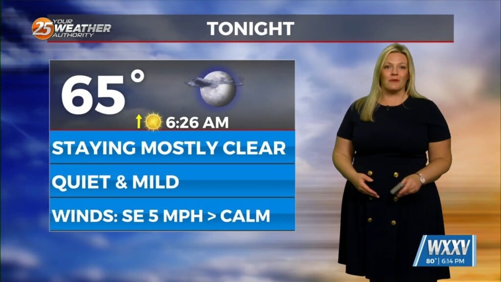
Isolated shower and thunderstorm activity will diminish through the evening as the best coverage remains west of here. Expect warm and muggy conditions to continue overnight. Very low-end shower chances of 20% are in place overnight. Patches of light fog are primed to develop yet again. An area of low pressure sits to our west and that will factor into the weather pattern for the South.
The pattern will revolve around the low pressure moving to the north from coastal Texas. Coverage of showers and thunderstorms will be limited to pop-up activity Wednesday. Warm conditions with some breaks in the clouds will be around by tomorrow afternoon. Showers and thunderstorm to our northwest could move in for Thursday. A thunderstorm complex may spawn and track into our area.
Timing is uncertain at this time but it is most favorable for thunderstorm chances to increase by Thursday afternoon. There is a 40% chance of rain Thursday at the moment. Eventually, high pressure takes hold of the pattern by this weekend. It is looking like the weekend will be beautiful.


