7/14 - Jeff's "Hot & Unsettled At Times" Weekend Forecast
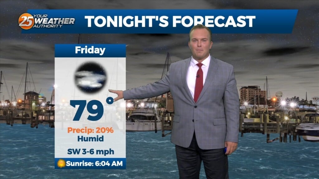
Thunderstorm chances this evening will move out and skies will also clear somewhat. Humidity will remain uncomfortable to start your weekend. A Heat Advisory will be…
Thunderstorm chances this evening will move out and skies will also clear somewhat. Humidity will remain uncomfortable to start your weekend. A Heat Advisory will be…
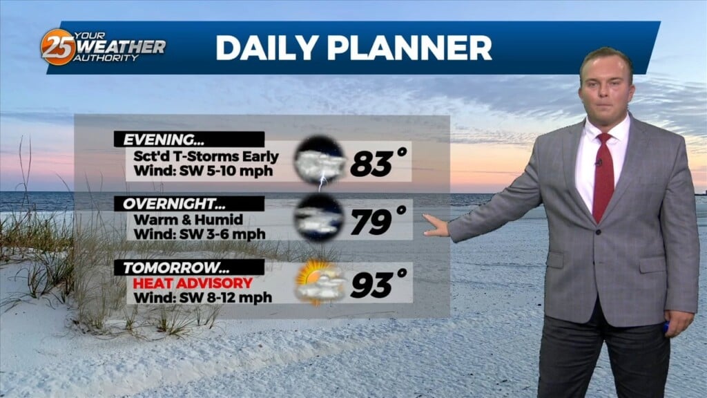
A Heat Advisory is in effect until 8 PM for heat indices between 105 and 110 degrees. This evening, thunderstorm chances will be elevated for a window…
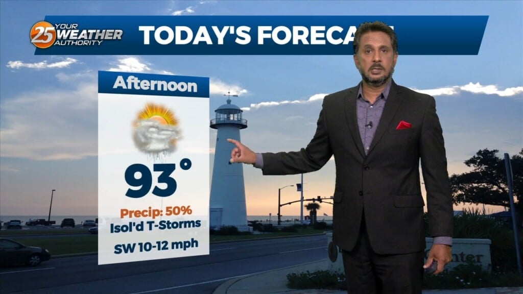
A HEAT ADVISORY is in effect until 8PM for today as dew-points in the mid to upper 70s support heat index values of 105 to 110 degrees…
An area of strong high pressure will extend eastward into our area and induce both warming and drier air. We will still have the chance of…
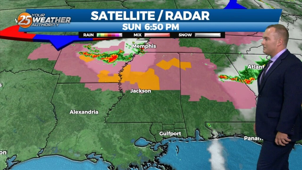
The hot and very humid pattern has arrived. A Heat Advisory will be in place between 11 AM and 7 PM tomorrow for heat index values around…
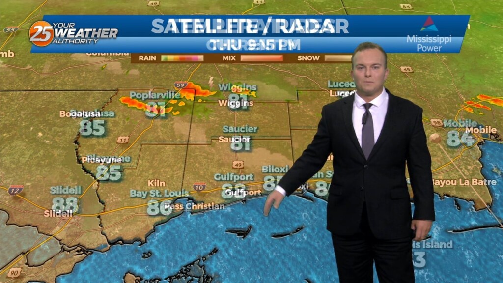
It will remain warm and humid overnight with southerly winds continuing. A 20% or so chance of a shower or thunderstorm cannot be ruled out. A thunderstorm…
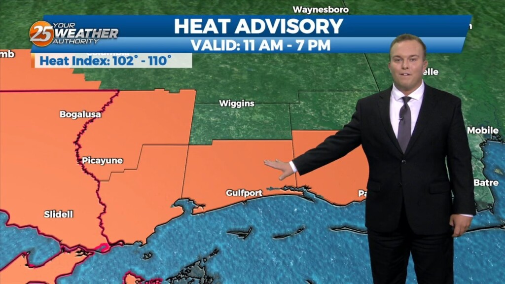
Isolated thunderstorms are possible this evening due to the favorable environment. There is the potential for a strong thunderstorm or two as well. Other than rain…
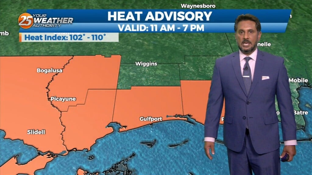
A Heat Advisory is in effect for our area from 11am to 7pm. This afternoon looks to be somewhat similar to the last day or…
Hot and dry again for most of the day today. Focus late this afternoon and evening will be on convective development to our north and east, with short-range…
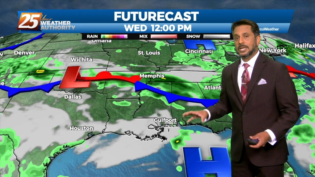
The focus late this afternoon and evening will be on convective development to our north and east, with short-range guidance identifying a zone of low-level convergence oriented…

Hot and dry again on today for most of the day. No real distinct changes in the overall profile of the atmosphere. This subsiding dry layer has…
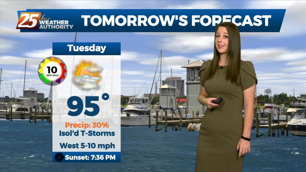
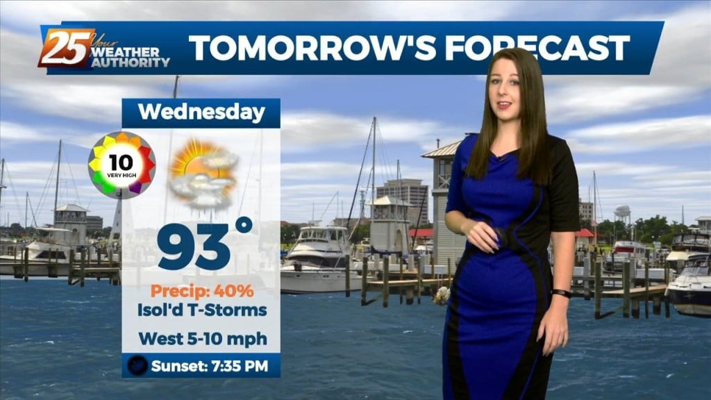
The main focus of the short term forecast will be the warmer temperatures heading into Tuesday and likely again Wednesday. It has been a while since we`ve…
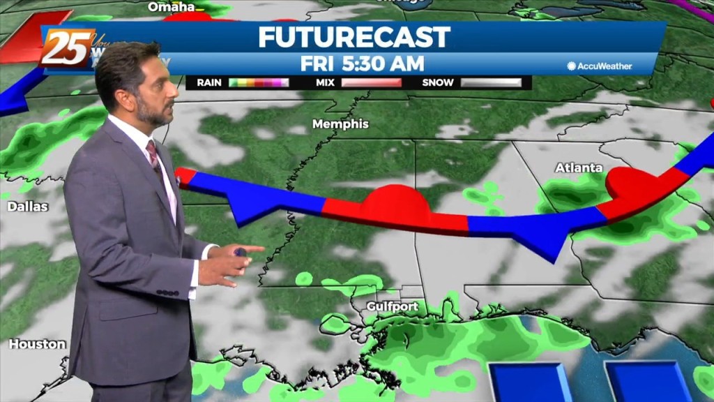
High pressure centered over southwest builds east today and dominates the weather pattern through the short term bringing more normal summer conditions of rain…
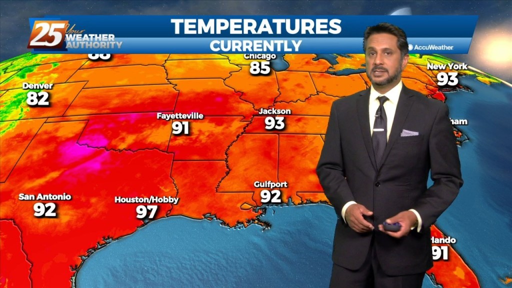
A Heat Advisory is in effect... The upper level high pressure will gradually continue to get stronger from west to east across the region. That and a continued…
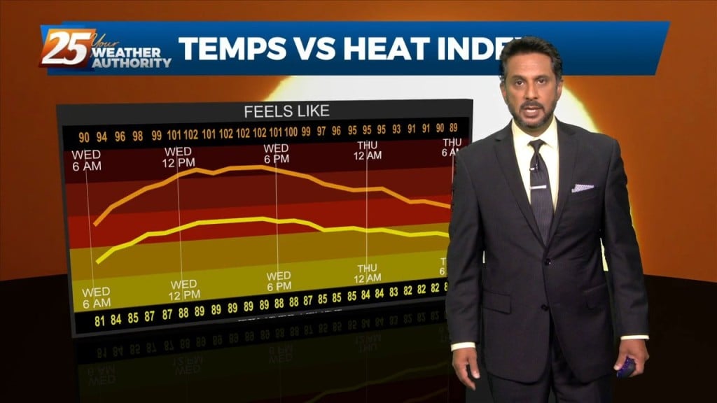
The focus early in the forecast will be the topic of heat. Heat Advisories were needed yesterday as compressional heating gradually increased, especially over the western tier.…
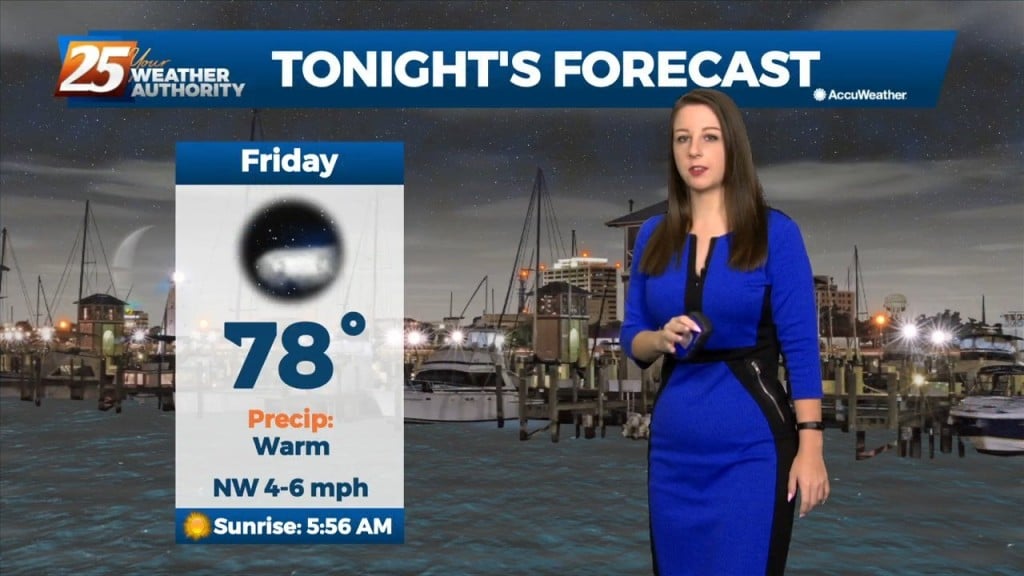
Heat will be the biggest concern through Saturday. There will be the potential for an isolated to scattered shower/storm tomorrow late afternoon and early evening, which could limit…
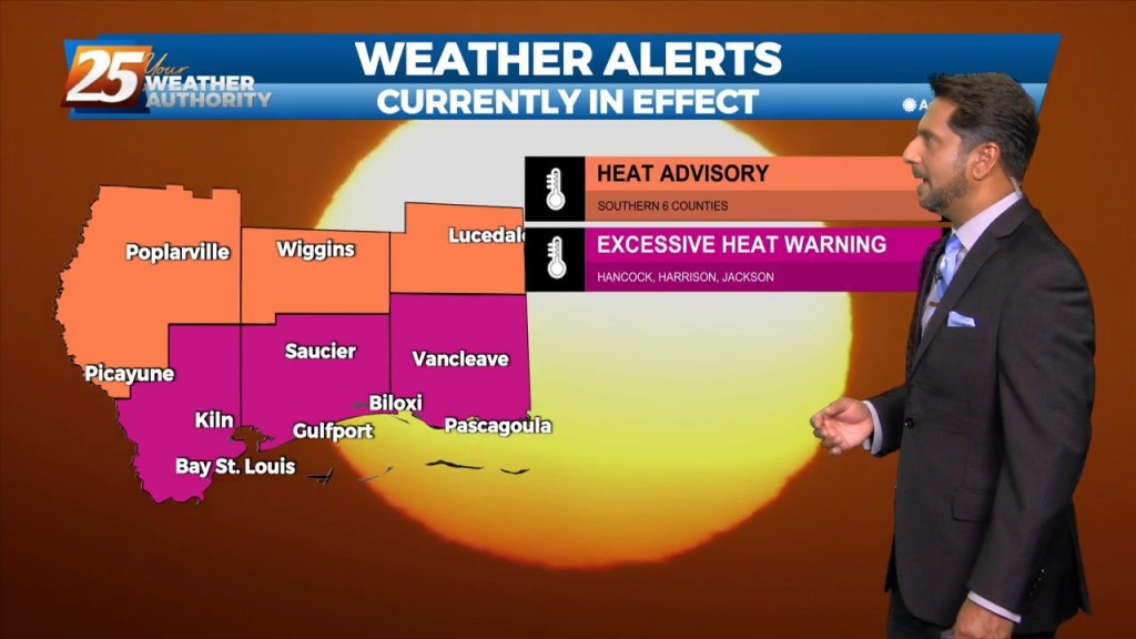
Heat will be the biggest concern this afternoon through Saturday. The high pressure is still building/staying over our area, and general convection appears to…

High pressure continues to dominate the upper level pattern. Heat will be the biggest concern tonight through Saturday. The high pressure is still building/staying over our…
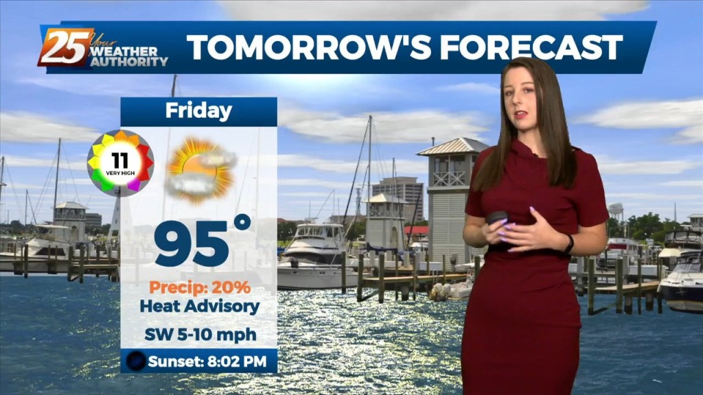
Not a lot is going to change between now and Saturday other than subtle changes. The heat will remain into the weekend but some changes are on the way…
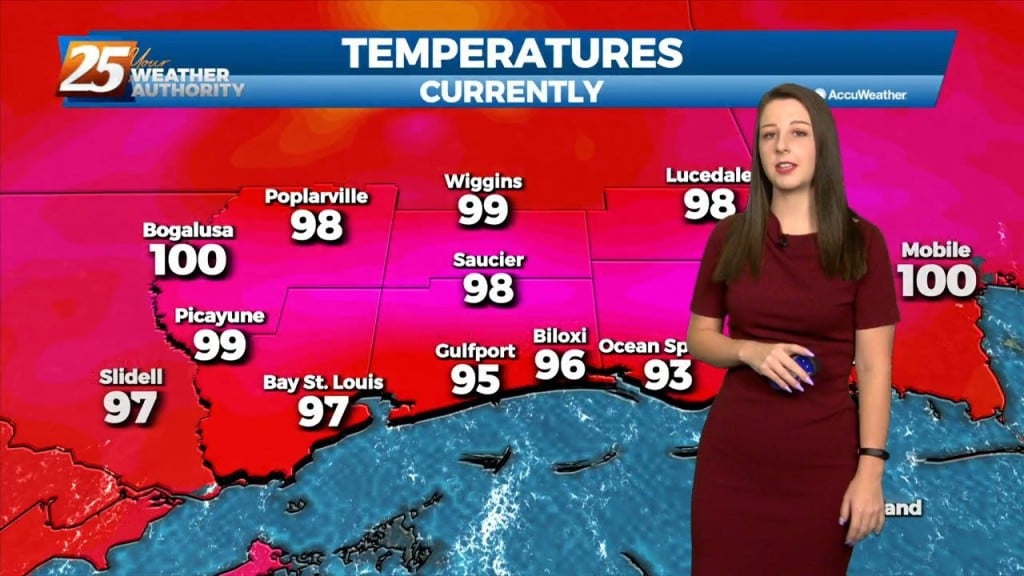
Not a lot is going to change between now and Saturday other than subtle changes. The heat will remain into the weekend but some changes are on the…
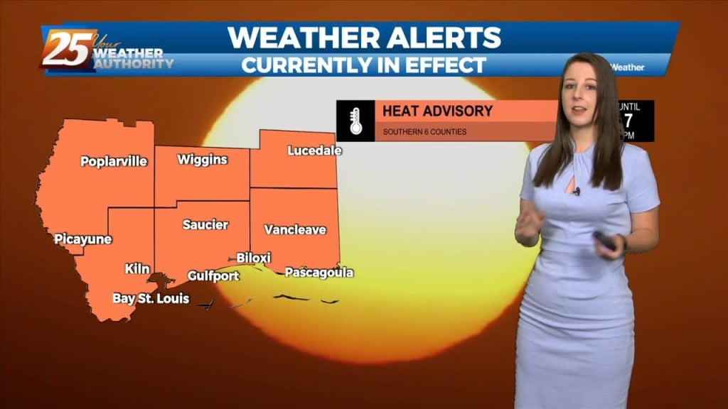
A HEAT ADVISORY IS IN EFFECT This afternoon will bring somewhat warmer Heat Index temps and lower number of showers/t-storms. Placement of highest concentration will also…
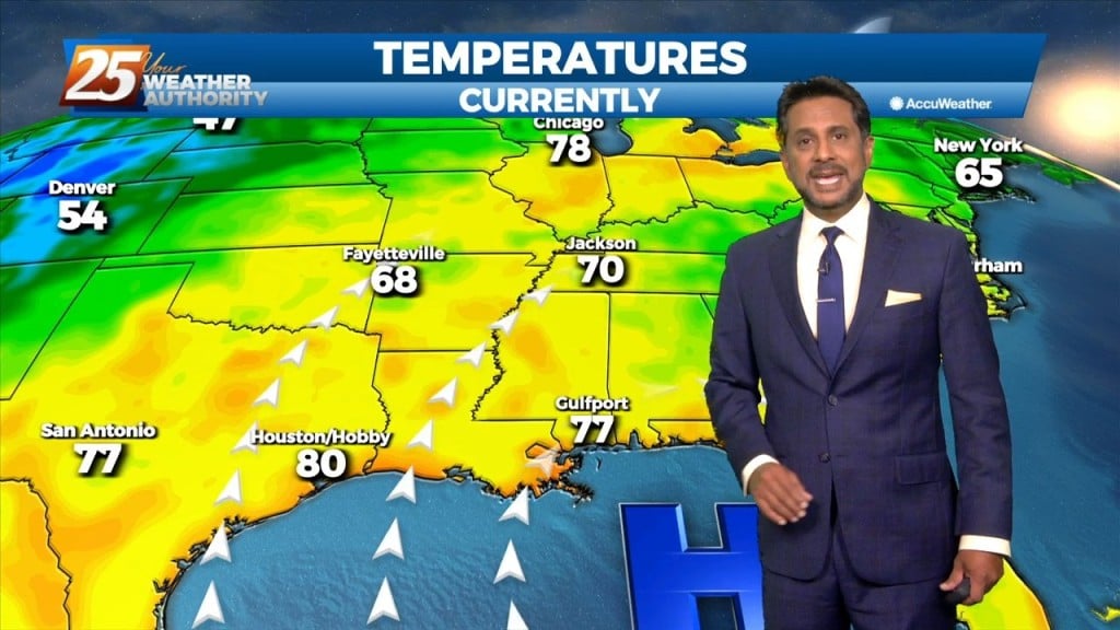
There are some subtle differences from yesterday as a heat advisory for today with somewhat warmer Heat Index temps and lower number of showers/t-storms. Placement of highest…

Bottom line up front...it`s going to be hot. Heat Advisory will be repeated for today. We`ll be going day to day on the actual product issuances, but a Heat…

Upper ridge will shift westward over the next several days as troughing digs into New England. Another weak shortwave moving westward around the ridge will have the potential…