
6/13 - Britt's "Heat Advisory" Monday Afternoon Forecast
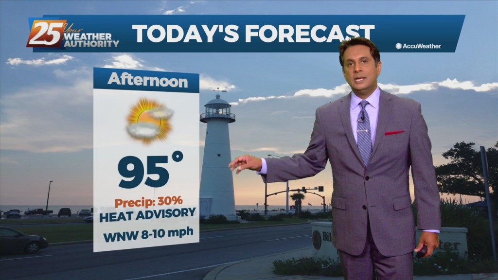
Today, look for the heat to continue with possibly a rogue storm or two near the coast. Hot temperatures and high humidity will be the main focus of…
Today, look for the heat to continue with possibly a rogue storm or two near the coast. Hot temperatures and high humidity will be the main focus of…

Today, look for the heat to continue with possibly a rogue storm or two near the coast. Hot temperatures and high humidity will be the main focus of today’s…
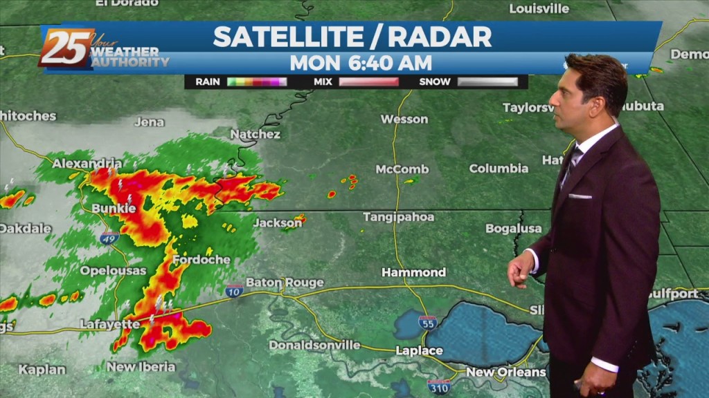
The upper level high-pressure centered along the northern Gulf Coast will continue to move south and weaken. An upper level trough digging across the Mississippi Valley and an associated surface cold front will drop southeast into the forecast area. Showers/T-Storms along…
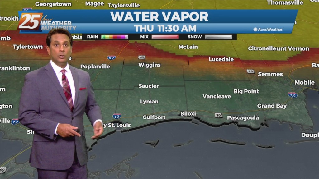
A cold front will continue to push south through the area providing dry air moving into the area. Despite the passing of the front, there will not be any noticeable cool off with highs staying in the upper 80s to…
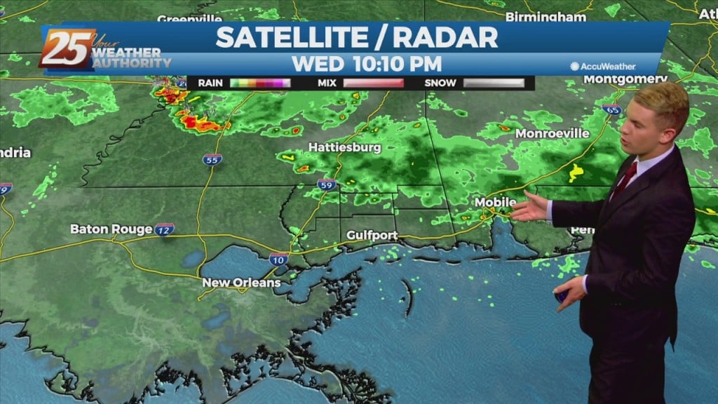
A stationary weak trough boundary from the remnants of Ida is still stalled along the northern Gulf coast of LA and MS this afternoon. With this system, there`s enough moisture in the region to support a few storms into the…
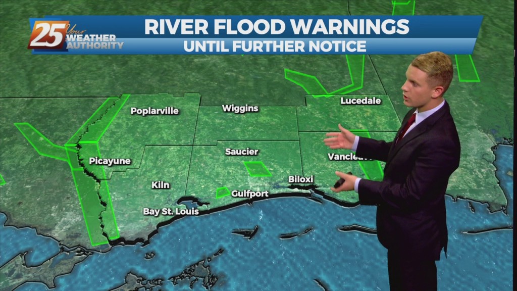
A stationary weak trough boundary from the remnants of Ida is still stalled along the northern Gulf coast of LA and MS this afternoon. With this system, there`s enough moisture in the region to support a few storms into…
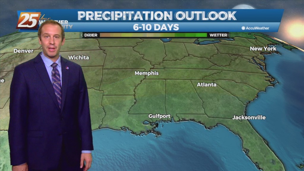
High-pressure slightly stronger than yesterday, is still centered along to just west of the TX/LA border and remains the biggest influence on the local weather. Its close proximity to the area means low rain potential and HOT TEMPERATURES. From a…
Yesterday we were under a heat advisory, but today that was upgraded further to an excessive heat warning. That means heat indices across South MS will lie between…
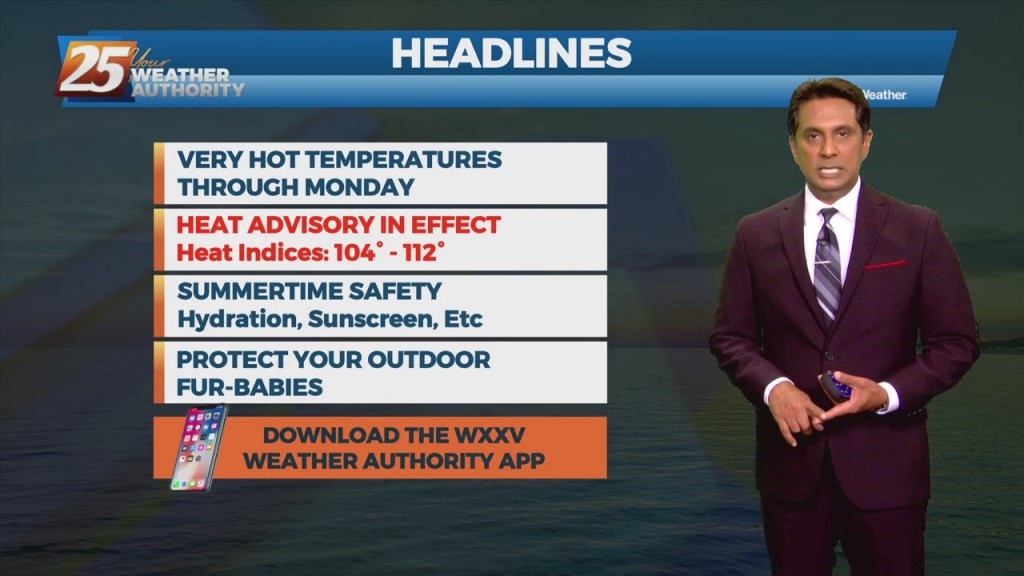
Today and Saturday, a robust high pressure system is expected to build over the region. Southerly to southeasterly surface winds will help to enhance warm air advection and moisture advection into the area. Isolated to scattered showers will be possible…
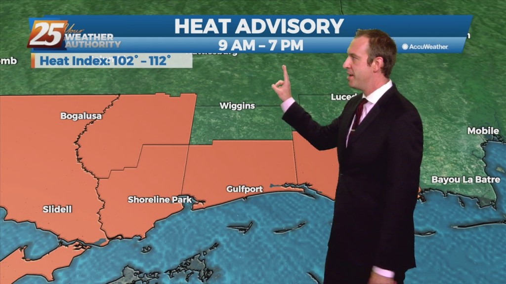
An heat advisory was issued today and is still active until 7 PM, and it won't be the last we'll see over the next week. We're in for…
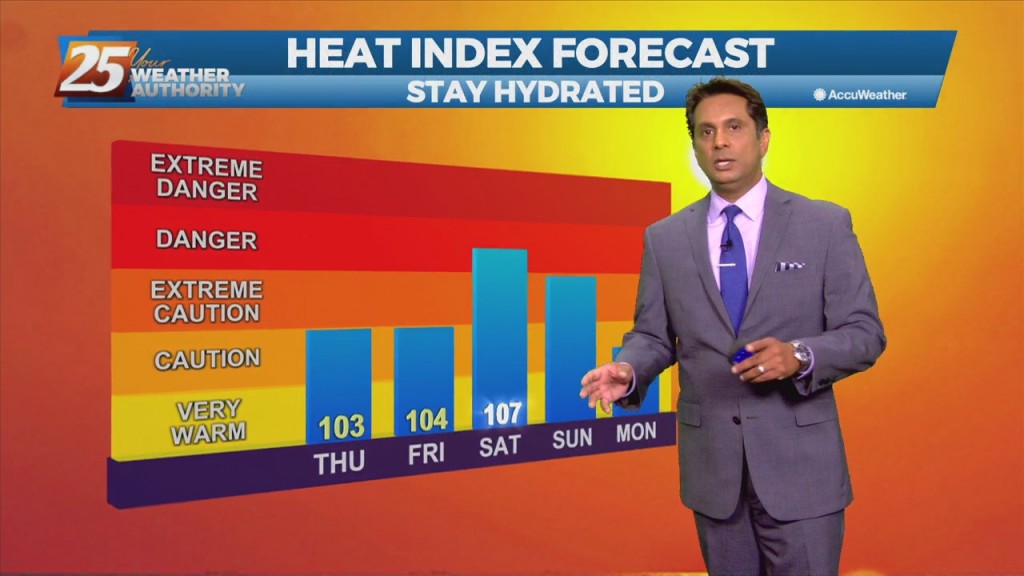
Today may actually be the coolest day of the next 3-4 days with highs climbing into the mid-90s across much of the area. Once we heat up the heat index values will climb and climb quickly with a good chunk…
Main focus in the short term will be on the potential for oppressive heat across the region. Today may actually be the coolest day of the next 3-4 days with highs climbing into the mid-90s across much of the area.…
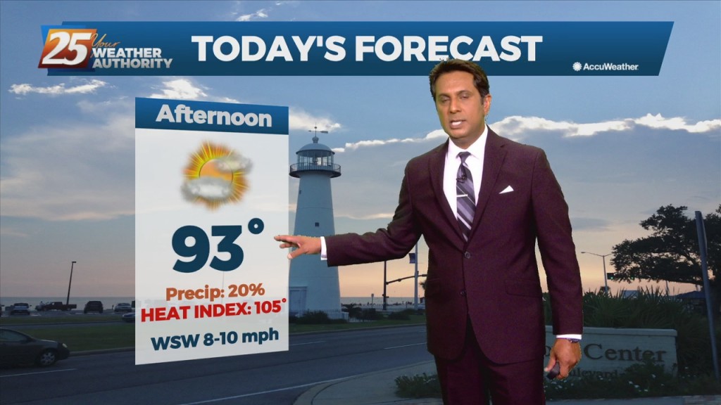
Summertime pattern continues over the next few days. An isolated shower will be possible this afternoon, with isolated to scattered Saturday and Sunday during the daytime afternoon and evening hours. These showers could have gusty winds and frequent lightning along…
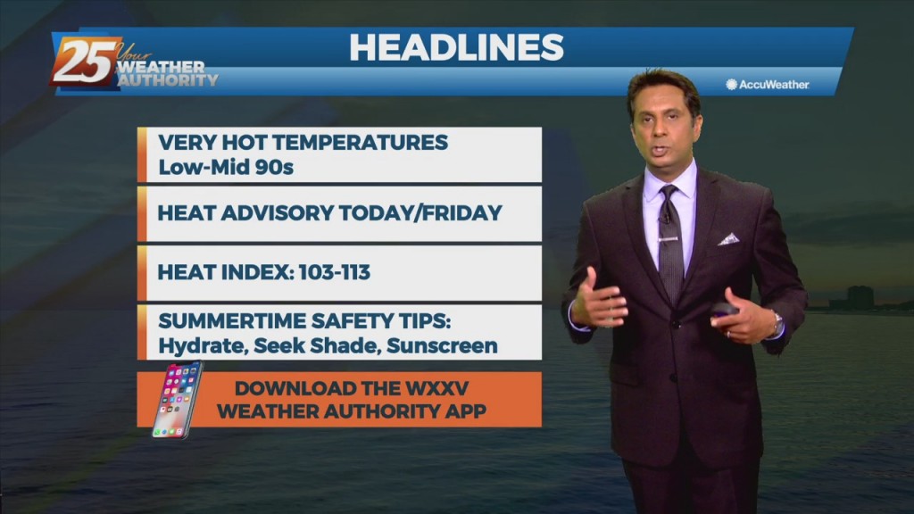
More of the same hot, muggy weather is expected to continue for the next couple of days. Afternoon and early evening showers will be possible over the next few days, with a slight elevation in precip chances into the weekend.…
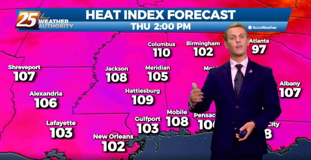
More of the same hot, muggy weather is expected to continue for the next couple of days. Afternoon and early evening showers will be possible tonight and the next few days. These showers will be isolated to scattered, and the…
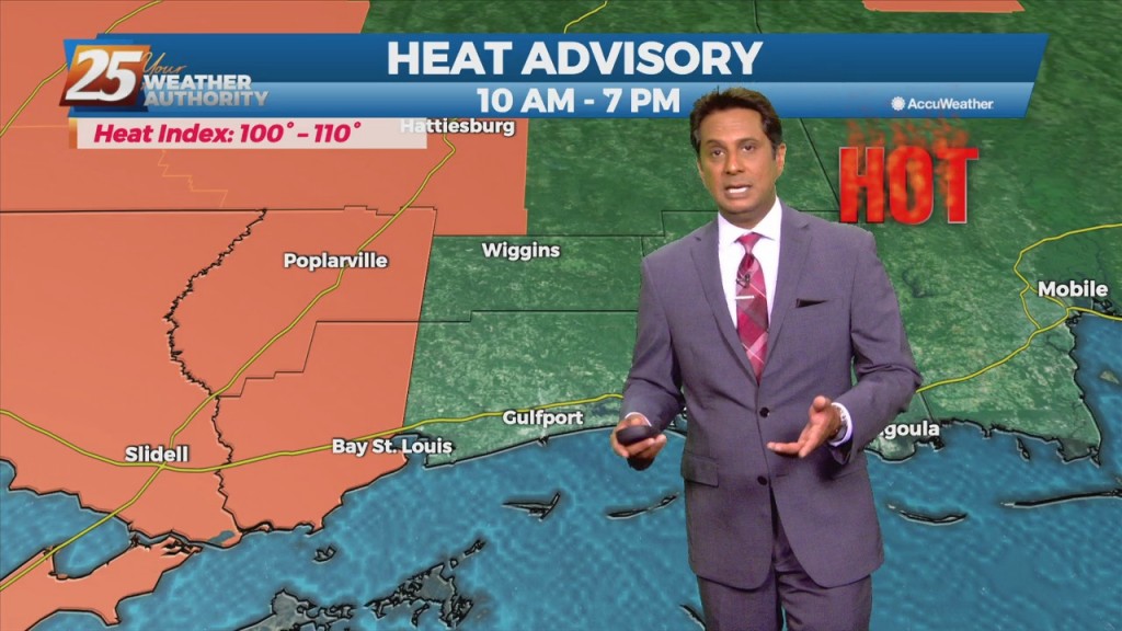
The main forecast concern continues to be the heat. A return of moisture flow will be a bit more dominant beginning today so it looks like the heat will be a bit worse, especially at the end of the work…
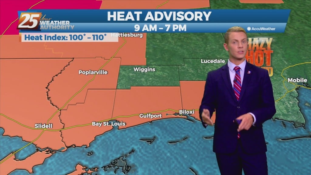
Humid air, warm temperatures, and light winds will keep the current heat advisory posted through today. The main hope for cooling will be from any thunderstorm development, which will be embedded in a deep easterly wind flow. The daily afternoon…
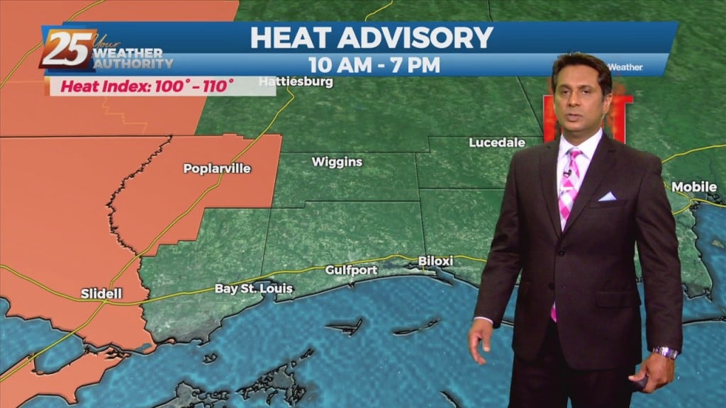
The expansive mid to upper level high pressure area will remain just off to the north and west of the region which will keep the forecast area in a battle between very warm/hot low level temperatures and scattered diurnally driven…
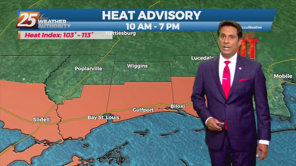
Today through the weekend HEAT will be the primary concern. At this time it appears that today - Sunday has the best chance of seeing heat index values approaching the 110 mark and greater. With high temperatures expected to max…
High temperatures are expected to top out in the mid to upper 90s once again across the Gulf Coast. Another Heat Advisory is in effect for all of South Mississippi until 8 p.m. Tuesday as heat index values are expected…
Another hot and muggy day is on tap for the Gulf Coast! High temperatures should get up to around 95 degrees, but humid air will make it feel like it’s close to 110 degrees. A Heat Advisory is in place…
A warm and muggy start with a few overnight showers/t-storms moving SE across the area...

Looking ahead to tomorrow, the weather pattern and setup for heat really doesn`t change with high pressure both at the surface and aloft dominating. The main difficulty is forecasting the areas that keep upper 70s to near 80 dewpoint temperatures…

Looking ahead to tomorrow, the weather pattern and setup for heat really doesn`t change with high pressure both at the surface and aloft dominating. The main difficulty is forecasting the areas that keep upper 70s to near 80 dewpoint temperatures…