01/19 Ryan's "Much Warmer" Friday Forecast
The warming trend that began yesterday continues through today, tomorrow, and into next week. We'll see another cold front by Monday though, click the link for details.
The warming trend that began yesterday continues through today, tomorrow, and into next week. We'll see another cold front by Monday though, click the link for details.
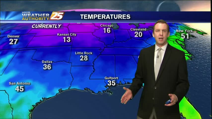
We've had several days of warm and humid weather, and we're making up for it tonight as last night's cold front has brought wind chills as low as 20 degrees. It only gets colder this weekend, click the forecast link for more.
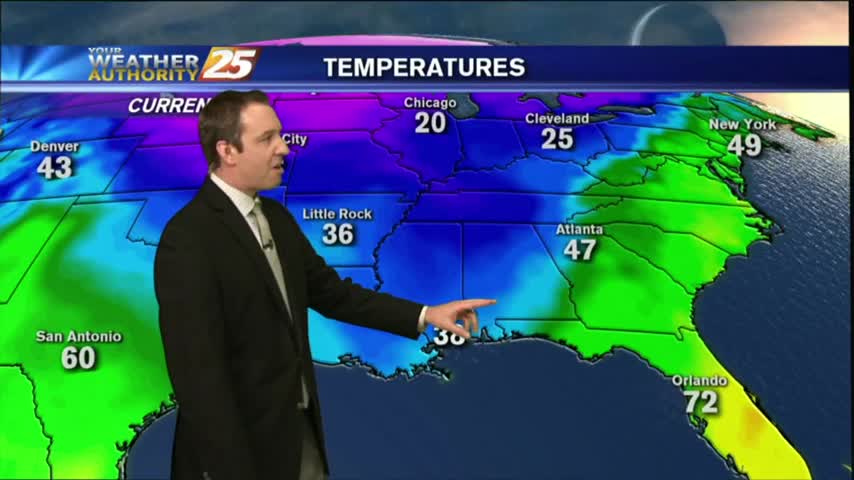
Last night's cold front has moved on, but it's Arctic airmass is moving in quickly. Click the forecast link for the details.
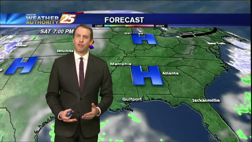
Today was the last afternoon below 50 degrees and tonight will be the last evening below freezing for at least as week as warmer, wetter air moves in rapidly through the weekend. Watch the full forecast for more.
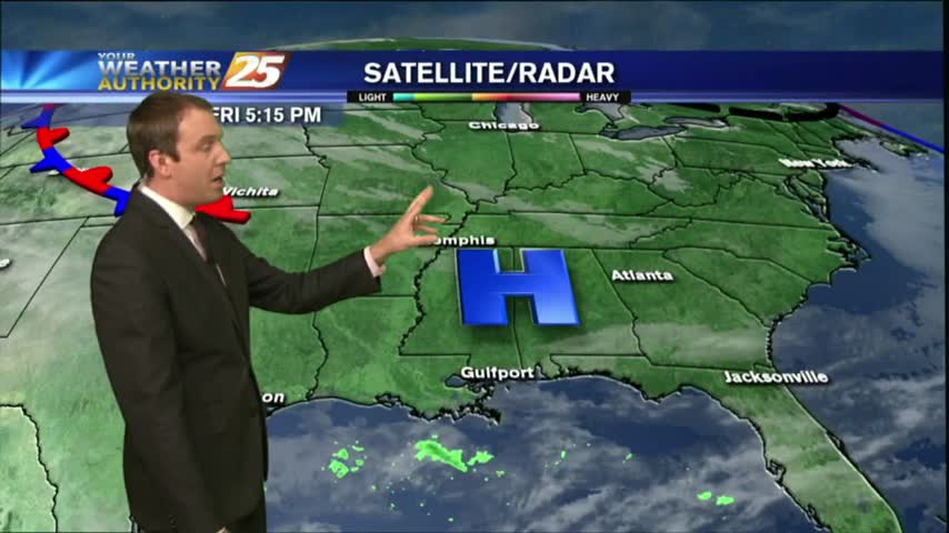
Today remained in the upper 40s as expected, and we'll see one more night at or below freezing before our evenings warm drastically. Click this forecast link for more information.
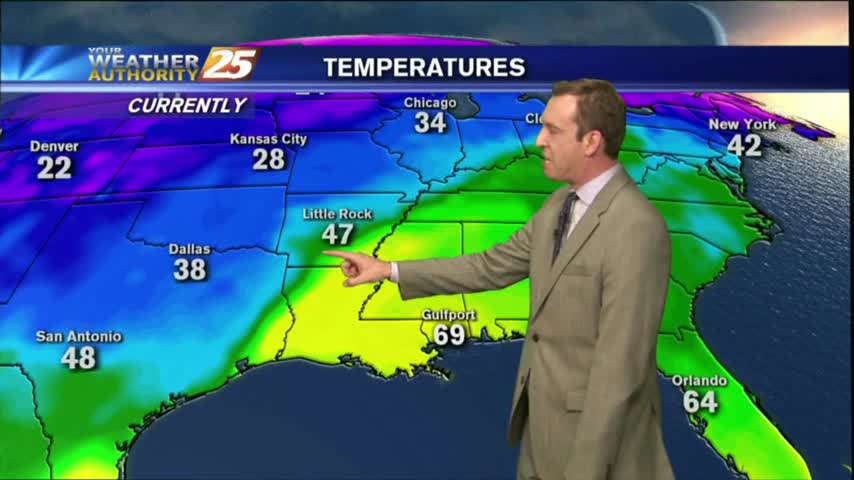
An approaching cold front will bring rain tomorrow and much cooler/drier conditions by Christmas, but we have one more foggy night ahead before that. Watch the full forecast for more.
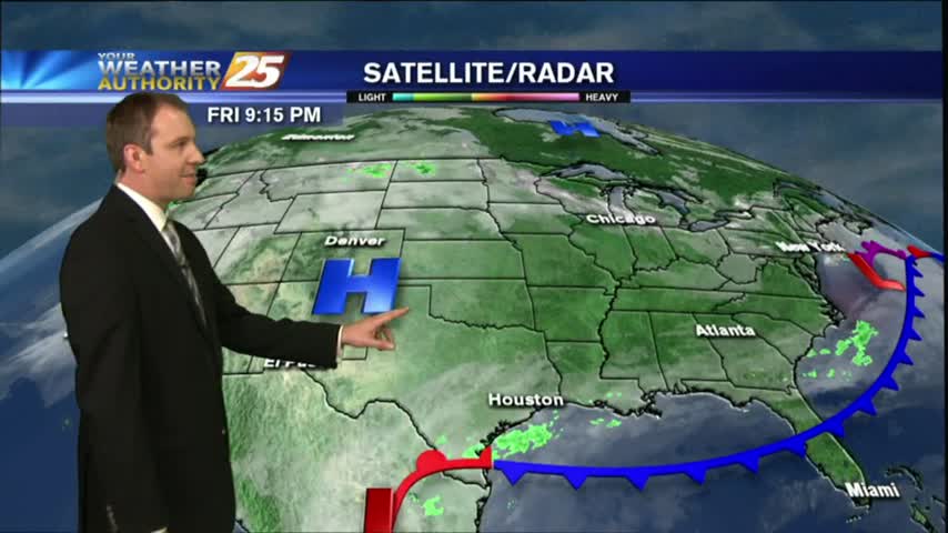
It'll be colder tonight than it's been the last few, but not the coldest weather we've seen recently. Inland areas will flirt with freezing tonight, but we'll be back in the 70s by Sunday. Details within.
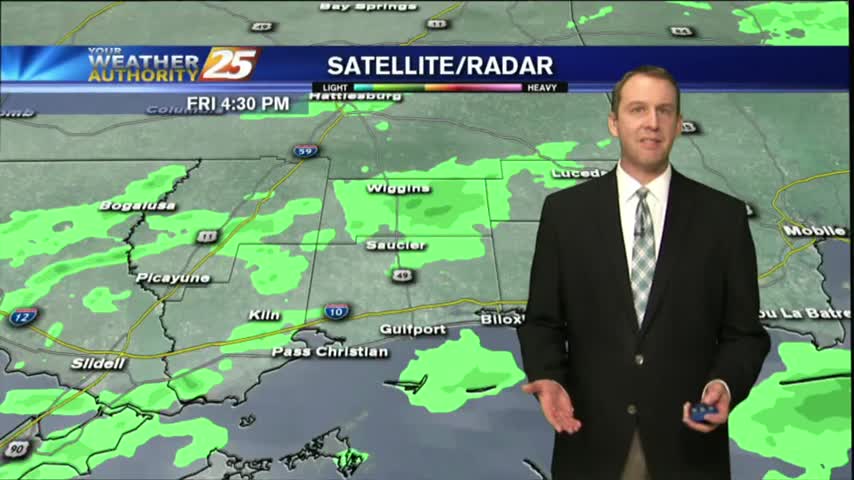
It was as gloomy as expected and just a little colder and wetter. Expect all of that to change as we warm drastically through tomorrow and active weather moves in. Click the link for more.
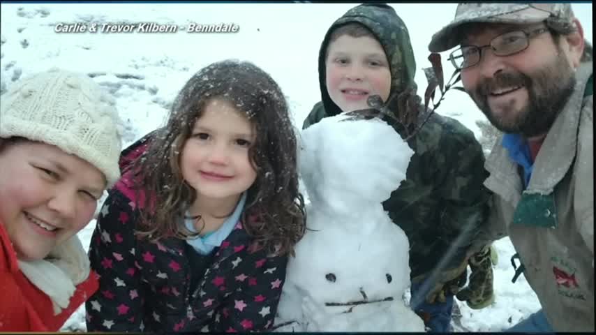
The winter weather has moved on, but even colder conditions are moving in as cooler and drier air forces the active weather from the area. Watch the forecast for the full forecast.
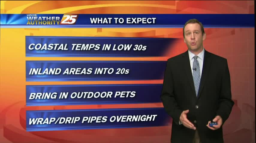
As we finished the afternoon shows earlier today the winter weather was beginning to taper off, but the coldest temperatures are still coming in. Watch the full forecast for details.
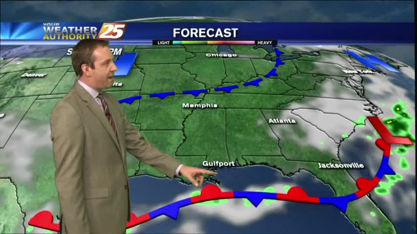
As expected, dense fog advisories have now been issued for all coastal counties and surrounding waters so get ready for another night of low visibility. Click the forecast link for more information.
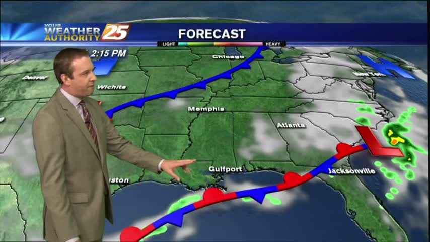
An overnight front didn't do much to dry out our air, and fog will still be an issue tonight. Be sure to watch the full forecast for details.
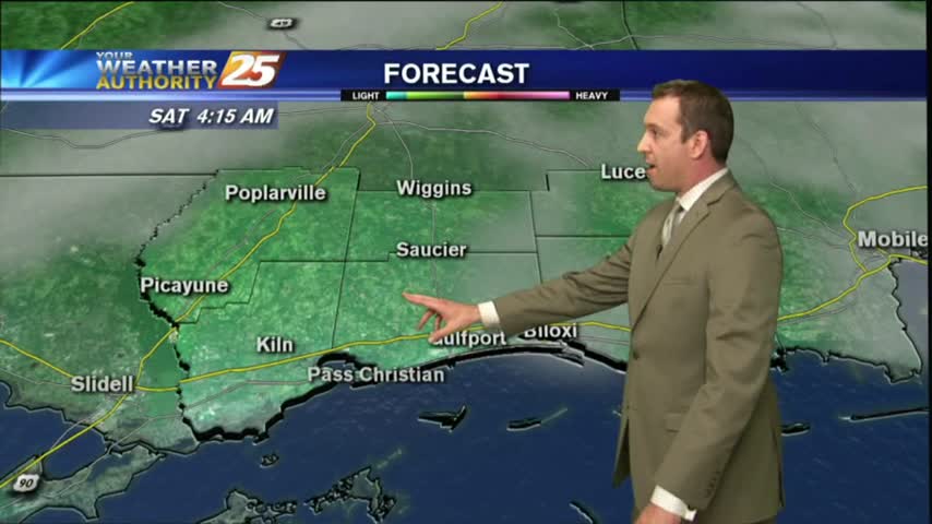
Slightly warmer tonight, and that's a trend that will continue for the next day or so before another quick cool down. Watch the full forecast for details.
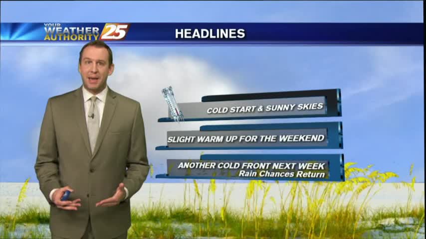
Last night was as cold as we've been since early this year, but we'll warm over the next day or so before another slight cool down. Watch the full forecast for more.
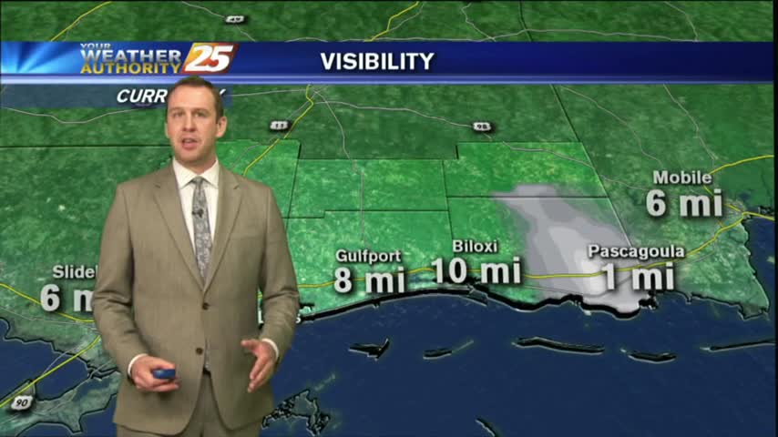
The last week has brought us very similar weather, but tonight will be the last of those and significant changes will begin soon as a front moves in. Click the forecast link for the full forecast.
We're almost to the weekend that will bring a cold front and considerable cooler/drier air to the area. Watch the forecast for the details.
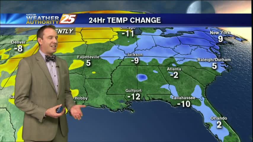
It's going to get COLD tonight as lows dip into the upper 40s again, but we'll warm up again by the beginning of next week just in time for another cold front. Watch the full forecast for details.
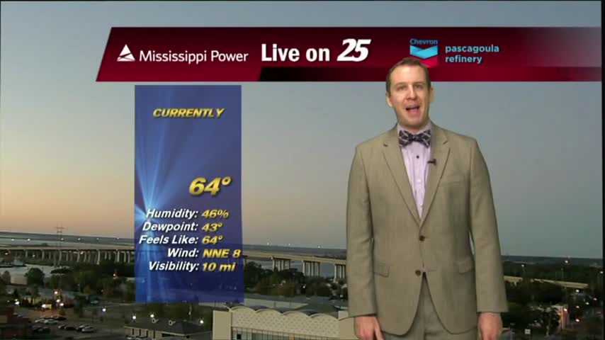
No active weather expected for a couple of days now that the high pressure has settled into the SE, but we'll see some slight warming. Watch the full forecast for details.
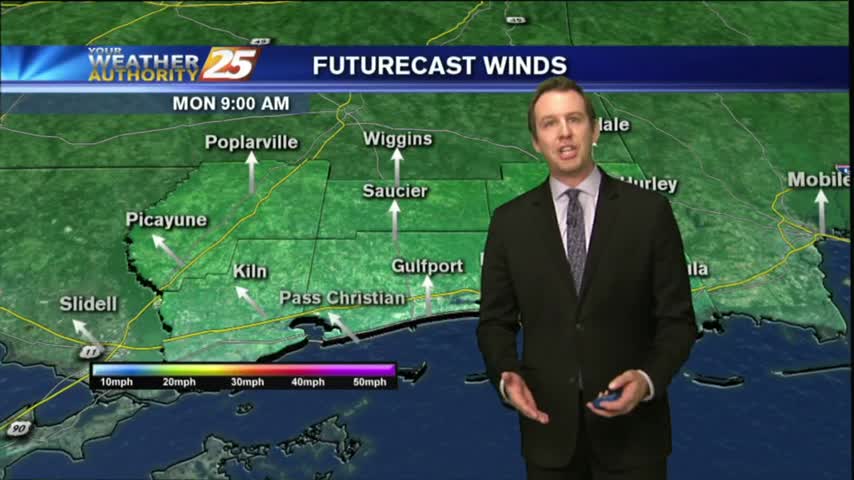
It definitely feels more like summer than fall right now, but that's honestly not too bad...just unseasonably warm and humid. Click the link for the full forecast.
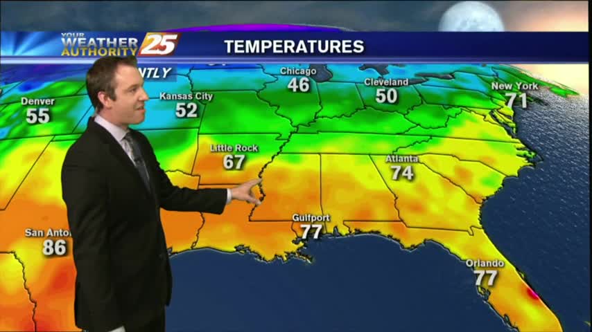
The fog we've been expecting all week long finally arrived last night, and will continue through the weekend. Watch the full forecast for the details.
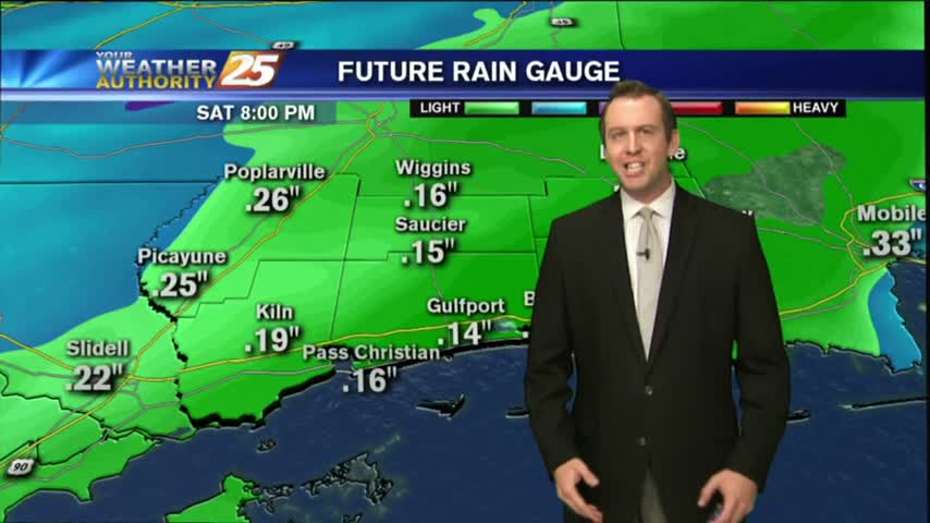
The front we've been expecting all week long is finally here, but the severe weather threat has diminished as the day wore on. Be sure to watch the full forecast for details.
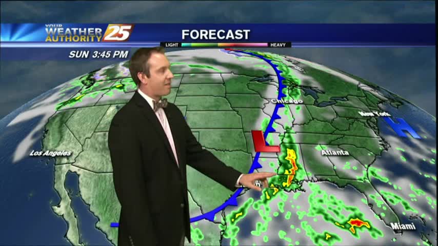
The cold front we've been expecting all week is finally moving in and we'll see some potentially strong t-storms tonight. Click the link for the full forecast.
Our nice run of fall weather is already coming to an end as the temperature and humidity continue to increase ahead of a Sunday cold front. Watch the full forecast for details.
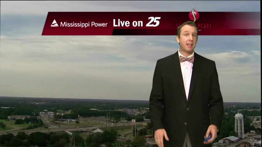
More clouds moved in today and we'll see even more tomorrow, as well as a chance of afternoon showers and t-storms. Watch the full forecast for details.