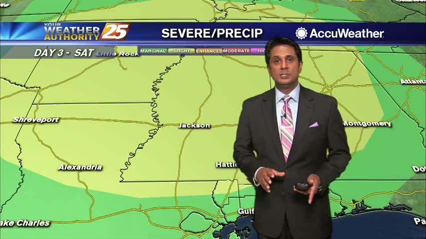
5/7 - Rob Knight's "Big Changes Ahead" Morning Forecast
A CHILLY start this morning as very low humidity continues to affect the area...
A CHILLY start this morning as very low humidity continues to affect the area...
Another cool start to the day as temperatures will slowly warm back to above seasonal...

Rain with patchy dense fog continues through the area and much of the region...

Light rain continues with a few t-storms possible this afternoon...

Sunshine is peeking through the clouds as temperatures warm into the 70s...
After a FRIGID start, the air mass will slow modify as we close out the workweek...
Another FRIGID start to the day but the air mass will begin to modify later today...

A slightly warmer start to the day as the humid air is working its way back into the region prior to a cold front...

Another humid start with areas of light patchy fog along the coastal counties...

Temperatures are climbing into the upper 80s as spotty showers develop south and north of the area...

A cloudy start to the day as potential tropical cyclone #2 continues to develop roughly 200 miles south of Mobile bay...

A very warm start to the day with a few upper-level clouds moving in from the west...

Another amazing morning with lower humidity as a reinforcing cold front is now to our east...

Warming temperatures continues under sunny skies as a few clouds are developing along the coast...

Another very nice start to the day as temperatures are just a bit warmer than the past few days...

A very warm and humid start to the day with areas of patchy fog...

A few hours of a south wind yesterday afternoon is providing warmer temperatures this morning...

Spotty showers beginning to develop as the cold front is moving closer to our area...

Winds tapered-off last night but still in the mid teens as the cold front has slowed down to our west...
Another CHILLY start to the day but the warm-up will begin later this afternoon...

A few stray showers across south Mississippi with a disturbance north of the area moving east...

Another VERY WARM start with elevated humidity and WIDESPREAD DENSE FOG...

Another warm and humid start to the day with DENSE FOG confined to the coastal counties...

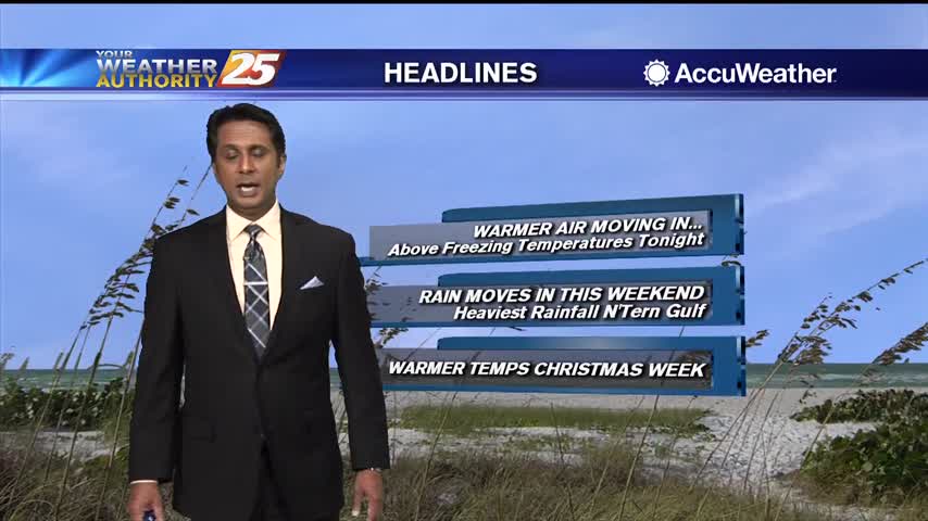
After a very cold start to the day, the return flow has begun with MUCH WARMER temps ahead...