04/23 Ryan's "Calm, Cooler" Thursday Night Forecast
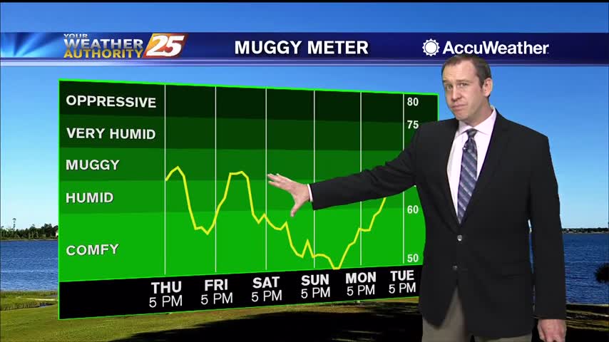
Don't expect significant cooling behind today's front, but it will feel much drier heading into the weekend.
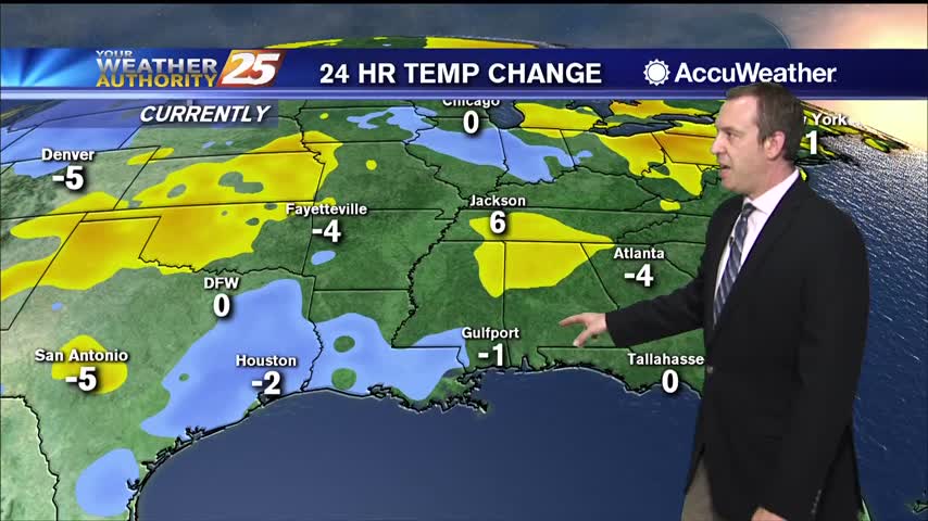
Don't expect significant cooling behind today's front, but it will feel much drier heading into the weekend.
Thunderstorms pushed through South MS early this morning bringing a possible tornado to George County, but things are clearing quickly into the night.
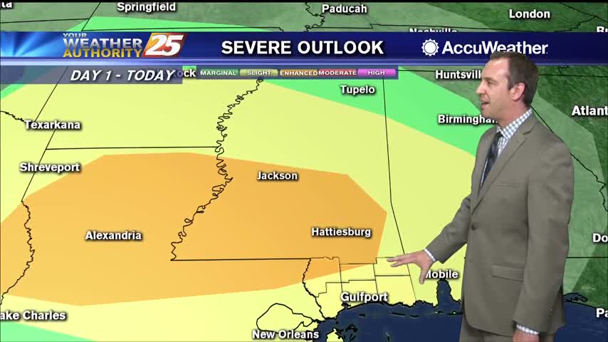
Expecting showers to get going a little after midnight, but stronger, potentially severe storms are likely before sunrise.
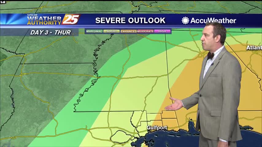
Things are calming down as we're in between frontal systems, but changes will come quickly tomorrow afternoon.
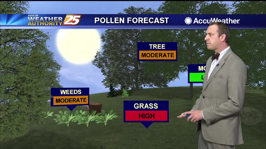
Today was warmer and more humid than yesterday, but we'll backtrack a bit after a week front tonight. That's all ahead of a strong front on Thursday though...
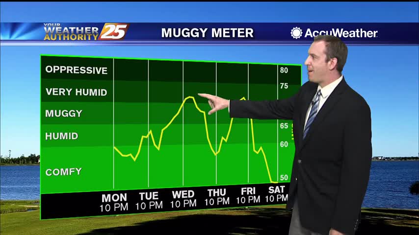
Expecting a cooler and drier night compared to our weekend weather after yesterday's front.
Cold front brought storms last night, but cooler and drier weather today!
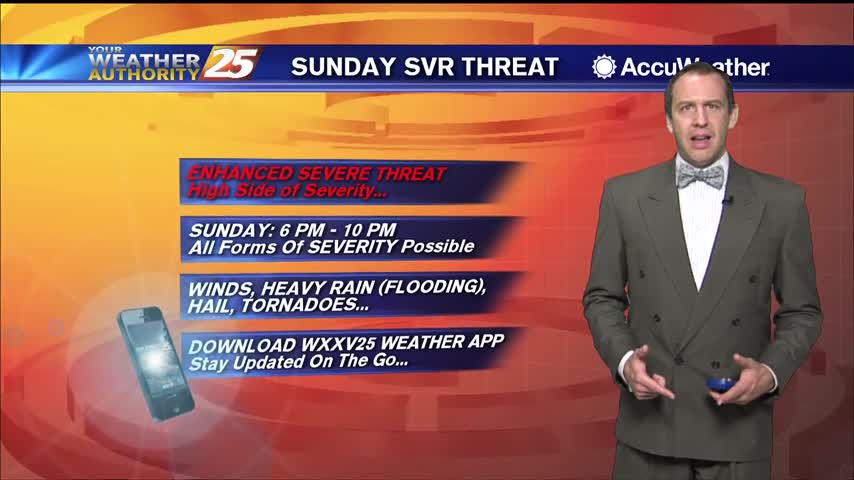
Much warmer and more humid today, and sadly it doesn't improve through the weekend...even gets worse as potentially severe weather moves in to start next week.
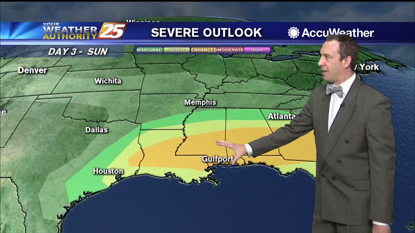
Wasn't much warmer and more humid yesterday, but today is a drastically different and the weekend will be even wetter.
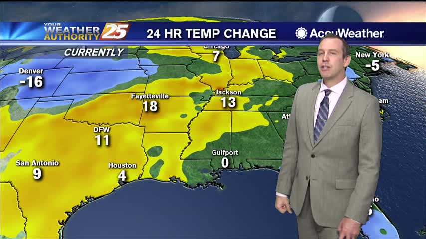
Little warmer and more humid today, but much more so as we head into the weekend. Even our first rain since last Sunday isn't far away.
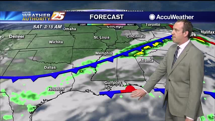
Another gorgeous day out there despite being slightly warmer and more humid, though both will increase rapidly into the weekend.
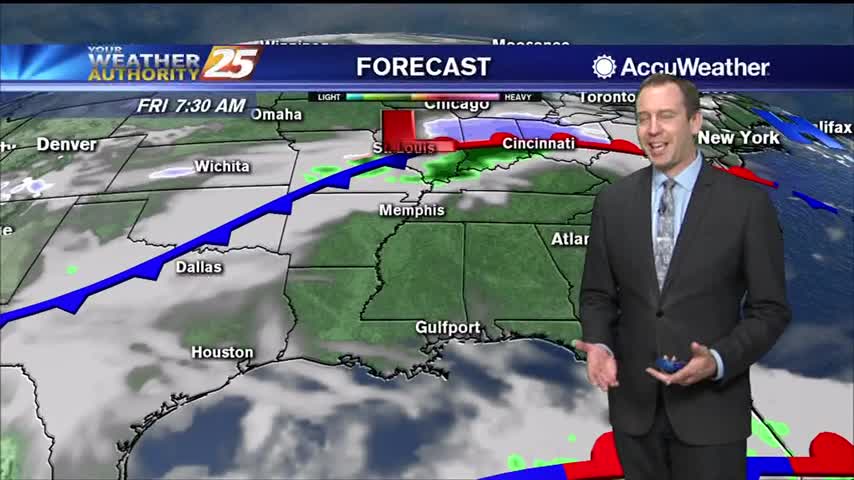
Pretty cool and dry today, but warm, humid, and cloudy weather with scattered showers will move in quickly ahead of the weekend.
Today was the coolest day of the next seven with the lowest humidity, but both begin to increase in the days ahead.
More cool, dry air is moving in, so expect the best day of the week tomorrow...but it does begin warming again after that as clouds gather for the weekend.
A slow-moving ridge will bring continuously cooler and drier weather for another day, but clouds and rain move in for the weekend.
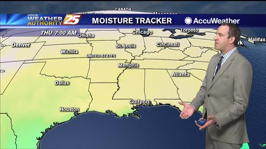
Still on the warm side today, but cooler, drier air will slowly filter in over the next few days.
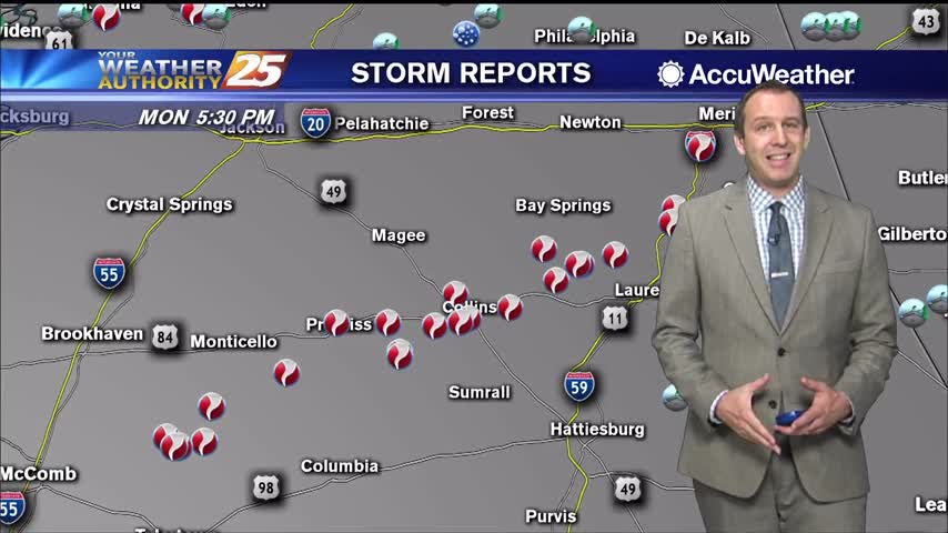
Strong storms moved through late last night, but not much happened in South MS other than a surge of drier air.
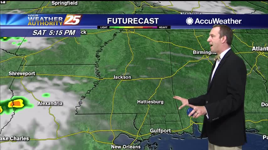
Pleasantly dry and cool weather will remain through tonight and the first part of tomorrow, but an approaching potentially severe storm will bring warm, humid conditions rushing back.
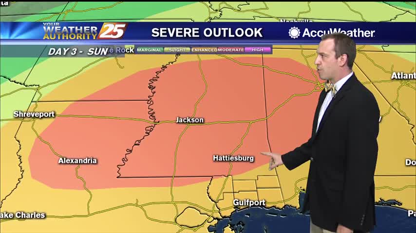
Dewpoints have fallen 30 degrees since yesterday after the cold front pushed through, but more warm, moist air and even storms are on the way.
It's been downright muggy almost every night this week, but cooler air is finally moving in.
Hot and humid weather led to some mid 90 heat indices today, but cooler weather is on the way!
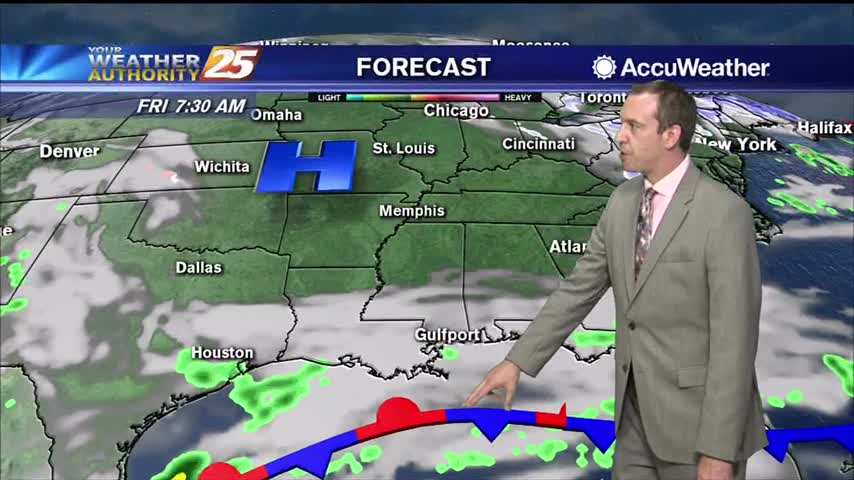
One of the hottest days of the year so far and a very warm night ahead, but cooler...relatively drier air is on the way.
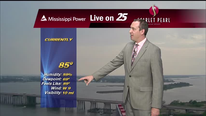
Our highest high in quite some time coupled with today's humidity lead to some scary looking heat indices today, but cooler weather is on the way...just looks like it'll be stormy too.
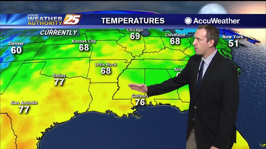
More warm, low visibility conditions moving in tonight with very little change in the days ahead.