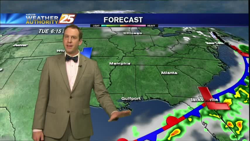
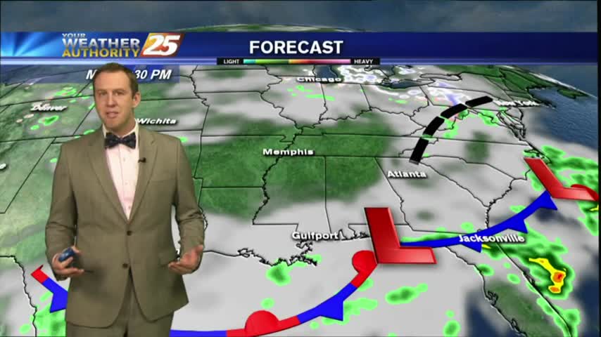
05/13 Ryan's "River Flooding" Monday Night Forecast
Weekend storms are gone, but flooding issues remain despite our sunny skies....

Weekend storms are gone, but flooding issues remain despite our sunny skies....

A little cloud cover lingered for most of the afternoon but is slowly giving way to clearer skies for the rest of the week....
Expect much cooler and drier weather ahead, but we're not quite done with the rain and clouds just yet....
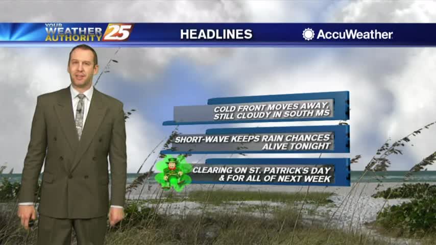
The Ides of March are here and they didn't bring Shakespearean treachery, but we are still seeing some showers in the area....

Cloudy, wet and cooler for your Monday.
The last few days have been humid, warm, and foggy, but cooler and drier air is moving in quickly....
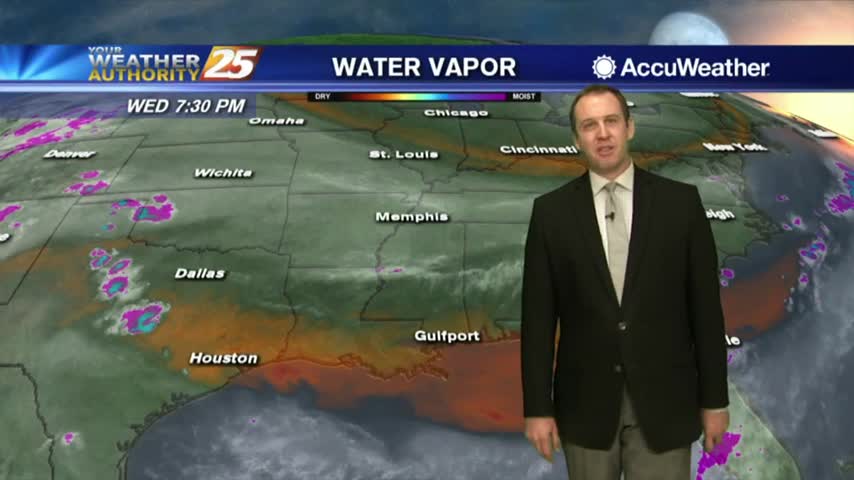
Last night's clouds have moved on and drier air is moving in, but we'll see rain again before next week....
The cold front that moved in yesterday is slowly bringing in the cooler and drier air, but we'll see more rain soon....

The Fall weather has finally arrived, and it will carry us through the weekend but won't last forever....

Hurricane Michael devastated the area just East of us, but locally conditions will continue to improve and will become much more "fall-like"....
This afternoon's showers are just starting to dissipate, so expect a clear night followed by another hot and humid afternoon with very few showers....

It's still dry after another rain-free day, and we're not done with them yet....
We've now been through 24 hours without a drop of rain in South MS, and the dry air sticks around for a bit longer....

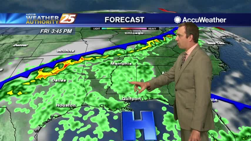
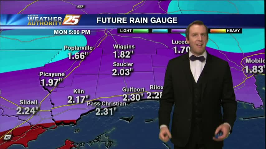
A wet day is expected, and it will continue into Wednesday.
A wetter pattern starts today, and continues throughout the week.
Expect some early morning cloud cover due to a weak incoming front, but we'll see very little if any rain tonight, and cooler/drier weather tomorrow....

Another beautiful day with plenty of sunshine and blue sky, but clouds will move in as a cold front pushes through overnight....
Expect a very weak front to bring a few sprinkles tonight, but much clearer skies by tomorrow.....
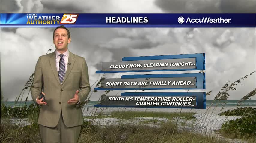
Today began cloudy and warm as expected, and the skies opened up some in the afternoon and allowed some sun, but don't expect any significant clearing until tomorrow afternoon....
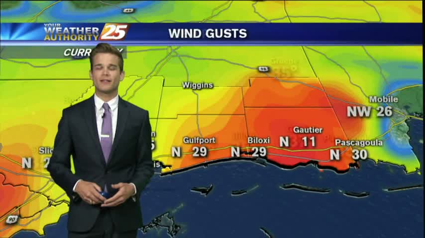
It was a very windy start to the day with gusts over 20 mph. The winds will begin to calm later this evening, which leads into a great forecast for most of the week.
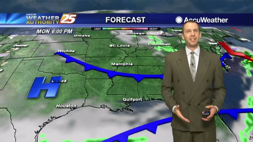
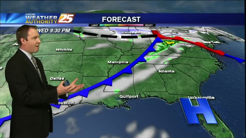
A cold front is slowly moving through the area, so we'll have at least one more round of showers before clearing overnight. Watch the full forecast for details.
Warm and humid conditions have dominated over the last few days, but today's forecast will change all of that. Click here for the full forecast with Meteorologist Ryan Mahan.
Today may have started warm and humid, but this afternoon's cold front will bring cooler and drier conditions through the rest of the week. Click here for the full forecast.
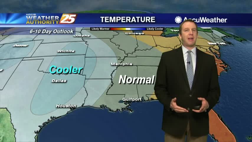
A cold front passed through South MS during the early morning hours with little fanfare, but we'll feel those chilly and drier conditions tonight...and again a few times this week. Check out the full forecast for details.