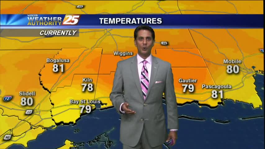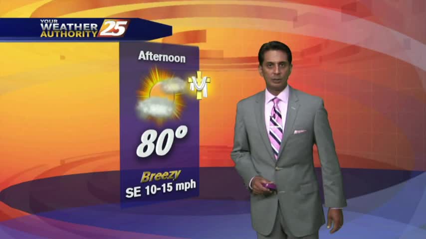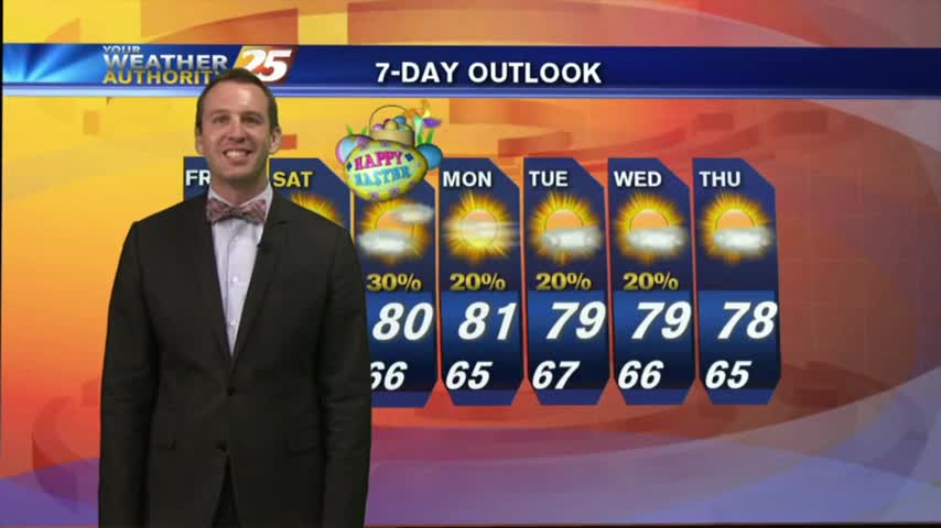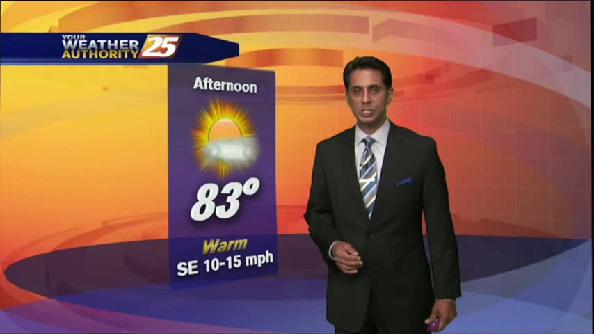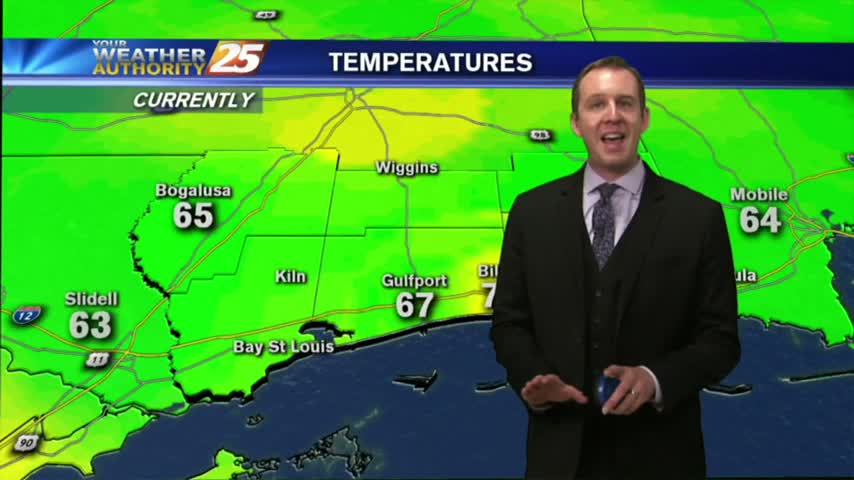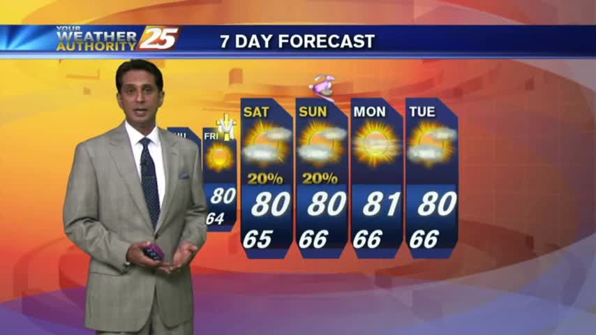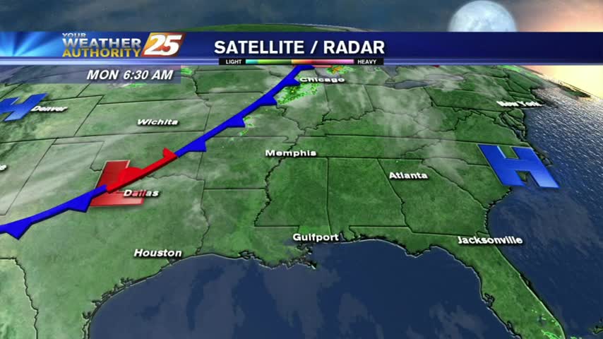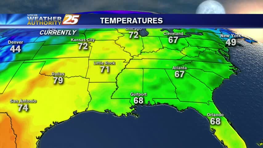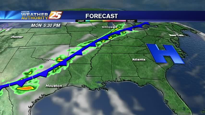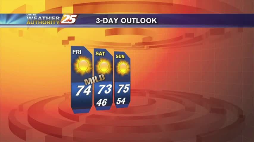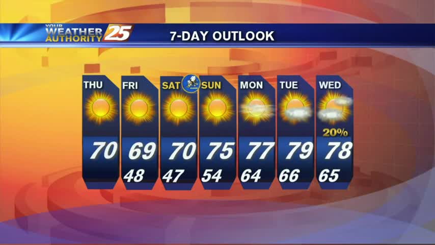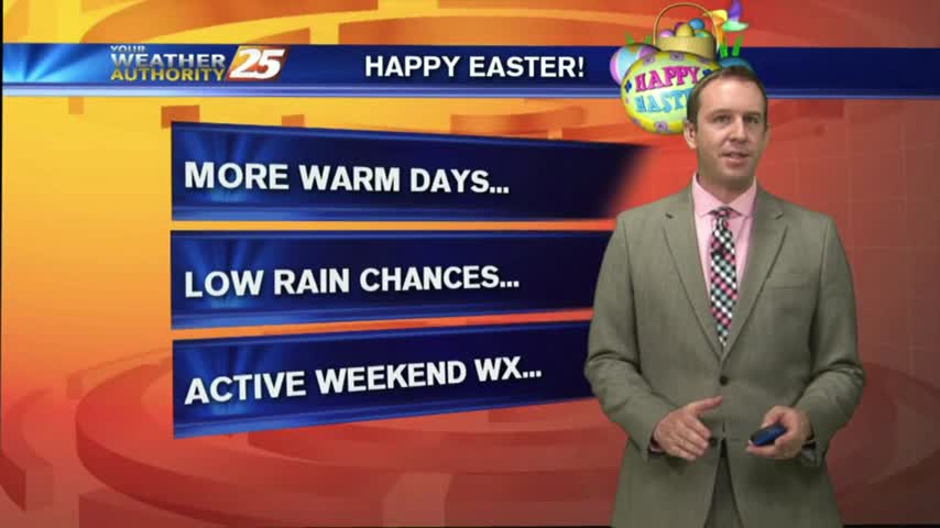
04/16 Ryan's "Easter" Sunday Night Forecast
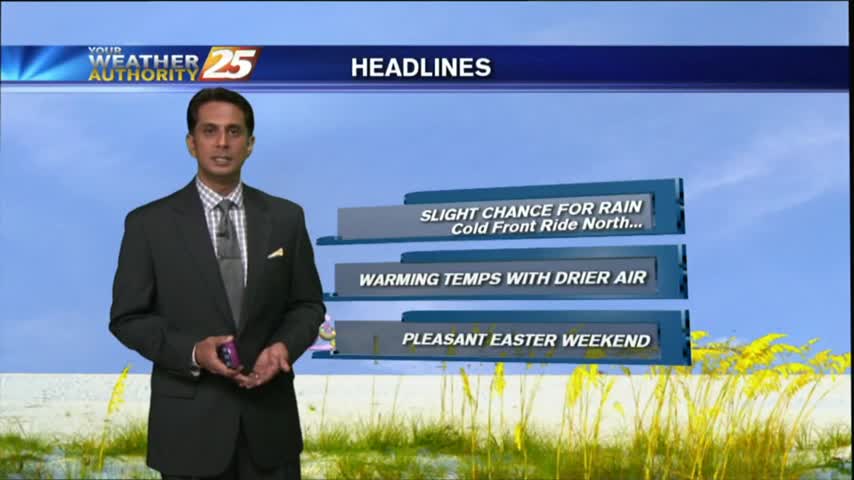
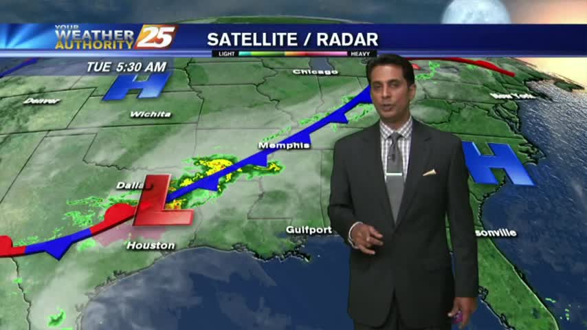
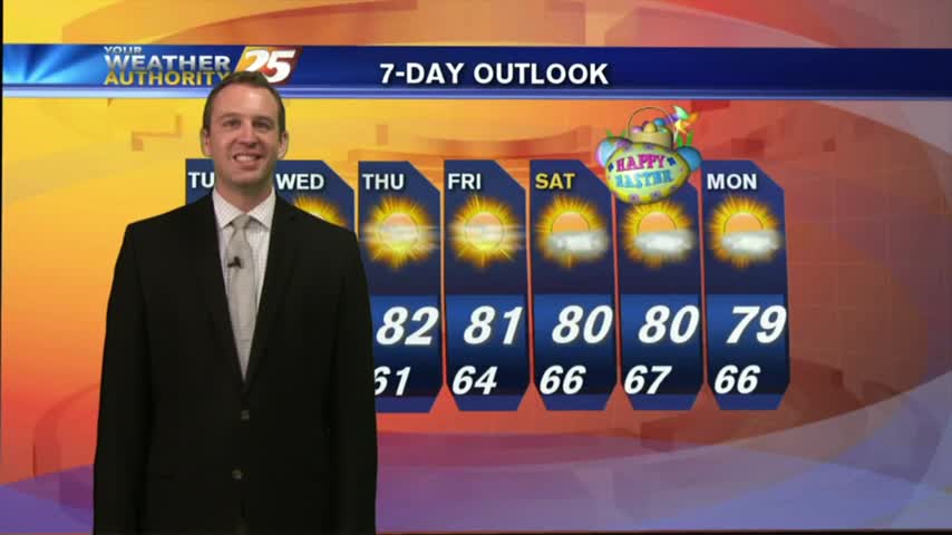
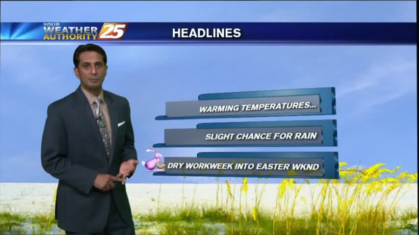
I hope everyone enjoyed their cloudy, but otherwise pleasant, Easter weather! We've more beautiful days ahead, though it looks like stormy weather will move in late Saturday. Watch the forecast for details.