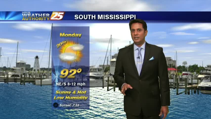
6/11 - Rob Knight's Monday/Workweek Forecast
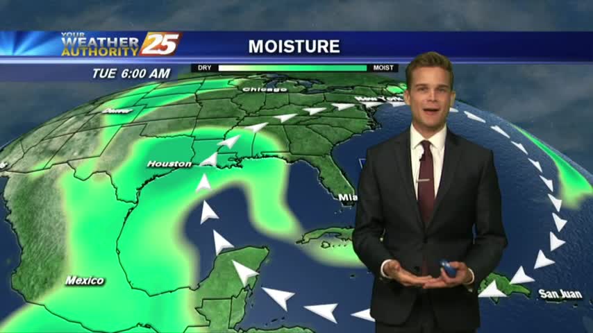
A warm/humid start with cloud coverage developing and moving in from the west...

A warm/humid start with cloud coverage developing and moving in from the west...
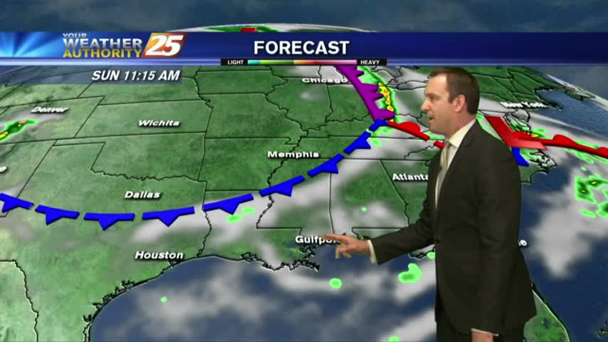
A summer like week with showers thunderstorms in the forecast and the latest on the tropics.
More nice, dry weather today, but expect to see more and more showers as we head through the weekend and into next week....
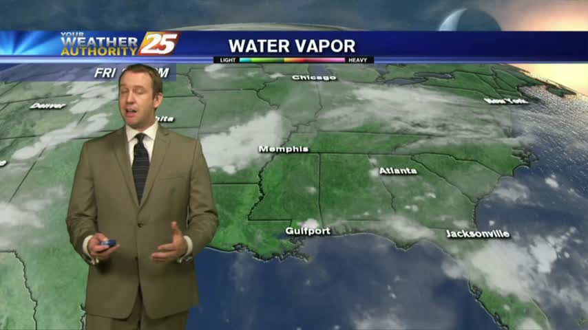
It was another beautiful day with reasonable humidity and plenty of sun, but higher humidity and rain chances are on the way....

A nice start to the day/weekend as clear skies prevail with a north wind and temps in the upper 60s/low 70s...
We'll see more beautiful days like today ahead, but rain isn't far away....
Today was hot and sunny with moderate humidity, a far cry from the oppressive humidity we saw this time last week....

A clear start to the day with light patchy fog in Jackson County...

Today's beautiful weather will continue for a while with only slight changes, but the rain won't stay way for long....
Great weather moved in today after yesterday's stormy afternoon, and the consistently nicer weather has moved in for the long term....

Isolated showers and cloud coverage prior to sunrise cleared to the SE, with hot temperatures on-tap this afternoon...

A better start to the day as the main focal point for rain has shifted to our SE...

A stormy afternoon has given way to a cooler and humid night, but a hot and sunny week is on the way....
Showers and storms moved in this afternoon, but will have largely cleared by this evening ushering in several sunny days in a row....

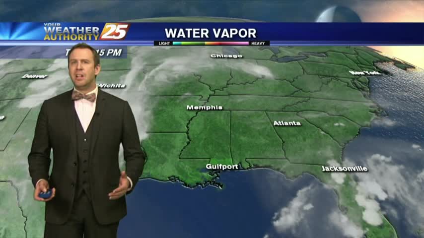
The heavy showers and thunderstorms have moved out of the area, but more are on the way.
Isolated showers/t-storms are in the area this morning with the threat for HEAVY RAINFALL today...
Yesterday's cold front brought slightly cooler and drier air, but rain and some warmer days are ahead....
A front moved through on Sunday, not bringing much rain but did bring today's slightly cooler and drier weather. Doesn't last long though....

Less moisture today, which means heat index values not as high...it's still hot though.
A cold front to our south will bring hot temperatures and a drier air mass to the area...

It felt like it was around 110 degrees this afternoon...but relief is on the way.
The 2018 hurricane season started today, but that was a bit overshadowed by the high heat indices coming to South MS for the weekend....

There's no activity to track on the first day of the tropical season, but we will see some dangerous temperatures over the weekend...

A HOT day with the sea-breeze developing isolated activity along the southern coastal counties...