1/28 - Payton's Monday Afternoon Forecast
Latest on the chance for wintry weather...
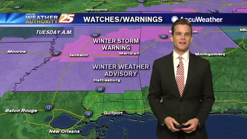
Latest on the chance for wintry weather...
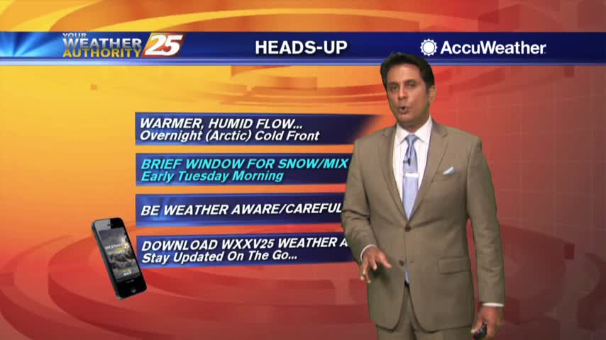
A cold start to the day then spring-like temperatures ahead of a VERY, VERY COLD Air Mass...
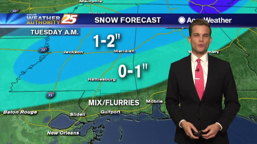
Rain, Snow, Lows in the 20s...winter is returning.
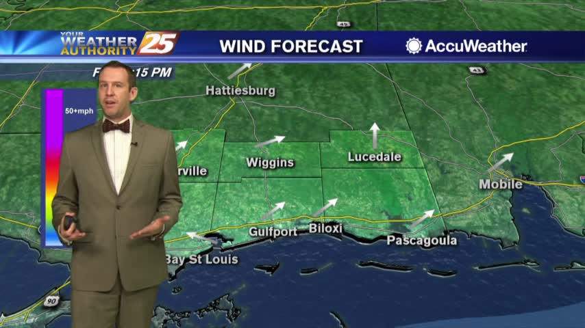
Tonight will be as clear and cold as the last few have been, but we will warm up through the weekend....
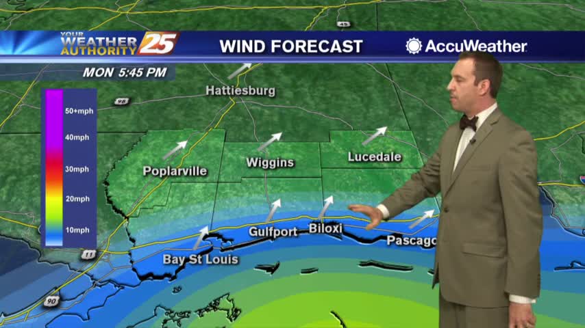
A little upper level cloud cover dotted the sky earlier today, but won't help us any tonight as chilly conditions move in....
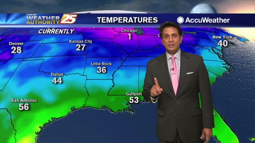
After a FRIGID START, temperatures are slowing warming into the 50s under sunny skies...
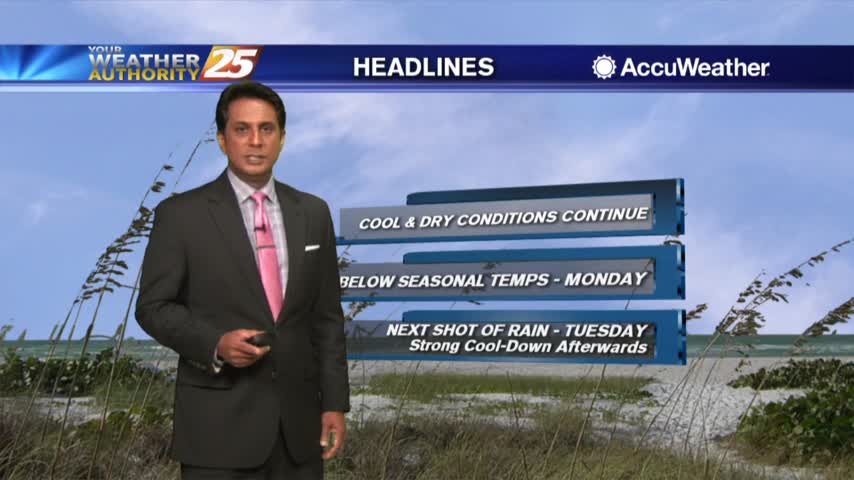
A very cold start to the day under clear skies and light winds from the NNE...
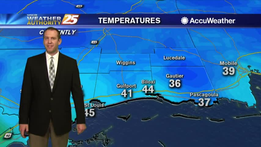
Yesterday's rain is just a memory now, and we're in for a long run of cooler and drier days....
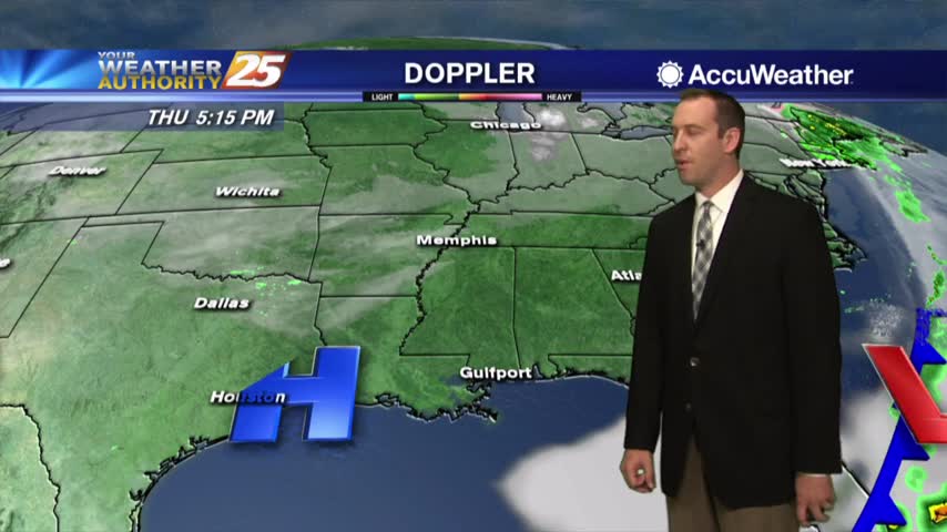
Yesterday's front is gone and much cooler, drier air has moved in....
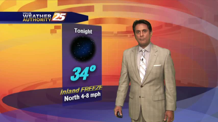
Cloud coverage lingered into this morning but have cleared since with BEAUTIFUL blues skies now in the area...
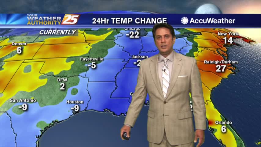
As the cold front continues to move further east, COLD and clear conditions have moved into the area...
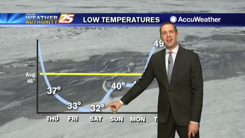
The showers from today's front are all but over, and now we wait for the cold and dry air to move in....
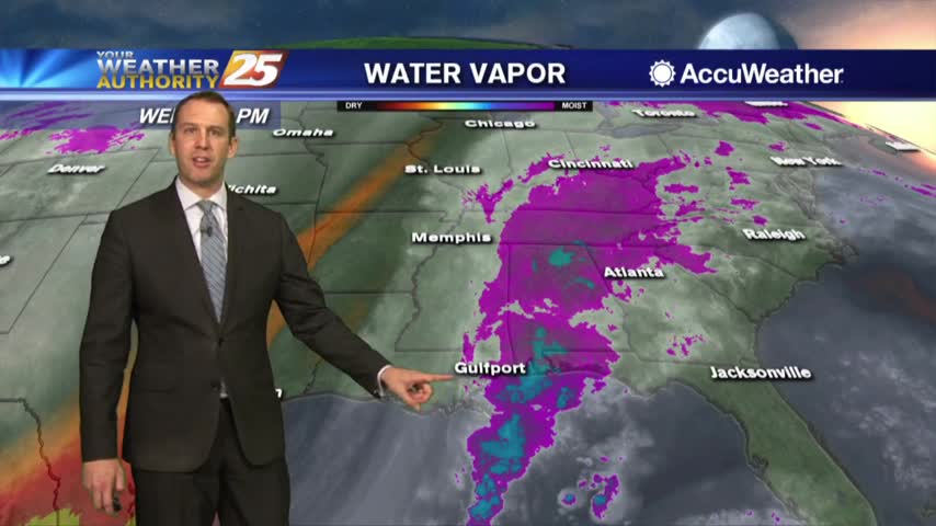
It has rained almost all day so far as expected, but overnight cold air advection brings big changes....
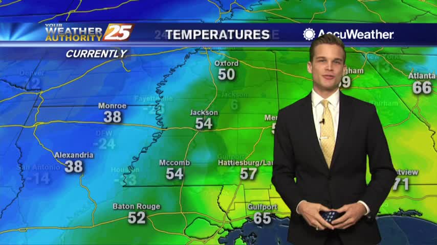
Heavy rain this afternoon...cold by tonight.
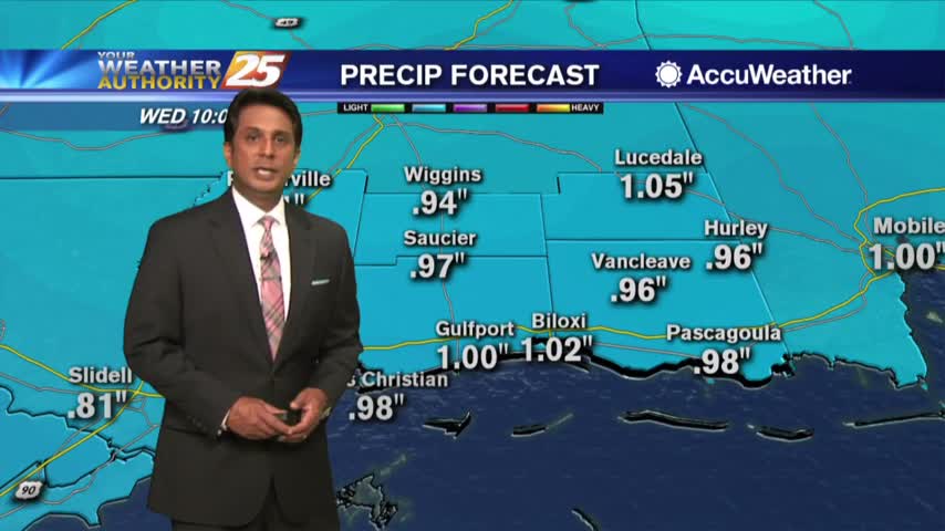
A mild and wet start to the day with isolated rain moving in from the south...
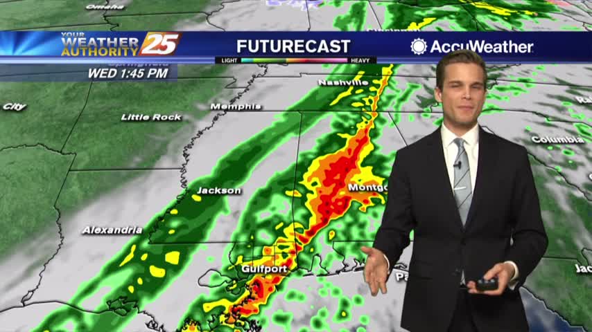
Rain moving in tonight and through your Wednesday.
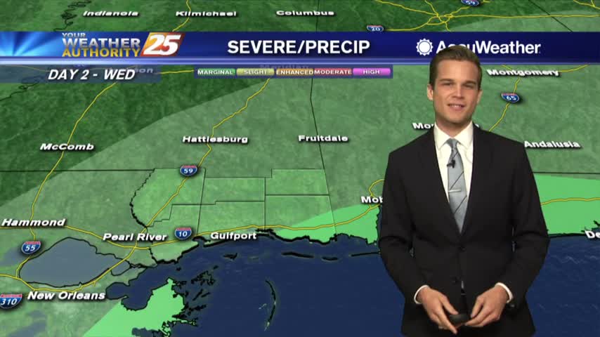
Rain moves in tonight, and colder air by tomorrow.
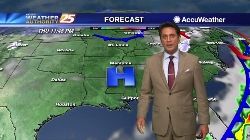
A MUCH WARMER start to the day as the return flow has begun with a weak warm front to our SW...
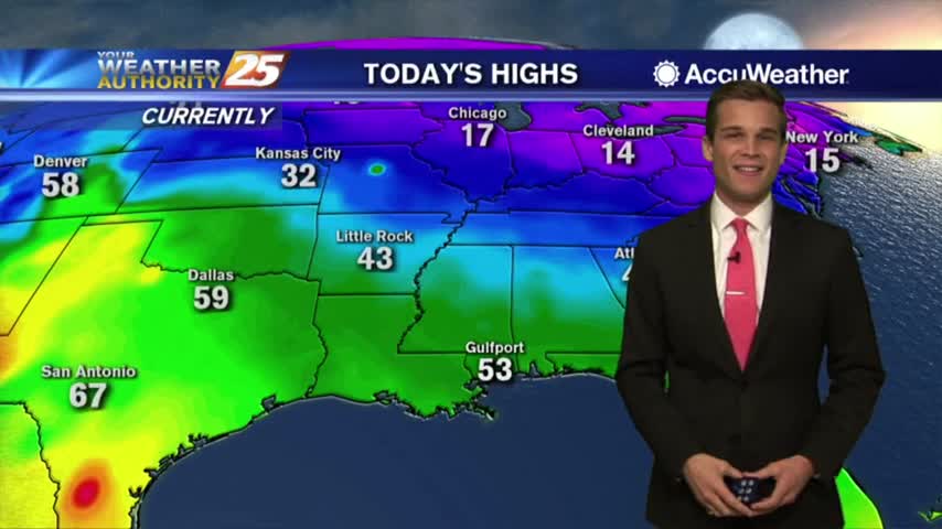
Rain headed our way along with cold air!
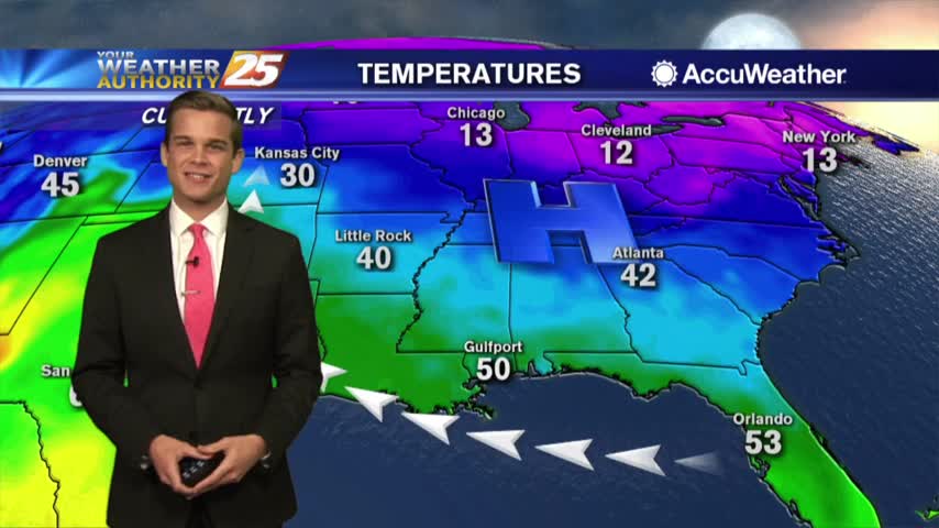
Temperatures, moisture and clouds all increasing the next several days.
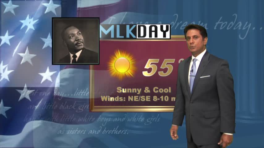
After a FRIGID start to the day, it's still cool but an abundance of sunshine dominates...
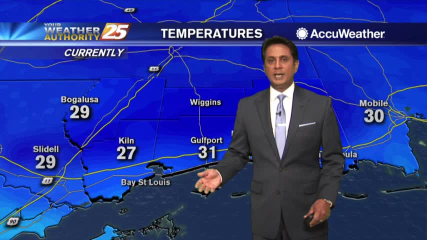
It's a FRIGID start to the day under clear skies and light winds, but the warm-up will begin this afternoon...
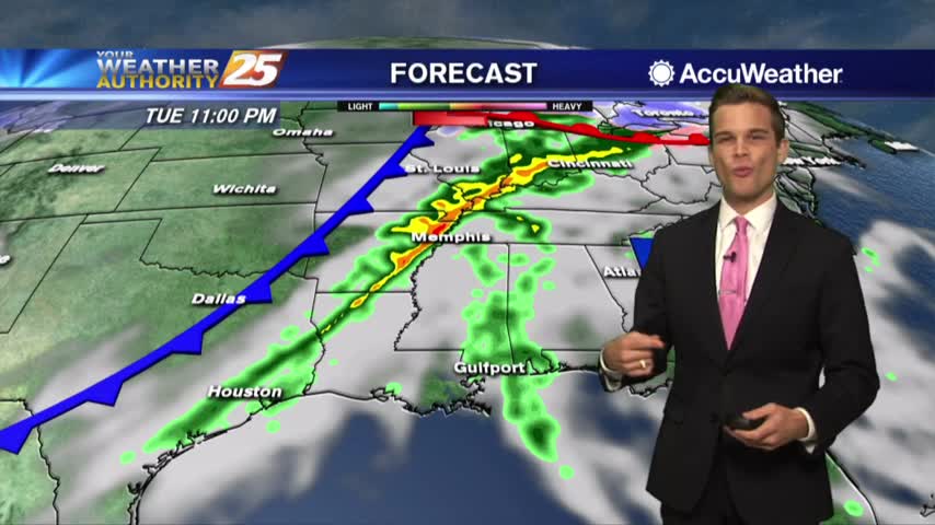
Warming trend, thunderstorms, cooling trend...a lot happening this week.
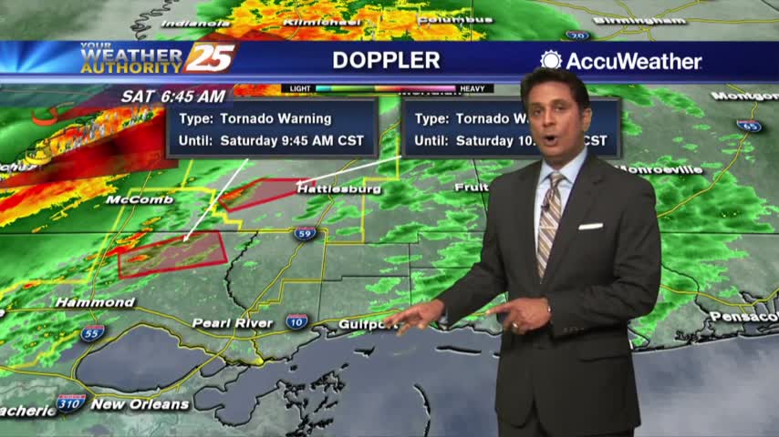
A line of t-storms associated with a cold front will move in from the west later this morning...