6/3 - Rob Knight's "Wet/Tropical" Wednesday Morning Forecast
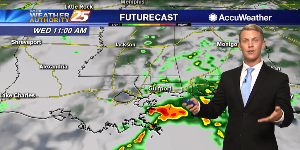
A wet start depending on your location as t-storms continue to move in from the south...
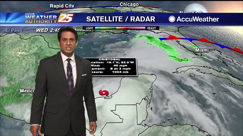
A wet start depending on your location as t-storms continue to move in from the south...
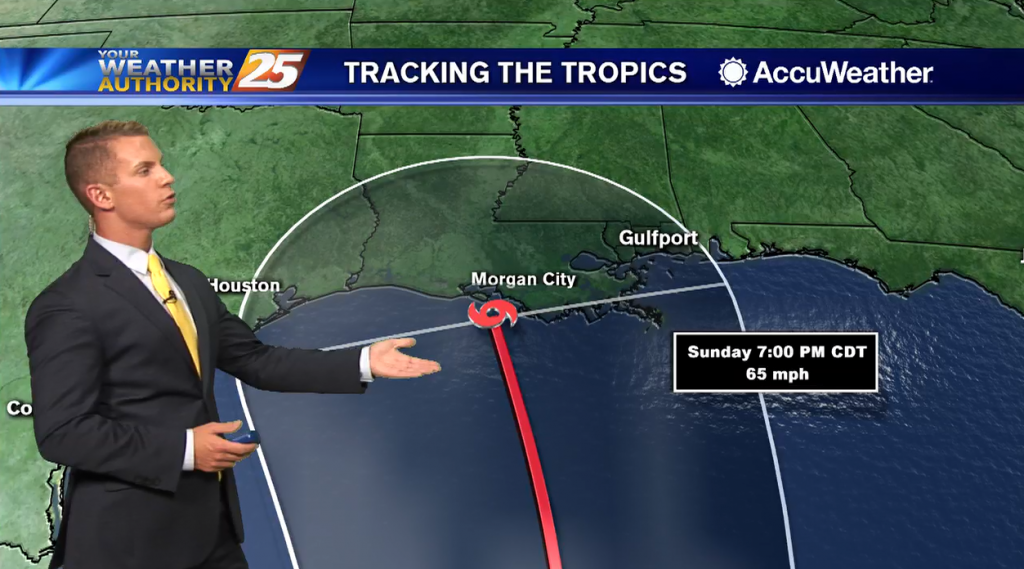
Overnight lows will be warm with temperatures only dropping down to the upper 60s to lower 70s. Tomorrow, rain chances increase to 70 percent as coverage of storms becomes more widespread. It will be warm and muggy with highs will…
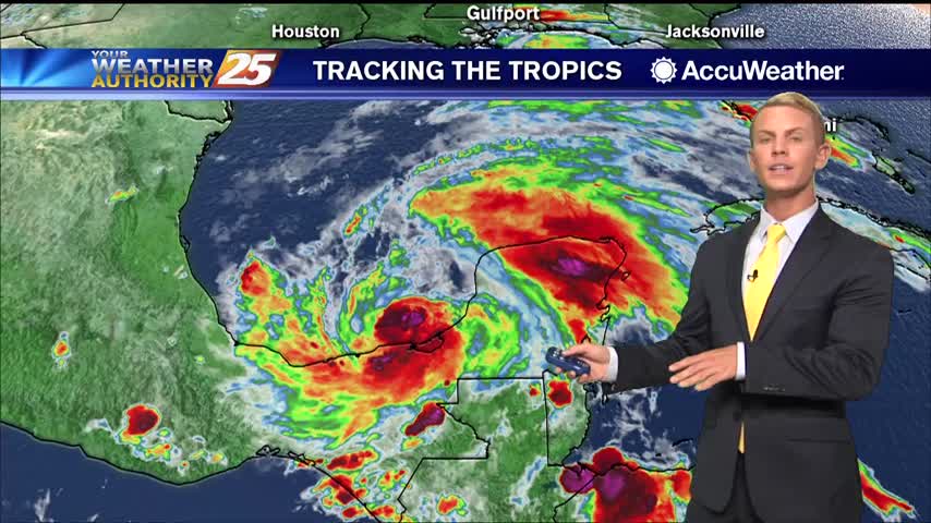
After a cloudy day with spotty rain, overcast skies will continue. Scattered showers and a few thunderstorms will be possible overnight with rain chances at around 40 percent. Overnight lows will be warm with temperatures only dropping down to the…
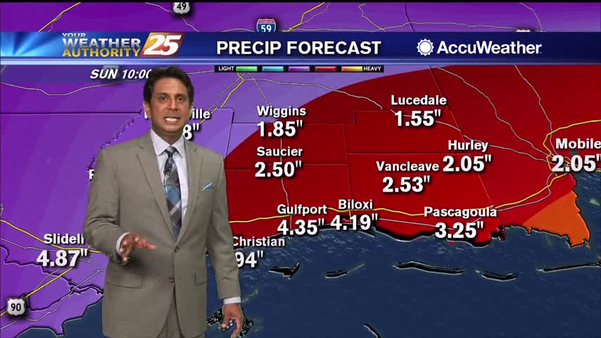
Spotty t-storms/rain from this morning will become more widespread this afternoon...
A warm start with spotting rain moving in from the south...
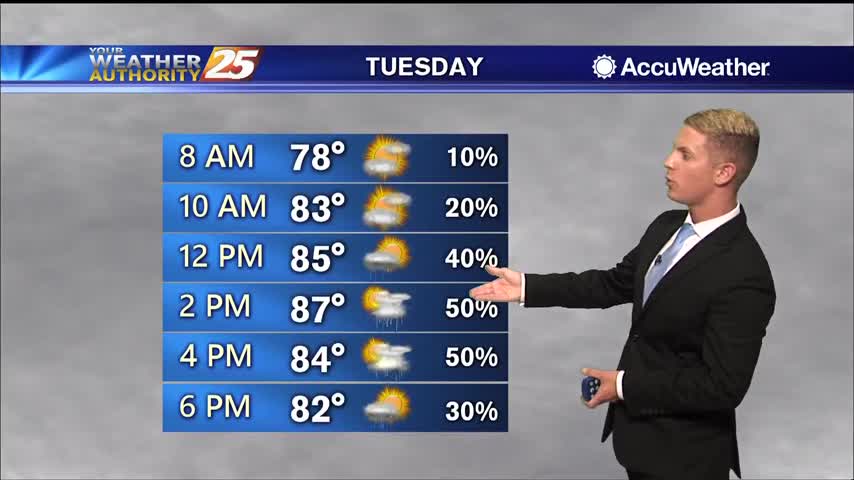
Heading into Tuesday, high temperatures will be in the upper 80s to around 90 degrees as moisture begins flowing into the region out of the southeast. Scattered showers and a few thunderstorms will be possible, mainly in the afternoon. Rain…
Heading into Tuesday, high temperatures will be in the upper 80s to around 90 degrees as moisture begins flowing into the region out of the southeast. Scattered showers and a few thunderstorms will be possible, mainly in the afternoon. Rain…

After a pleasant start to the day, temperatures are now pushing the 90 degree mark...
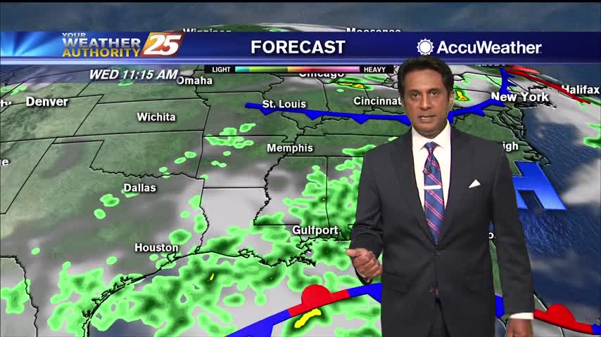
A warm start to the day with slight lower overnight humidity than what we typically find...
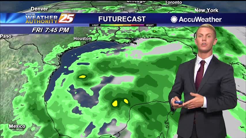
After a hot weekend on the Gulf Coast, the warm trend continues. High temperatures will be in the lower 90s once again for most of South Mississippi on Monday under mostly sunny skies. Heading into Tuesday, high temperatures will be…
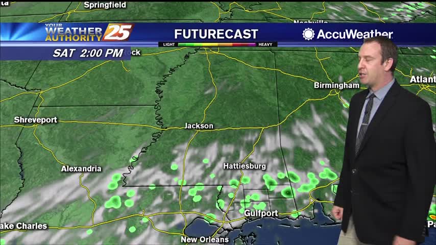
Our afternoon clouds and showers have cleared, and we're in for a long string of sunny days ahead.
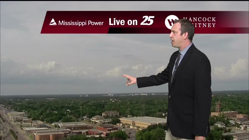
It's been pretty cloudy all week, but we're finally starting to see some positive changes moving in.
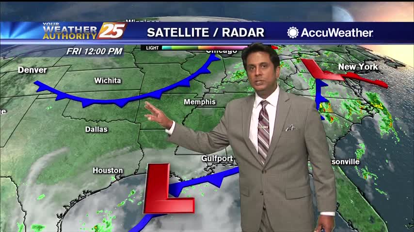
Showers/t-storms from this morning beginning to dissipate...
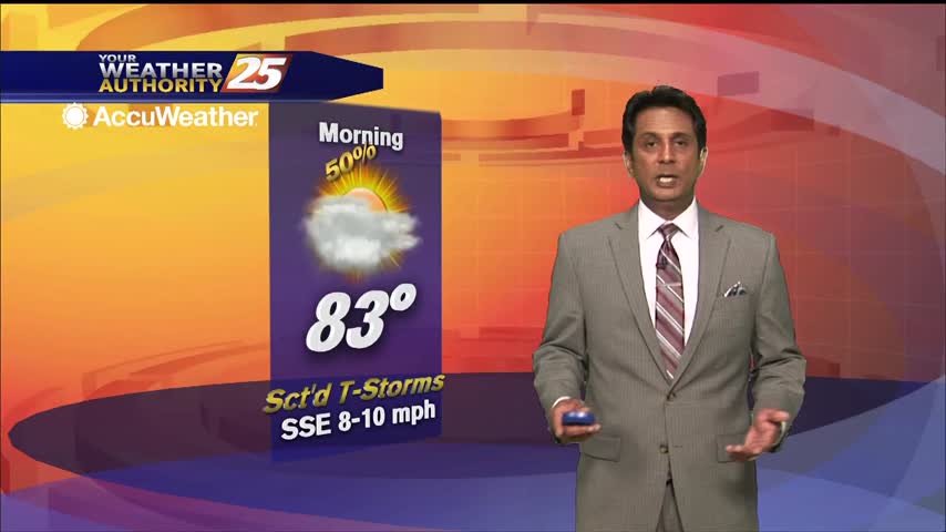
A warm and humid start with areas of patchy fog...
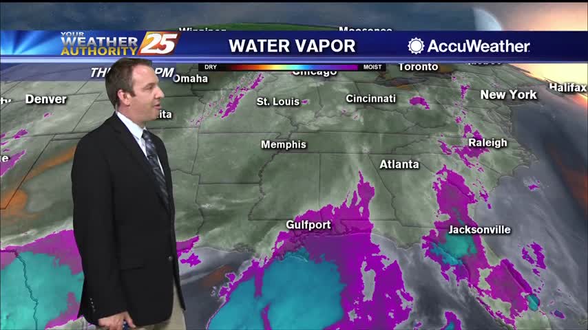
Only a small spot of rain today in South MS, but we saw plenty of clouds and high humidity again.
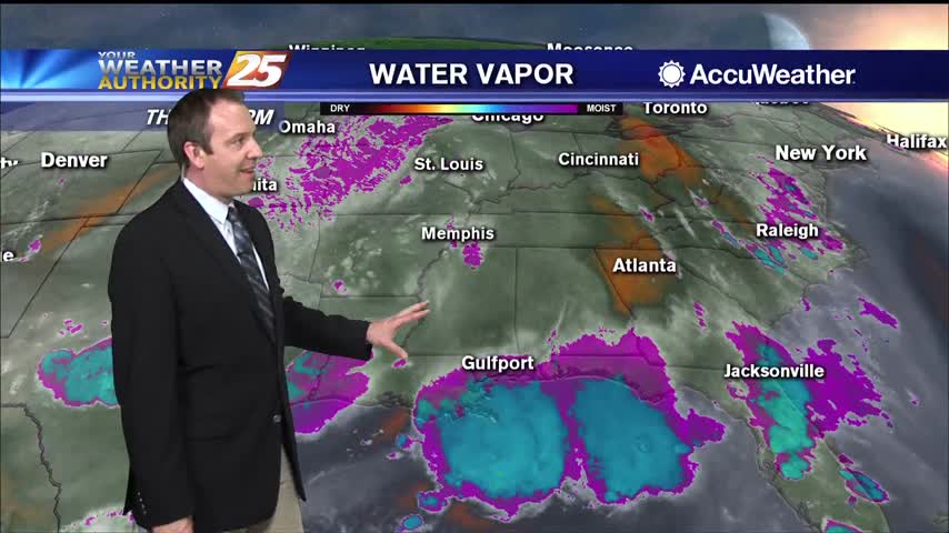
Much less rain today, but still cloudy in South MS. Expect the rain to return tomorrow ahead of some weekend clearing.
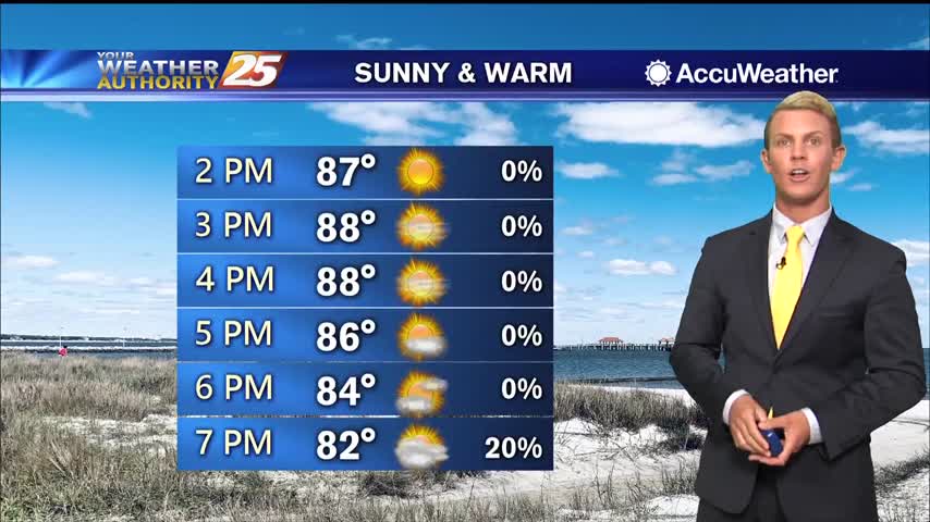
Sunny skies will continue for the remainder of Thursday afternoon and early evening as high temperatures warm into the upper 80s. Tonight, clouds will build into the region ahead of some rain that will move in by early morning. Overnight…
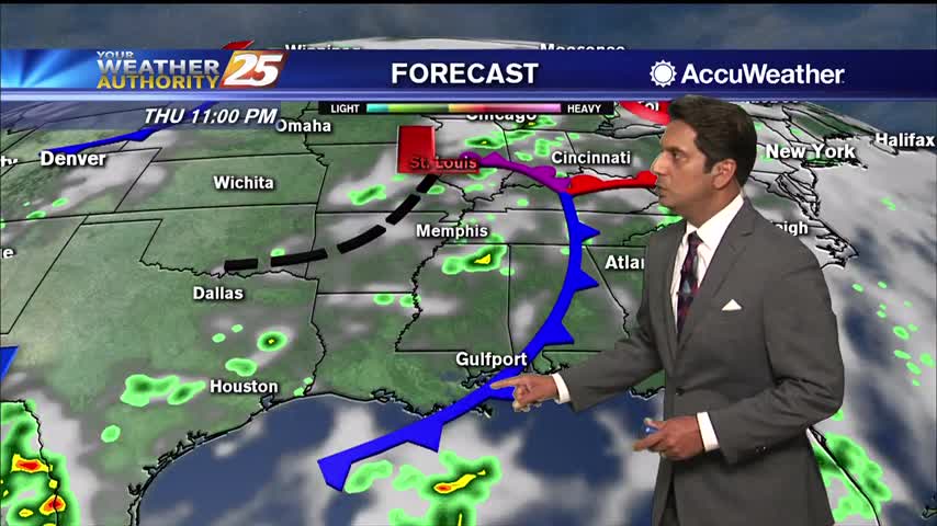
The pesky upper low near the Oklahoma/Arkansas border will gradually weaken today as it moves east across Arkansas. Tonight it will open up into a sharp trough and begin to be absorbed into a northern stream trough over the Great…
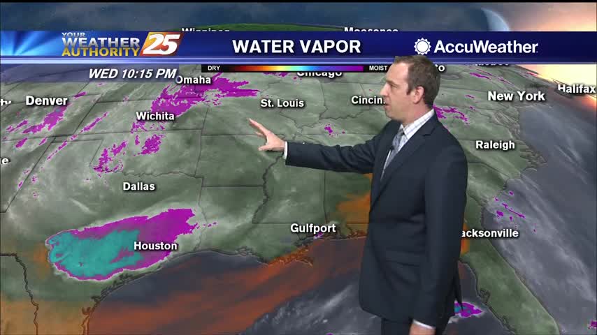
Thunder rolled this morning as strong thunderstorms lingered, but things have cleared up since...won't last long though.
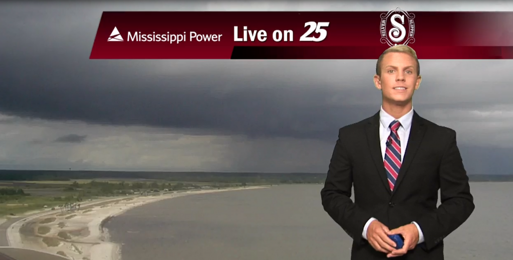
Showers and thundestorms will continue on and off through the afternoon and evening. High temperatures will be cooler today due to the increased cloud cover, only topping out in the lower 80s. Tonight, rain and clouds will clear out of…
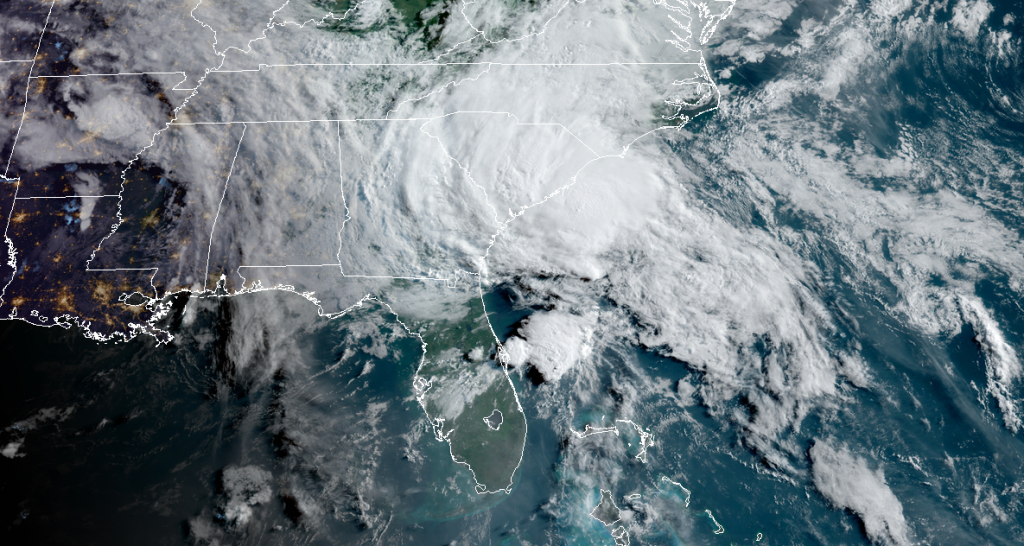
(WXXV) — Tropical Storm Bertha formed off the coast of South Carolina early Wednesday morning after quickly organizing overnight. The storm poses no threat to the Gulf Coast. The National Hurricane Center says Bertha is expected to produce heavy rainfall…
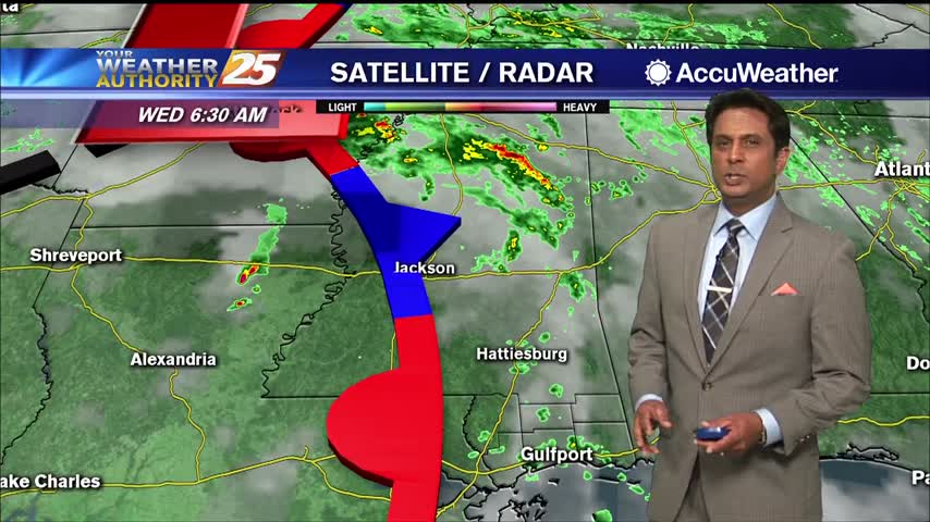
Ares of patchy fog this morning then another round of showers and t-storms...
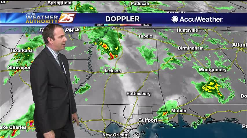
Another hot and humid day with a warm and humid night in between, but we're seeing more afternoon shower activity.
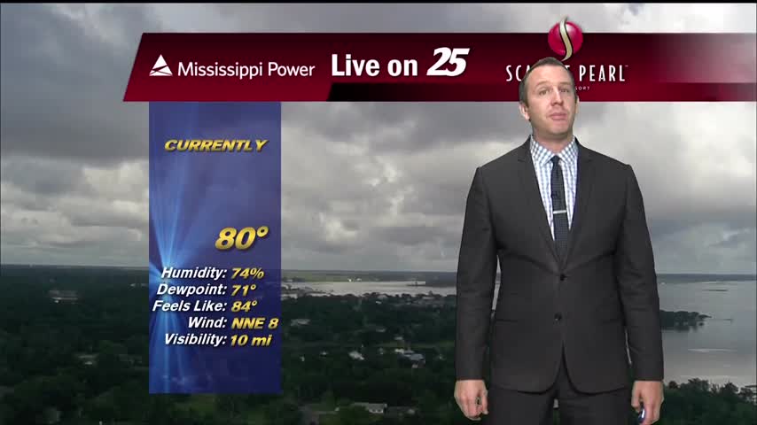
More rain today during a stormy afternoon, but it will die off a bit into the night...only to come right back tomorrow.