09/01 Ryan's "September 1st" Tuesday Evening Forecast
August ended on the wet and muggy side, but September is starting off beautifully. Statistically though, it likely won't remain that quiet as tropical activity peaks.
August ended on the wet and muggy side, but September is starting off beautifully. Statistically though, it likely won't remain that quiet as tropical activity peaks.
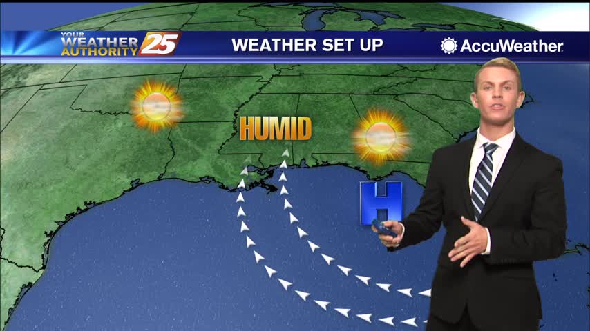
High temperatures will be in the lower to mid 90s for the next several days, but it will feel much hotter. High pressure over the eastern Gulf of Mexico continues to send warm, humid air into South Mississippi. Heat index…
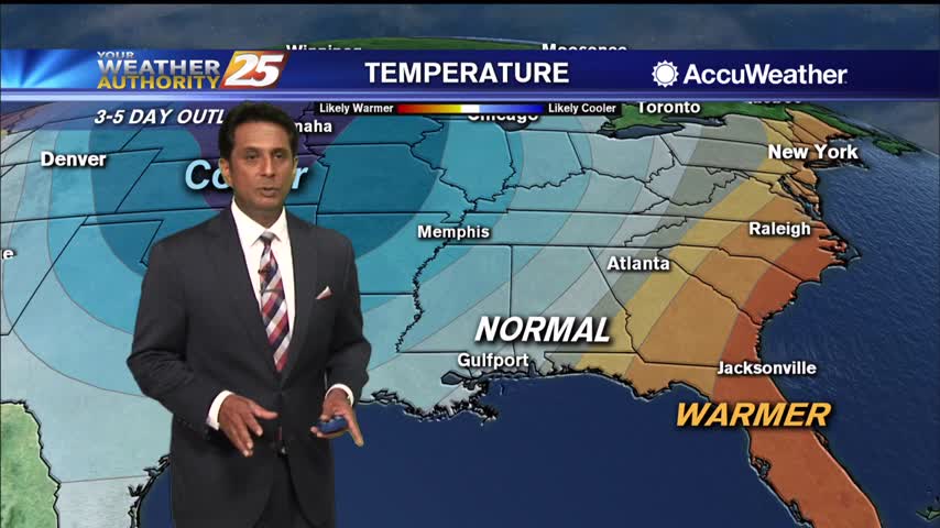
A warm and humid start with areas of light patchy fog inland...
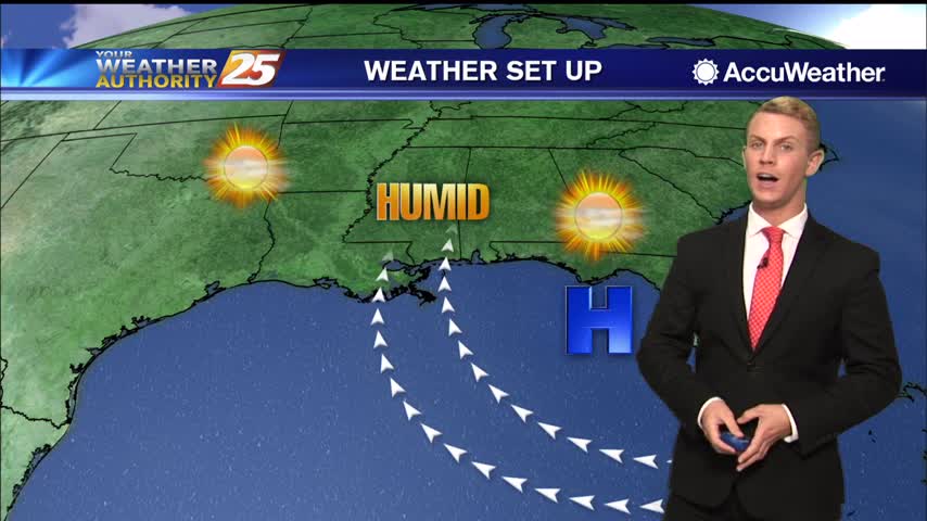
High pressure to the east will continue to extend into the gulf will be nudging northward to bring the ridge axis onshore by Tuesday. This will serve to suppress any showers and storms to just be isolated in coverage Tuesday…
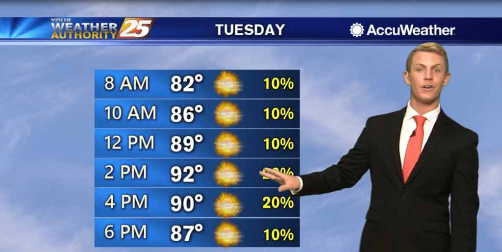
High pressure to the east will continue to extend into the gulf will be nudging northward to bring the ridge axis onshore by Tuesday. This will serve to suppress any showers and storms to just be isolated in coverage Tuesday…
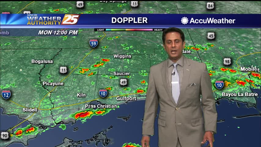
Hot temperatures heading into the final afternoon of August...
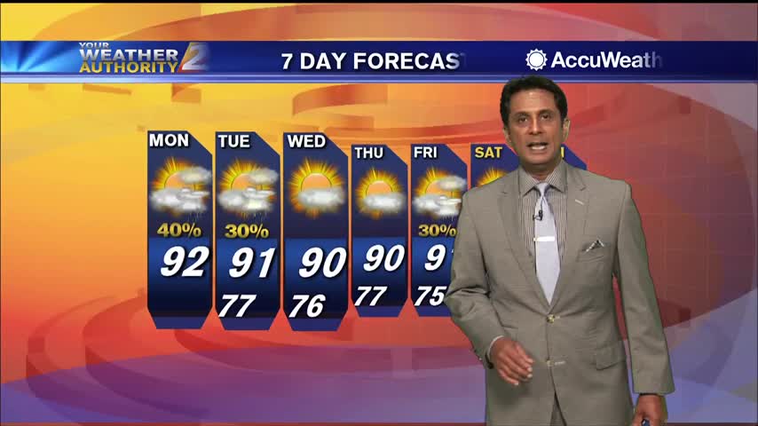
A warm and humid start with just a few clouds overhead...
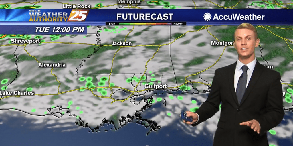
Monday should be similar to what we experienced today in that rain process will continue to be efficient and dictated by regional weather systems interacting with the gulf breeze. Once again, it will not be an all-day rain, but generally…
Tonight, partly cloudy skies with a small chance for rain. Overnight lows should drop down to the mid-70s. Saturday, high temperatures should get up to the upper 80s with some areas even hitting 90 degrees, but it’s going to feel…
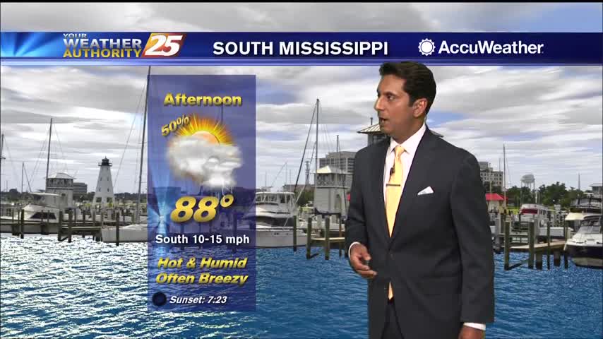
Hot and humid conditions this afternoon with t-storms from the west moving in...
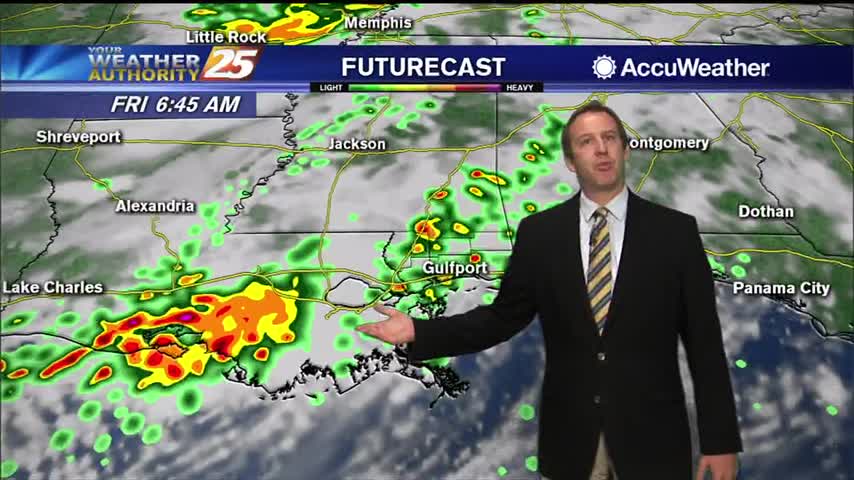
Laura has left and weakened, but we're still looking at a few grey, active days as ahead.

Laura will be "post-tropical" before too long, but is still responsible for our grey, wet weather into tomorrow.
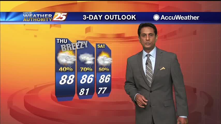
A feeder band linger along SE Louisiana, will slowly move east this afternoon into the area...

Our viewers can help TODAY by donating to The Salvation Army Hurricane Laura Relief. Online at give.helpsalvationarmy.org "As Hurricane Laura menaces the U.S. Gulf Coast, Salvation Army disaster teams are mobilizing to provide food, drinks, emotional & spiritual care and…

A warm and steamy start to the day with gusty winds in the 20 mph range...

Laura is just hours away from landfall, bringing catastrophic damage to western Louisiana and eastern Texas before sunrise.
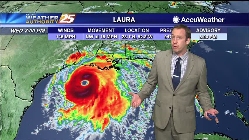
Hurricane Laura has continued to strengthen, and will make landfall later tonight as a major hurricane on the TX/LA border.
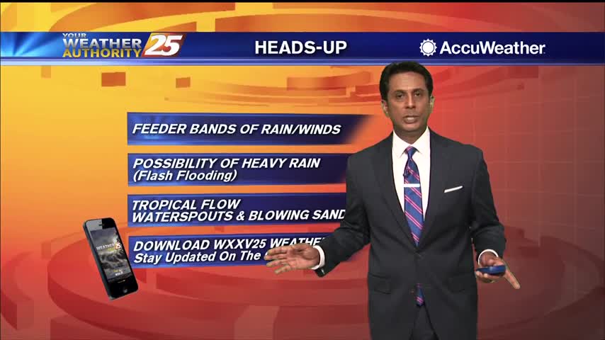
Hurricane Laura is currently in the central Gulf of Mexico currently moving northwestward. Satellite imagery does show Laura trying to have a bit more of a closed circulation and the storm has now increased to a CAT 2 hurricane. Laura…
It's going to miss to the left, but Hurricane Laura is on its way and will bring us a few rainy days....
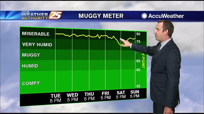
Hurricane Laura will miss us to the west, but we're still in for a few days of disturbed weather.
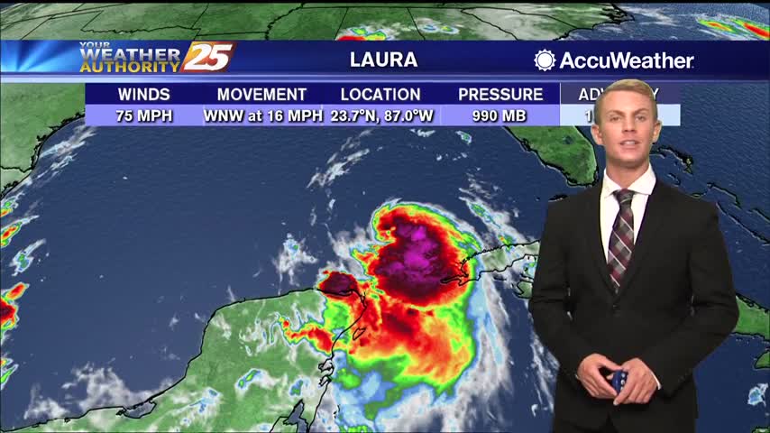
Gray skies, intermittent rain, and high humidity will be the trend over the next couple of days as tropical moisture continues to flow into the area. Hurricane Laura is now a Category 1 over the Gulf of Mexico with maximum…
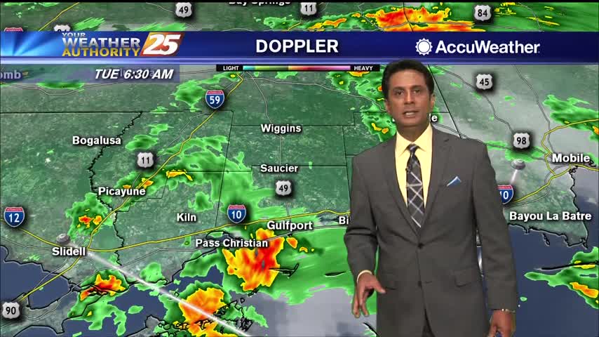
As TD Marco continues to move west along the Louisiana coast, the strong tropical flow will continue into south Mississippi. The focus will now shift to the SE'tern Gulf of Mexico as TS Laura continues to move NW. Conditions in…
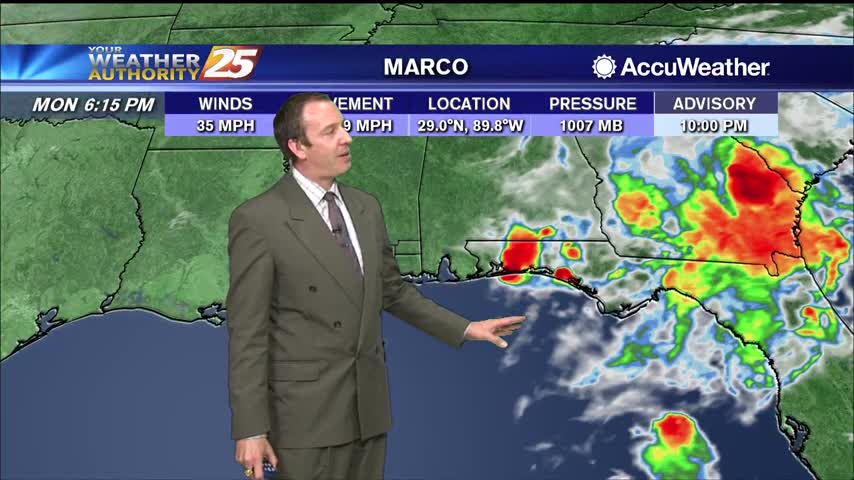
Marco has weakened further and will not last tomorrow, but Laura is edging towards major hurricane territory....
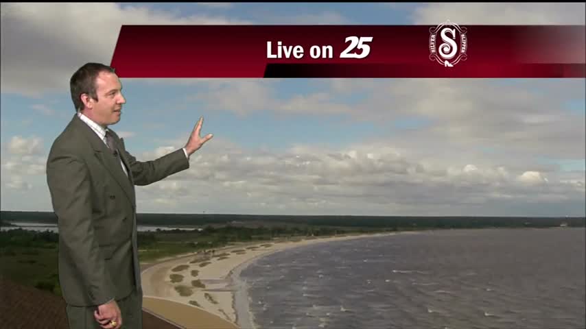
Marco is weakening rapidly, so we won't see much of a significant impact as it passes to the south, but Laura is slowly strengthening....