11/6 - Rob Knight's Friday Afternoon/Weekend Forecast
A nice warm afternoon ahead as clouds continue to move into the area...
A nice warm afternoon ahead as clouds continue to move into the area...
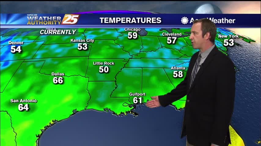
The warming trend continues as the humidity also rises into the weekend.
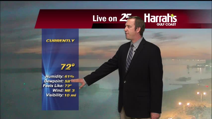
Steadily getting warmer and more humid, with rain just around the corner....
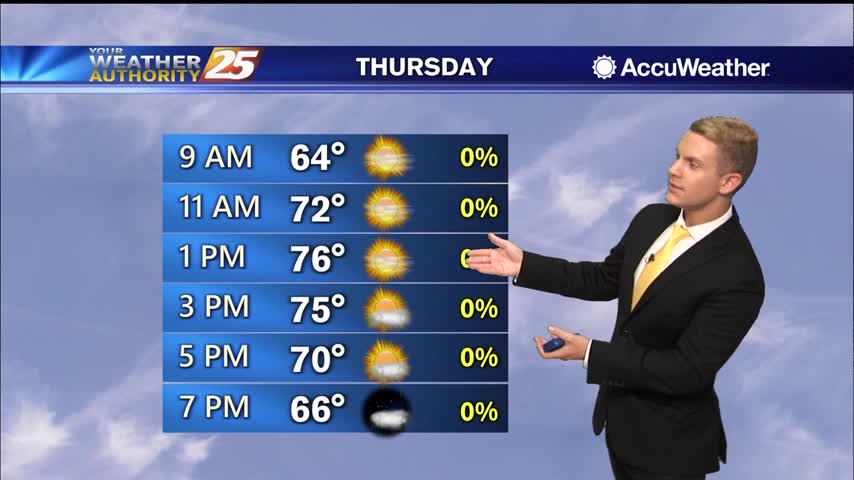
Wednesday through Friday, high pressure will be building over the region. Conditions will be dry and cool. Easterly to northeasterly surface winds will help to push some moisture into the area, so expect humidity levels to rise gradually in the…
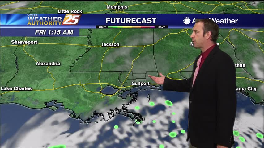
Finally seeing a shift in our clear and dry weather pattern, but it'll still take a few days before any dramatic changes.
It's steadily warming for the next few days, but the humidity remains low...for now.
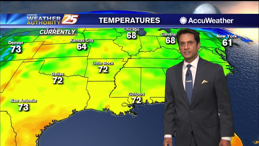
A very nice afternoon ahead under clear skies and slight warmer high temperatures...
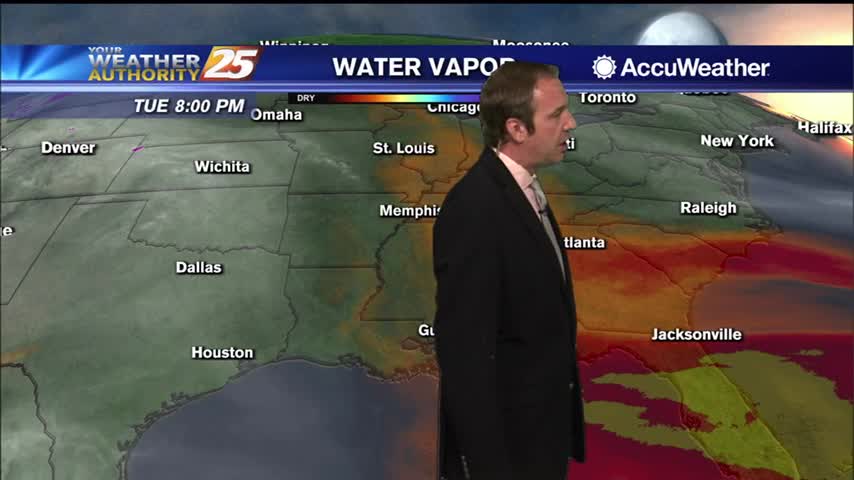
Cooler, drier air remains, but we will continue to warm steadily through the week.
Cooling has stopped, so now warming can begin as we head into the rest of the week and the weekend.
After the coldest temperatures of the season earlier this morning, the warming trend now begins...
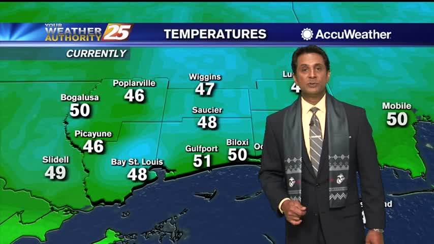
After a very cold start to the day, temperature are slowly warming under sunny skies...
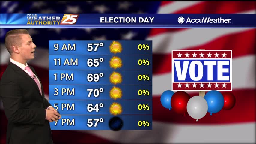
It’s quite the chilly morning across the area with some of the coldest temperatures we’ve seen in a while. Early morning temperatures are sitting in the lower to mid 40s across most of the viewing areas. Some upper 30s are…
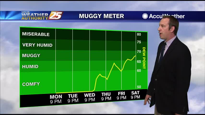
Much colder after Sunday's cold front, but it steadily warms throughout the week.
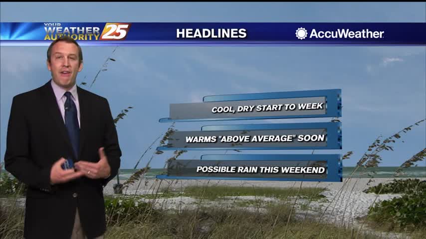
Not too bad of a weekend anyway, but then a front moved through yesterday bringing even drier air to start the week.
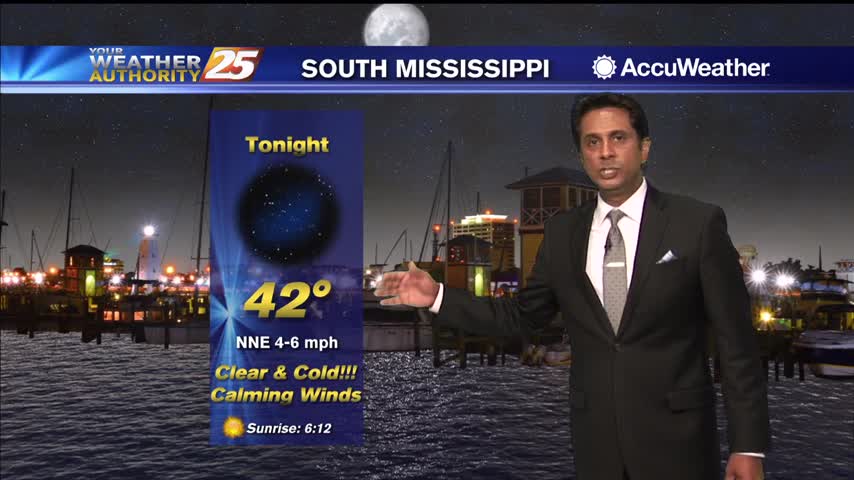
Temperatures are going to linger in the mid-60s this afternoon due to a cold north wind...
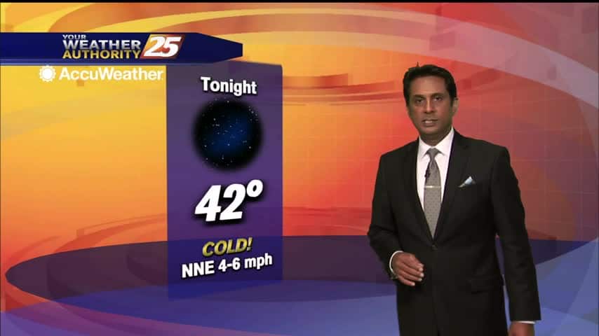
After a CHILLY start, temperatures are slowly warming under an abundance of sunshine...
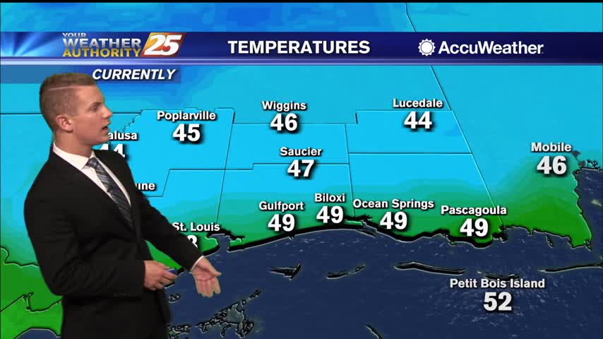
Coldest overnight lows of the week are expected Monday night into Tuesday morning as skies remain clear and winds turn very light to calm across inland areas. Temperatures will plummet into mid to upper 30s across most inland communities Monday…
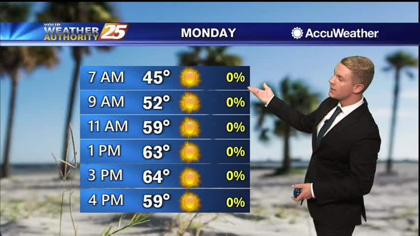
Coldest overnight lows of the week are expected Monday night into Tuesday morning as skies remain clear and winds turn very light to calm across inland areas. Temperatures will plummet into mid to upper 30s across most inland communities Monday…
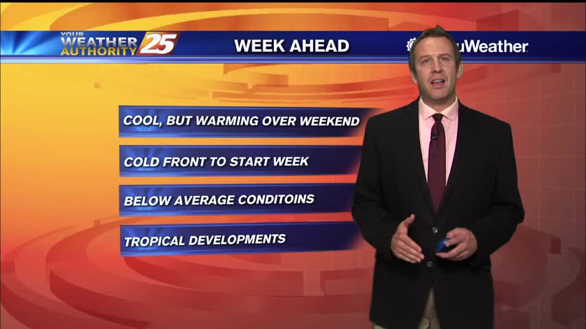
Another chilly night in the upper 40s, but slightly warmer weather is ahead...just doesn't last long before another cold front moves in.
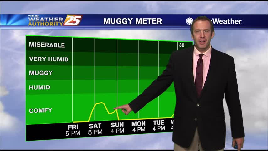
Another cool evening ahead before we move into quite a chilly night, but a little warm-up is on the way.
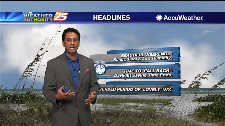
A lovely afternoon ahead with sunshine and the winds relaxing...
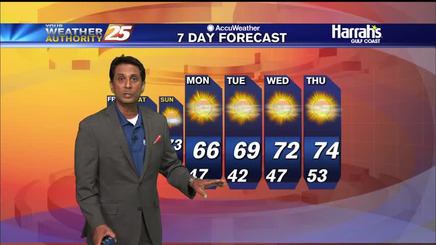
A chilly start to the day with temperatures in the upper 40s/low 50s...
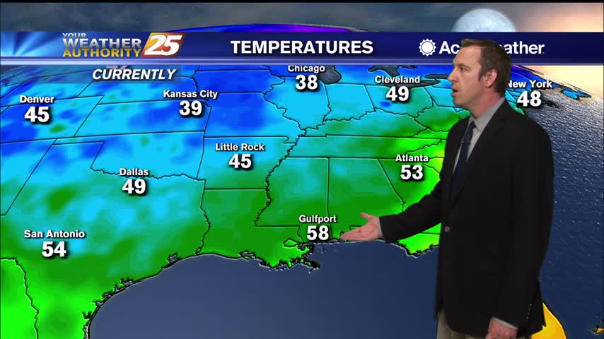
Zeta is gone and cooler, drier air is rapidly filling in its wake...
Our first day of post-Zeta weather is practically perfect, and will remain so through the weekend!