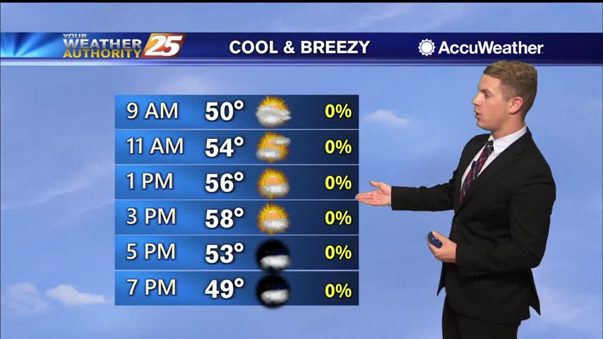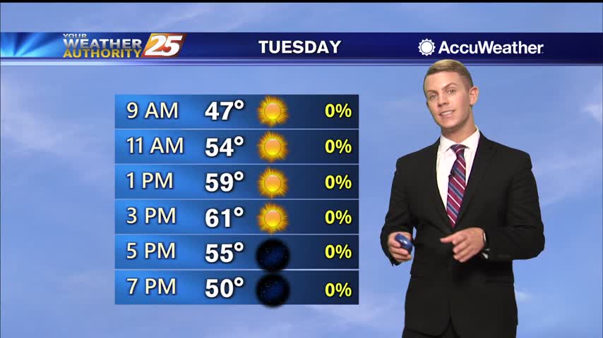
12/15 – Brantly's "Mostly Cloudy" Tuesday Morning Forecast
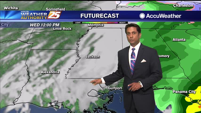
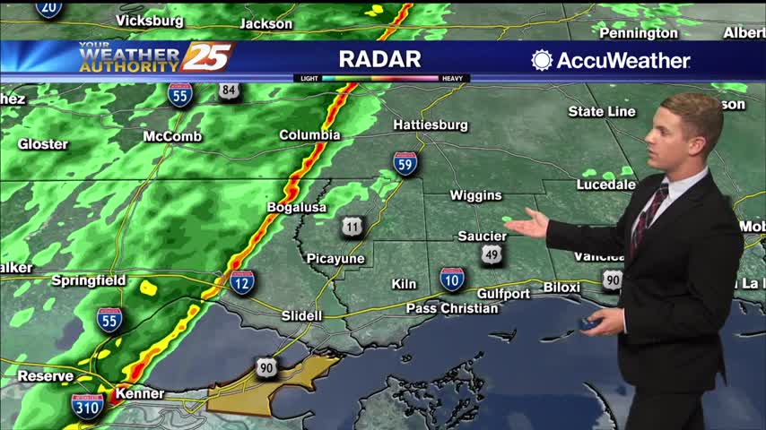
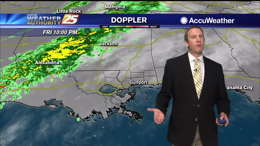
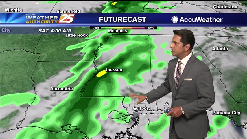
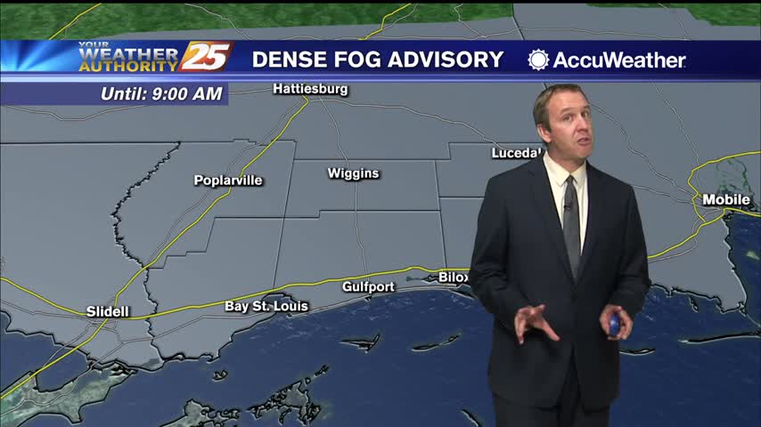
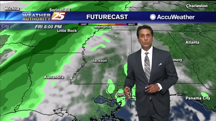
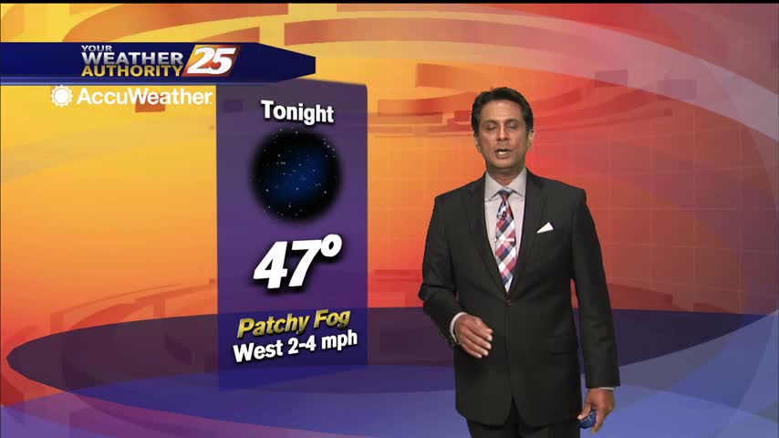
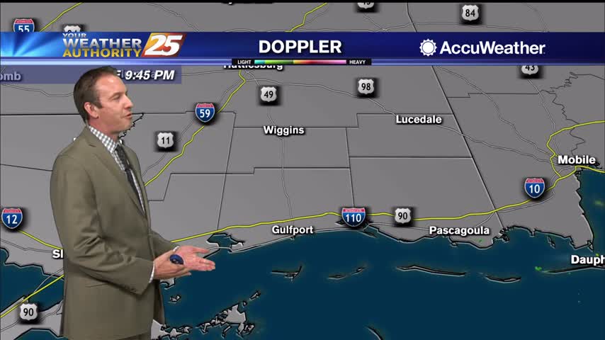
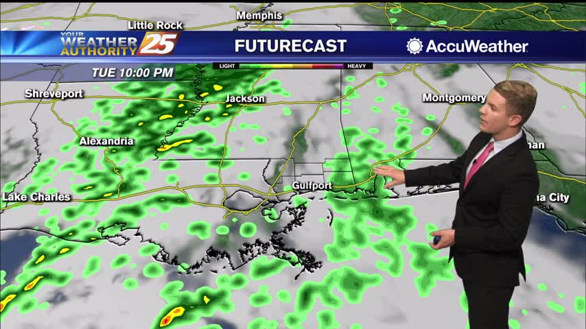
A mid/upper level shortwave trough will traverse the Plains today, reaching the ArkLaTex region by late tonight into early Wednesday morning. Zonal flow will then take hold aloft over the northern Gulf coast as this feature passes to the east…