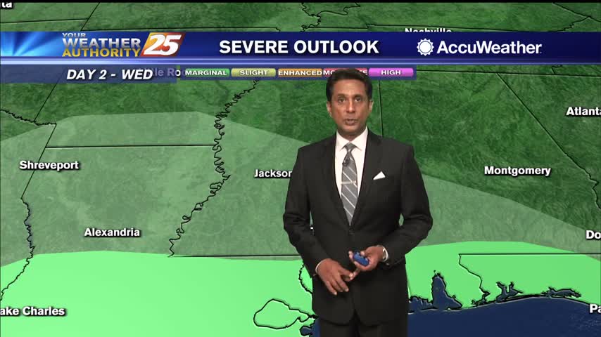
12/22 - Rob Knight's "Big Changes Ahead" Tuesday Morning Forecast
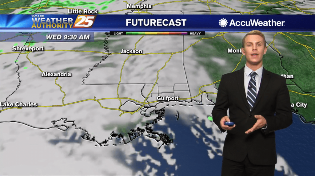
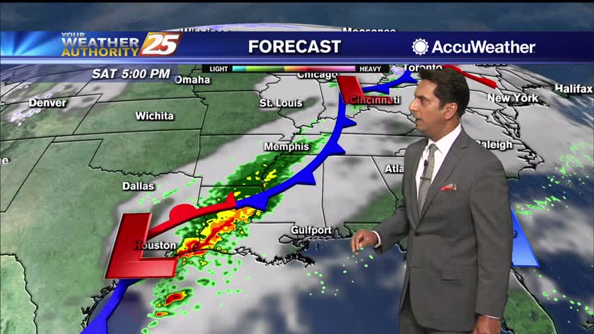
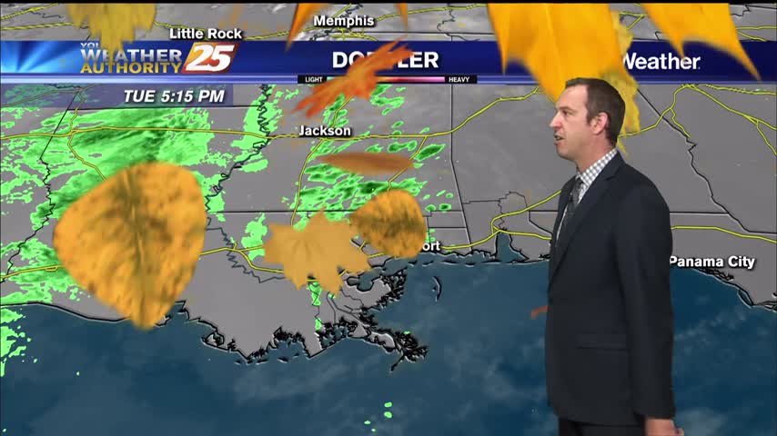
A cold start to the day with a VIGOROUS storm system developing west...
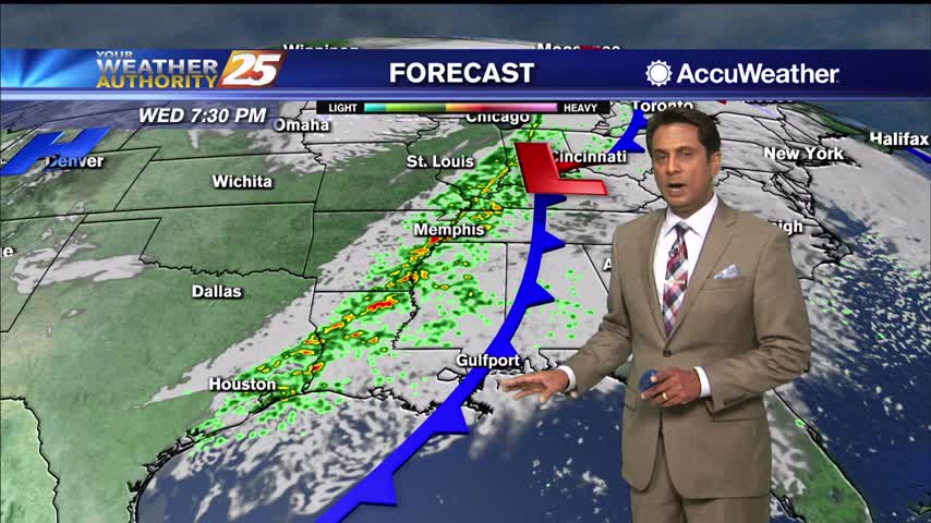
A cold start to the day with a VIGOROUS storm system developing west...
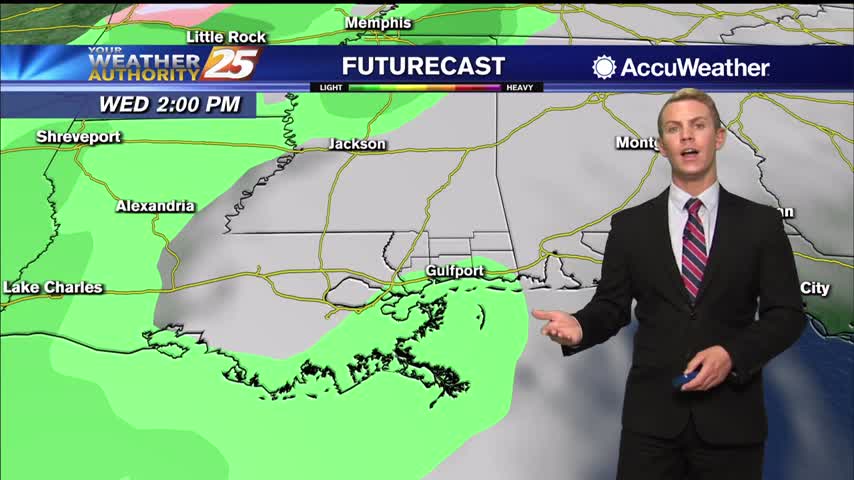
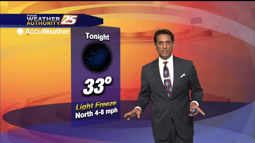
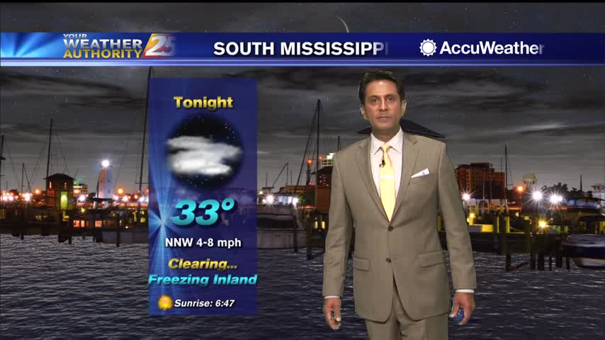
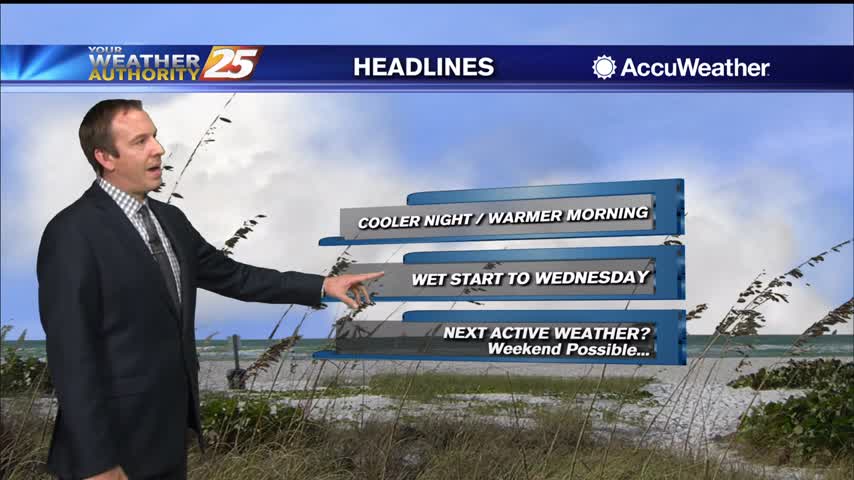
Expect one more chilly night tonight with temperatures bottoming out around normal for this time of the year with lows in the upper 30s and lower 40s for inland areas and in the mid 40s to lower 50s farther south…
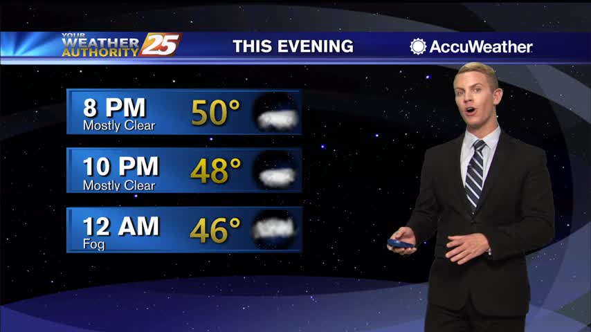
High pressure will gradually slide eastward through Tuesday night ahead of our next frontal system. Expect one more chilly night tonight with temperatures bottoming out around normal for this time of the year with lows in the upper 30s and…
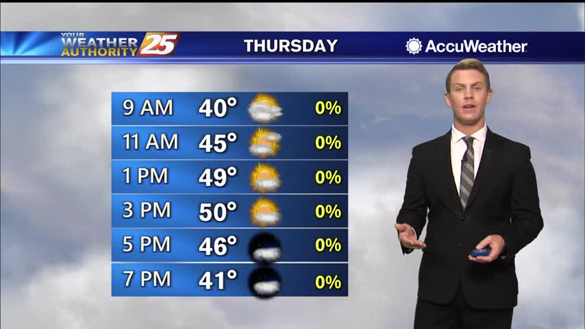
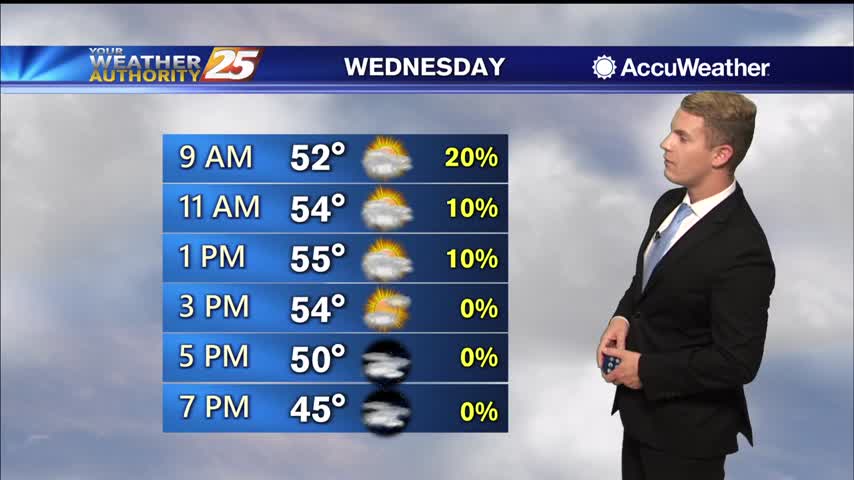
A lovely afternoon ahead with seasonal temperatures and sunshine...
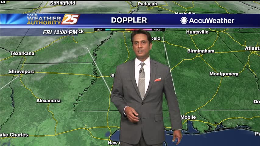
Areas of DENSE FOG affecting the south Mississippi on this 1st day of winter...
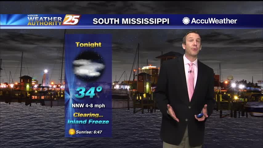
By Monday, skies will clear as the drier air finally makes its way into the area and a couple day period of drier and milder weather will develop. Lows tonight will dip down into the upper 30s inland to low…
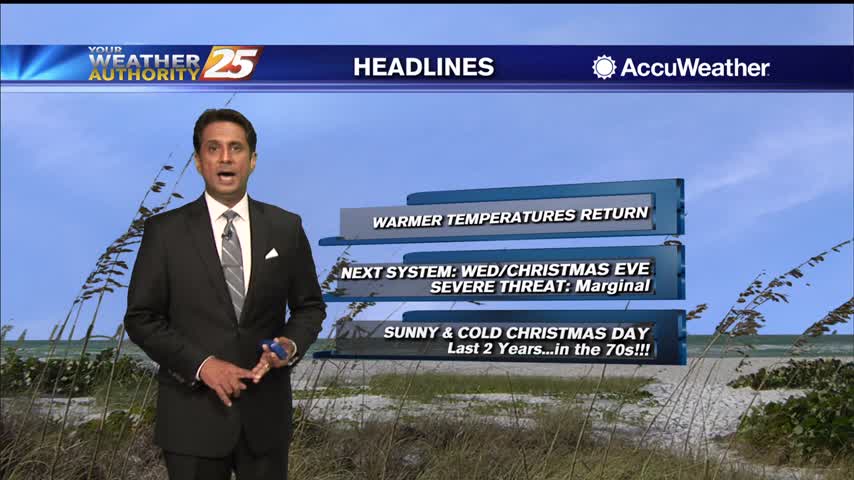
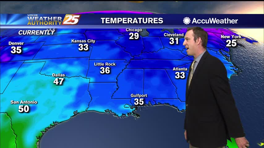
Another very cold night ahead, but we are starting a warming trend that'll take us into next week....
Last night was the coldest we've seen in a while, but we're warming rapidly into the weekend as a front closes in....
Cool temperatures ahead this afternoon under an abundance of sunshine...
A VERY COLD start to the day with major changes in the near term...
Below freezing across the coast tonight, but an approaching front will have us back in the 60s by Saturday....
Tonight will be the coldest night of the week, but we'll begin a warming trend pretty soon....
Cloud coverage from this morning has cleared east with sunshine ahead this afternoon...
Overnight temps stayed slightly elevated with persistent cloud coverage...
In general, zonal flow has taken hold aloft over the northern Gulf coast as an upper trough makes its way towards the east coast. This will persist until Friday morning when a brief period of weak ridging then moves over…
Very cold and dry air is moving in, leading to a few nights below freezing but it'll be back into the mid 60s by the weekend....
Front moved through early today bringing rain, but the dramatically cooler air won't arrive until later tonight....
A slow clearing will occur this afternoon through tonight as COLD air moves in...
A cool and cloudy start to the day in the wake of the overnight frontal passage...
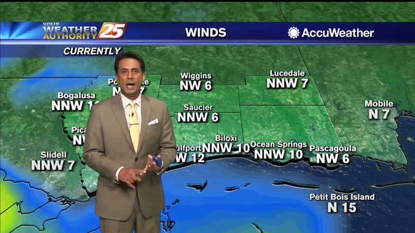
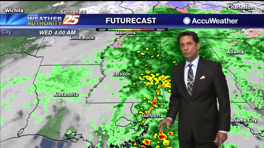
The low pressure will then move east of the local area by this afternoon, with a well-established northwest flow in its wake as high pressure takes hold through Thursday. Winds could be gusty at times today, particularly near the coast.…
Our last front moved through Sunday with very little fanfare, but tonight's will be slightly more organized...still clearing out quickly though.
Still cloudy from the weekend, but now rain is starting to pop up and will become more frequent through the night.
Some sunshine will peek through the clouds this afternoon in advance of overnight rainfall...
A cool, but warmer start to the day as overnight temperatures stayed elevated due to cloud coverage...