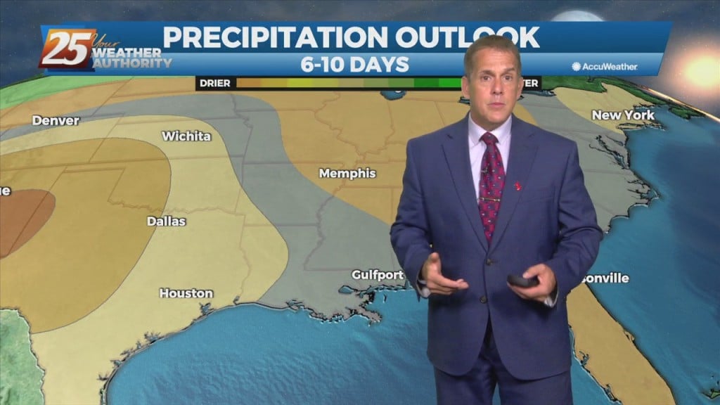
Rob Martin's "More Rain Potential" Thursday Night Forecast
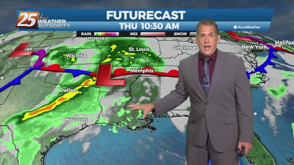
Finally some rain arrived today, with most of it ending up in George County where there was briefly a severe t-storm warning. Our high pressure area responsible for…
Finally some rain arrived today, with most of it ending up in George County where there was briefly a severe t-storm warning. Our high pressure area responsible for…
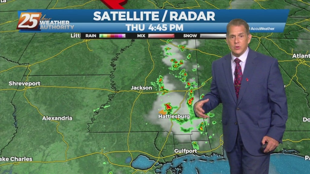
Our high pressure area responsible for the heat is giving some ground to a low-pressure moving toward Florida/Georgia today. Showers and thunderstorms will break out along…

An upper level low-pressure system currently centered in the western Atlantic will move west into FL/GA today. At the same time, an upper level disturbance to the NW will…
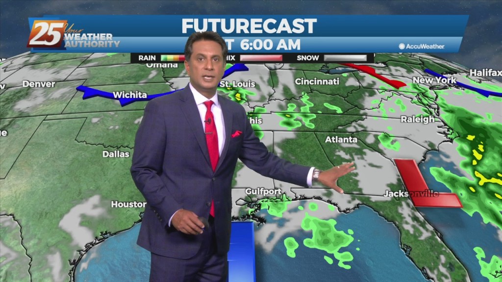
An upper level low-pressure system currently centered in the western Atlantic will move west into FL/GA today. At the same time, an upper level disturbance to the…
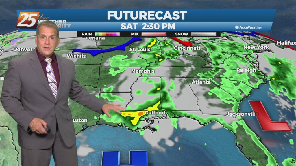
Today was likely the peak of the hotter temperatures, but Thursday will come close. We drop into the upper 60s tonight with a not-too-humid…
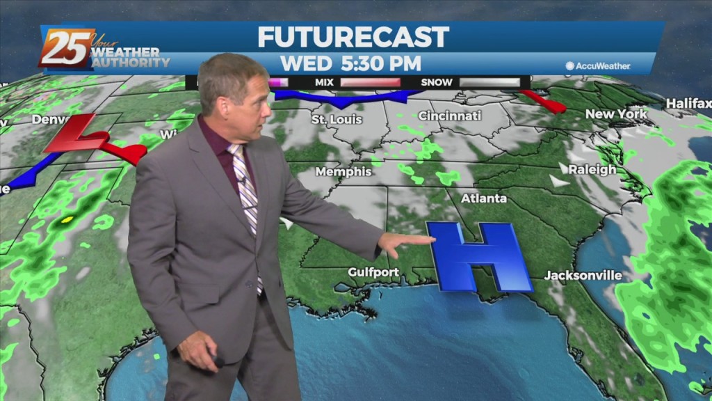
Heat peaks today with numbers not too far behind expected Thursday. We drop into the upper 60s tonight with a not-too-humid feel to the air. An upper-level low currently in the western Atlantic will move eastward into the east coast…
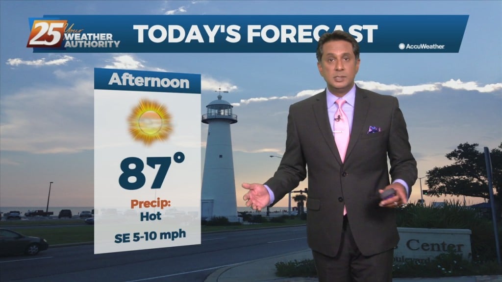
Hot and dry pattern continues as high-pressure extends SW to NE from the western Gulf of Mexico to the Great Lakes. This will easily support…
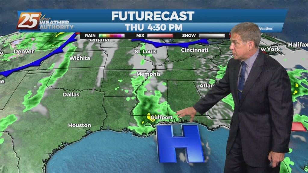
Expect a very pleasant Tuesday night as skies clear, with lows in the 60s. Cooler drainage areas around Pascagoula and central Jackson County could…
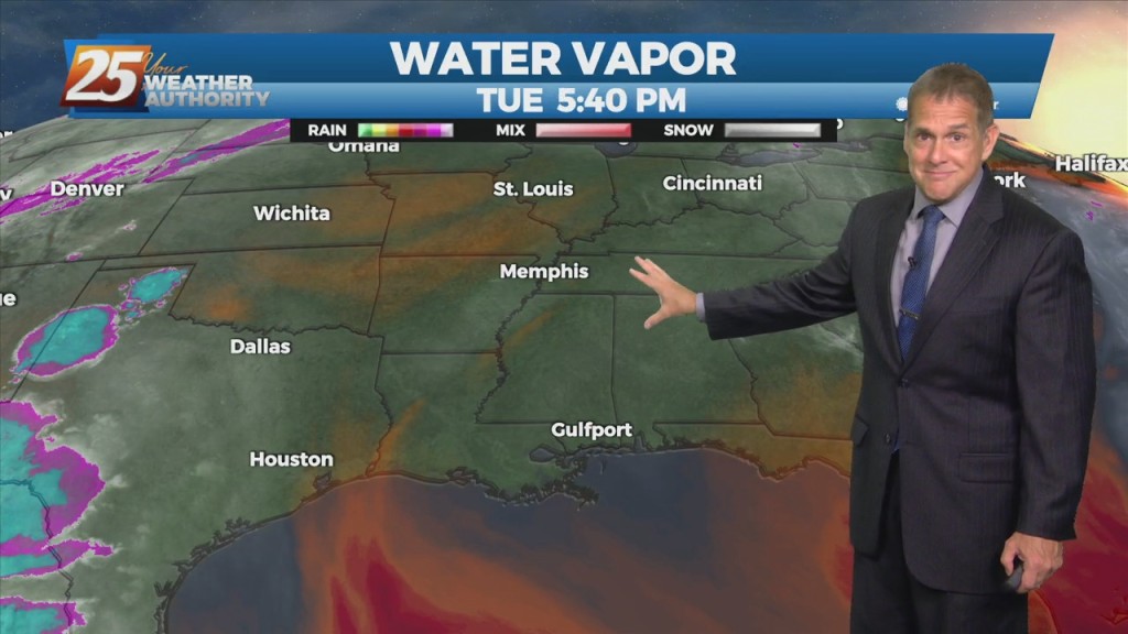
The very warm pattern continues with 80s along the coast and readings closer to 90 inland. As high pressure builds further, heat for the week will…
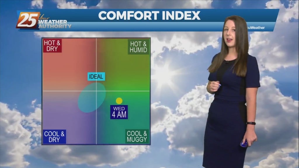
This afternoon, high-pressure NE will easily support max temperatures around 90 degrees, with isolated locations approaching mid-90 with the heat index. Low-pressure currently in the western Atlantic will approach…
Hot and dry pattern continues as upper level high-pressure builds SW to NE across the Mississippi Valley. This will easily supports high temperatures around 90 degrees, with…
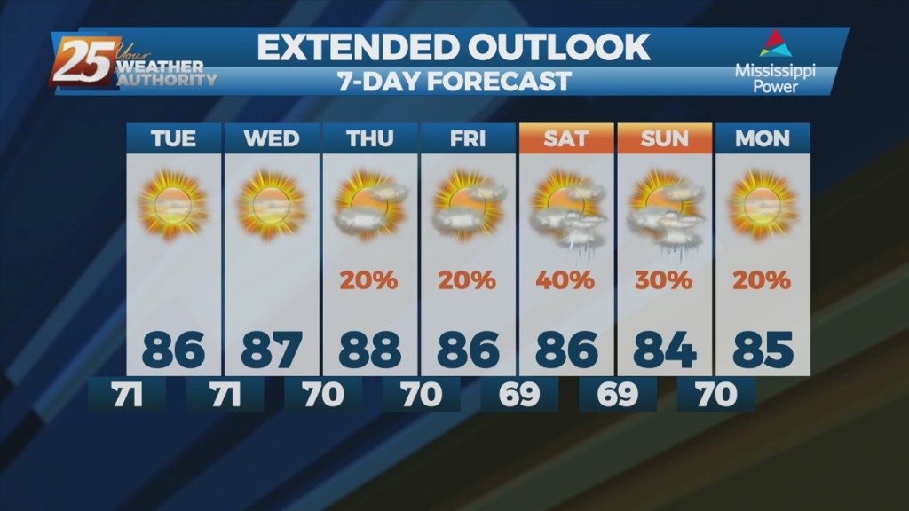
Steady as we go in the short term. Humidity was up today, and it will be with us through the week, although it won't be oppressive. That…

After a relatively dry Mother’s Day weekend, humidity bumped up a notch today, and it will be with us early this week, although not oppressive. That…
The heat will feel stronger today as moisture levels have clearly risen. The muggy hot feel will show heat index values in the mid-90s. Although, these…
Fog this morning in a few locations and may get dense in those locations around sunrise. But most areas are seeing temps high enough to keep fog…
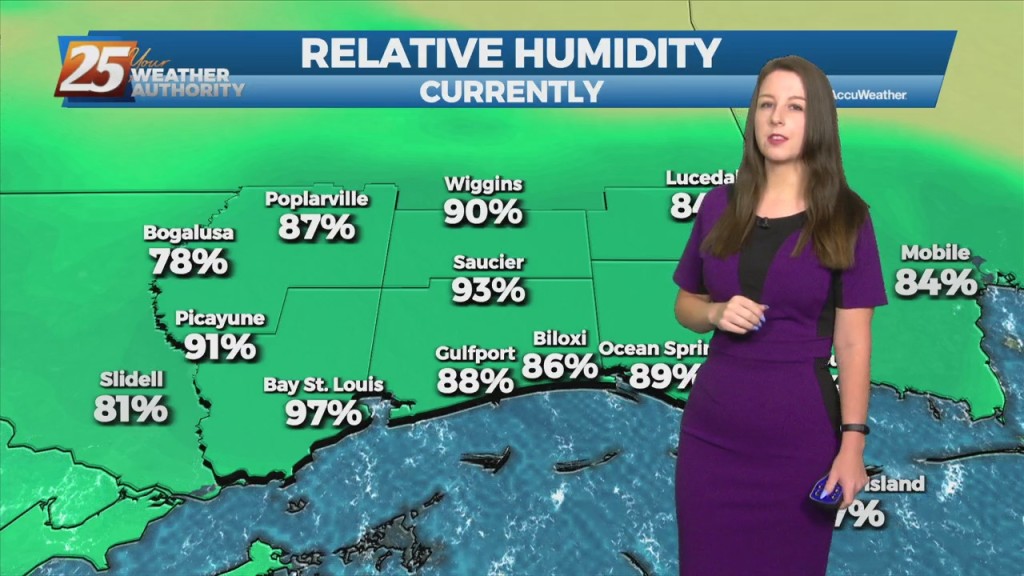
The main talk of the short term will be the heat, we will definitely have plenty of it to go around. Many areas will see the low 90s Monday…
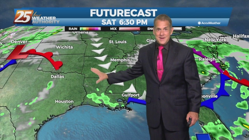
In the short term we’ll some very nice nights coming our way! A light northwest breeze has taken place of southerly flow in the…
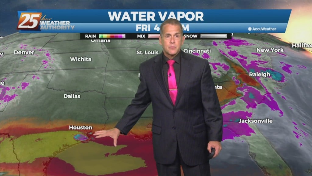
A northwest to west flow has developed in the wake of this morning’s thunderstorms, setting up a very pleasant, cooler and drier Friday night. The…
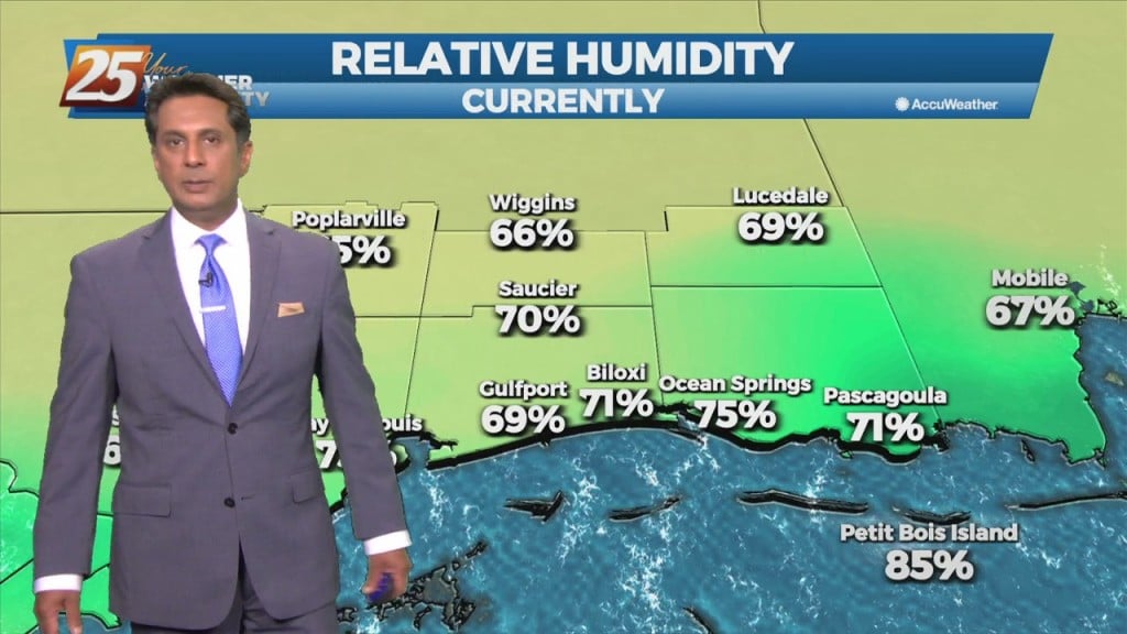
Strong stability will move into the area once the cold front begins to move through later this afternoon. Clouds will clear the area this afternoon but since the…
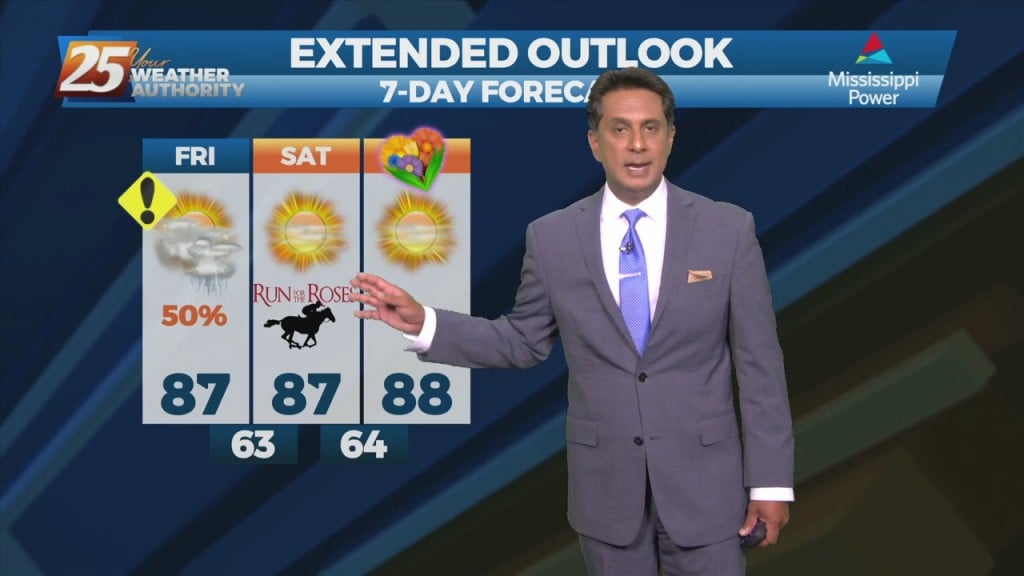
This morning will bring another line of showers/t-storms developing in response to the next disturbance which can be seen in the blowup of convection over the NW gulf.…
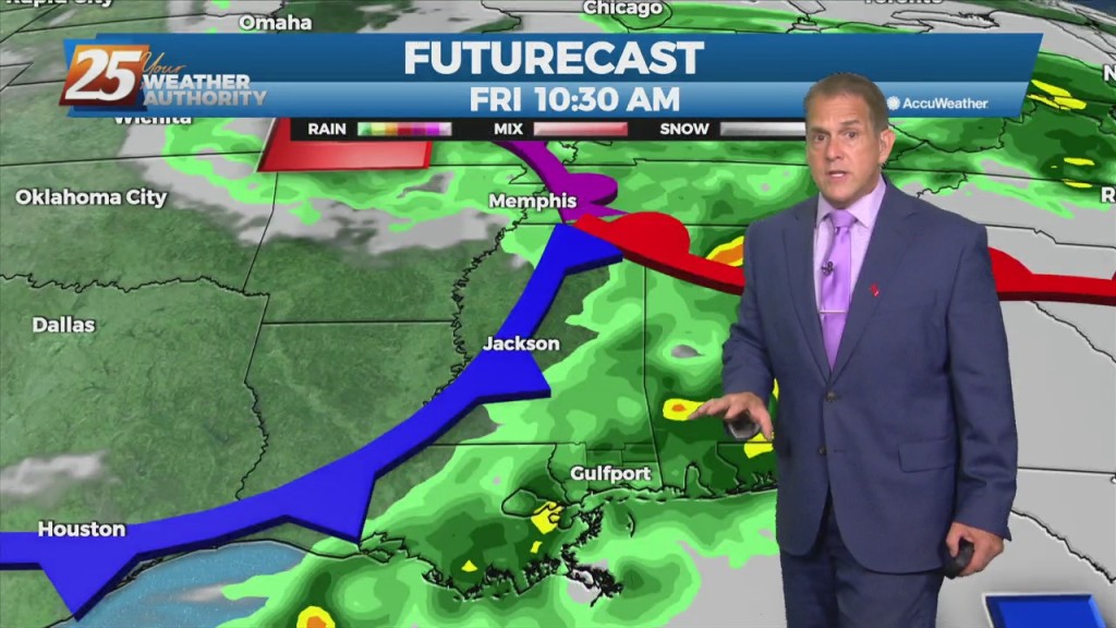
The warmest temperatures of the season are on the horizon, but first we have to deal with a few thunderstorms. Some showers will develop late…
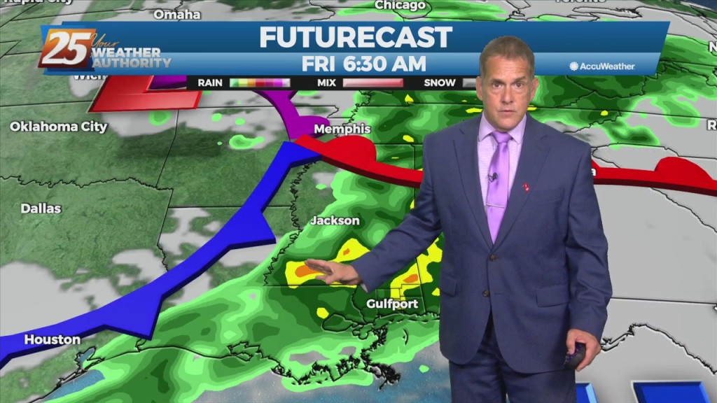
A few showers will develop late tonight ahead of an approaching cold front. The front will affect the area Friday around daybreak, with the bulk of…
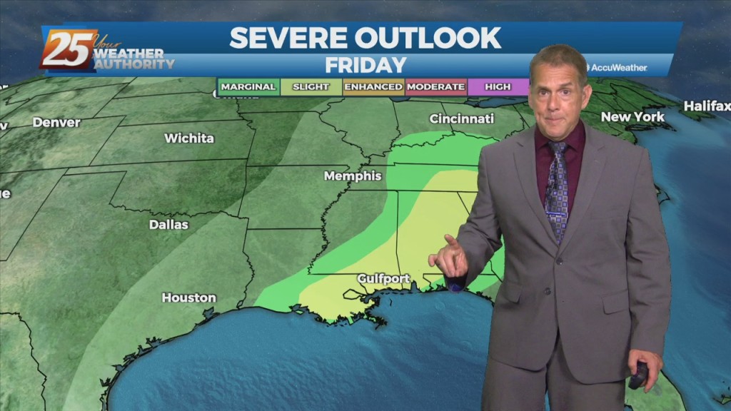
Not much change is expected through Thursday, with afternoon highs in the mid 80s and a bit more of a sea breeze. However, a couple of…
Steady as we go with the forecast through tomorrow with the above-normal temperatures. The next impact weather will occur Friday morning around daybreak. Instability…