4/21 – Rob Knight’s “Warm & Muggy” Thursday Morning Forecast
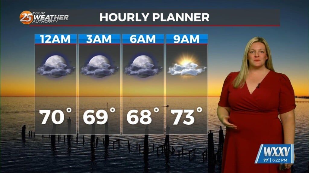
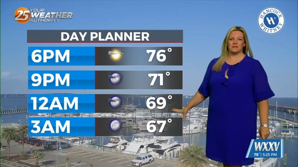
The disturbance that tried to bring showers to the region yesterday is quickly moving farther away from the area. As it does so, an upper level high-pressure will begin building in and across the southeastern CONUS today through Saturday. As a result, onshore flow continues to become well established. Those 2 changes will enhance moderating period that started yesterday. We will see about a 5 degree rise in low/high temperatures today. Forecast temps aren’t specifically record but getting within a few degrees depending on the day and location. I wouldn’t be surprised to see a record broken between today and Saturday. From a rain chance perspective, I’m not carrying any in the portion of the forecast period.
The upper level high-pressure that is situated in the eastern third half of the CONUS will continue to amplify, with a deepening disturbance in the western half with a cutoff low located around the northern plains states The trough will push eastward with it bringing a cold front into the area and our next chance of showers and thunderstorms as early as Sunday. As of right now, there’s not really much of a concern for severe weather with this system. This system should clear the area early Tuesday morning.
Only other thing of note in the long term is the continued above average temperatures Sunday and Monday with highs in the mid to upper 80s.


