5/23 - Britt's "Wet Work Week" Monday Afternoon Forecast
An area of low pressure located of across Central Alabama is producing showers and thunderstorms that are expected to move to the north and east. This low…
An area of low pressure located of across Central Alabama is producing showers and thunderstorms that are expected to move to the north and east. This low…
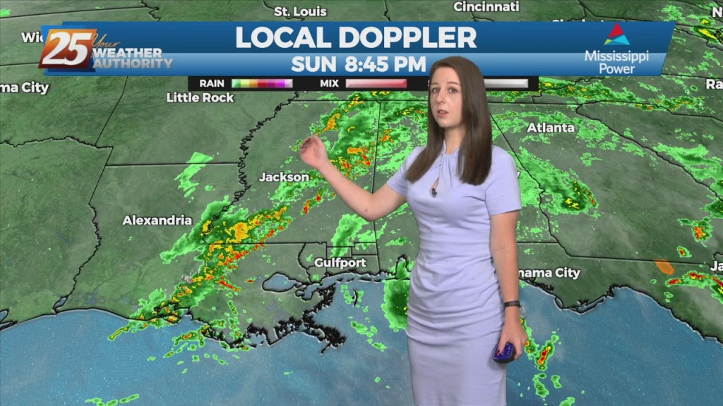
An area of low pressure located of across the Northern Gulf of Mexico is producing showers and thunderstorms that are expected to move to the north and…
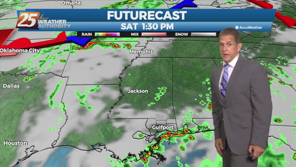
As high pressure continues to move east and lose its grip, some showers popped up to our east Friday. With the humidity and southerly flow,…
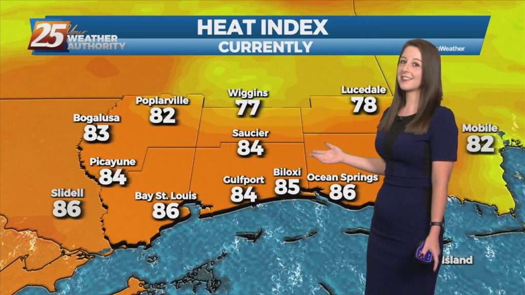
With a bump in humidity, real-feel temps crept up a bit today (mid-upper 90s), but the hottest weather this week is still behind us. As…
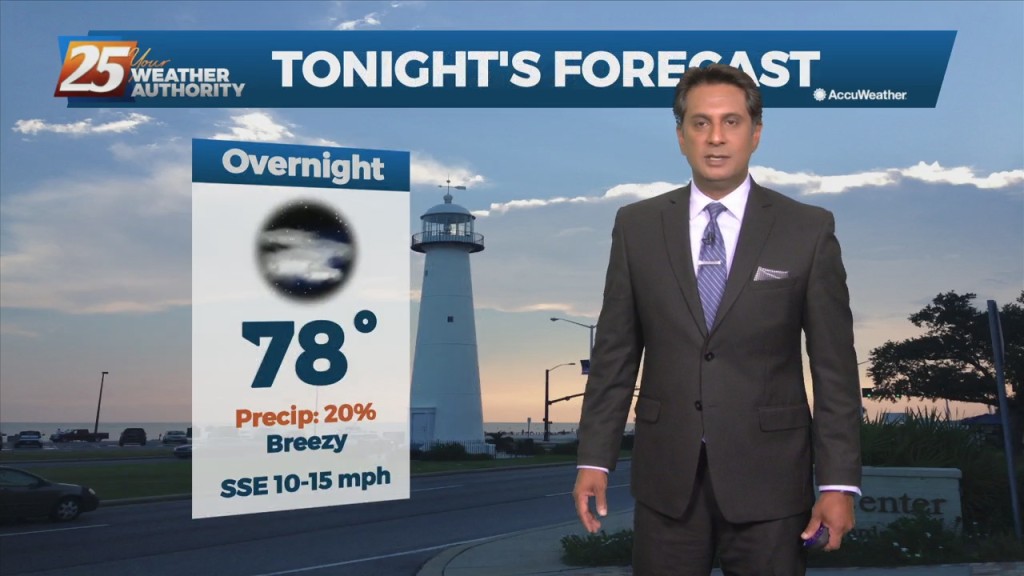
The hot and dry pattern will come to and end this weekend... The upper pattern will start the transition into a wetter one late in the…
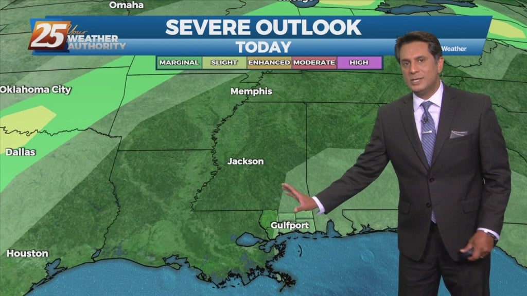
The upper pattern will start the transition into a wetter one late in the day with a weak disturbance sliding across the region. It’s not until Saturday…
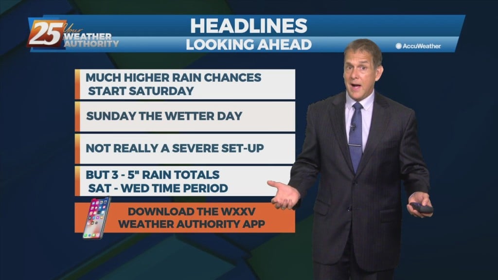
Real-feel temperatures weren’t as high today, mostly in the low-mid 90s. This was the result of slightly-lower humidity. However, tonight and Friday night’s lows will like be even…
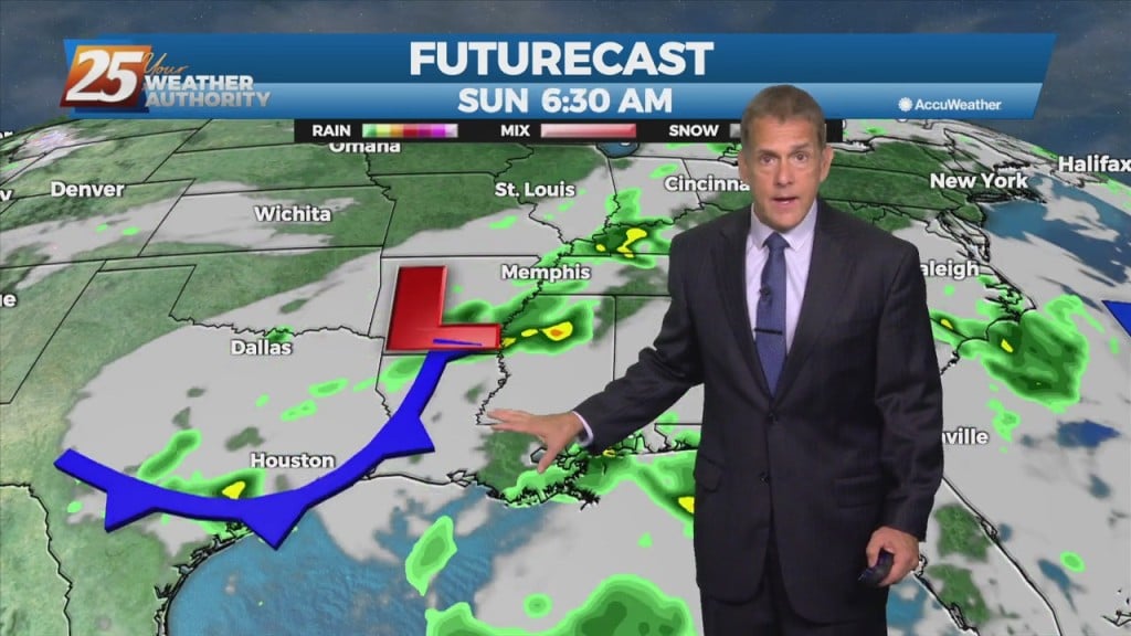
It was a bit more comfortable today due to a slight decrease in humidity and more of a sea breeze. However, tonight and Friday night’s lows…
Today will be quiet, humid, and warm with HI readings mostly in the mid to upper 90s and a few 100s. Saturday the chance for rain will increase.…
Today will be quiet, humid, and warm with HI readings mostly in the mid to upper 90s and a few 100s. Saturday the chance for rain will increase. Southwest…
It’s more of the same at least into Thursday as high pressure in the gulf remains in control. The northwestern periphery of the high will…
The weather pattern will hold through the short-term period with a broad area of high pressure off the Southeast U.S. coast extending westward along the northern…

The synoptic pattern will hold through the short-term period with a broad area of high pressure off the Southeast U.S. coast extending westward along the…
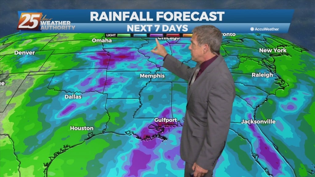
High pressure continues building off the gulf through Thursday, moving very slowly eastward. This means more in the way of sinking air to counteract any rising air, which…
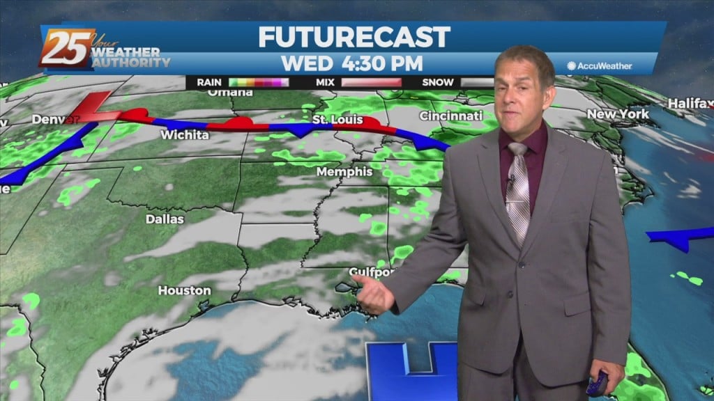
We transition to a primarily southerly flow today as high pressure start building in off the gulf. This means more in the way of sinking air…
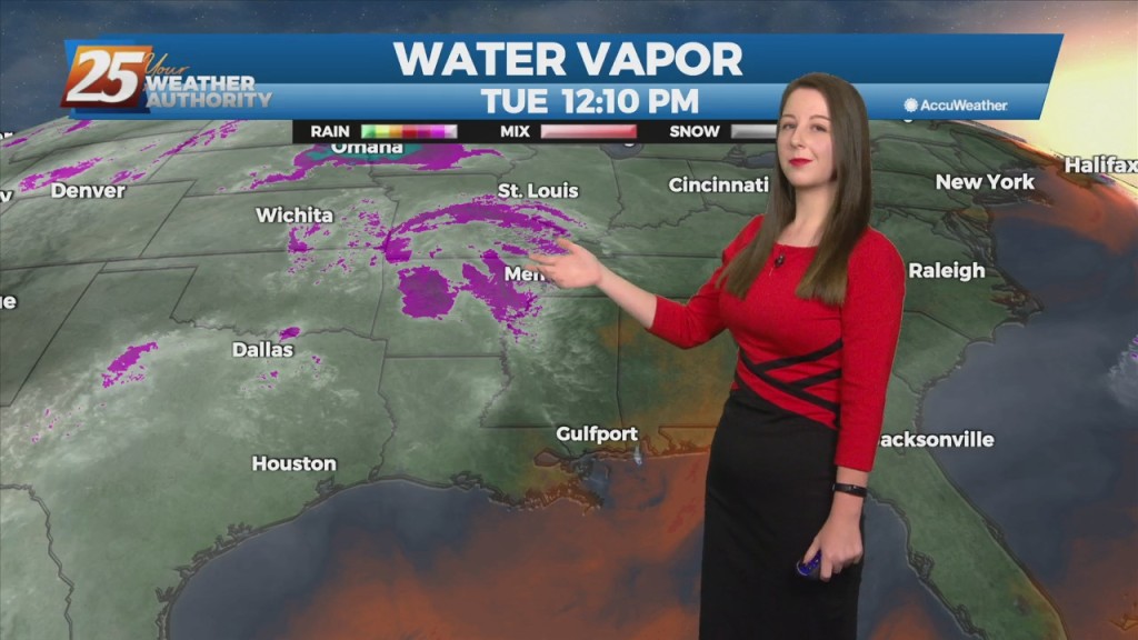
Today will mainly be a transitional day where the surface winds will shift from northerly to southerly. Some moisture will be reintroduced to the environment and instability…
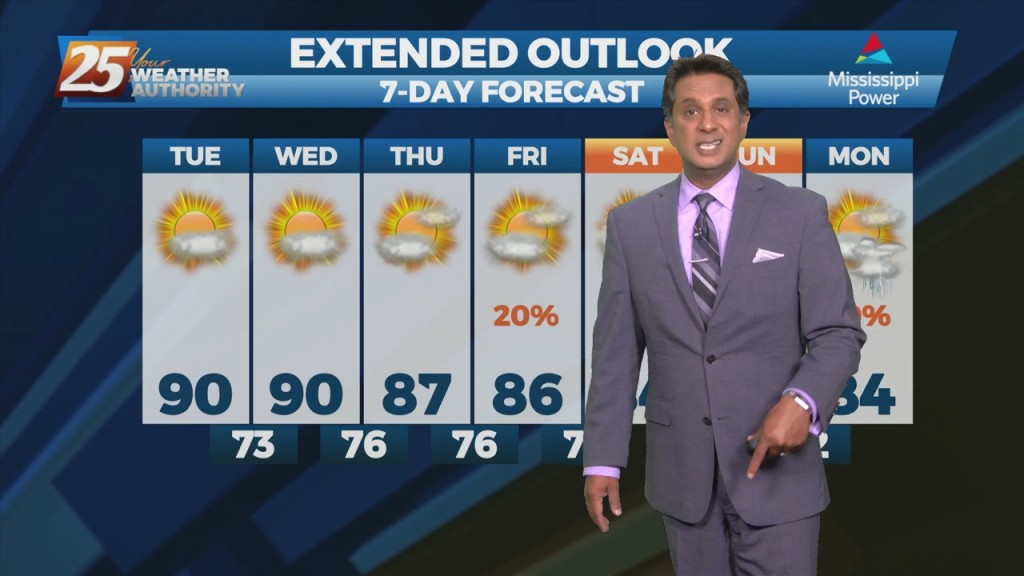
Today and Wednesday, high-pressure will set up over the area. Conditions will be dry primarily, looking at the models. Today will mainly be a transitional day where…
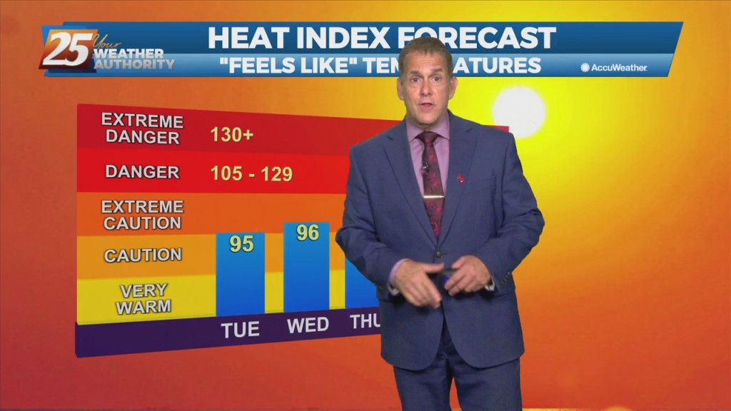
Beyond this evening, high-pressure attempts to build into the area for Tuesday and Wednesday. Expect lows in the upper 60s later tonight, with highs nudging 90 again…
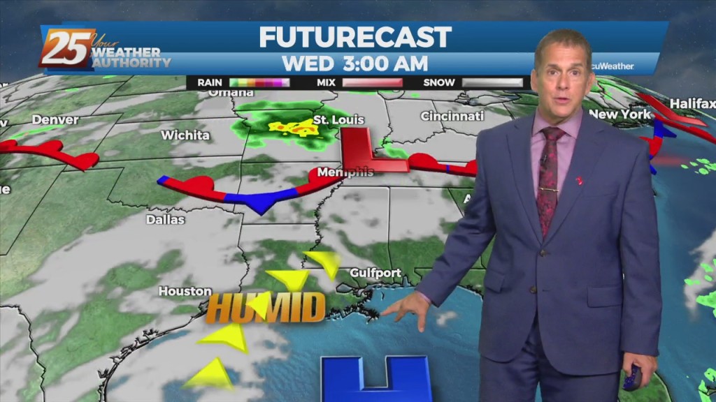
The weekend pattern repeats this Monday, with the potential for thunderstorms and isolated severe weather. We’ve had afternoon storms develop the last few days with similar conditions.…
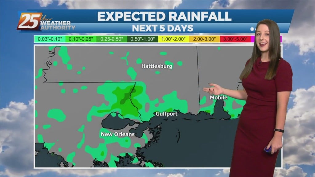
The main concern in the short term will continue to be the potential for thunderstorms and possible severe weather. We’ll remain in northwesterly upper flow today with…
The main concern in the short term will continue to be the potential for thunderstorms and possible severe weather. We’ll remain in northwesterly upper flow…
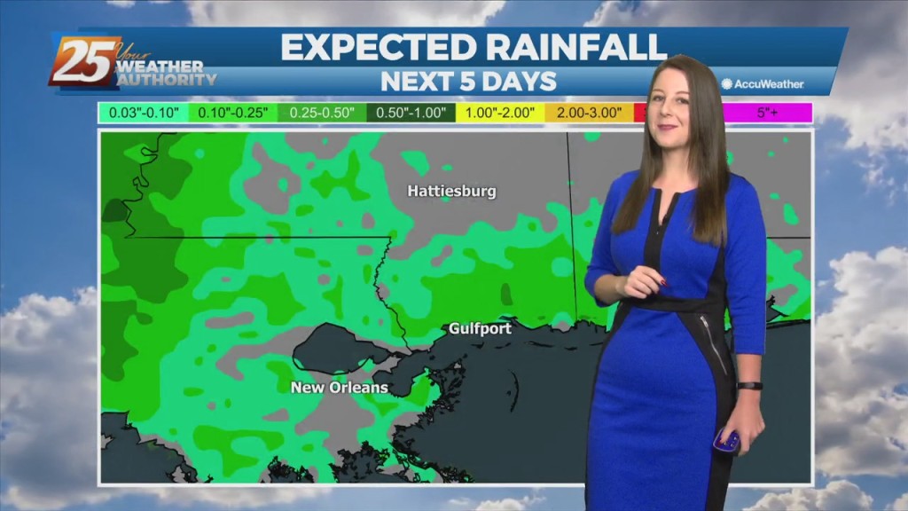
Tonight’s environment condition could be unstable enough for isolated to scattered showers and thunderstorms to develop through the overnight hours, likely with less than 30 percent coverage of…
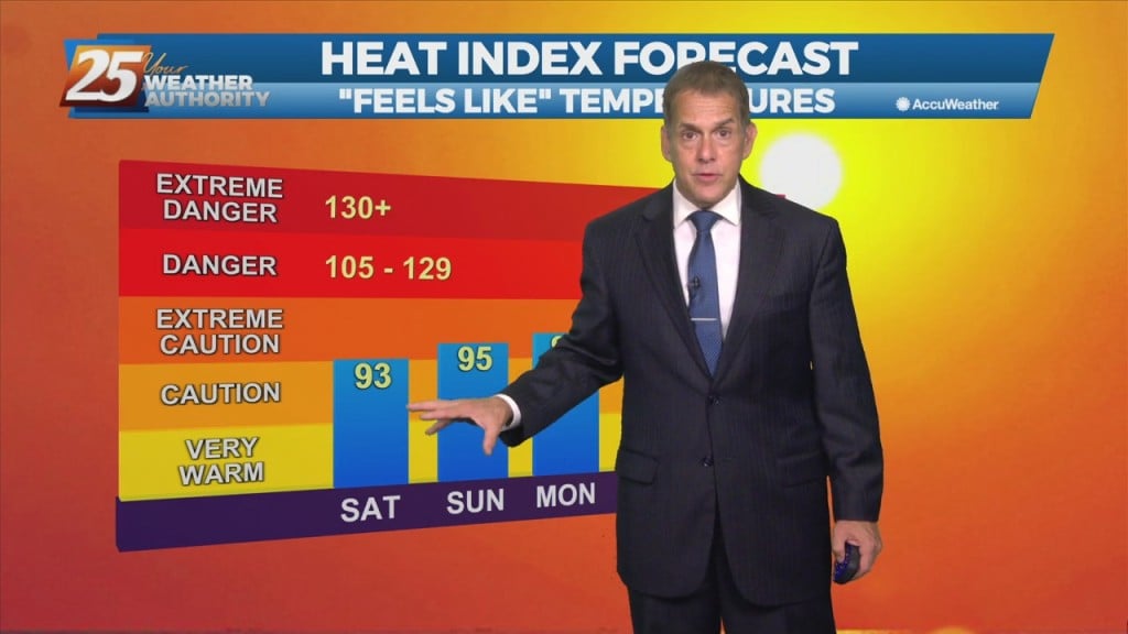
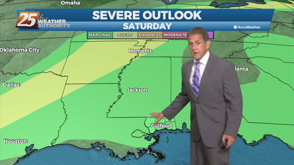
Flow around an upper-level low over the southeast will continue, bringing another round heavier showers and embedded thunderstorms Saturday. We can’t rule out an isolated severe…
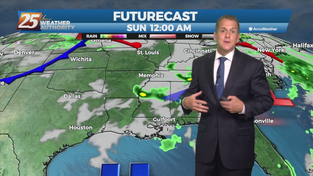
Low-level convergence of wind fields continues over the area, which in addition to daytime heating, will allow heavier showers and embedded thunderstorms both today and Saturday. Like…