4/24 – Jeff Vorick’s “Clearing” Monday Evening Forecast
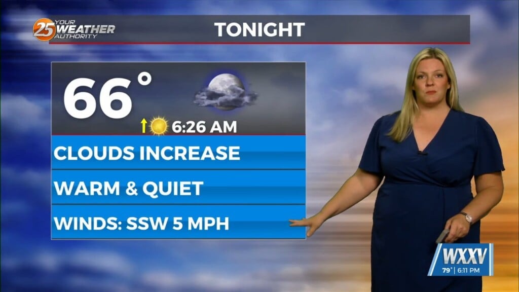
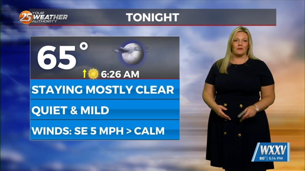
Cloud coverage has remained across the area today. Clearing will come tonight and winds will relax somewhat which will allow for more efficient cooling. On and off cloud coverage with more widespread afternoon warmth can be expected for Tuesday. Winds will begin to shift to a southerly direction as high pressure to our north moves to its east.
Rain chances begin to elevate Wednesday. Just isolated rain chances can be expected Wednesday. The best rain chances will come Thursday with an approaching frontal system. This will provide for the potential of a complex of thunderstorms to develop ahead of the cold front. Expect rain chances to peak during the day Thursday.
The cold front will then bring a slightly drier airmass in for Friday ahead of a secondary cold front. The secondary front will come through by Saturday, bringing a reinforcing shot of drier and potentially chilly air.


