3/11 – Jeff Vorick’s “Cool/Turning Warmer” Monday Evening Forecast
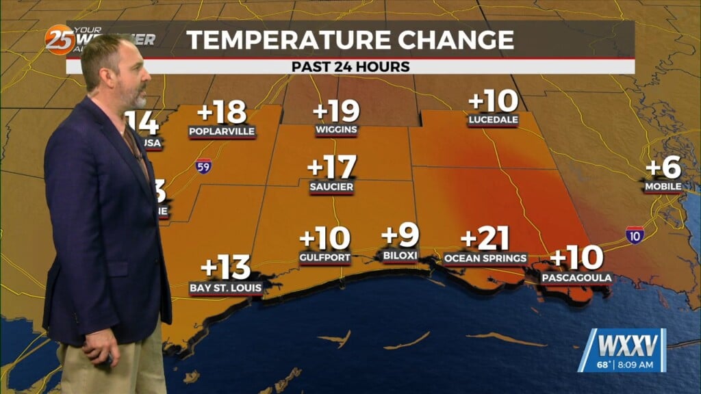
Skies will clear out for the most part tonight while temperatures remain cool if not chilly. Lighter winds and the clearer skies will yield efficient cooling so expect another morning where you need the jacket early on. Tuesday features warmer afternoon temperatures thanks to southerly winds returning to the area. More sunshine can be expected. As we work towards the middle of this week, more warmth and humidity will return. This will set the stage for an unsettled pattern to make its appearance.
Wednesday brings a 20-30% chance of showers as moisture and favorable dynamics do support it. Thursday through the weekend brings a frontal boundary to the area which will stall out. Several disturbances will ride the boundary which will bring rounds of heavy rain to the area. Exact timing will be fine-tuned over the coming days but expect a rainy stretch.


