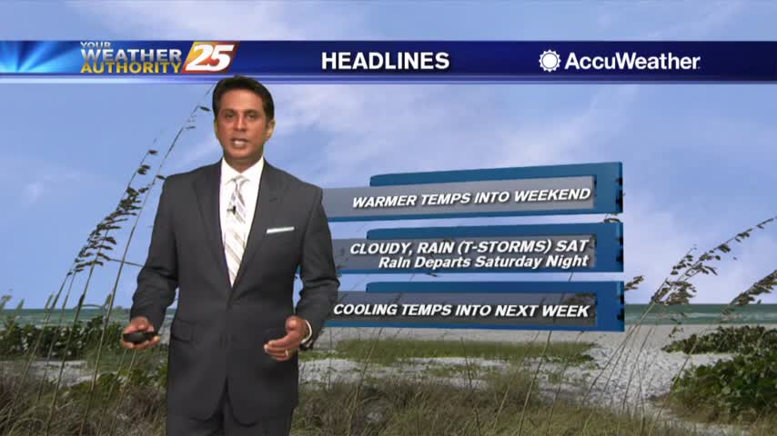
1/17 - Rob Knight's "Friday-Eve" Warmer Forecast
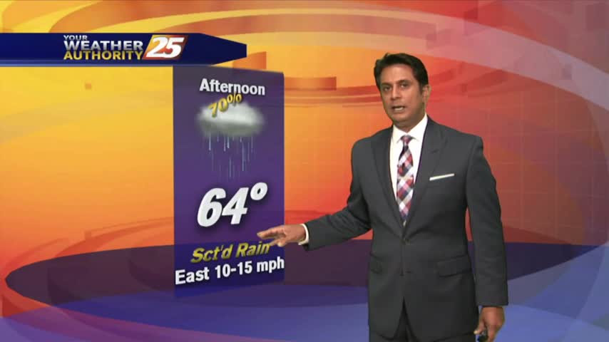
With a warmer/humid air mass moving in ahead of a weak cold front, spotty light rainfall is moving across the area...
With a warmer/humid air mass moving in ahead of a weak cold front, spotty light rainfall is moving across the area...
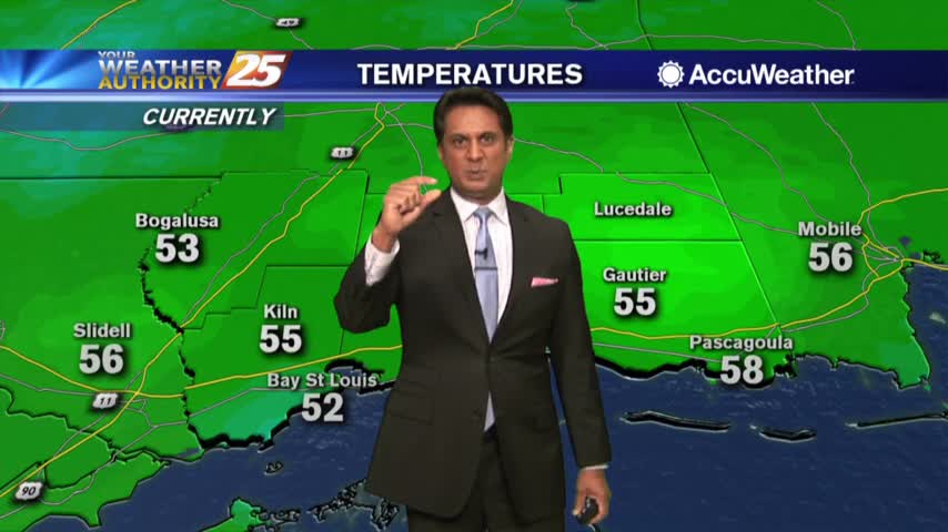
After a chilly start to the day, temperatures continue to warm under beautiful blue skies...
The pesky cloud coverage seems to want to linger through the region, but changes will come later today...
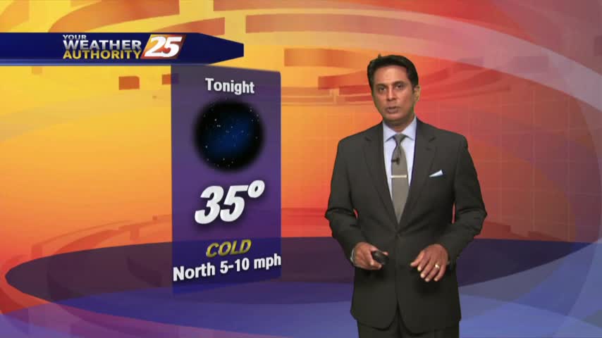
The cold air is back in the region as an area of high-pressure to the NW brings extensive cloud coverage...

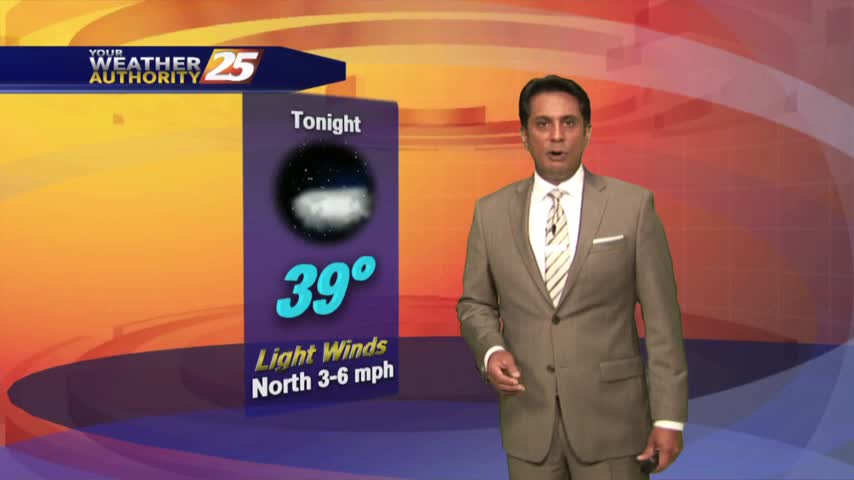
The warm-up has been slow under clear skies, but major changes will occur overnight...
Another FRIGID start to the day, but an approaching system to the west will bring changes...
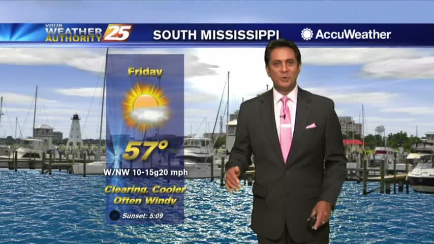
In the wake of last night's cold front, it's a chilly start to the day with the winds beginning to increase...
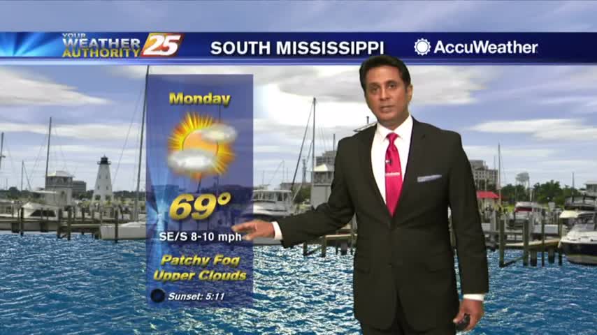
As the warmer more humid air mass continues to move in, areas of patchy fog has developed this morning...
Rainfall has ended as the cold front is now moving east across the Florida panhandle...
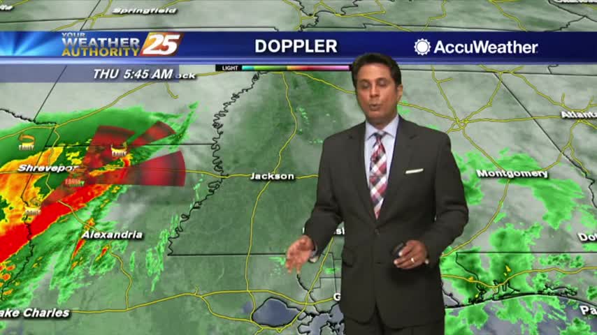
Light rainfall continues to move in from the SW...
A cloudy start to the day with areas of light fog and drizzle as a warm front is over the area...
With a warm and humid air mass affecting the area/region, areas of dense fog from this morning continues...

Another cloudy and gloomy start to the day with areas of patchy fog and light drizzle/mist...

Another wet and foggy start to the day and the New Year as the cold front has stalled to the east of the viewing area...

Spotty rainfall continues to move across the area as temps have not bugged from the overnight low of around 70 degrees...
A gray and wet start to the day with areas of patchy DENSE FOG and showers moving in from the SW...
The heavier rainfall has moved east but spotty showers and t-storms will continue this afternoon into tonight...
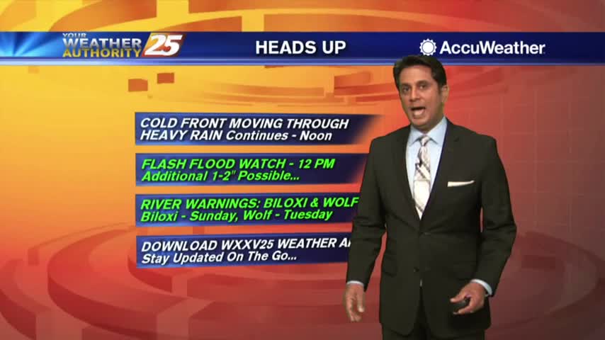
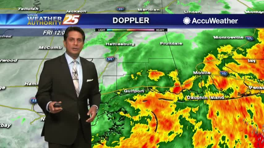
A VERY WET start to the day as HEAVY RAINFALL continues to move across the viewing area...
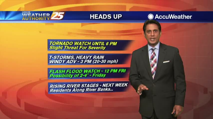
Rainfall is developing in the area in advance of a cold front west of Baton Rouge, our area is under a TORNADO WATCH...
As the first batch of rainfall move to the NE, VERY WINDY CONDITIONS continue to affect the viewing area...
Low-level clouds continue to dominate the area as winds have been gusting into the 20 mph range...

Light rain has moved east of the viewing area as the cloud coverage will continue through midday...
Light rain is now east of the area with DENSE FOG along the southern 6 counties...
Light rainfall has been moving in from the SW, with heavier activity expected later this afternoon...