12/27 – Rob’s “TORNADO WATCH” Afternoon Forecast
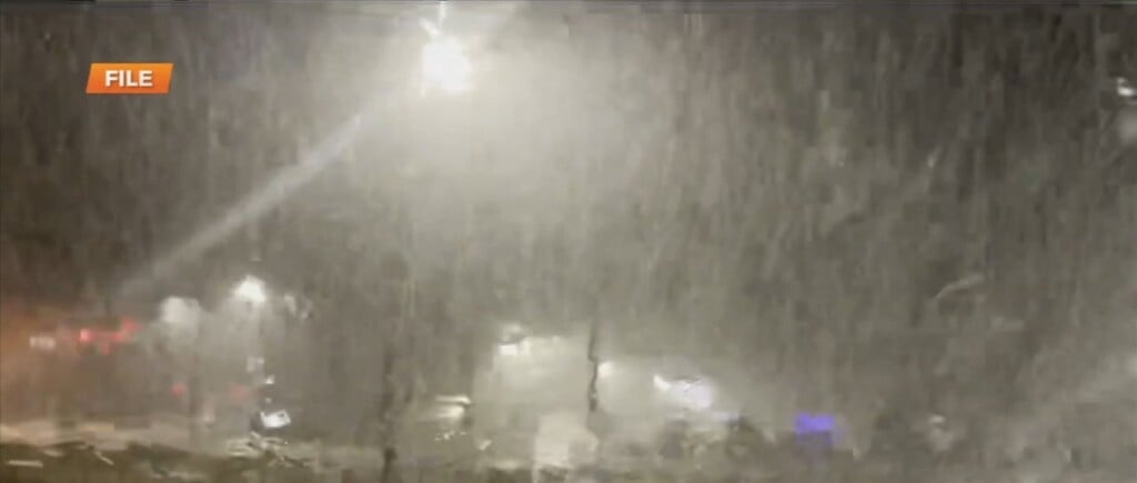
TORNADO WATCH is in effect through 6 pm…
VERY STRONG winds from this morning will continue but taper-off slightly this afternoon, a WIND ADVISORY is still in effect through 3 PM. Another batch of rainfall is now moving into the area from the W/SW with a SLIGHT THREAT for SEVERITY.
With plenty of moisture in place, heavy rainfall remains a concern today. The northern part of the area is in a SLIGHT risk of excessive rainfall with the rest of the area in a MARGINAL risk to around mid/late-afternoon.
A flash flood watch remains in effect for the entire forecast area through early Friday morning. Rainfall amounts of 2-4 inches are now expected area wide with isolated higher amounts possible. In addition to the heavy rainfall threat, some of the storms into the mid-afternoon time frame could become severe with the main threat being strong winds and an isolated tornado. Rain chances remain high early Friday before tapering off some on Friday evening and into Friday night.
The big concern continues to be the larger scale pattern through the weekend as the frontal boundary will likely remain stalled out near the central Gulf coast. Bursts of showers and at times bands of thunderstorms with downpours are likely to occur over the weekend and possibly exasperate any flooding and hydrological issues. The flash flood watch may need to be extended into the weekend depending on the amount of rain the area gets out of this first system and the progression of front. Temperatures will remain above normal to the southeast of the meandering frontal boundary, but turning cooler behind the front by early next week.


Leave a Reply